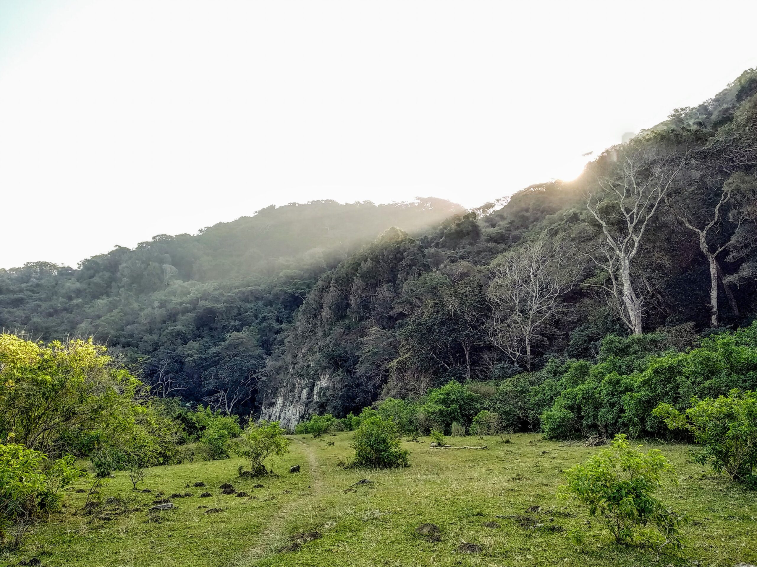
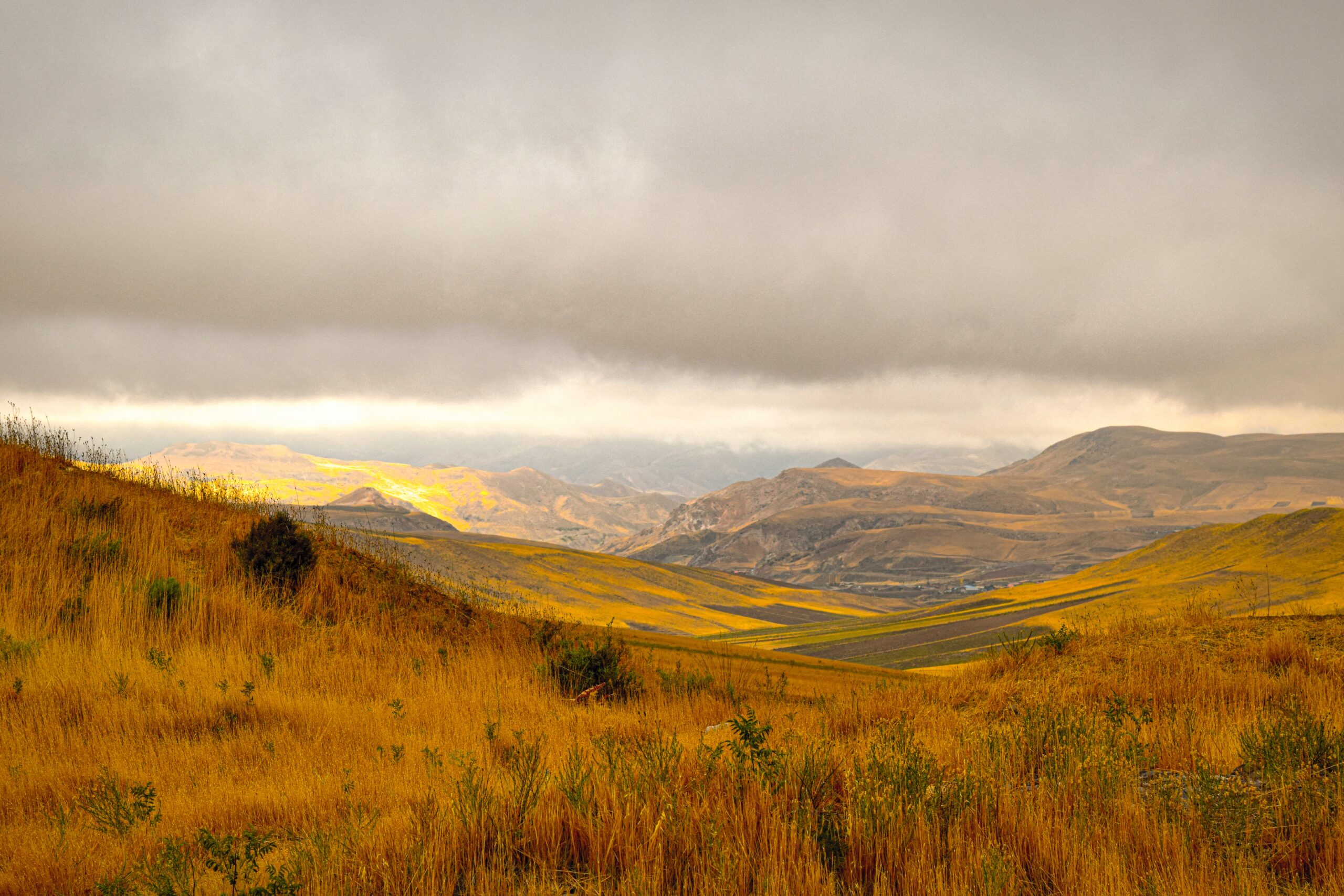
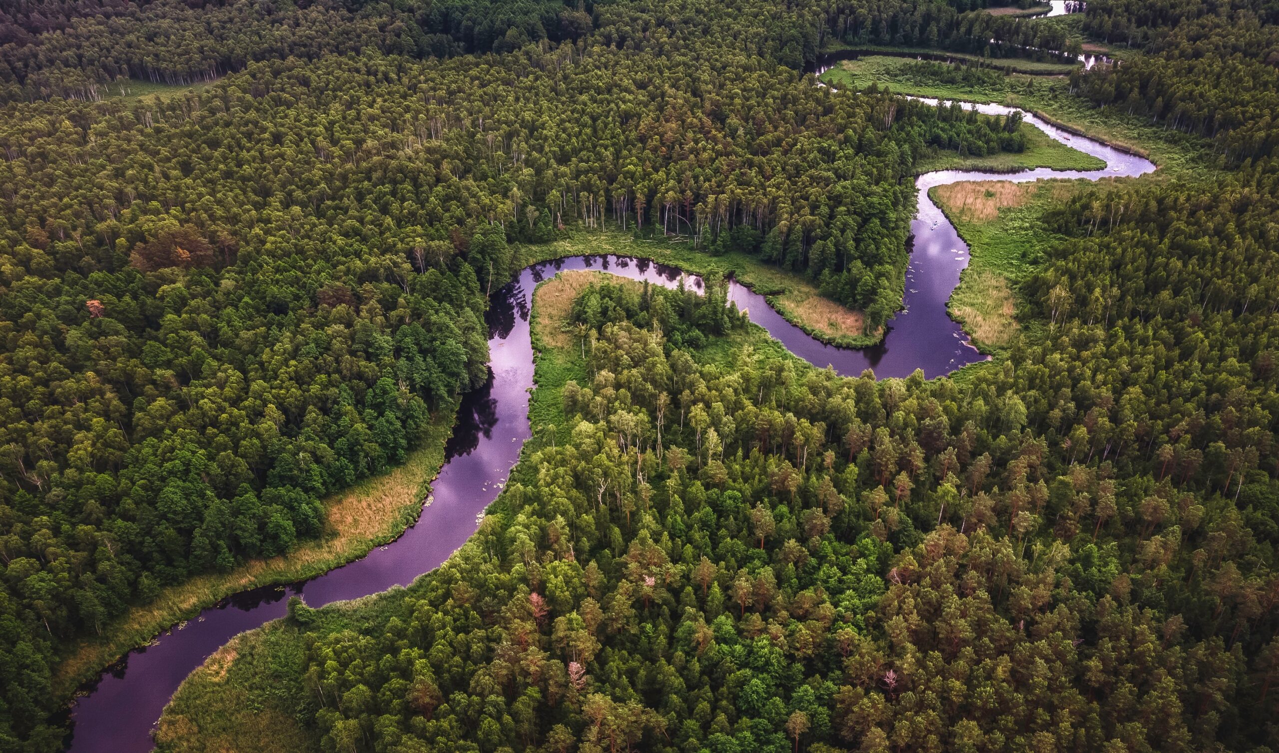
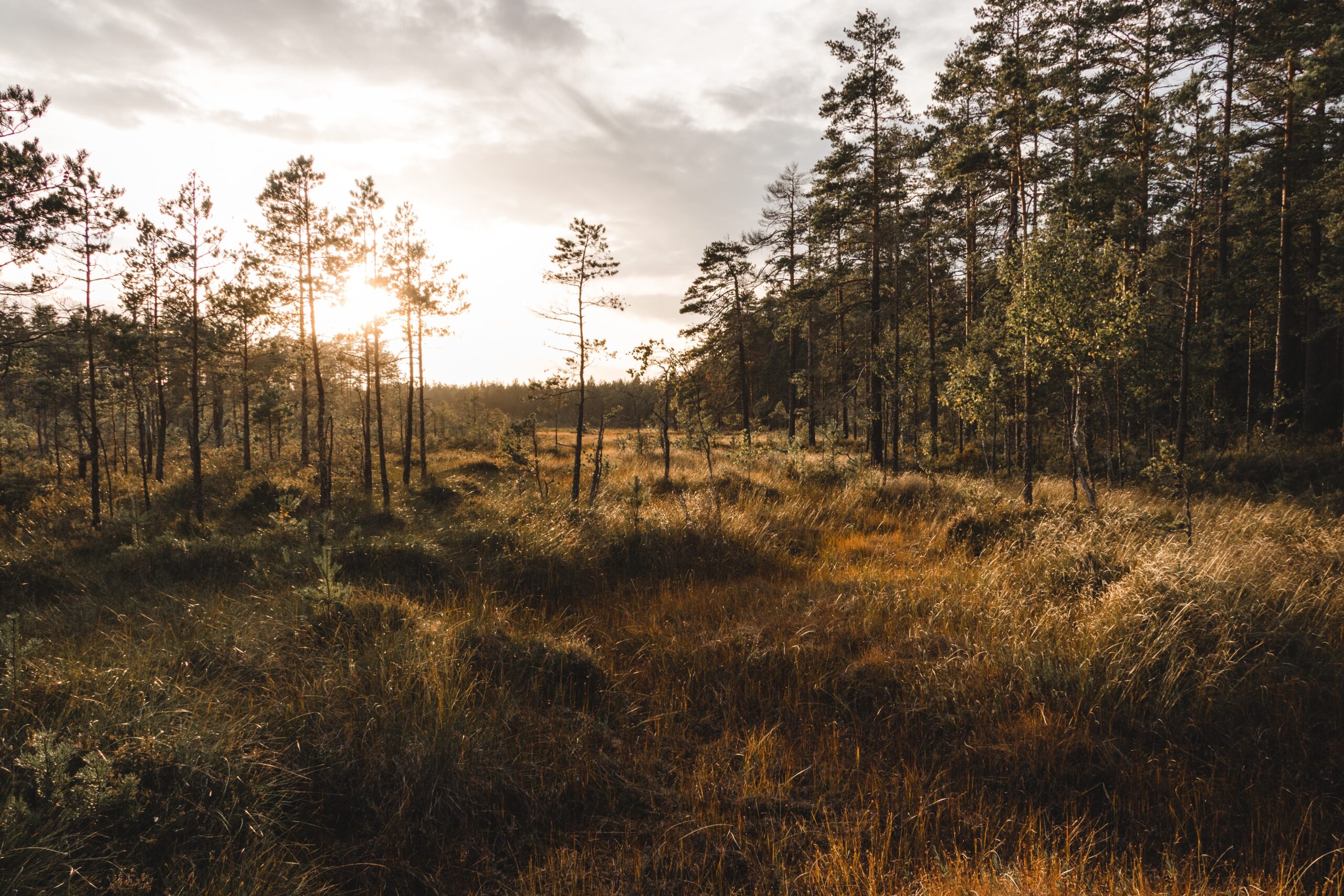
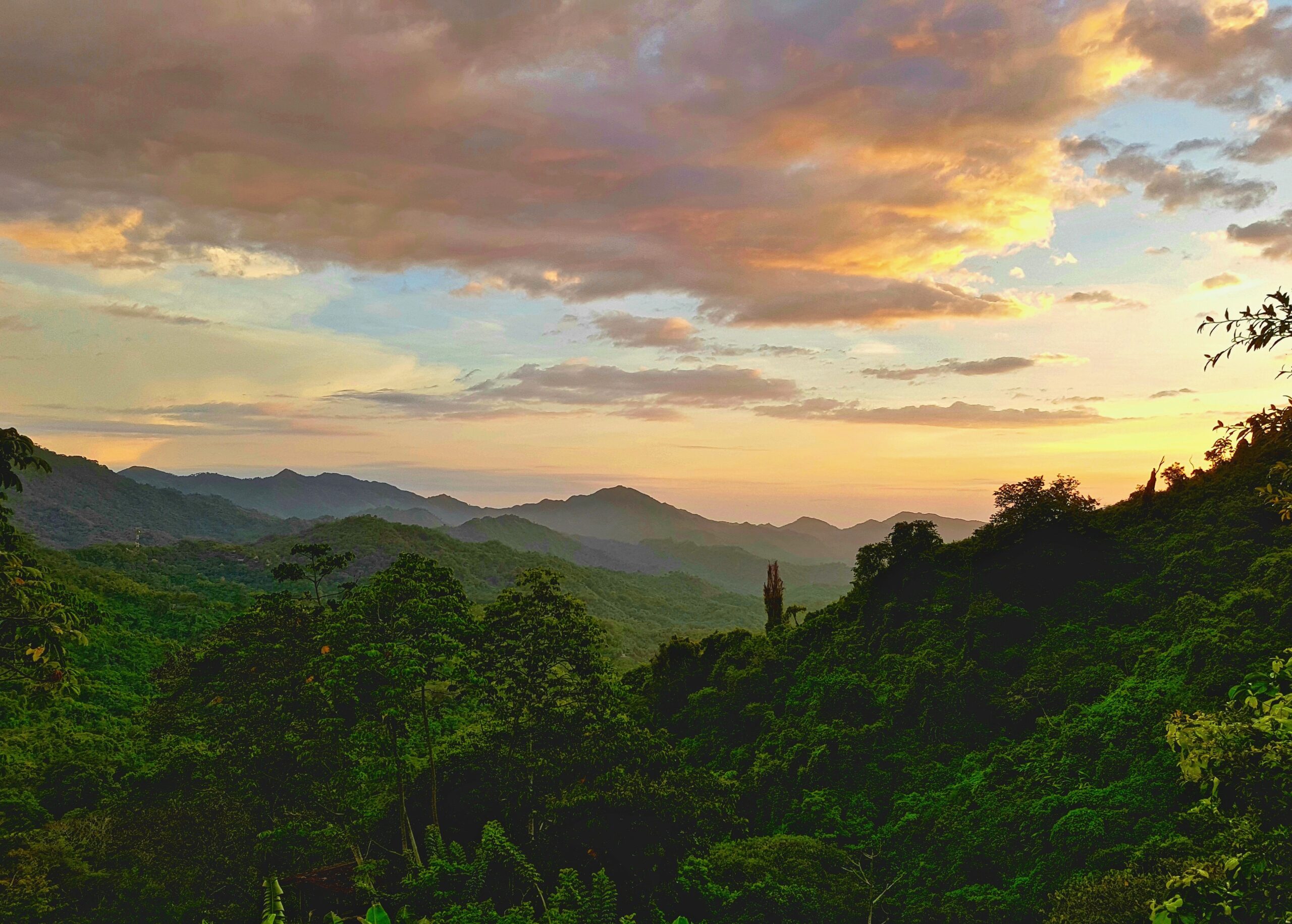
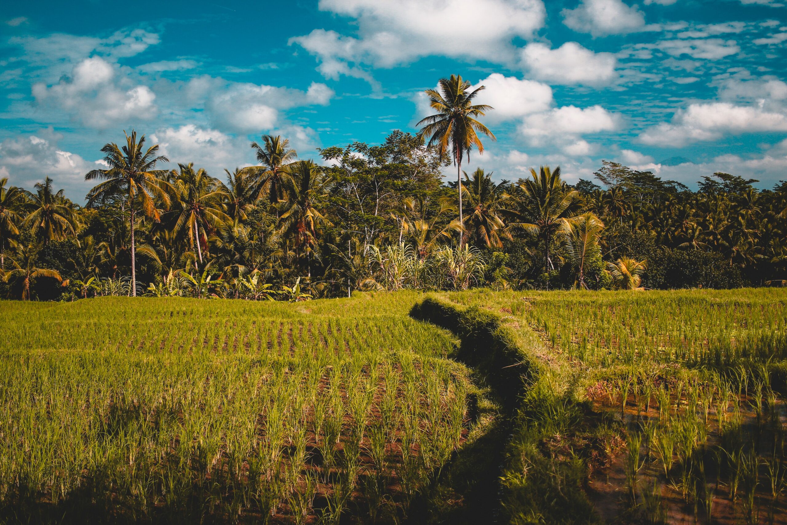
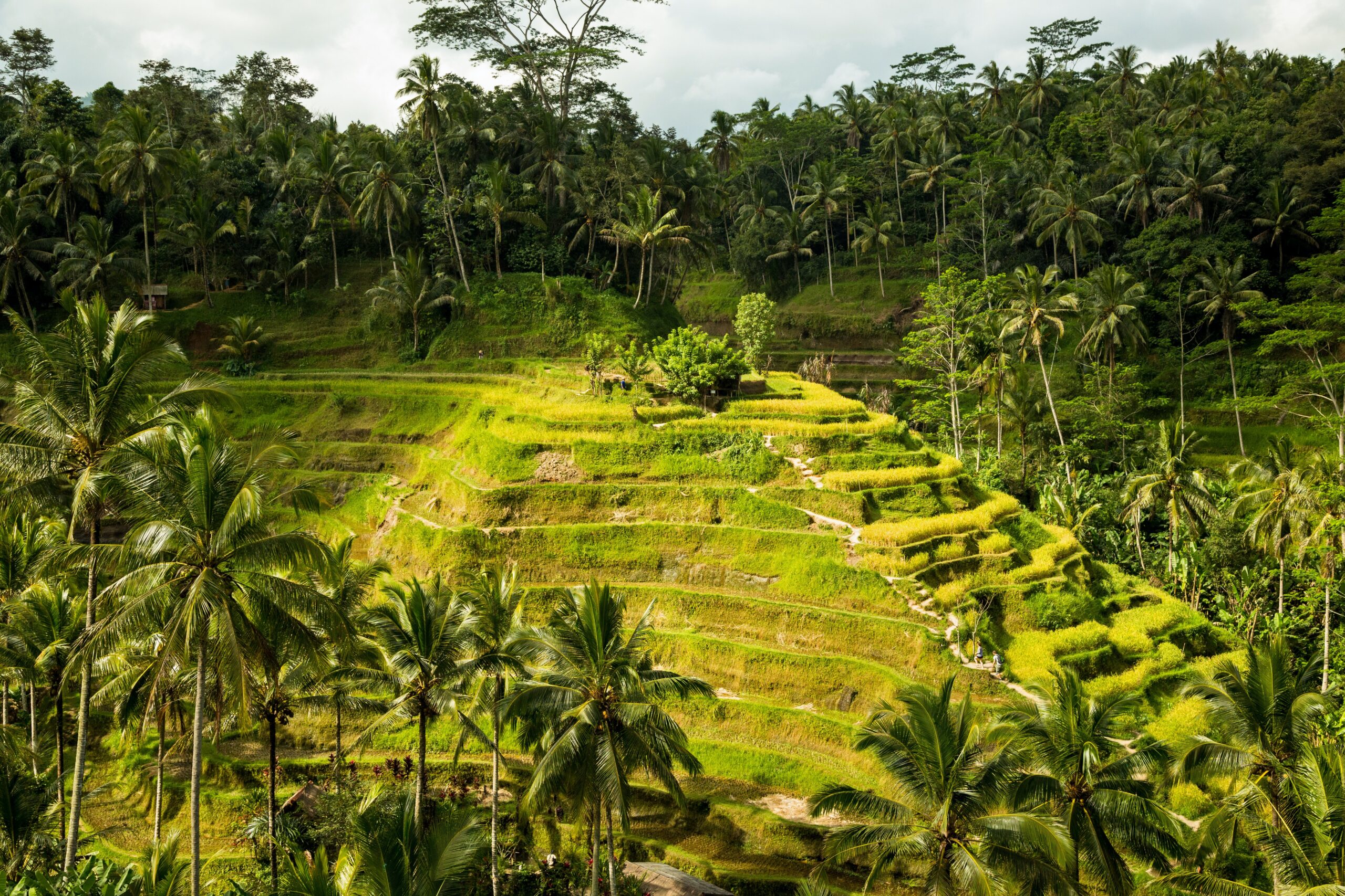
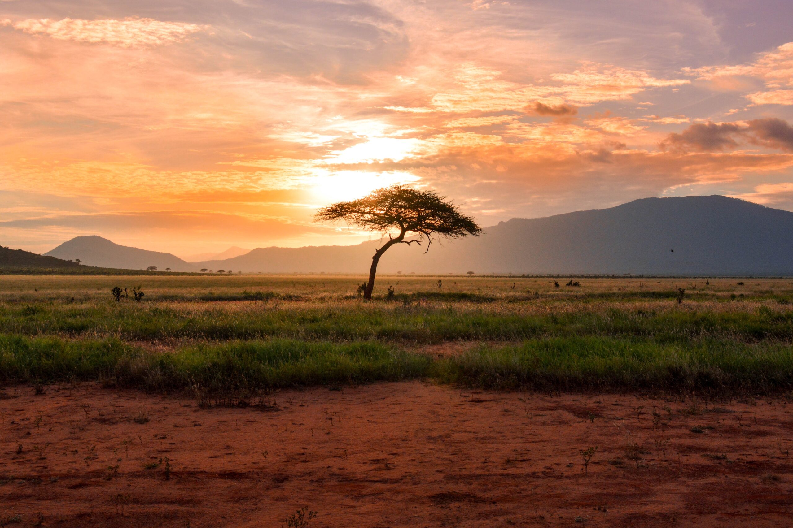
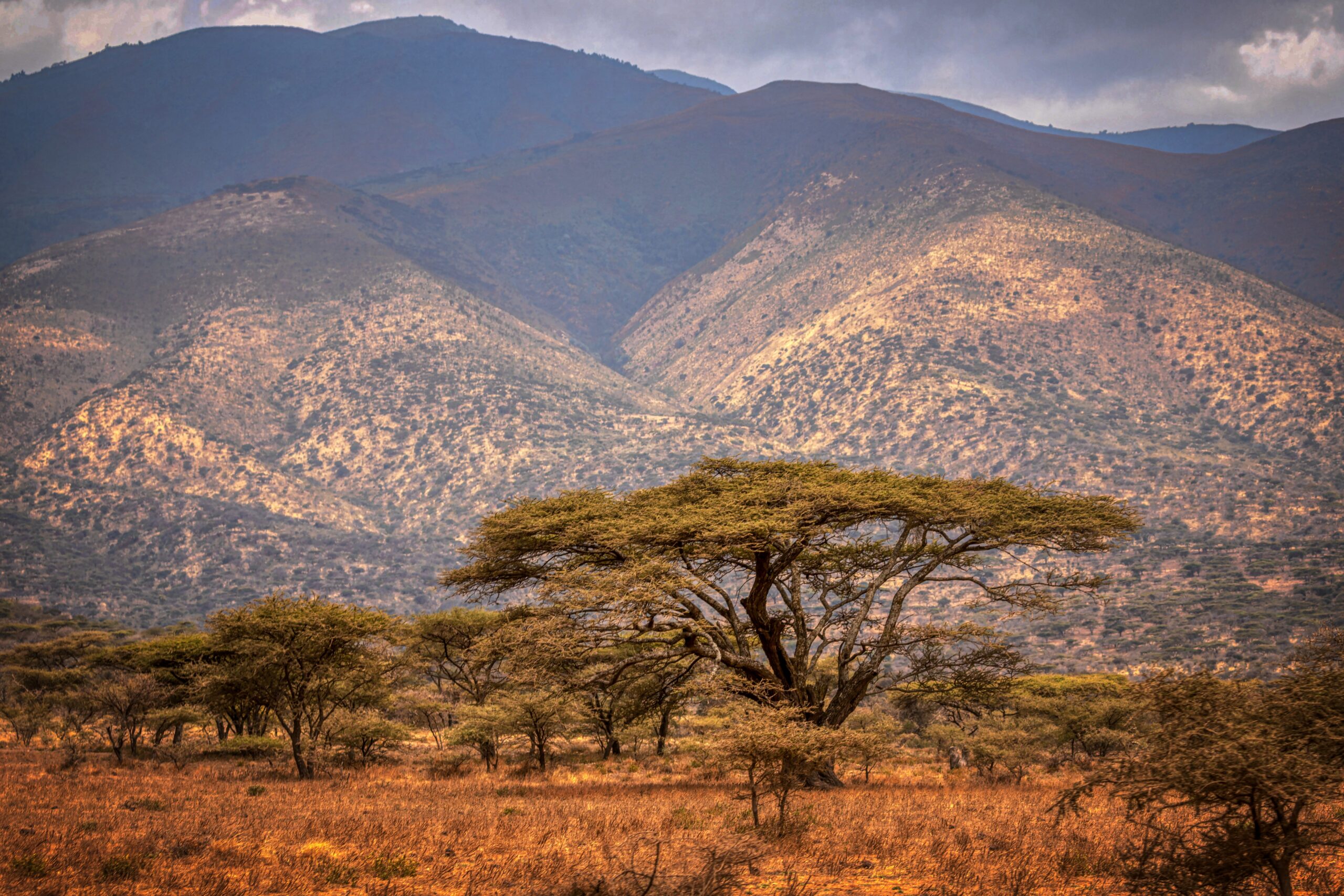
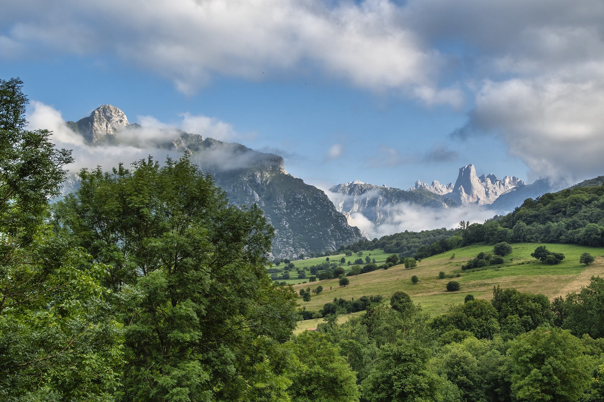
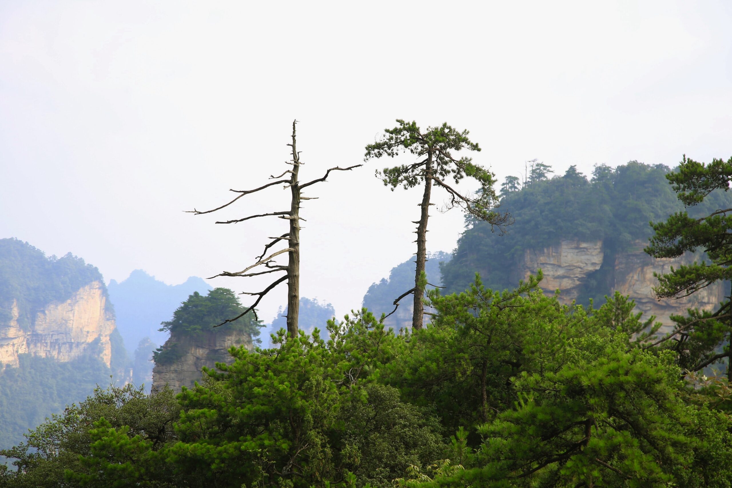
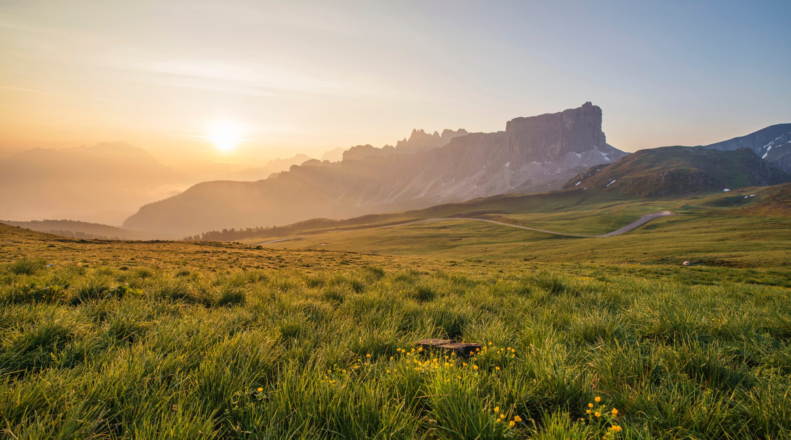
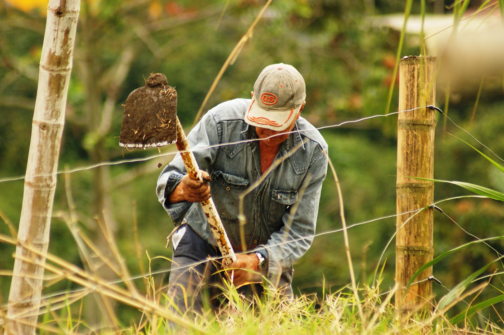
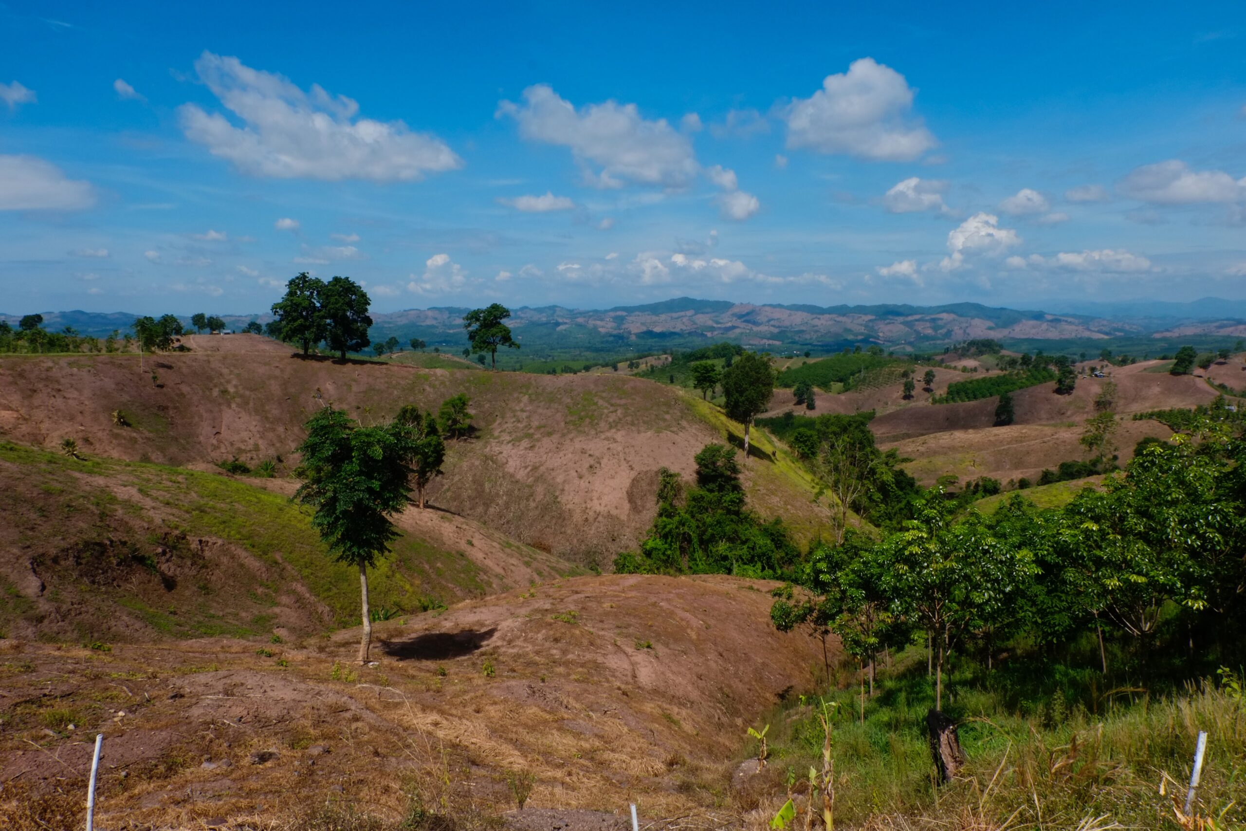
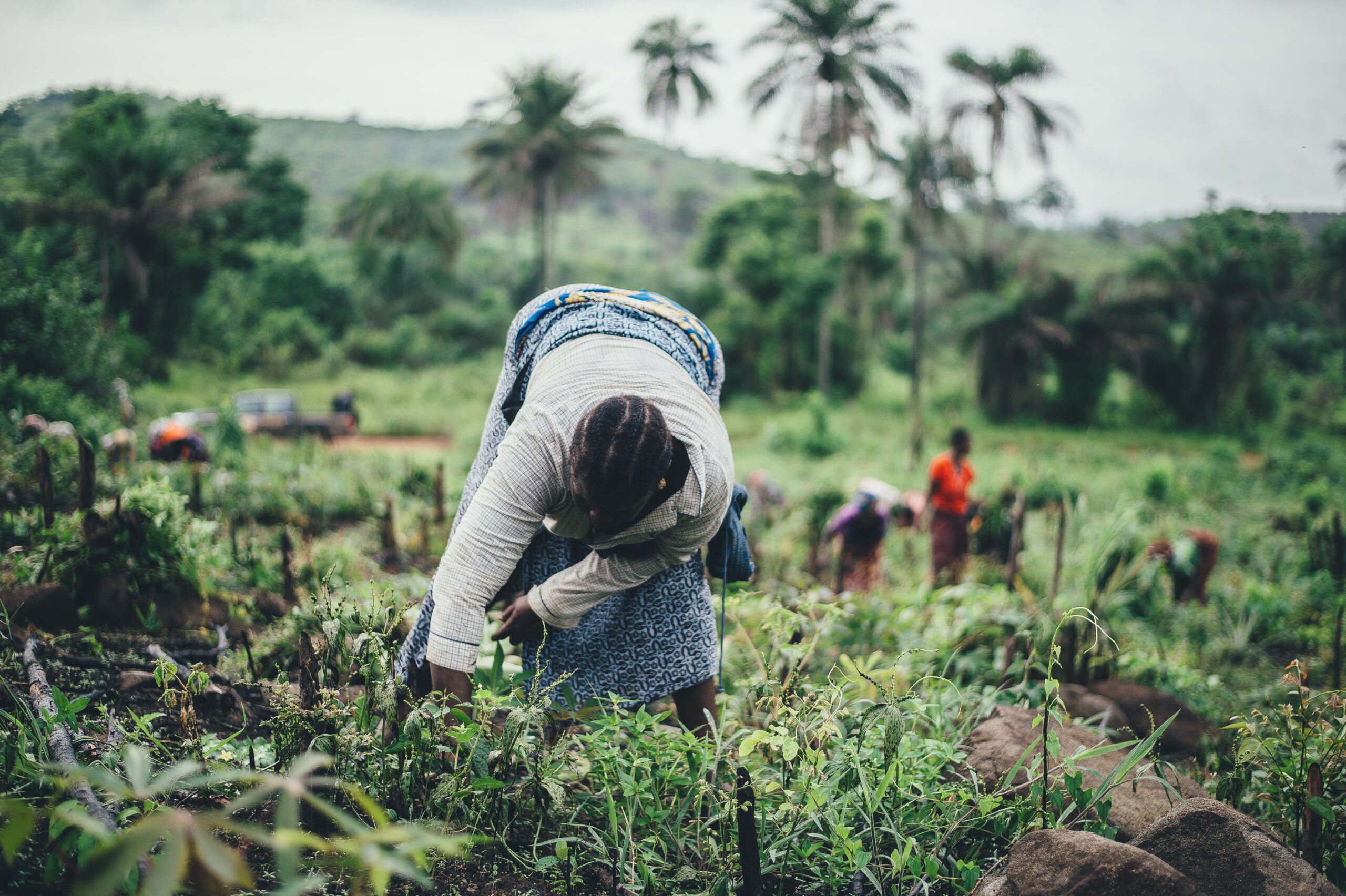
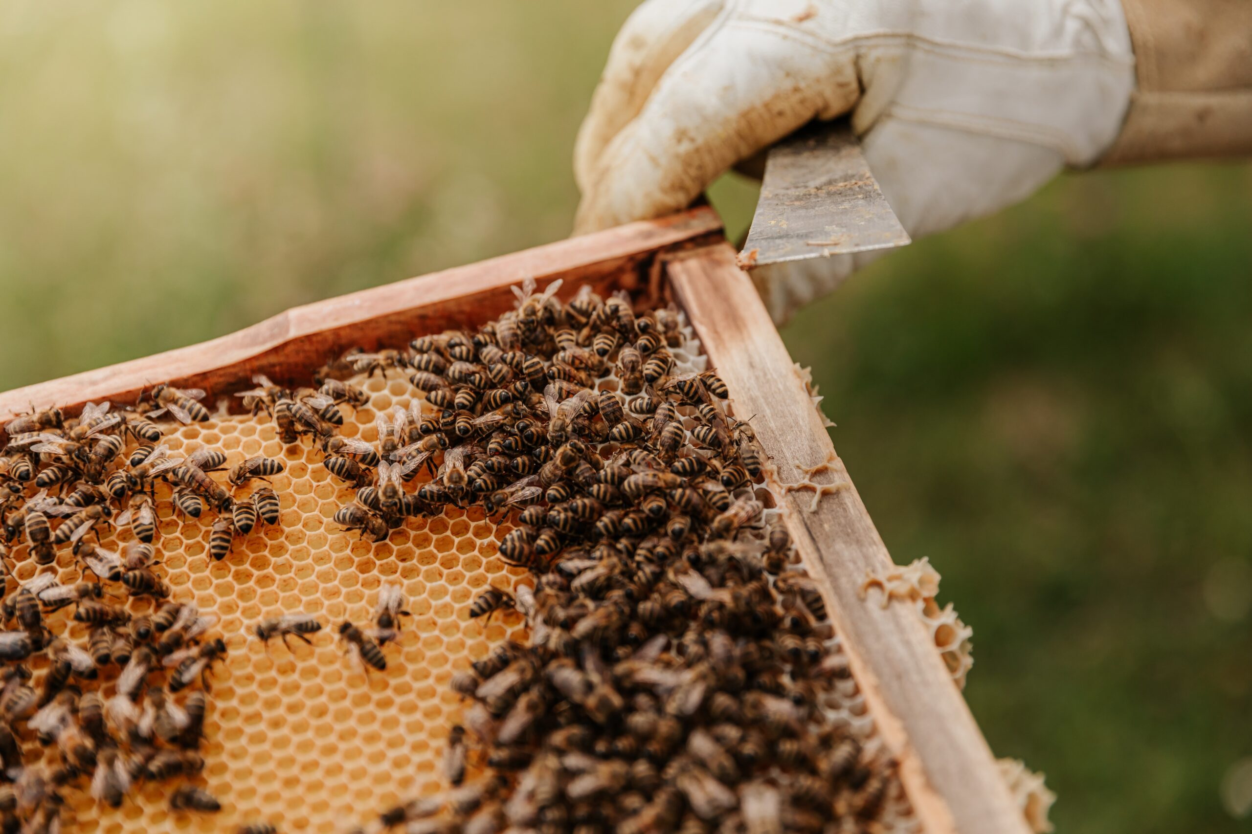
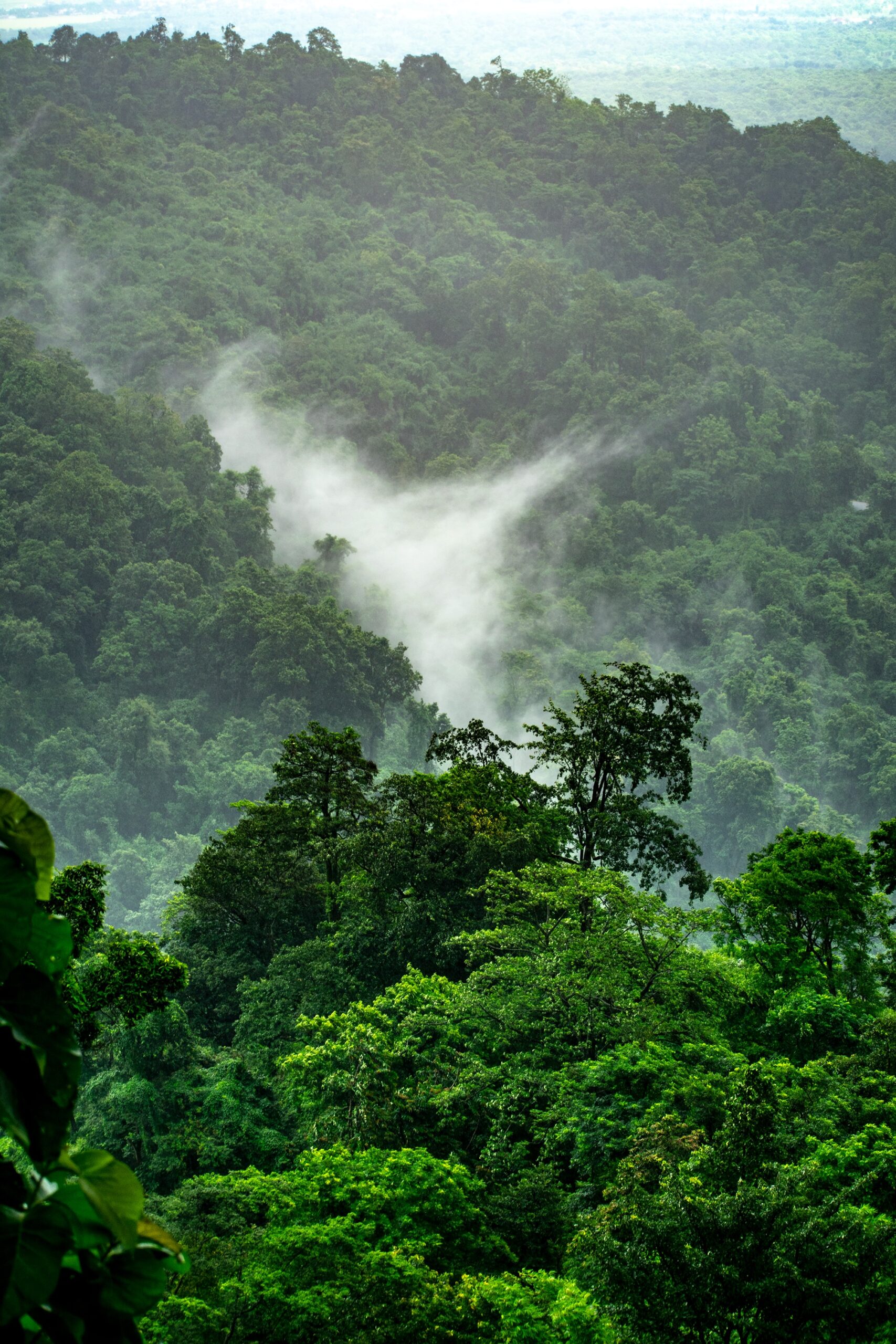
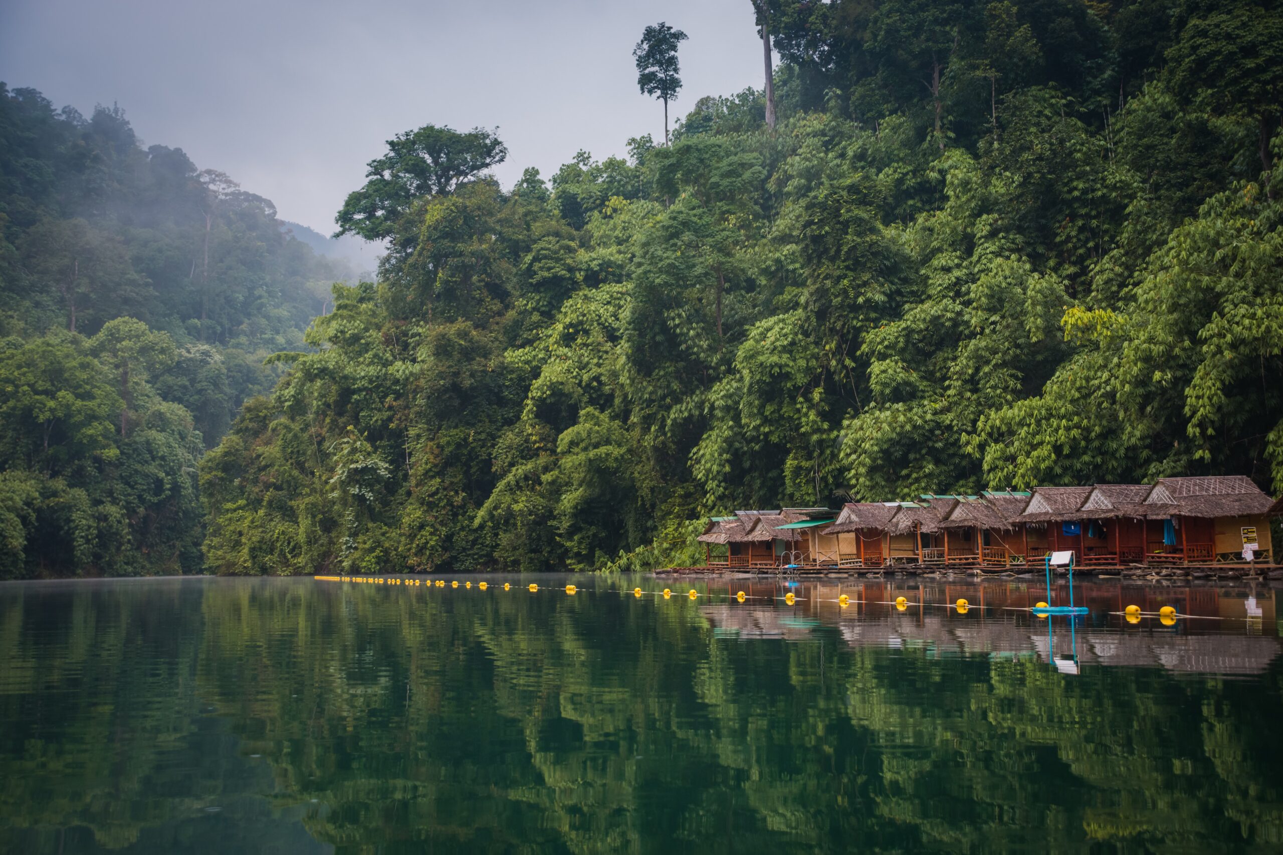
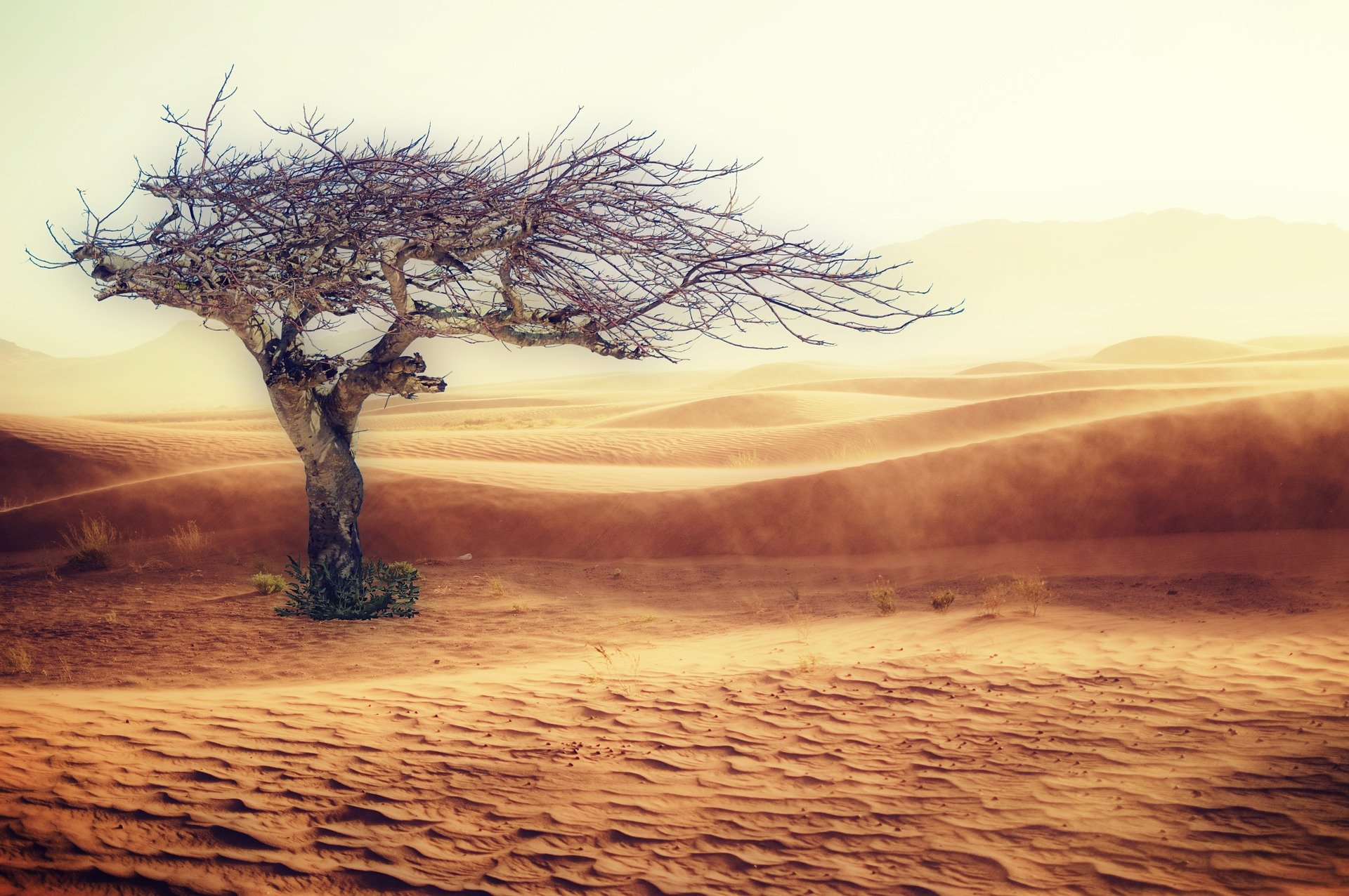
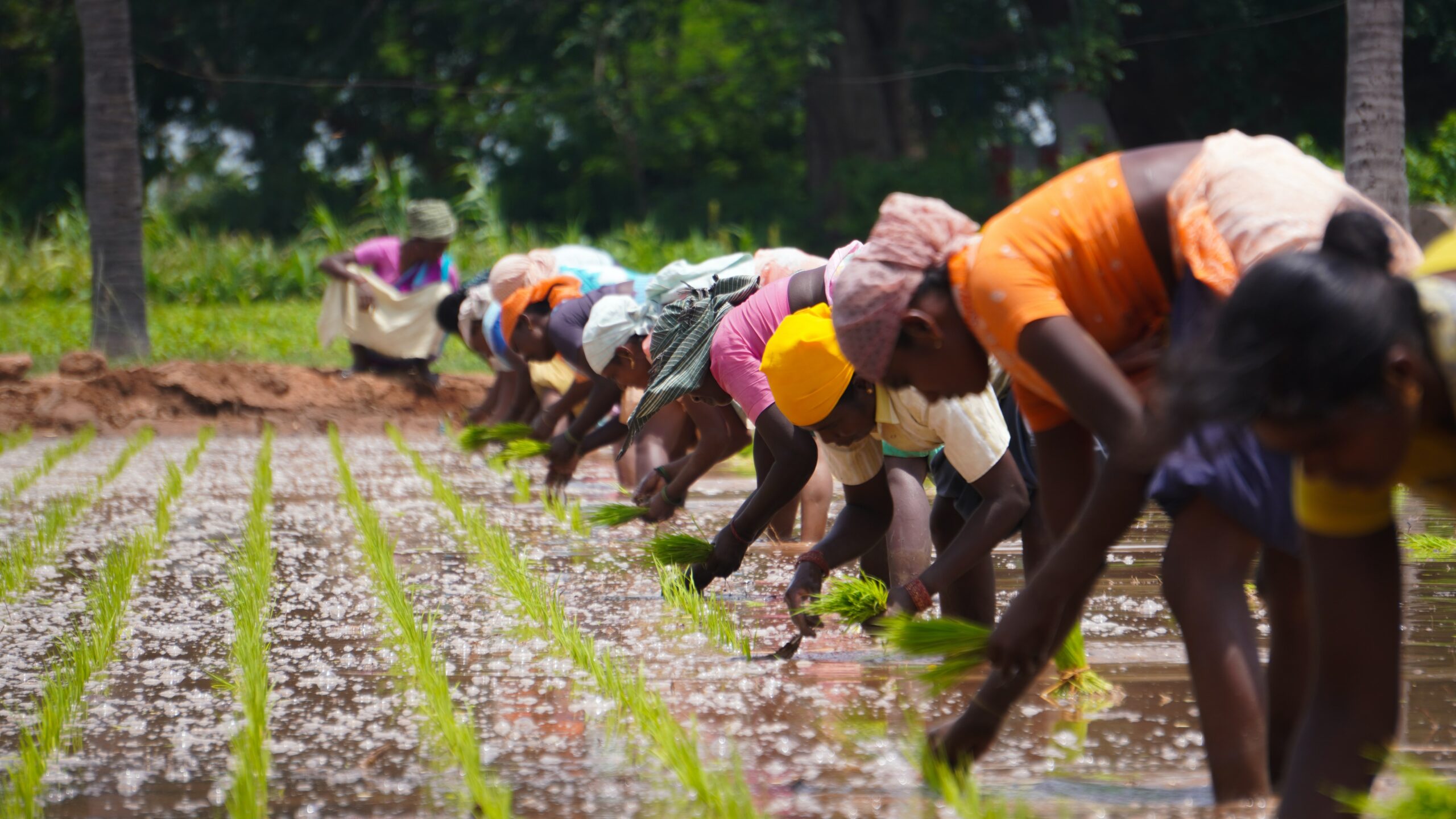
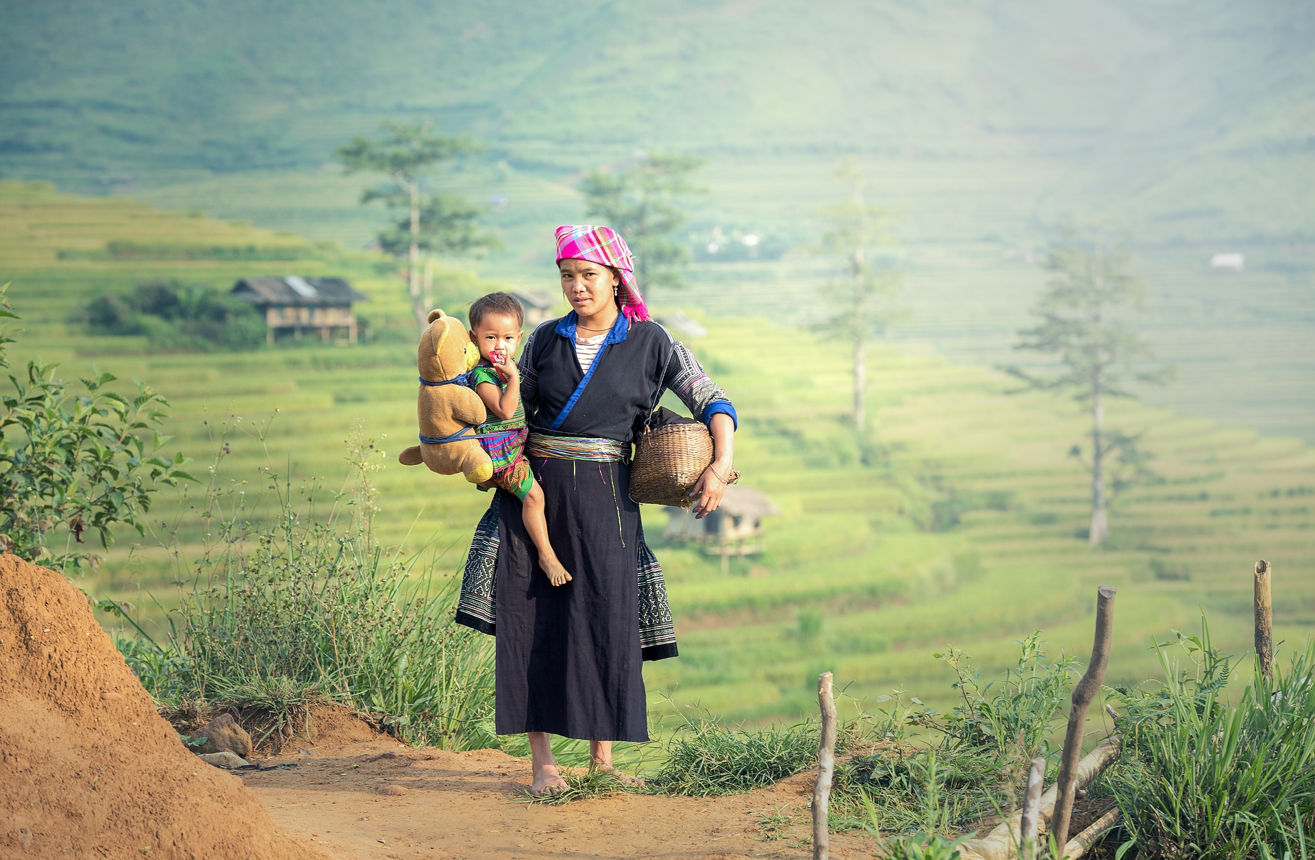
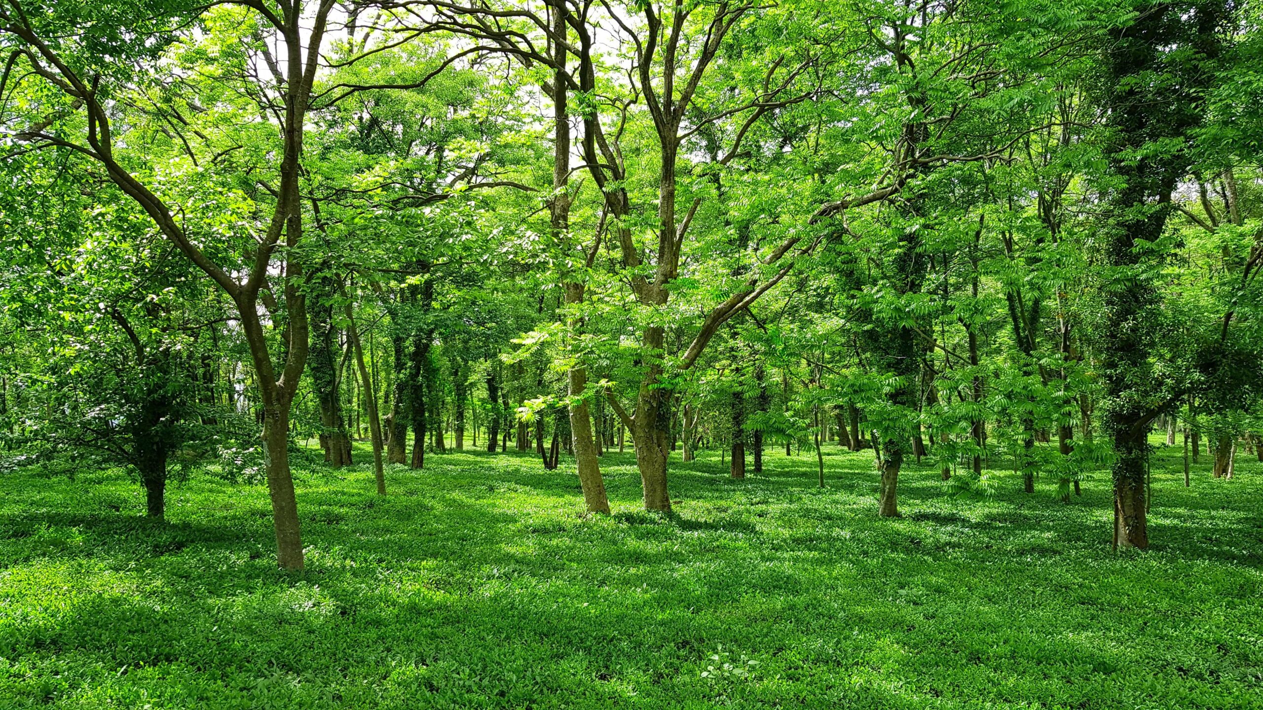
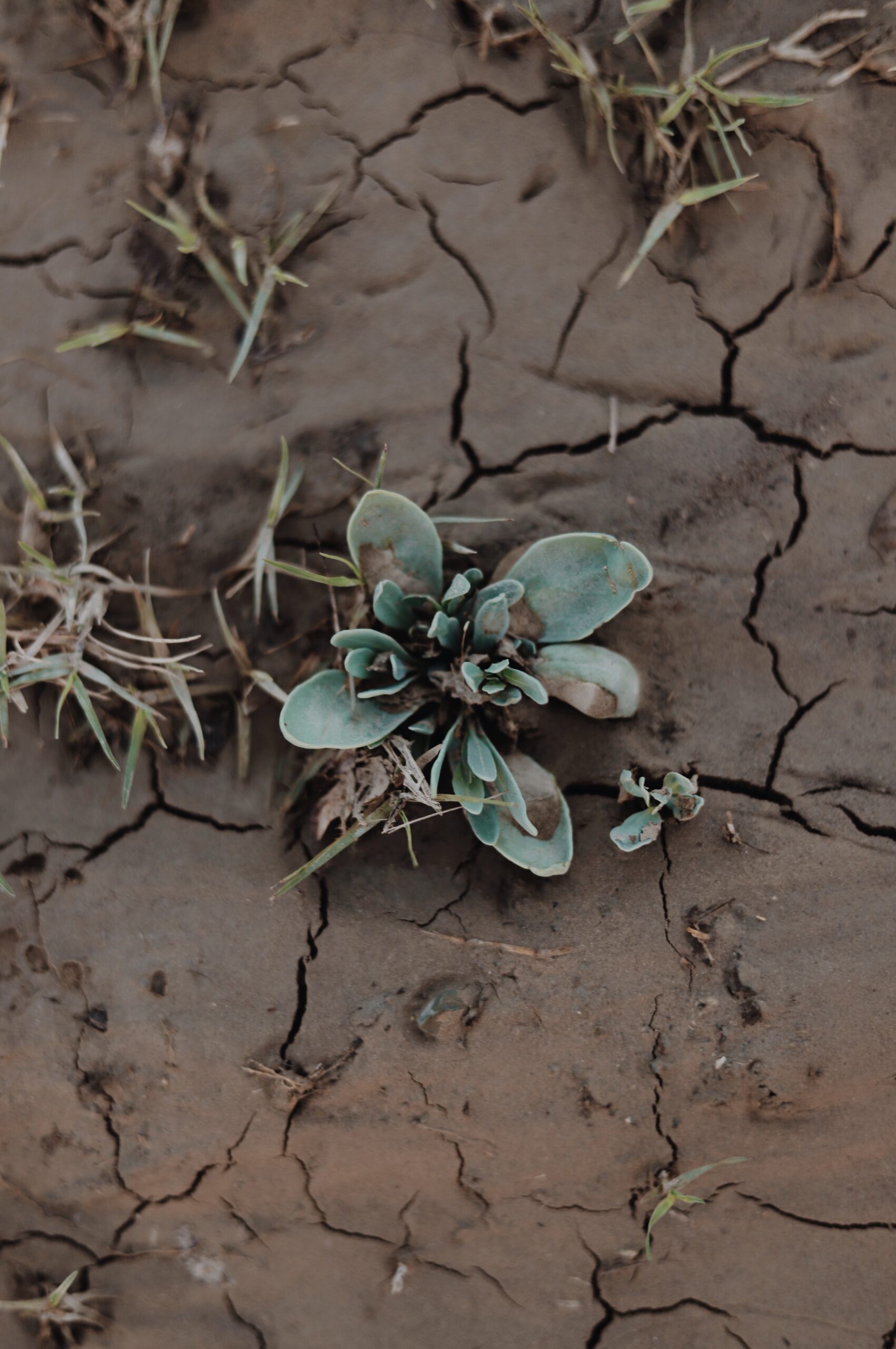
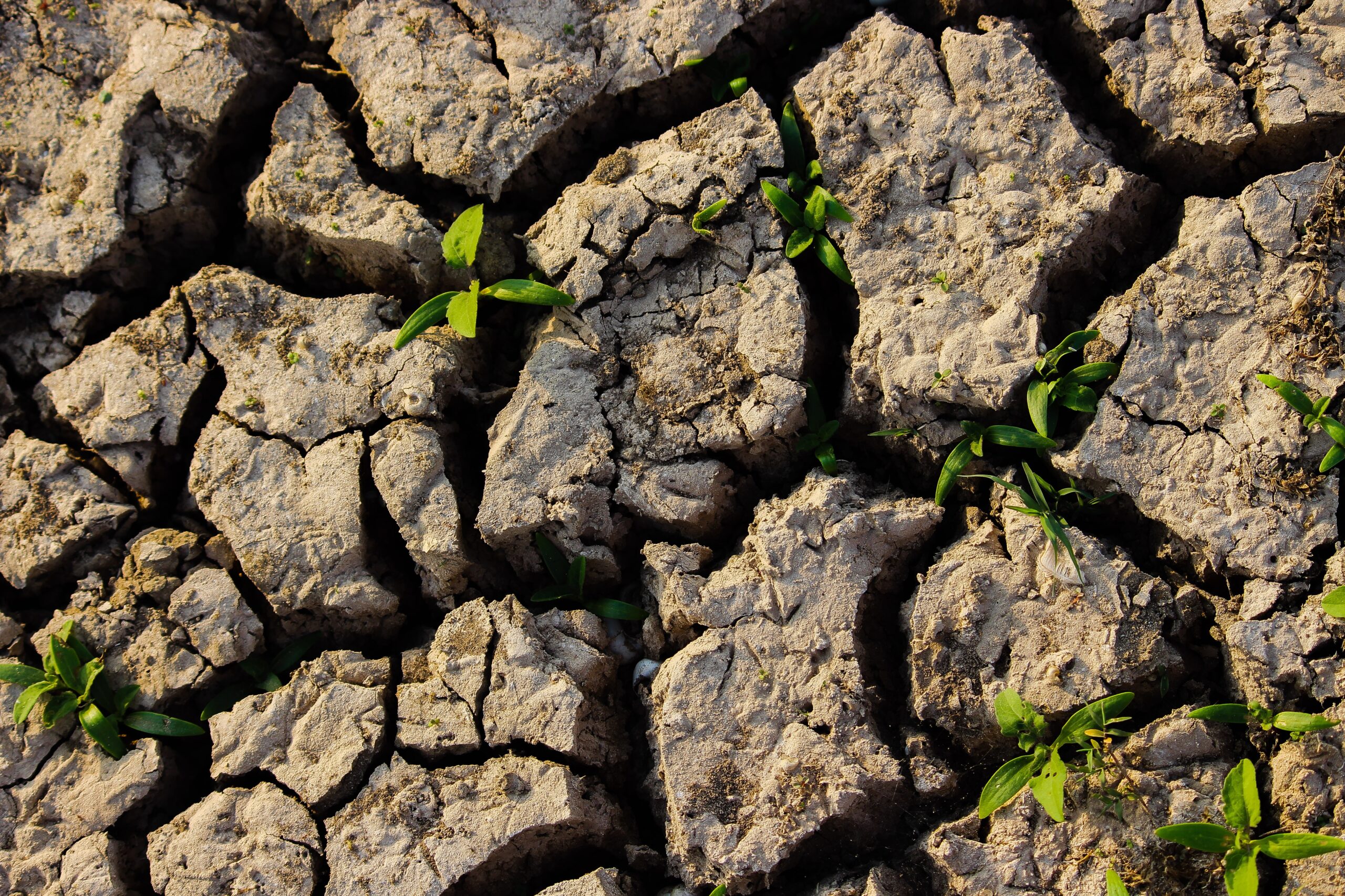
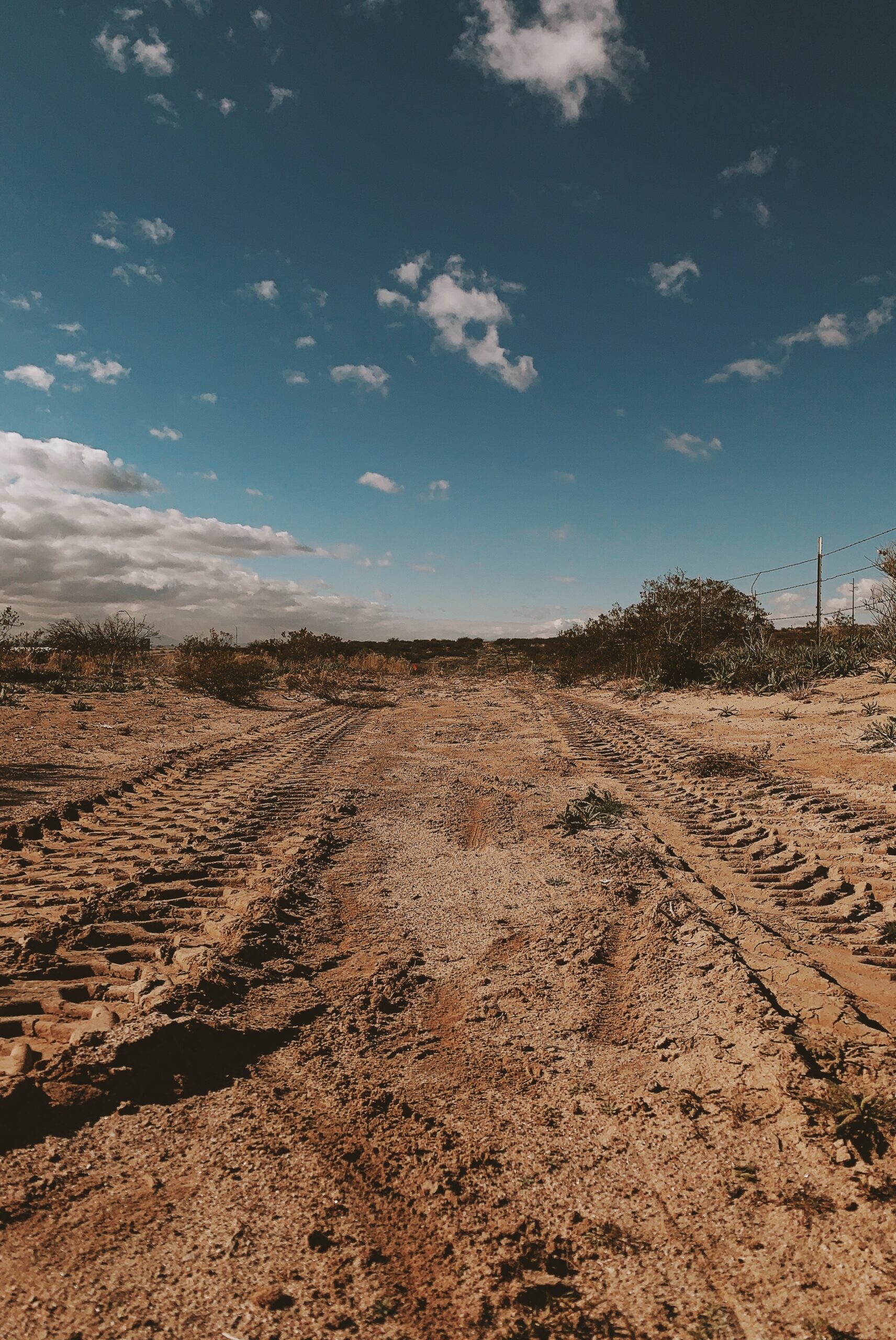
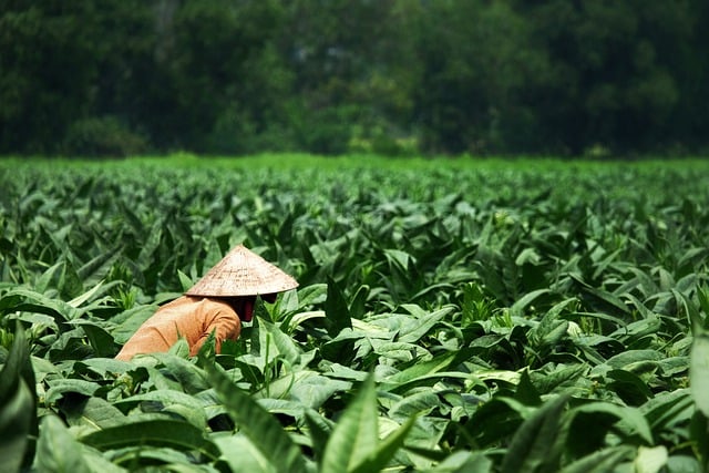
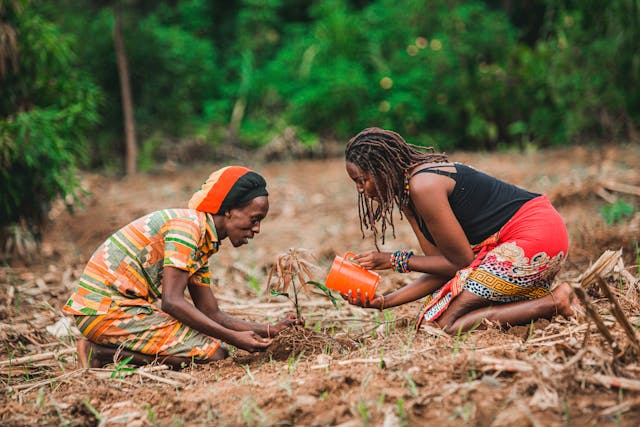
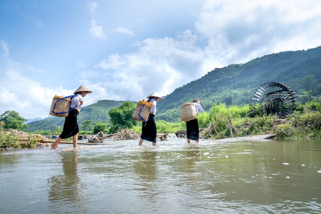
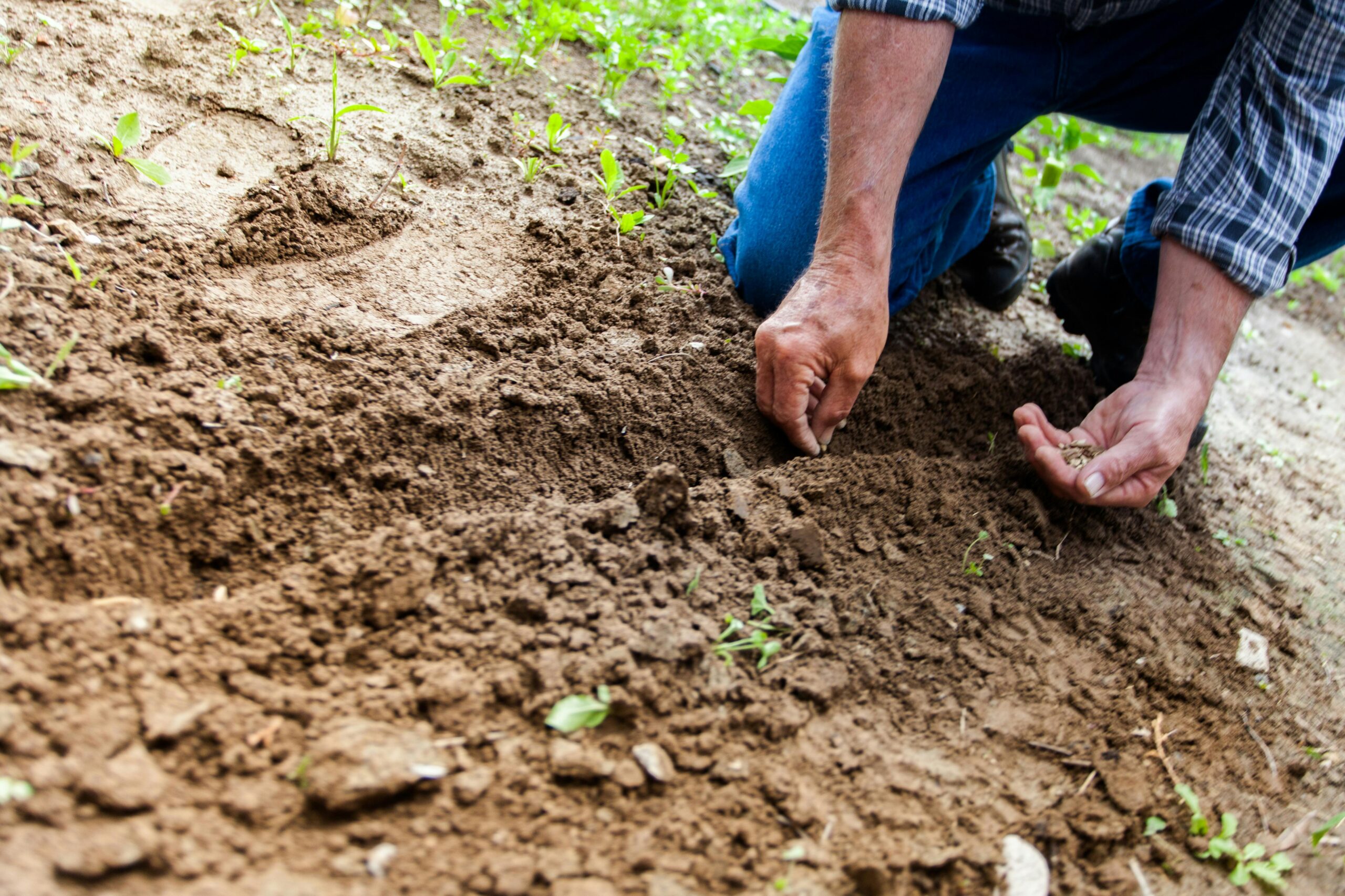
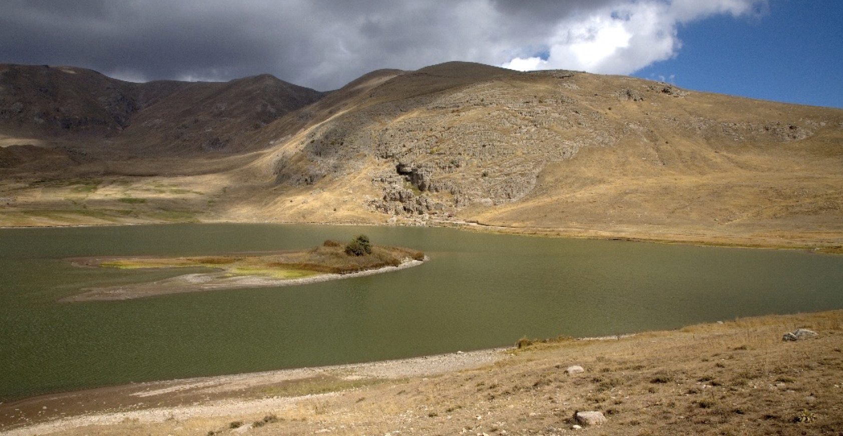
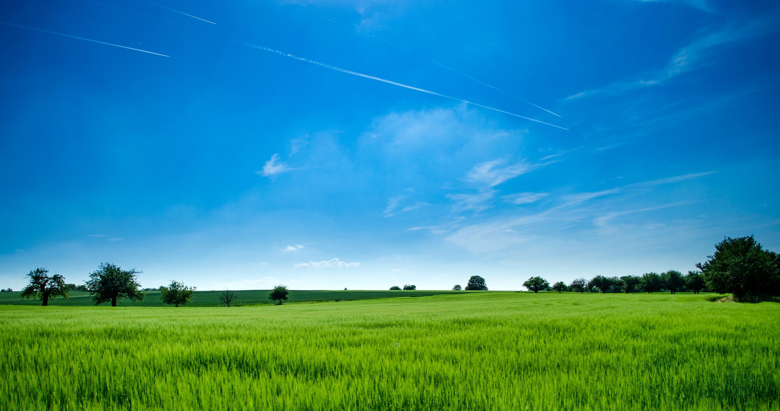
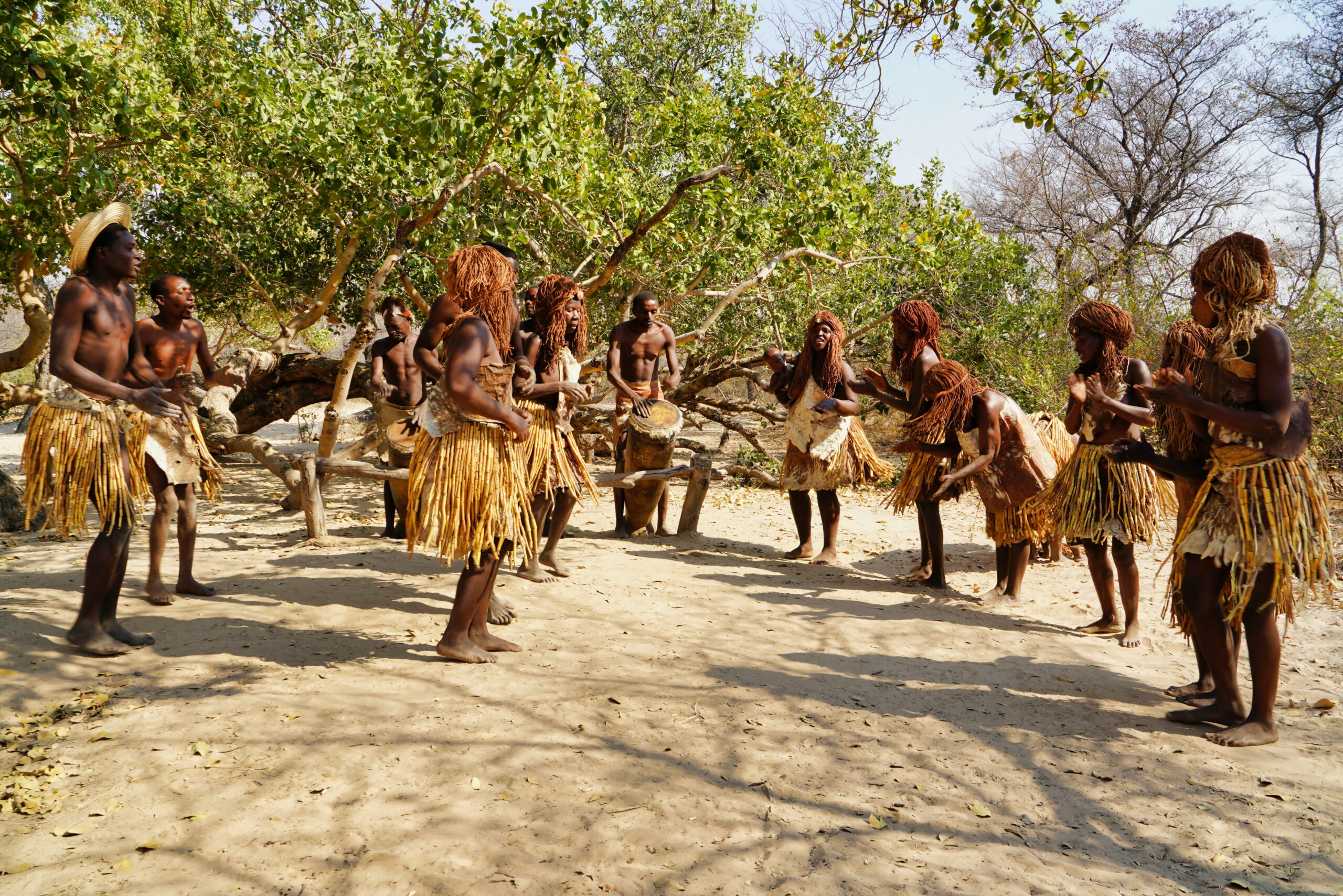
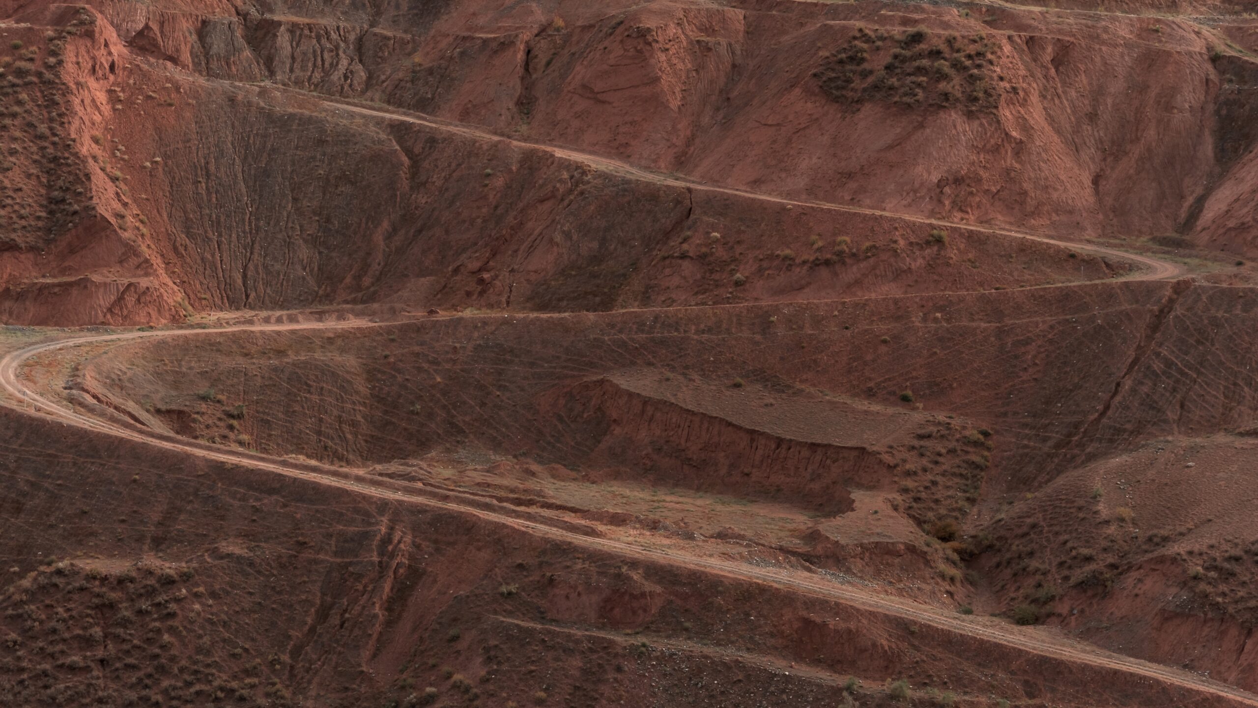
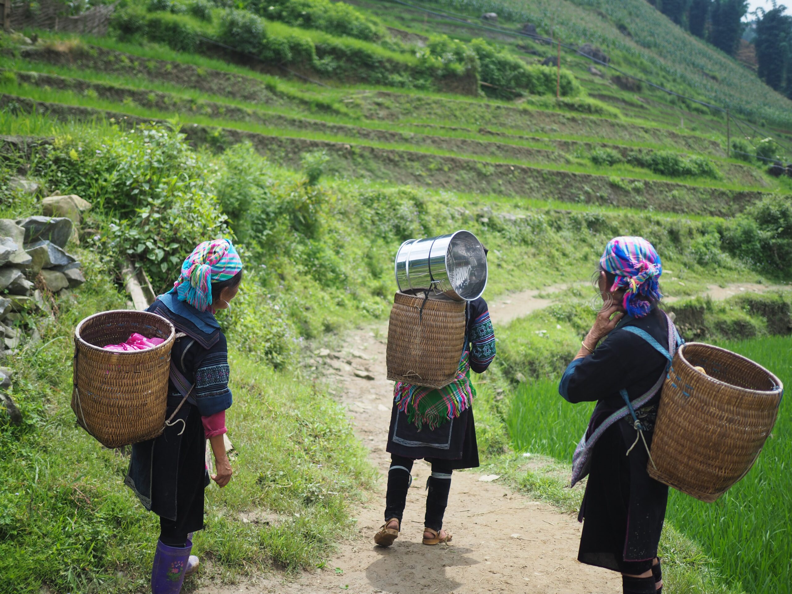
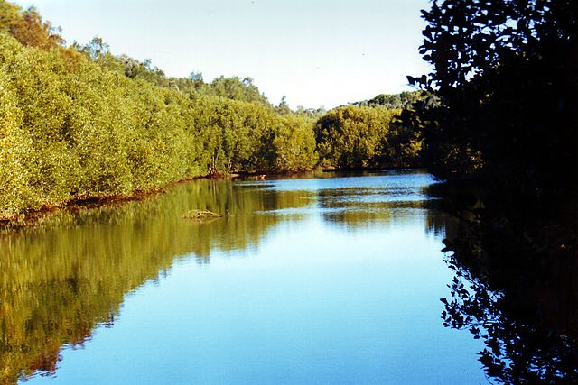
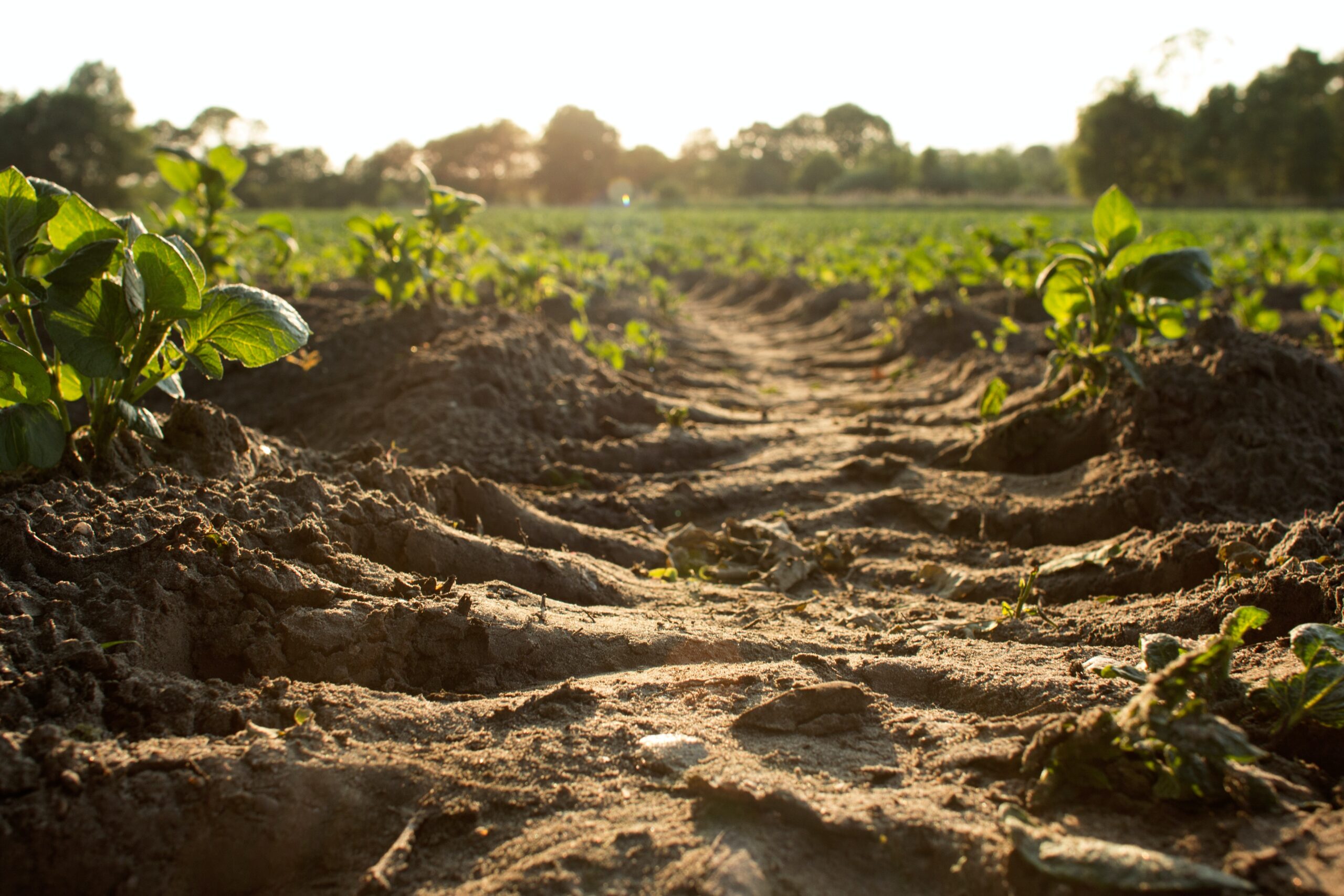
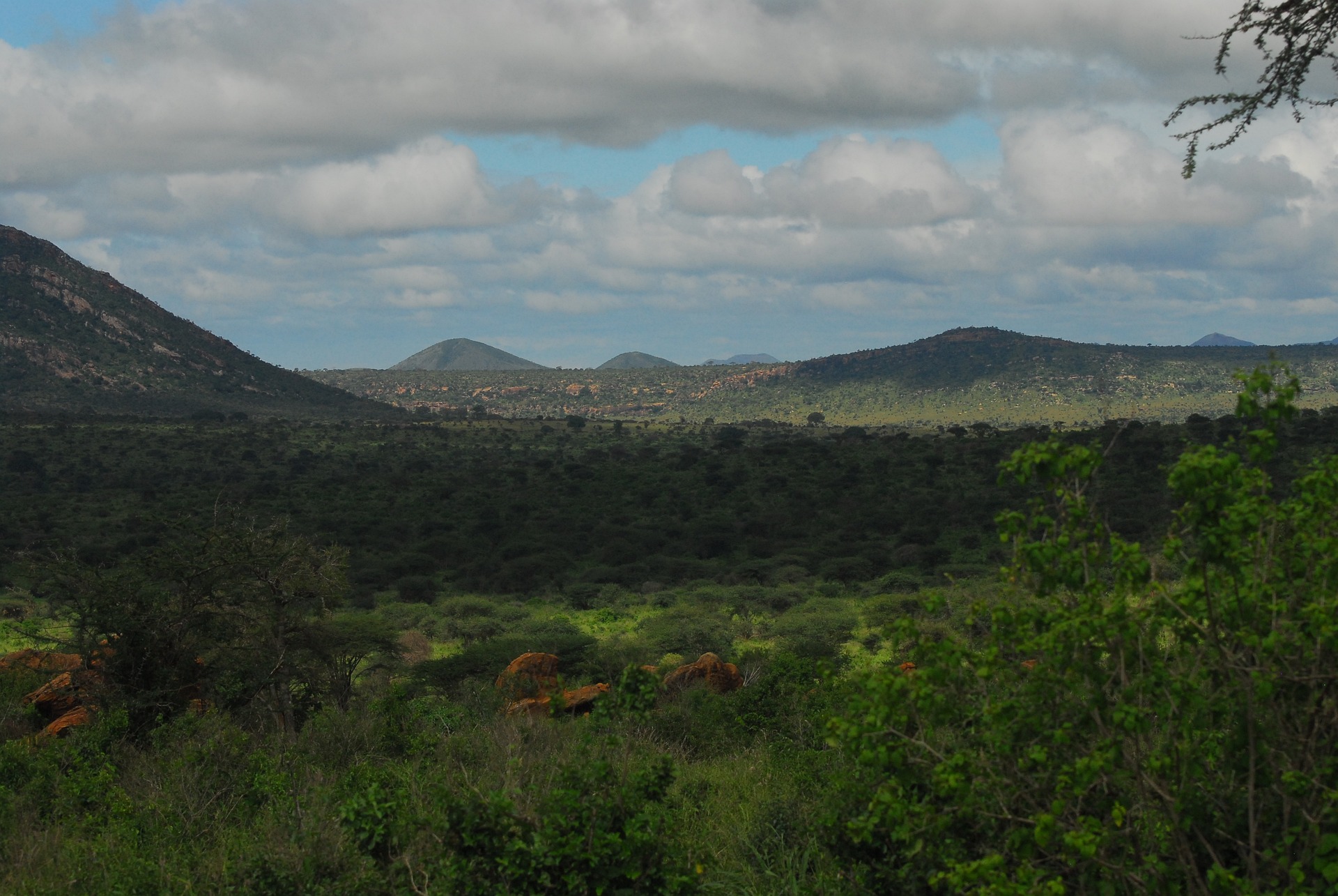
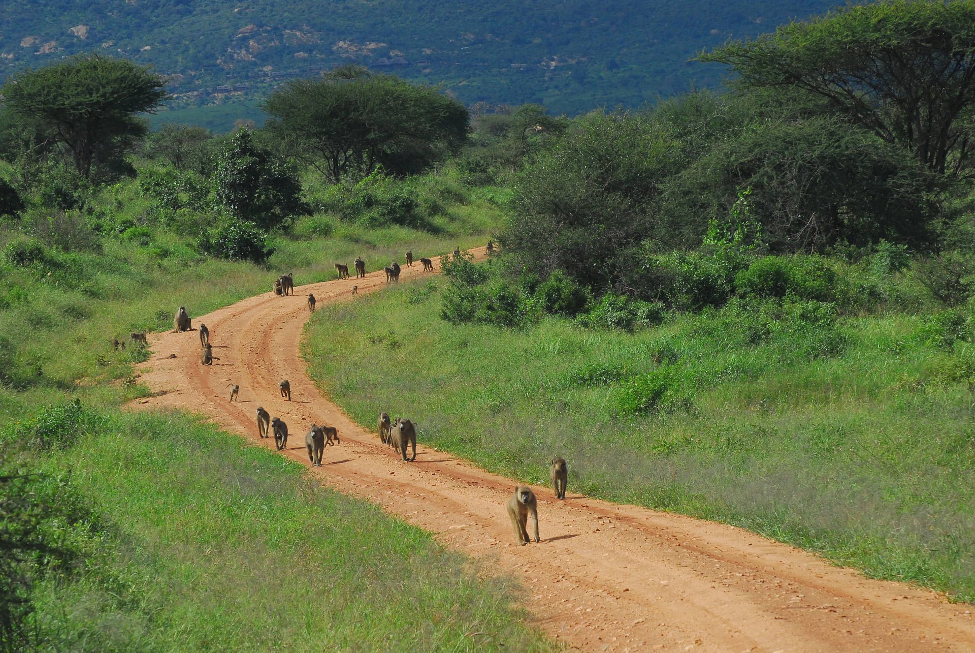
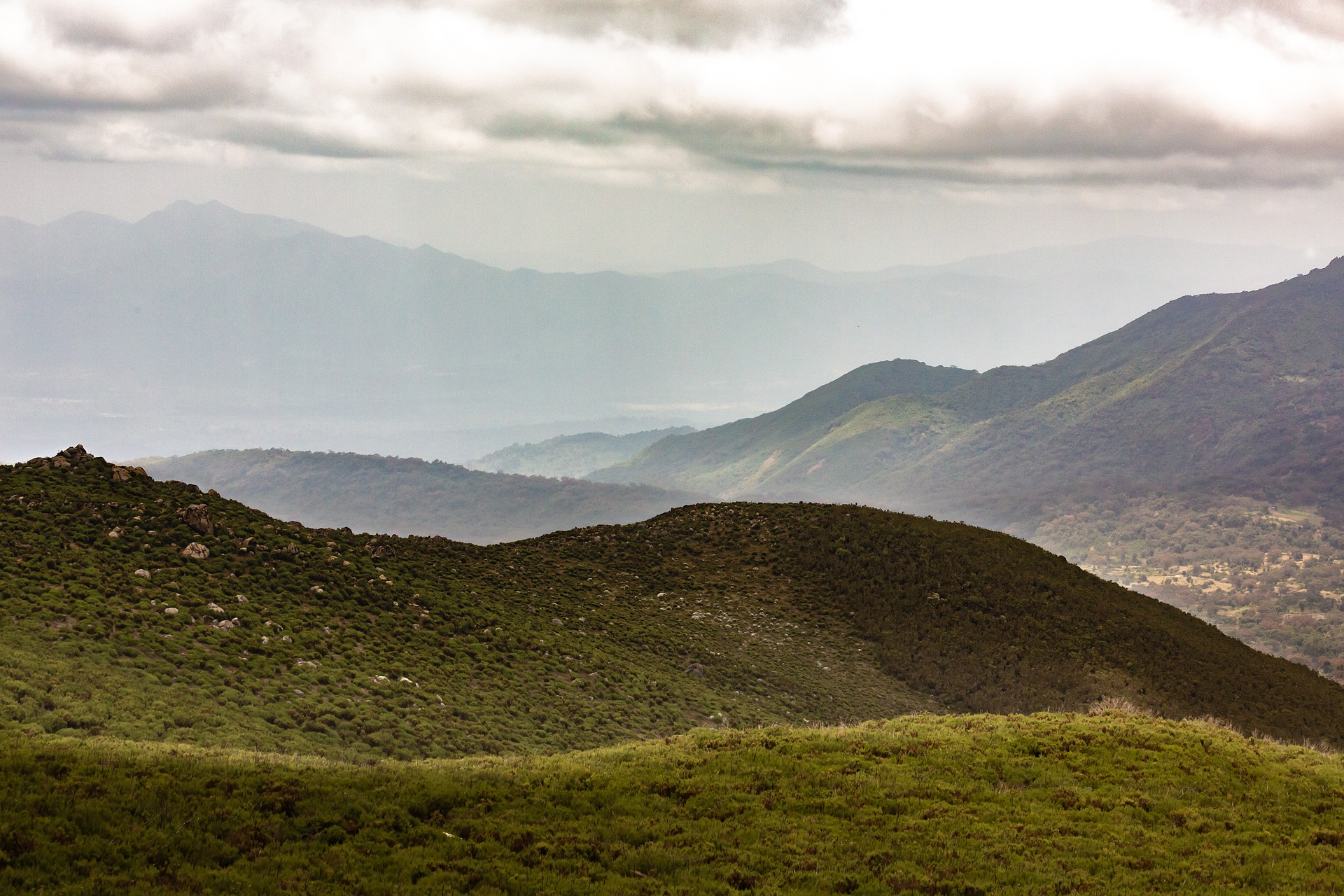
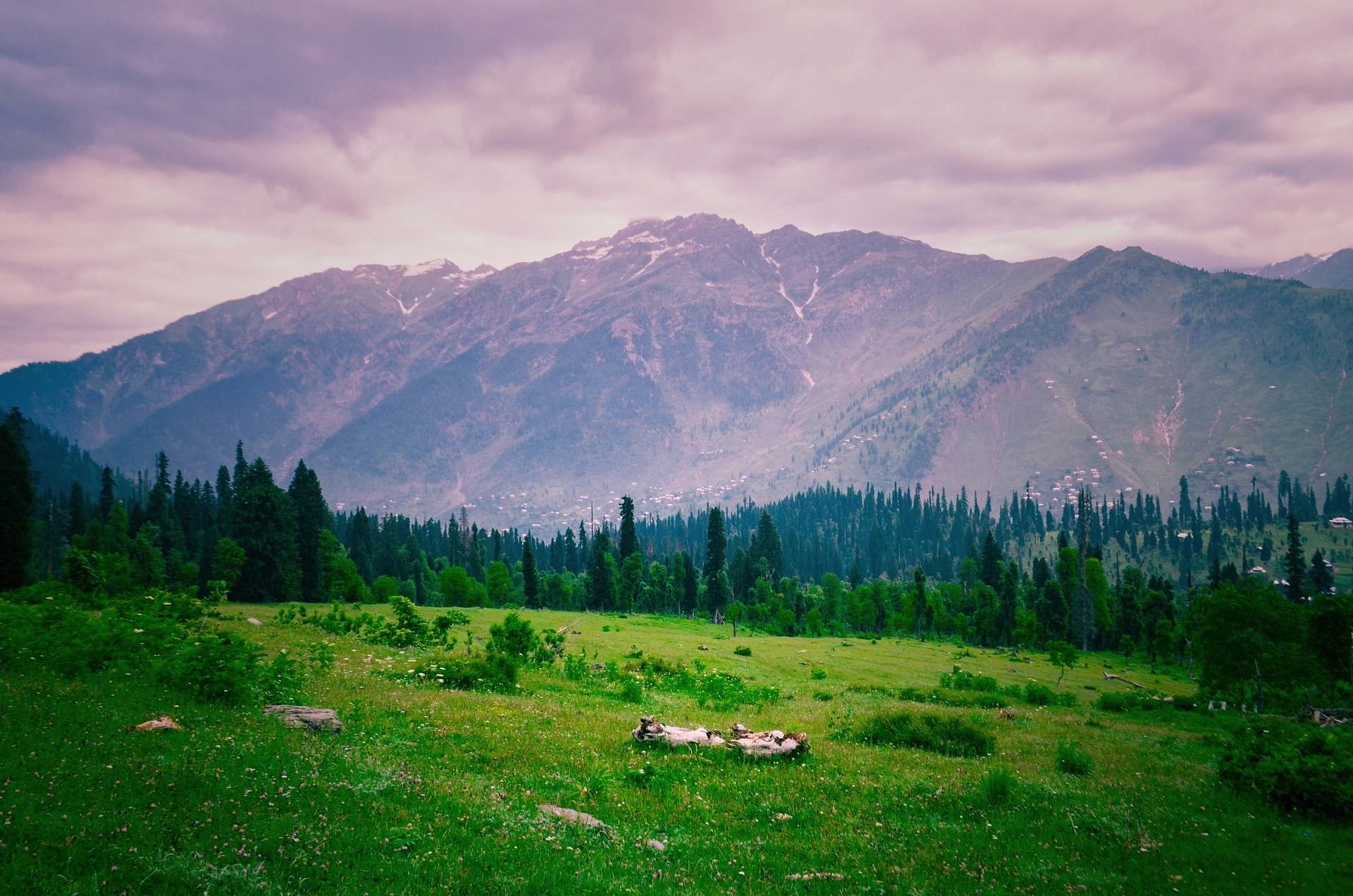
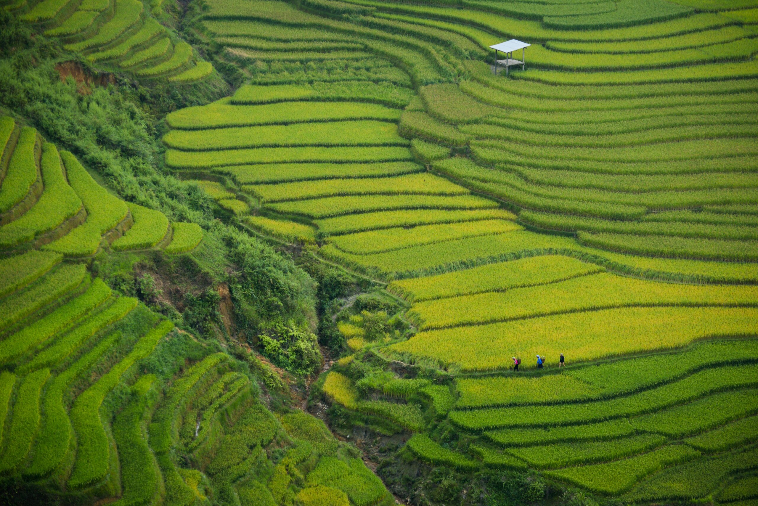
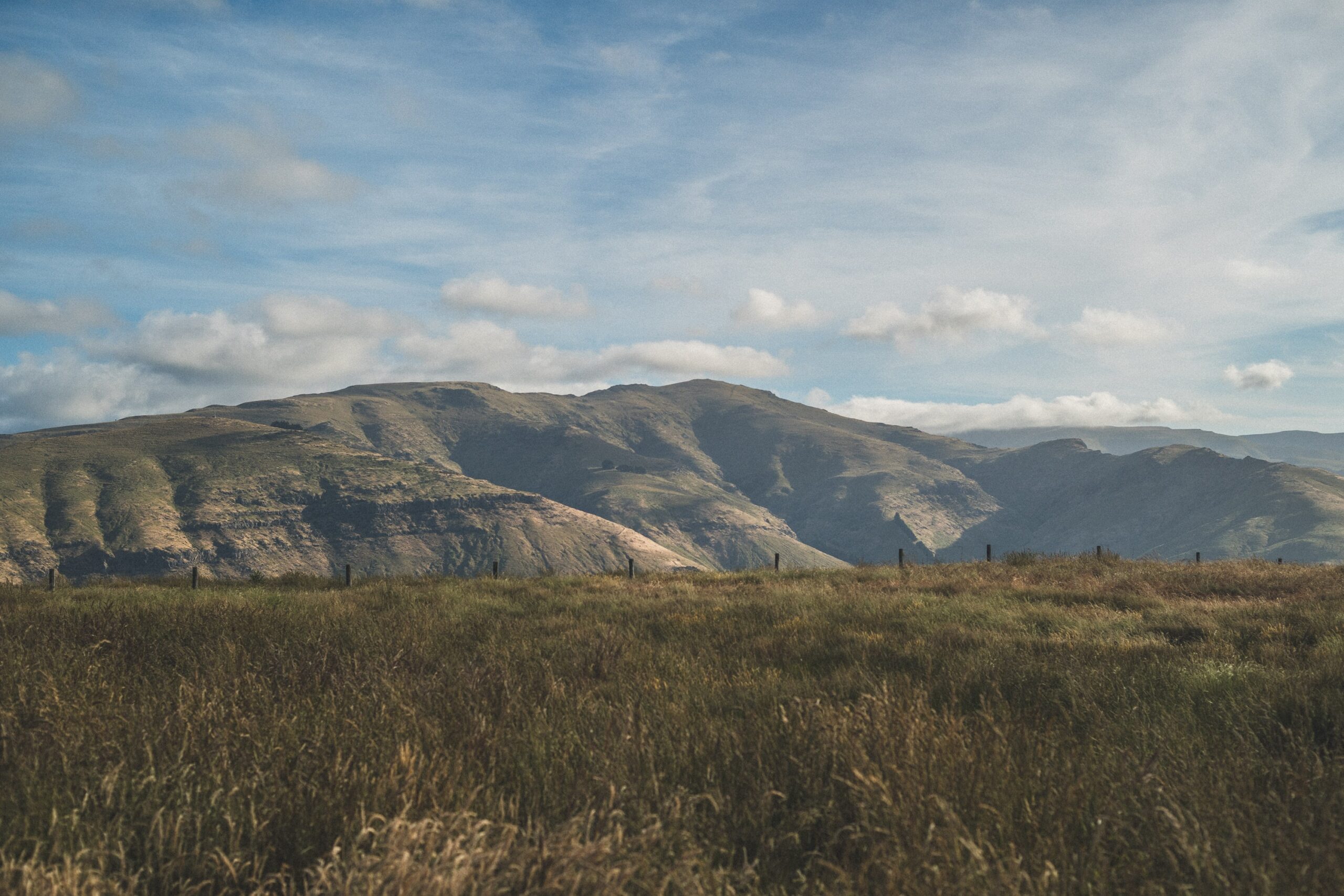
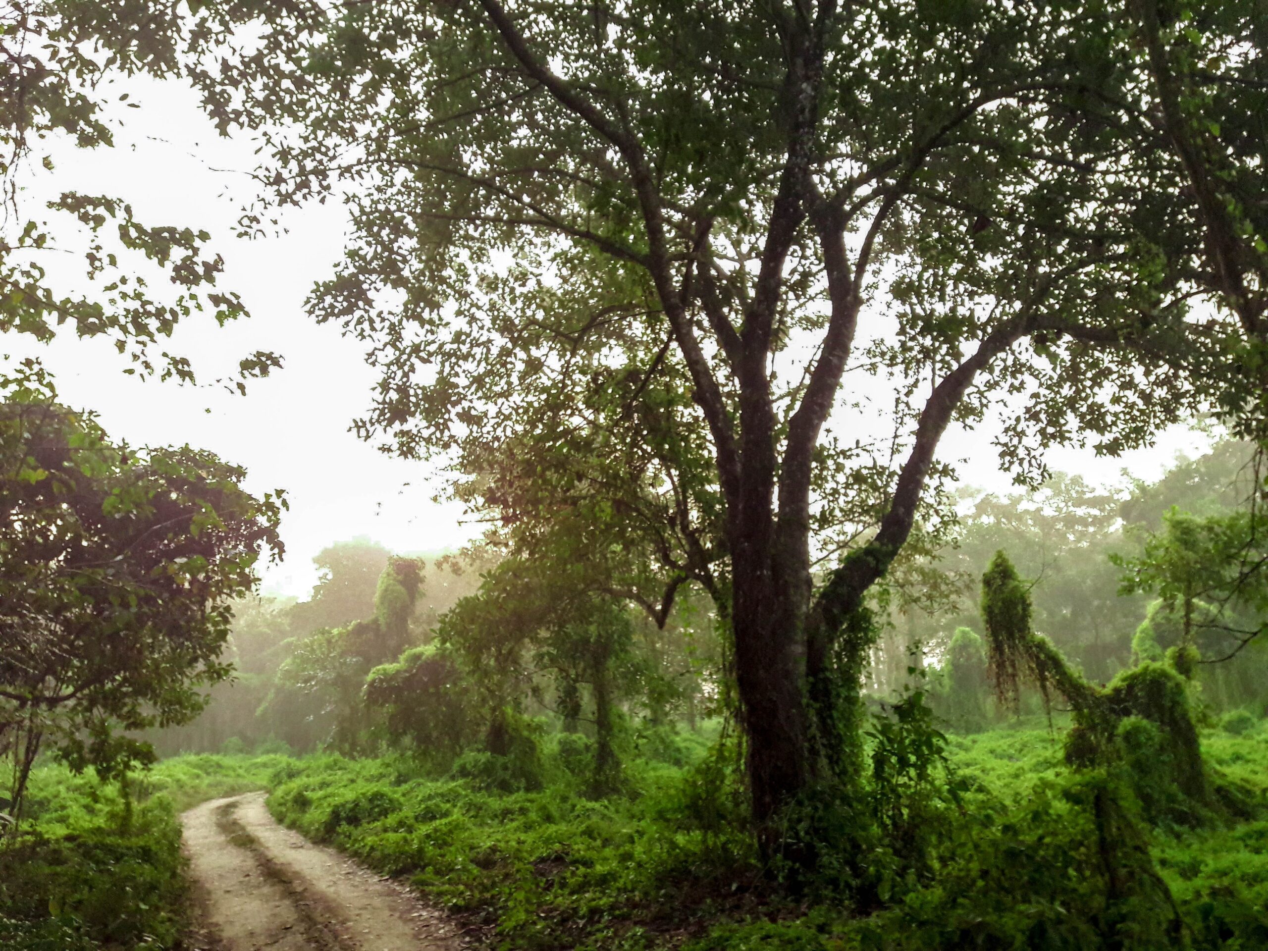
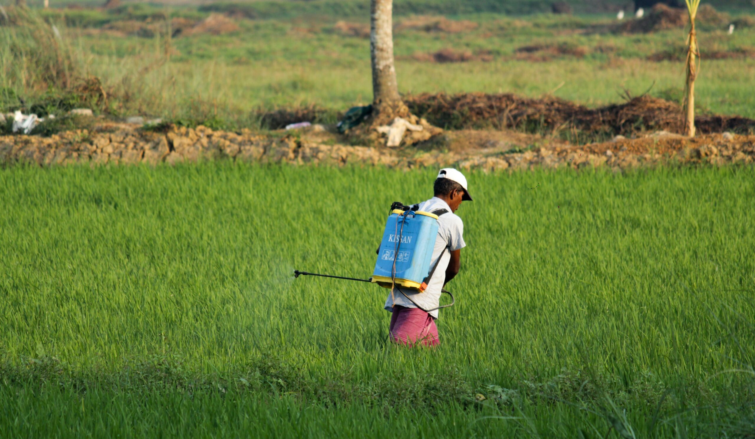
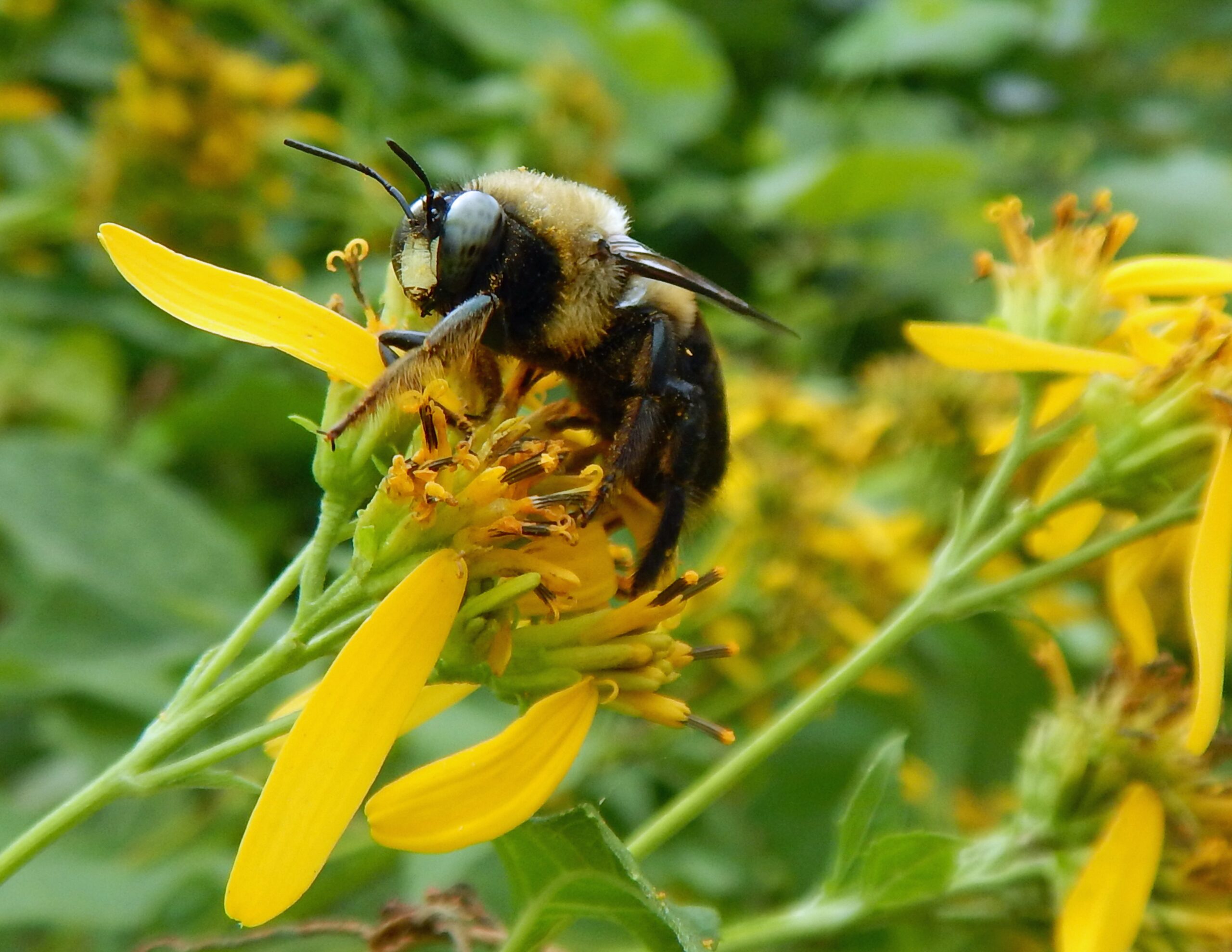
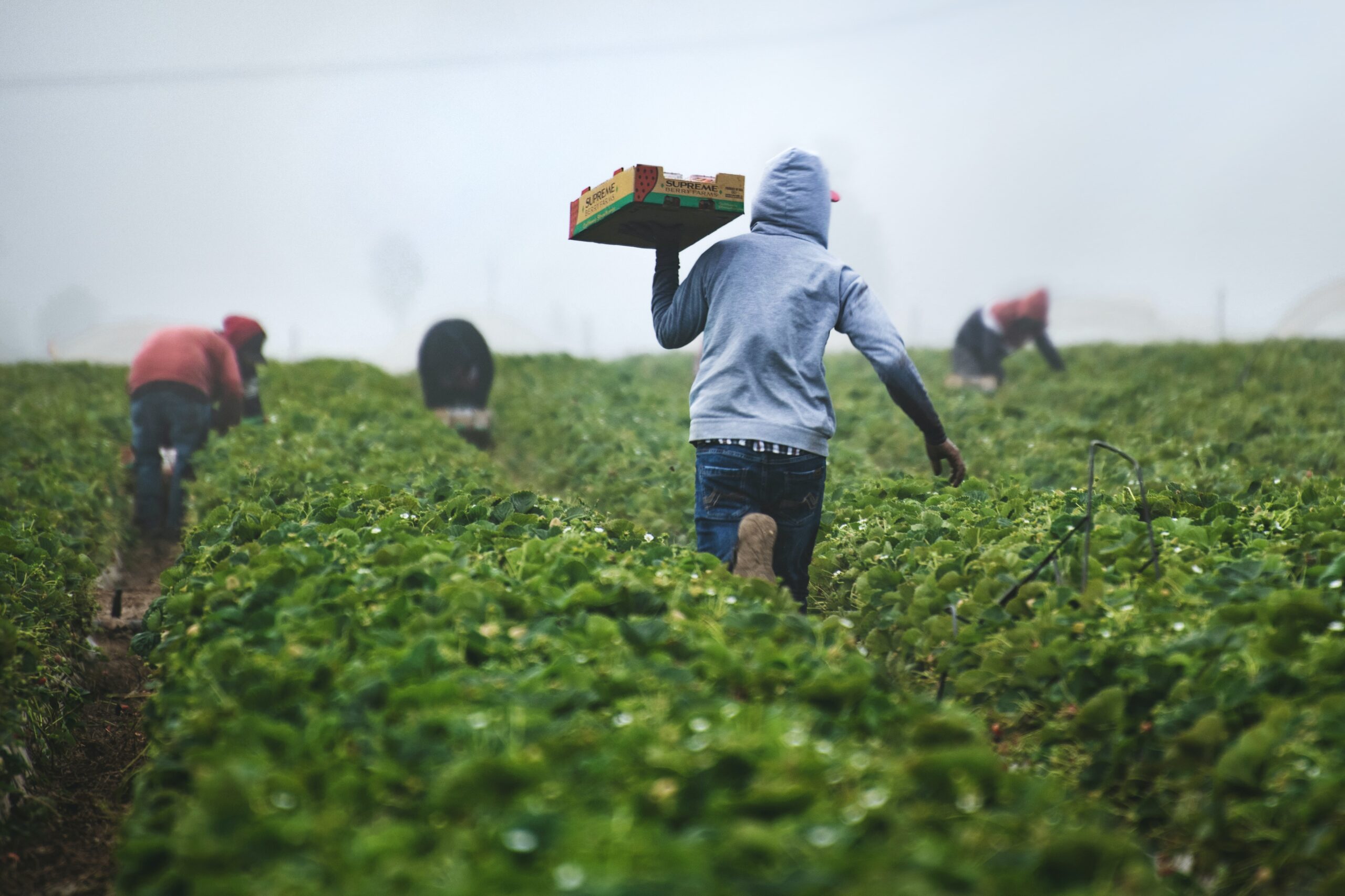
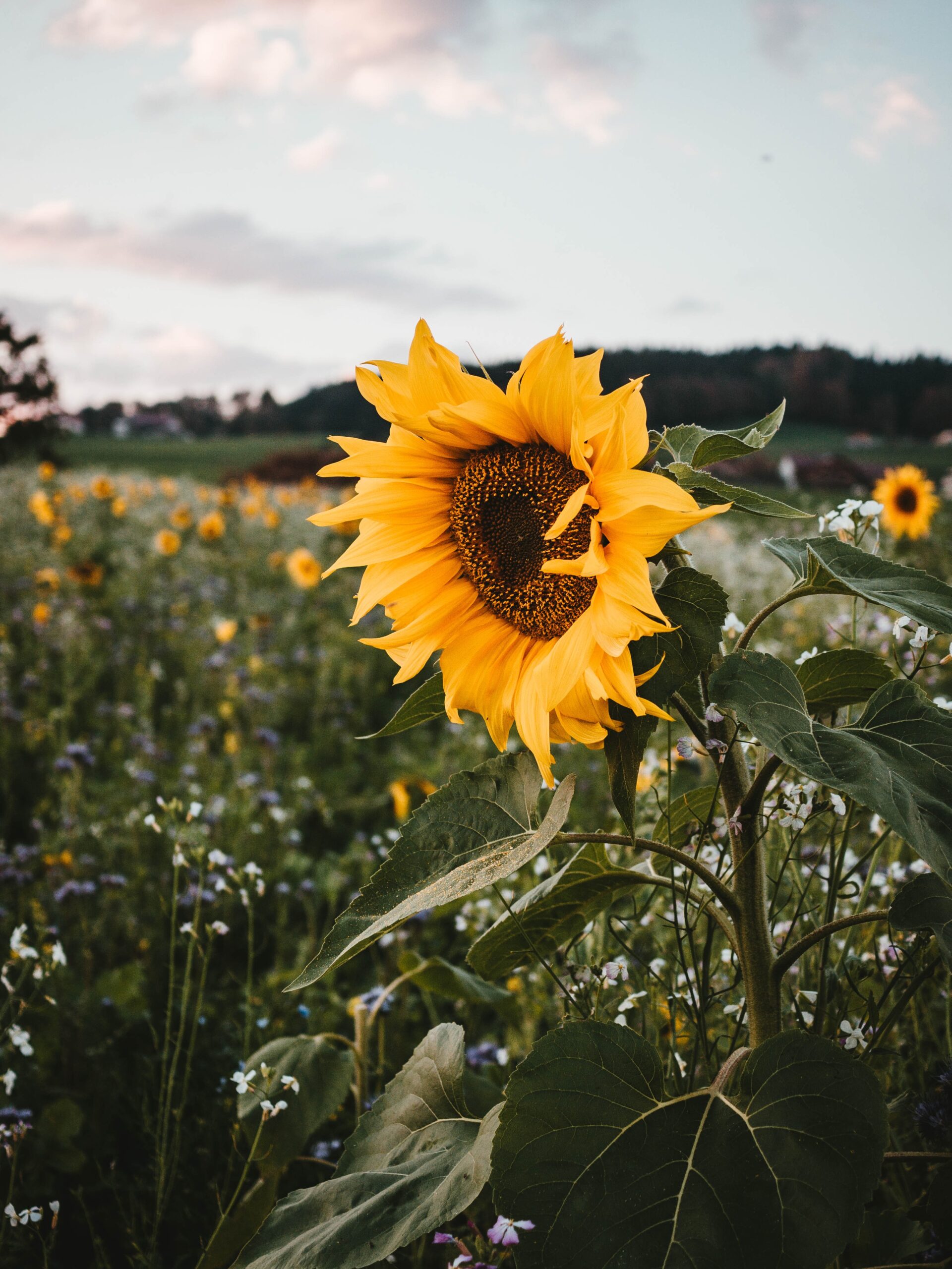
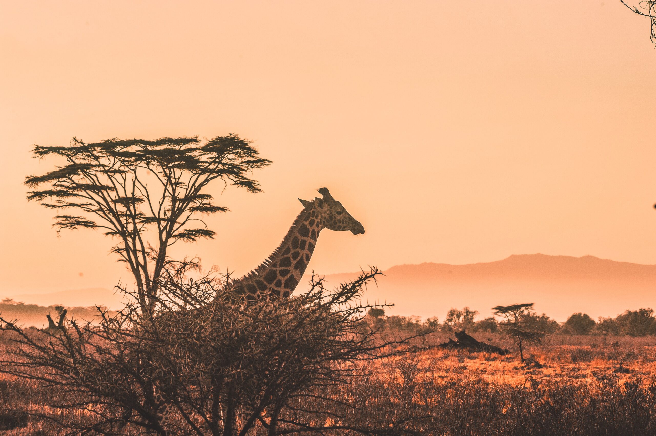
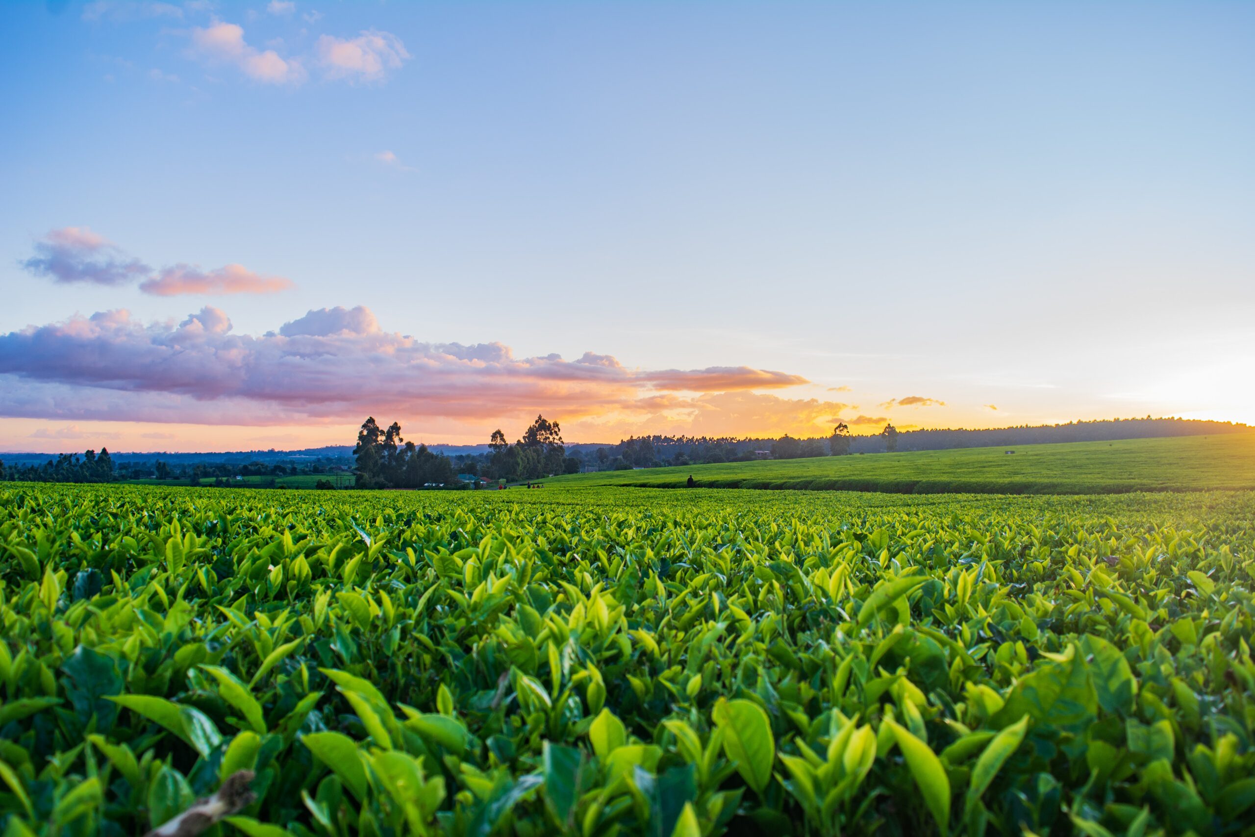
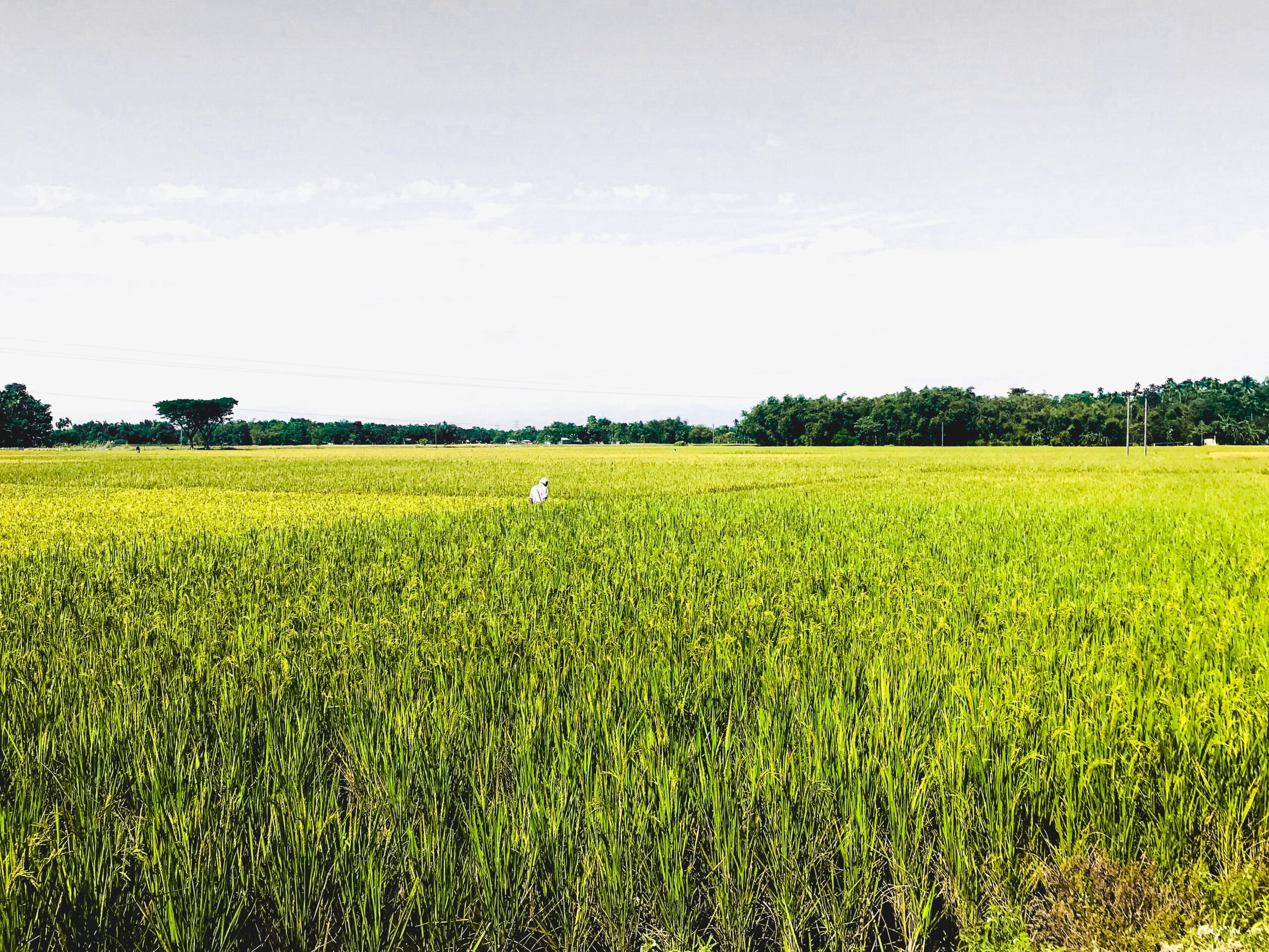
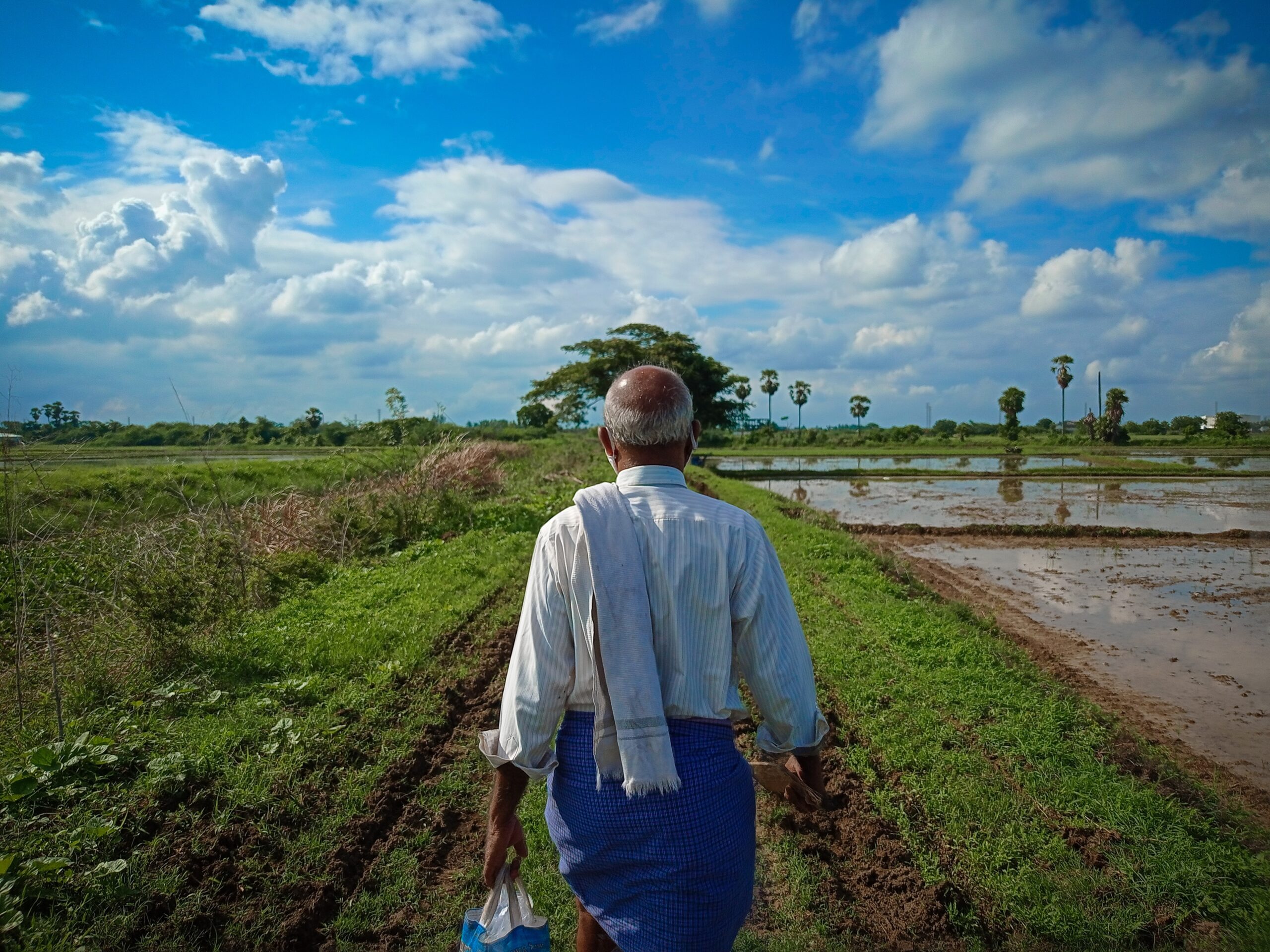
The Kerio Valley of Kenya forms a large extension of the Great Rift Valley system. It runs from north to south with Lakes Baringo and Bogoria lying east of the valley. Altitude ranges from 900 meters in the Lake Baringo and Lake Kamnarok basins to over 2300 meters in the adjacent highlands. The mean annual temperature ranges from 14º C in the highlands to 24º C in the semi-arid lowlands. The Nilotic people (including the Keiyo, Elgeyo, Pokot, Tugen and Marakwet peoples) inhabiting the valley, practice a mixture of pastoralism and small-scale subsistence agriculture using irrigation. The population density in the valley is low (about 15 people per square kilometer) and dispersed, as people follow traditional patterns of livestock rearing in the lowlands of the valley. Most of the settled homesteads are close to the water with large areas of uninhabited land in between.
Tools for conservation and use of pollination services: Initial survey of good pollination practices
Year: 2008