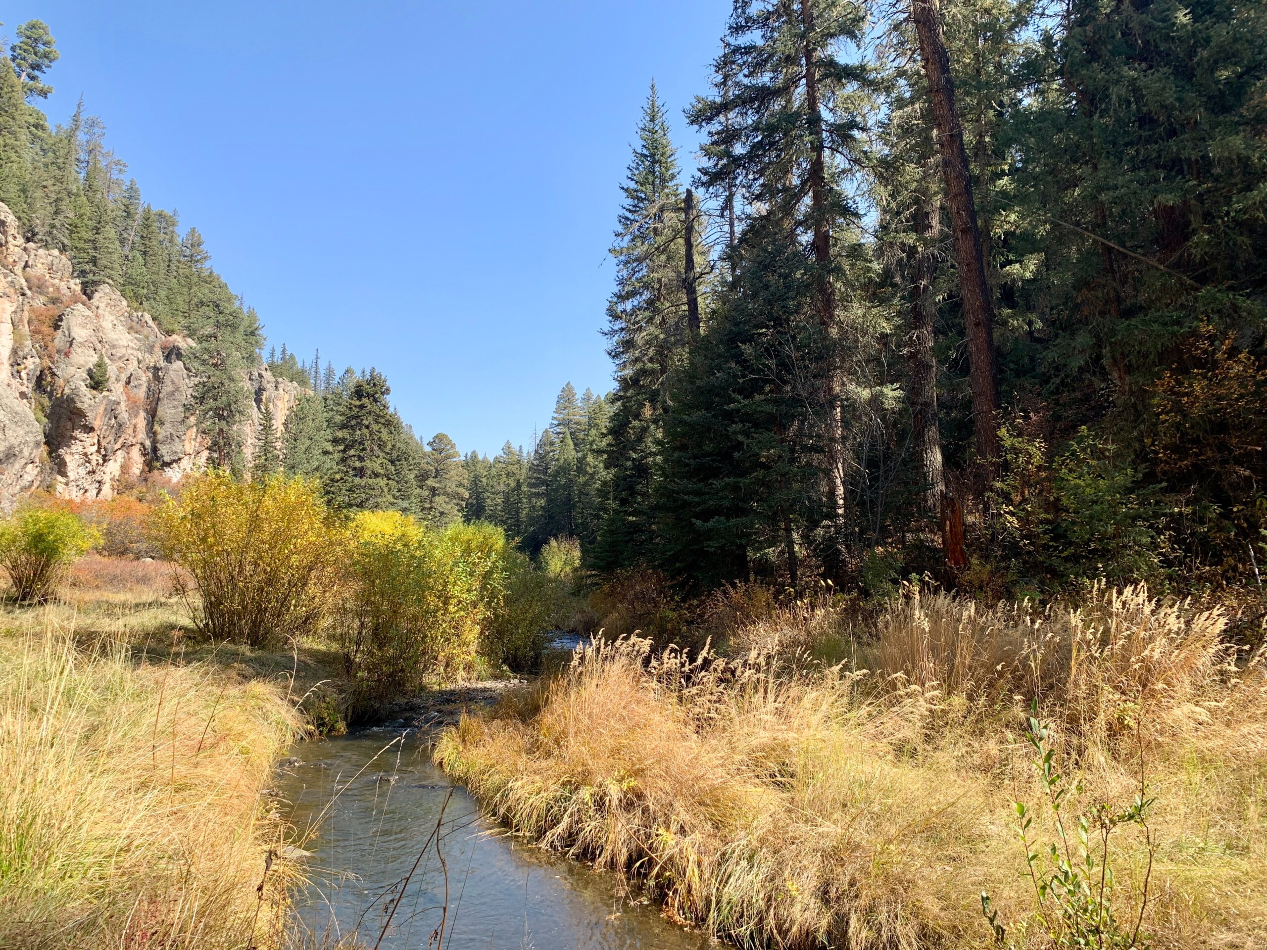
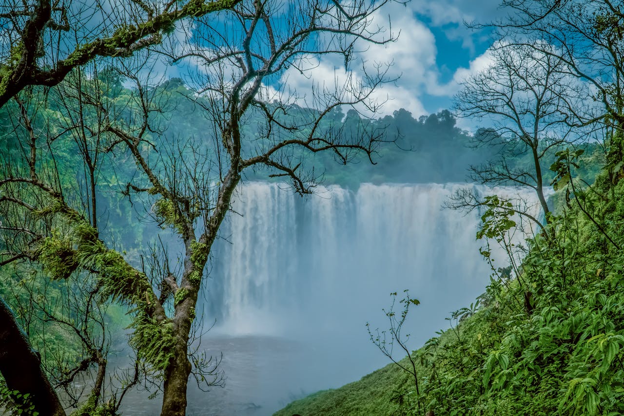
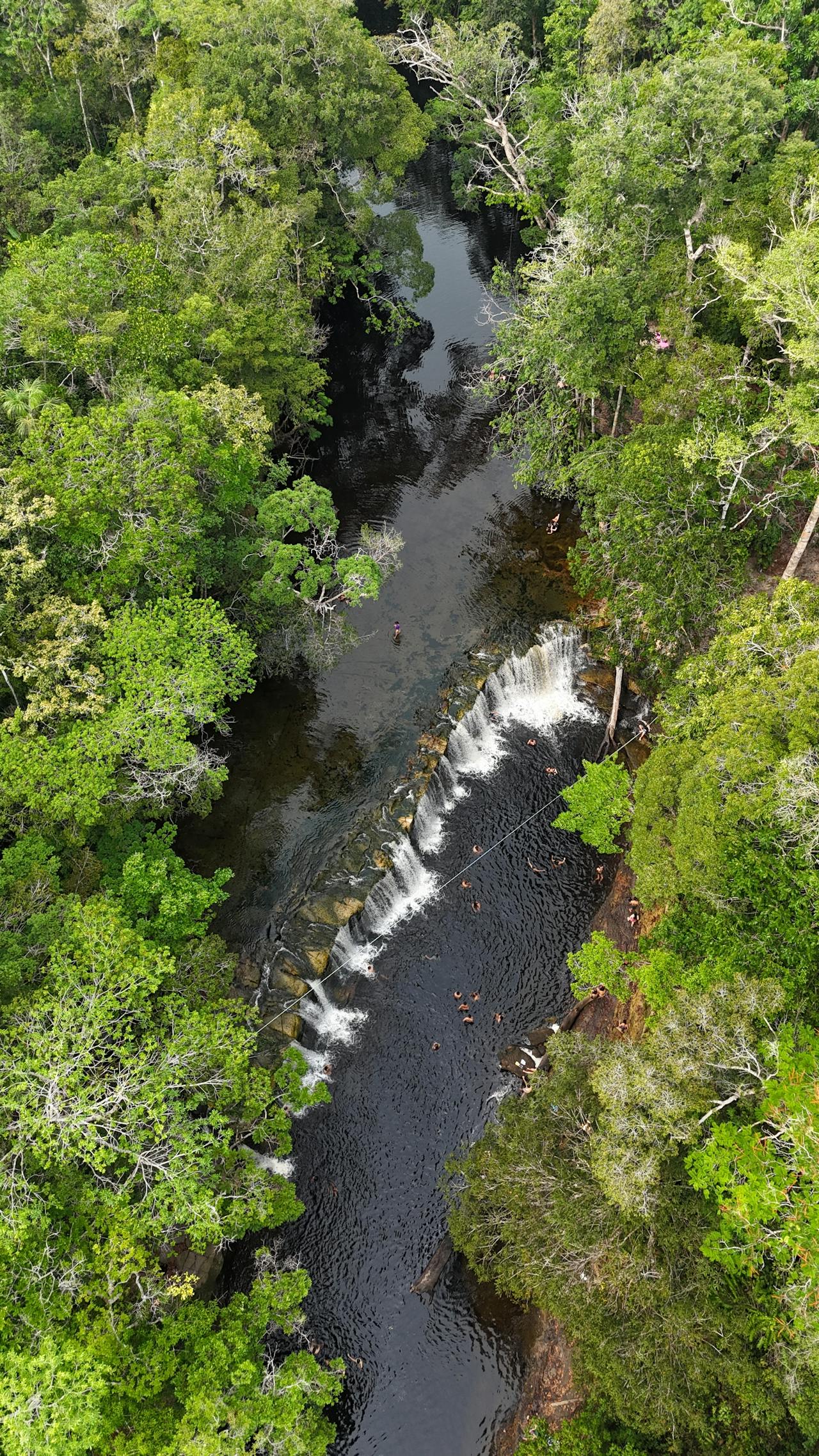
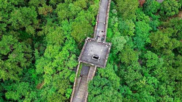
The article presents geospatial analysis supporting Systematic Conservation Planning approach based on viewshed assessment, aiming to identify strategic observation points with a lower degree of redundancy along a visitor trail. By means of the viewshed technique in a Geography Information System (GIS), the observer’s fields of view were mapped (viewshed) to 17 points along a trail located in Chapada dos Veadeiros National Park – Brazil. Panoramic photographs were obtained for the same points, representing the field of view of a tourist. Through field of view analysis of the 17 areas, the technique of overlapping viewshed models identified four strategic points to contemplate the landscape, due to the lower degree of redundancy. As a result, it was noticed that although covering only 57% of the visible area of the trail, the
visible regions of the four points are the most representative (higher regions, distant from each other). Also, their areas of visibility are little redundant and complementary, which ratified the efficiency described in the Systematic Conservation Planning (SCP). The results of this research can provide guidance for the visual landscape interpretation of the whole trail, and not just the waterfalls, located at the end of the course. In addition, this locational analysis can collaborate in the tourism management by addressing the demand points destined to be the targets of future installation of information panels or observation towers.
The establishment of national park system: A new milestone for the field of nature conservation in China
Year: 2020