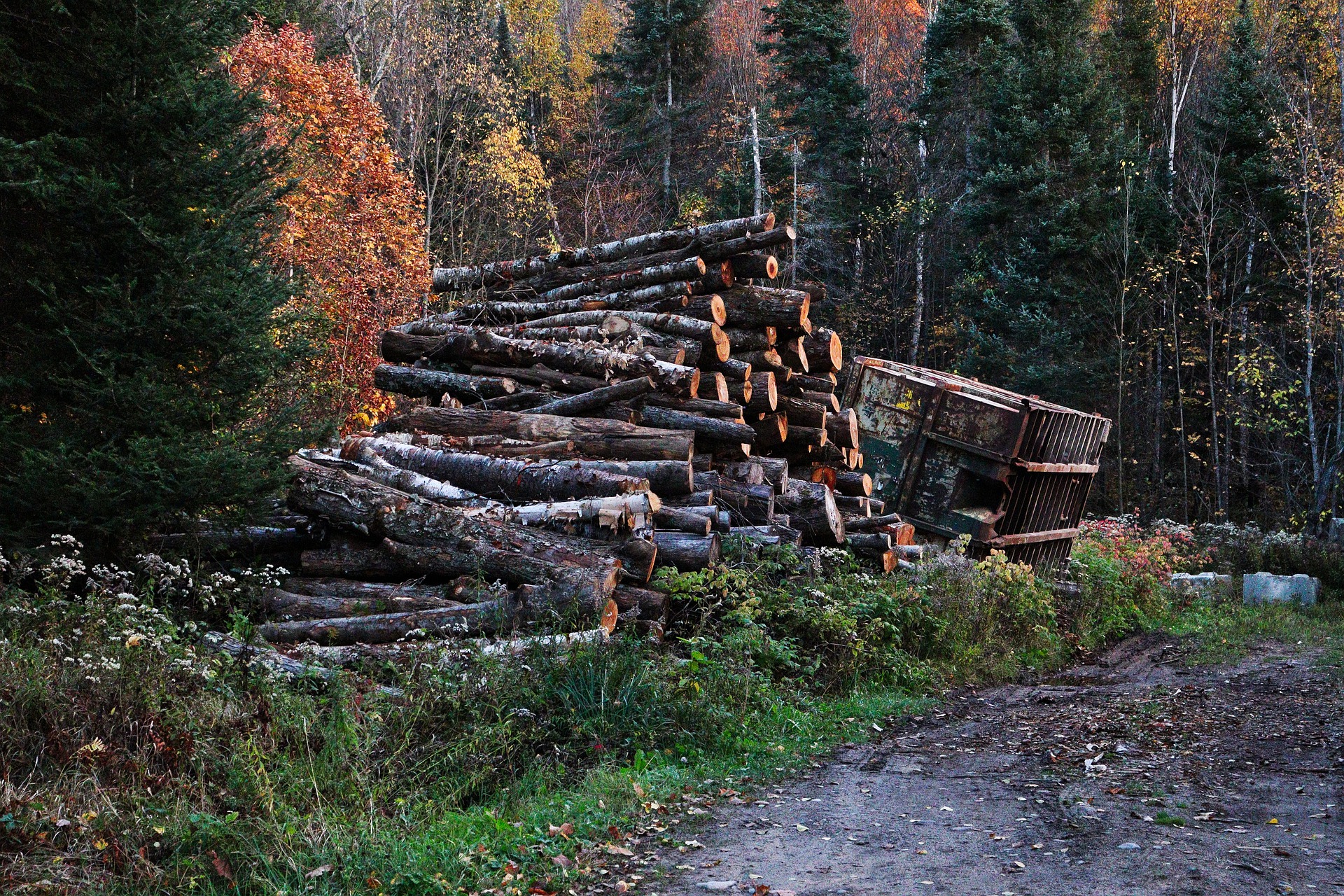
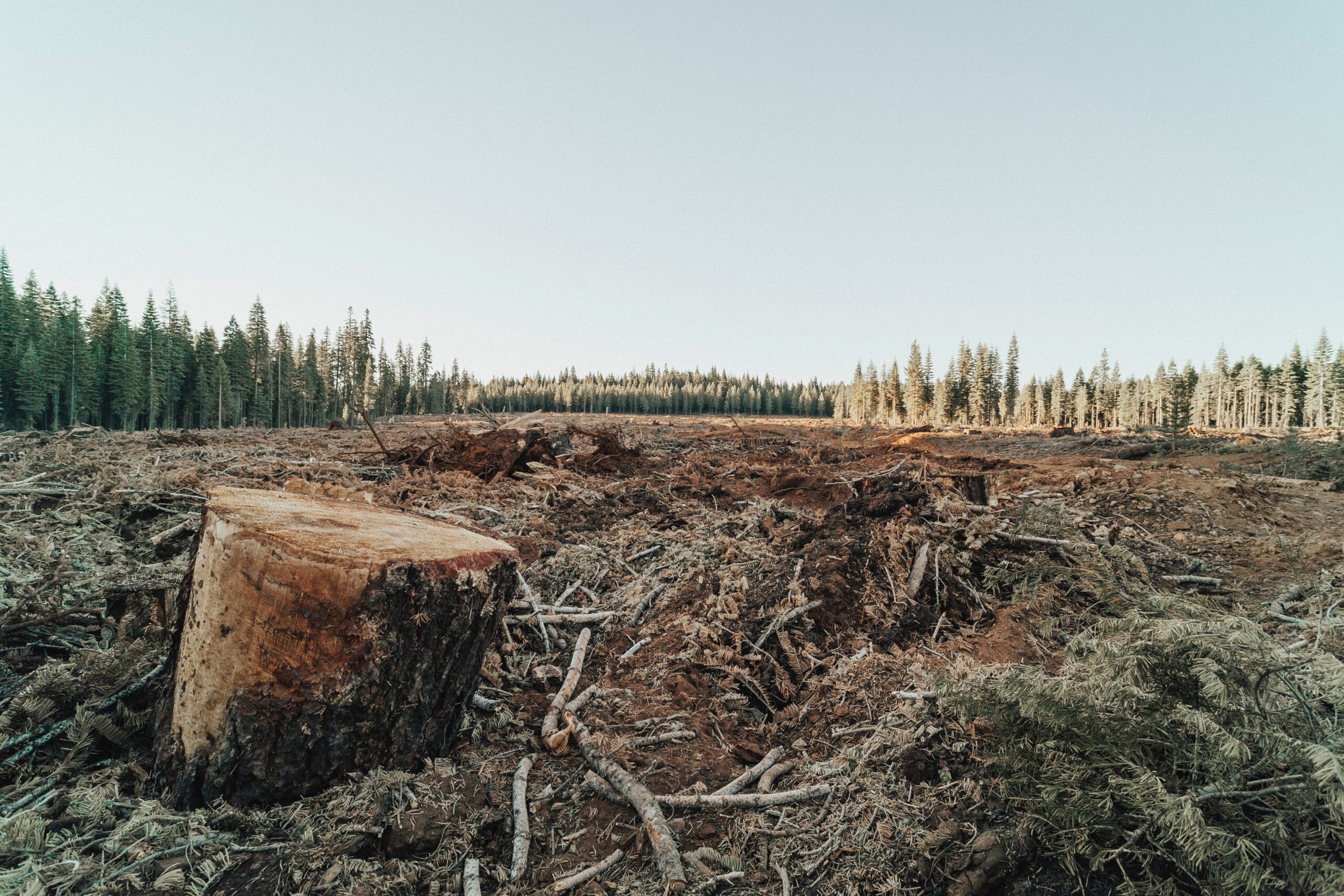
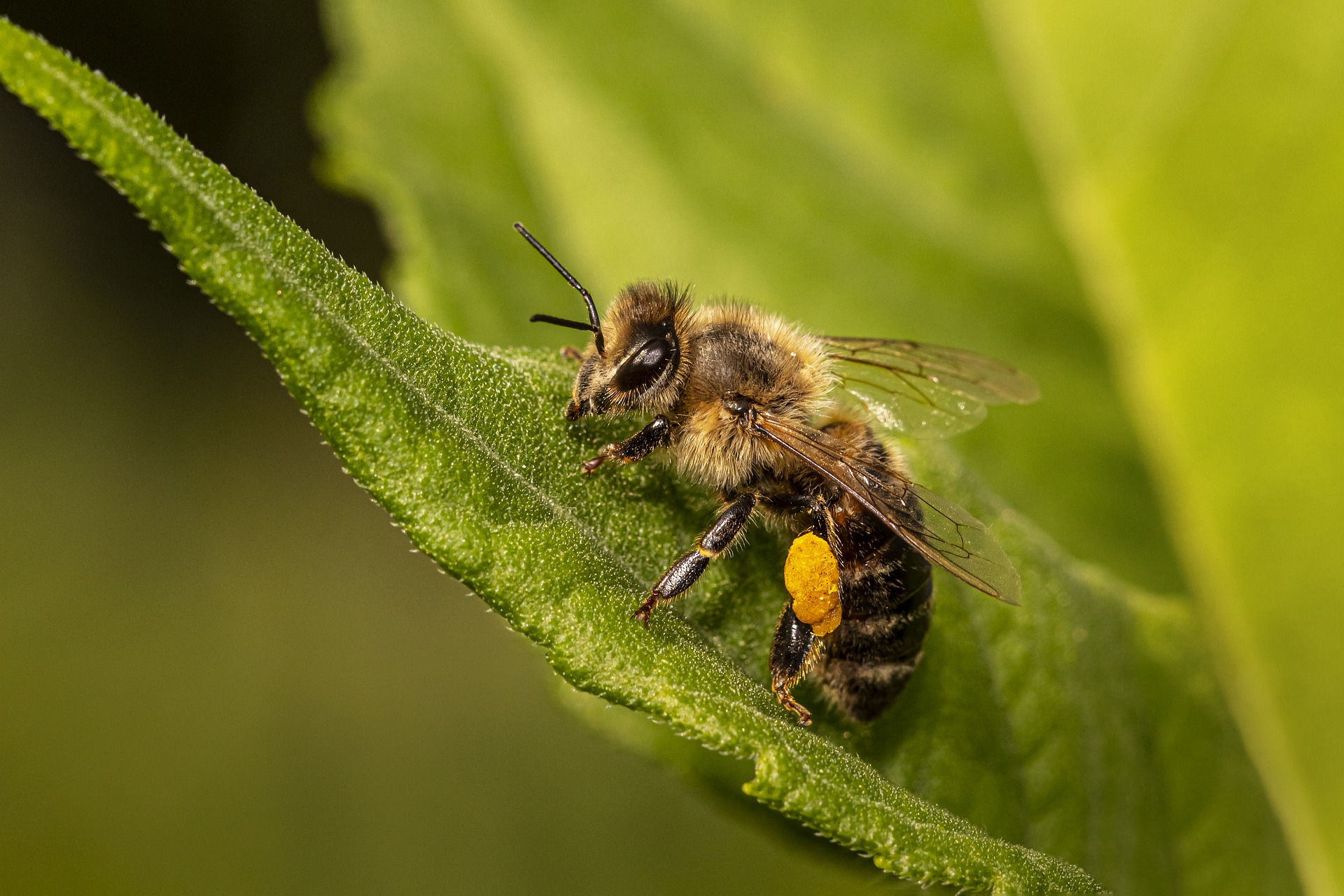
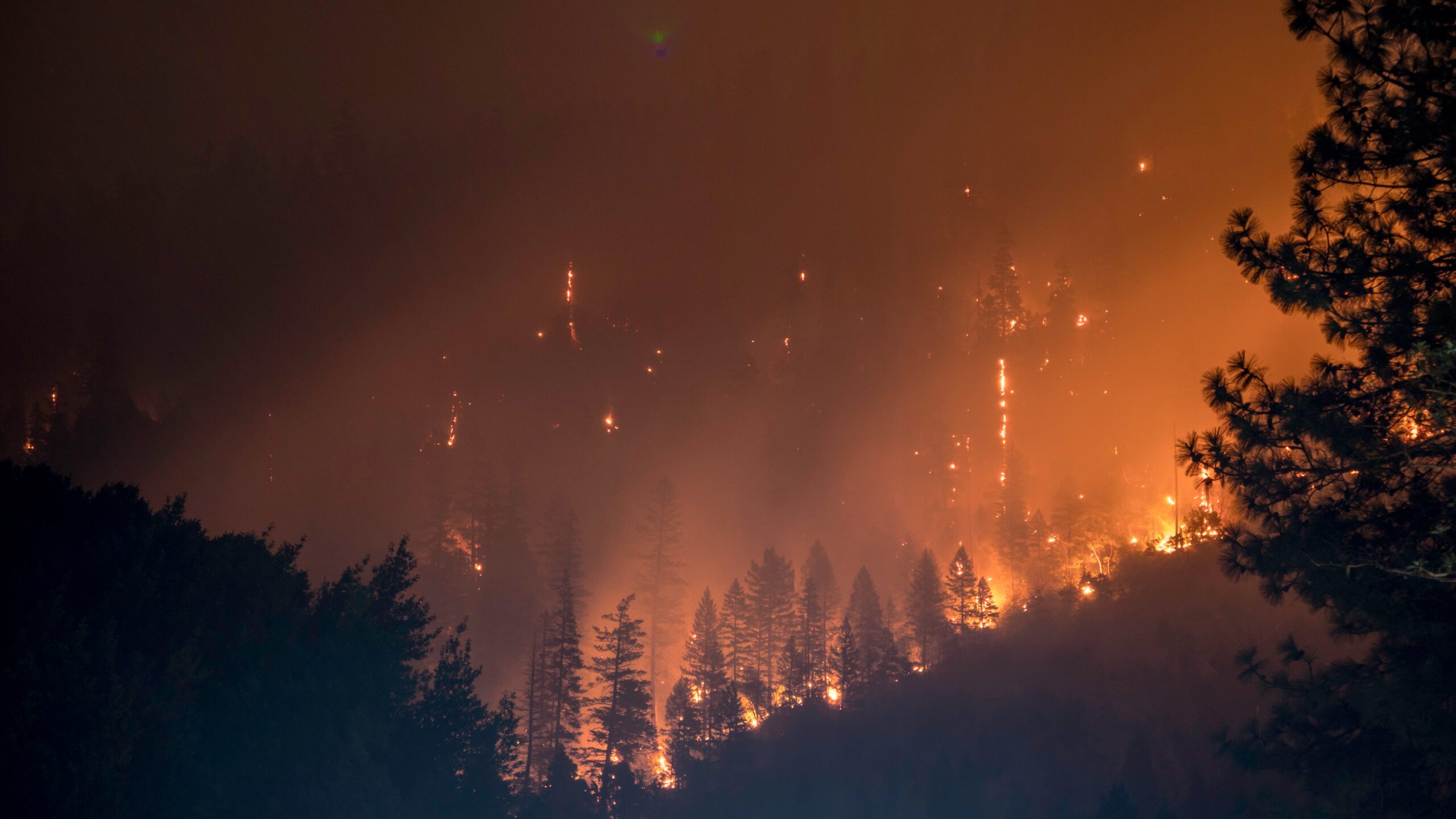
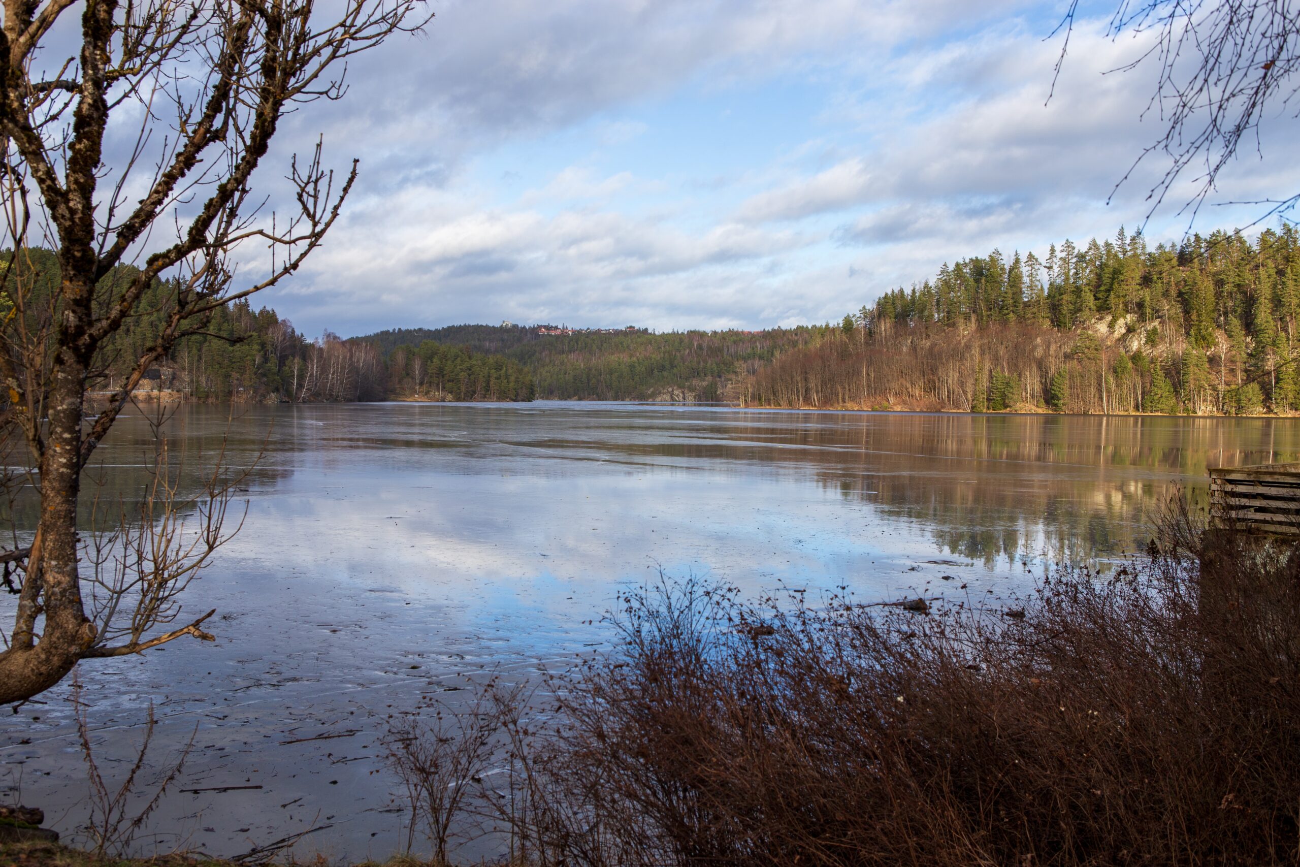
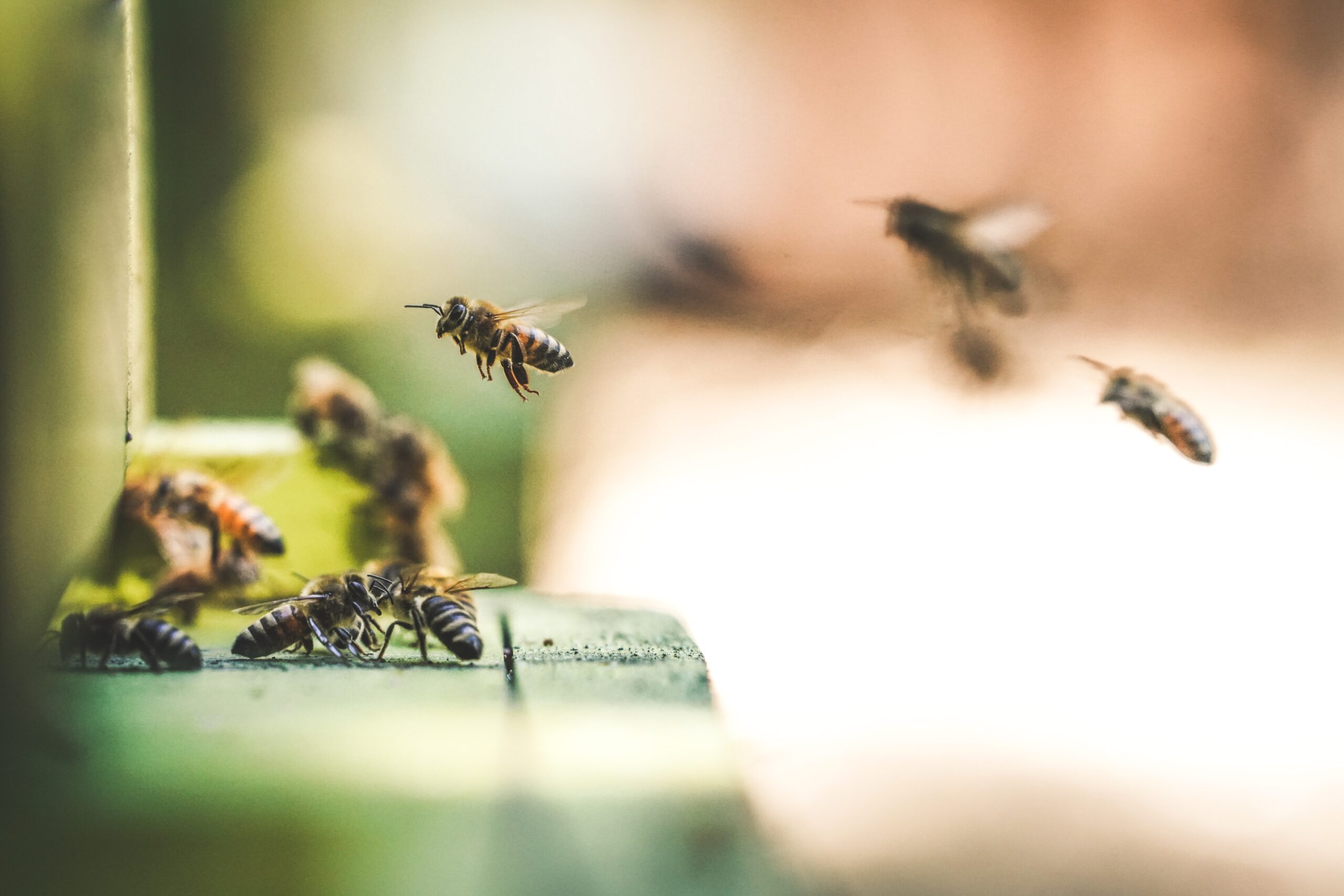
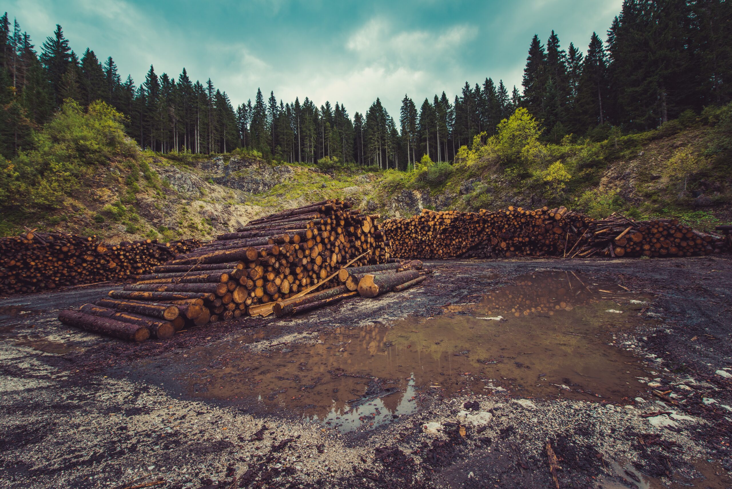
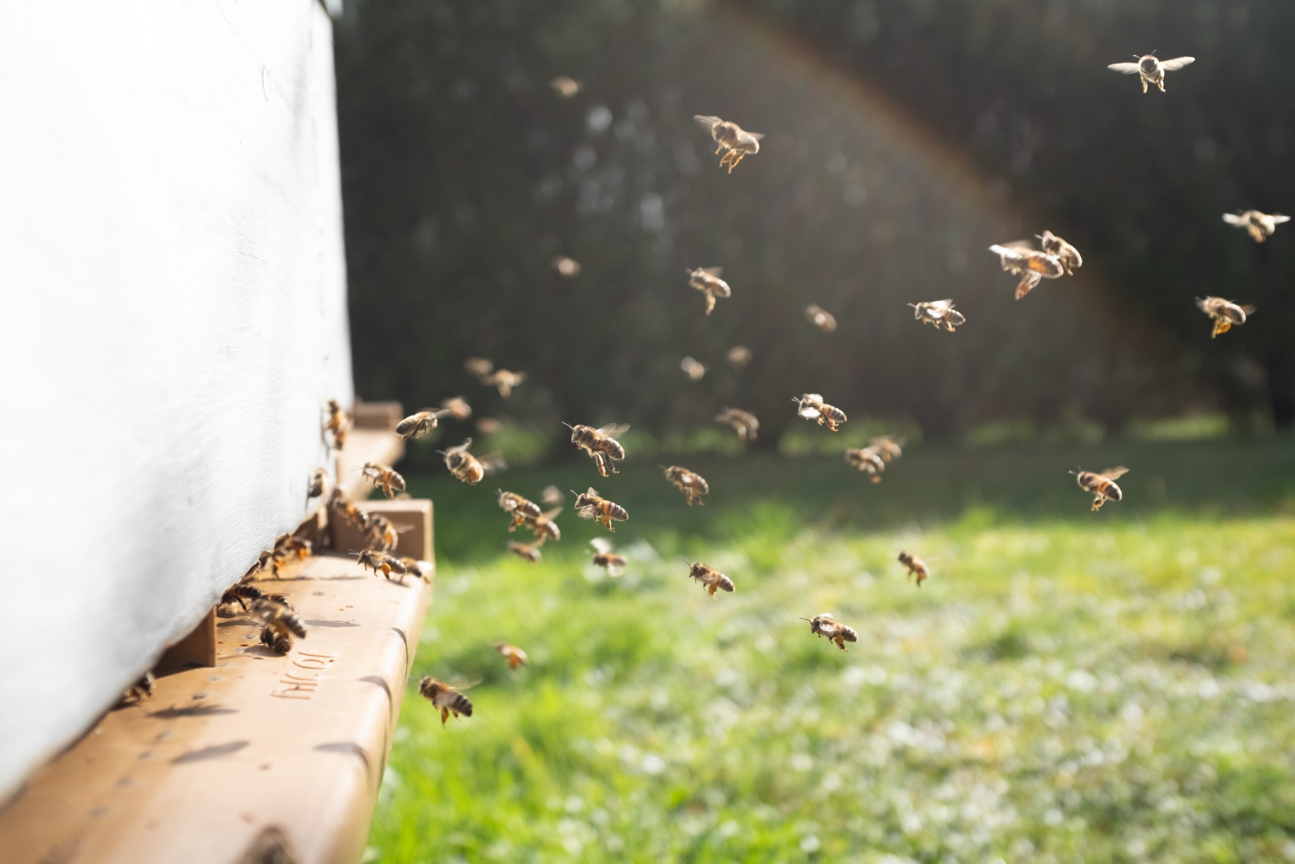
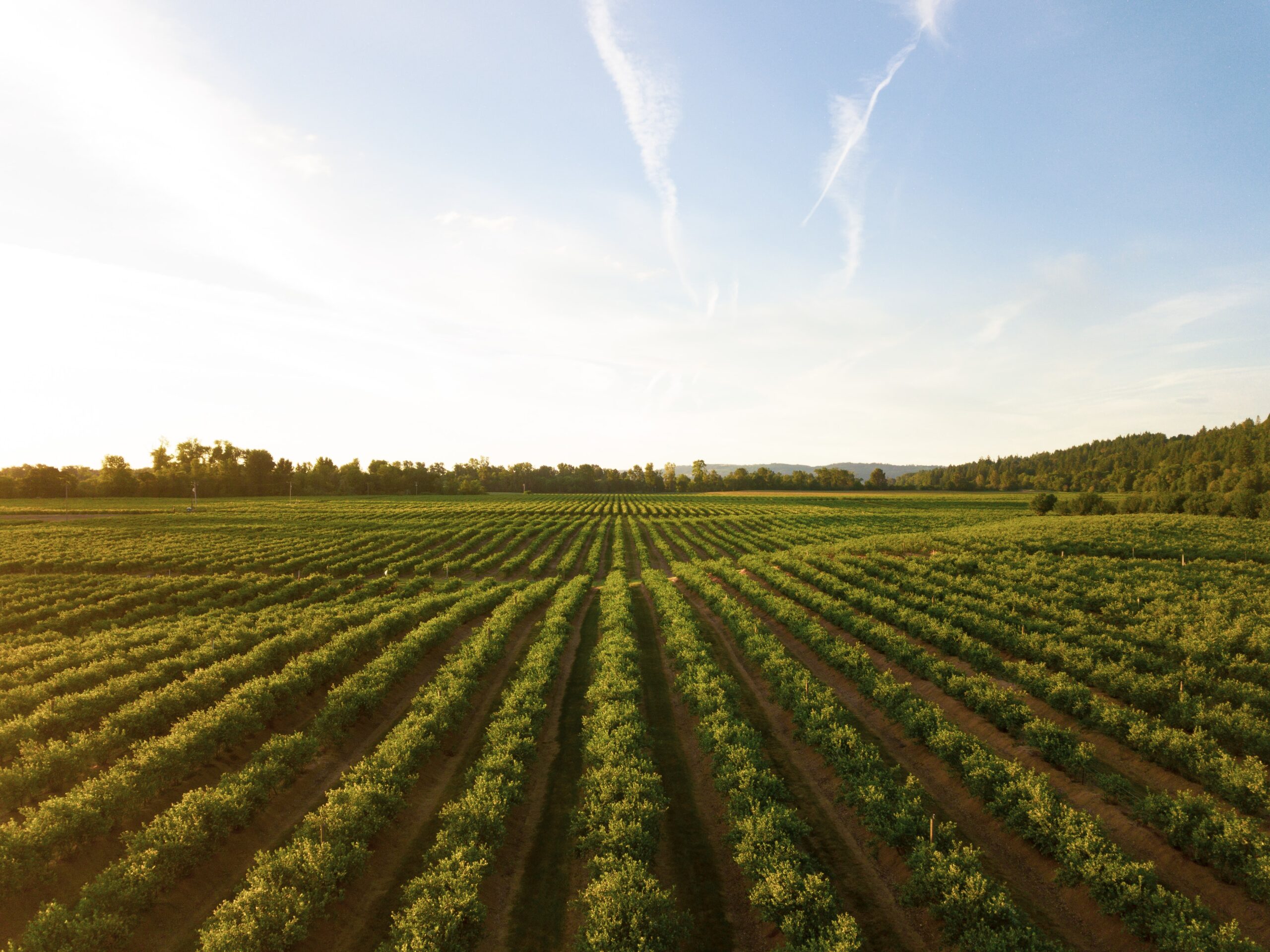
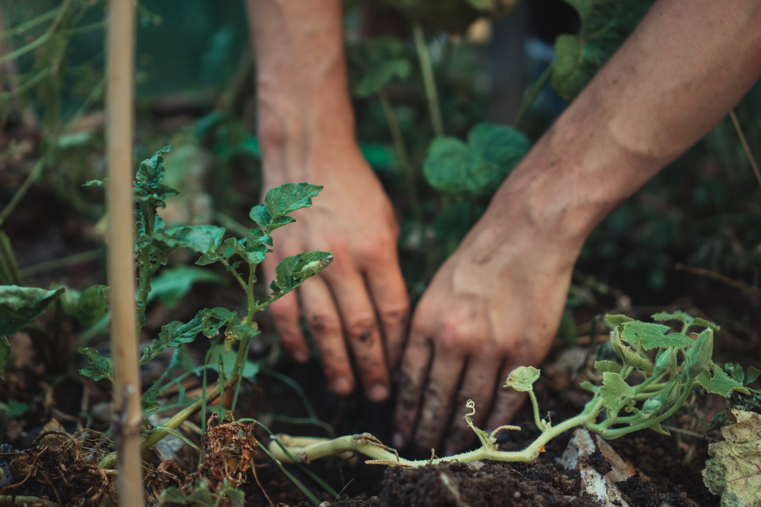
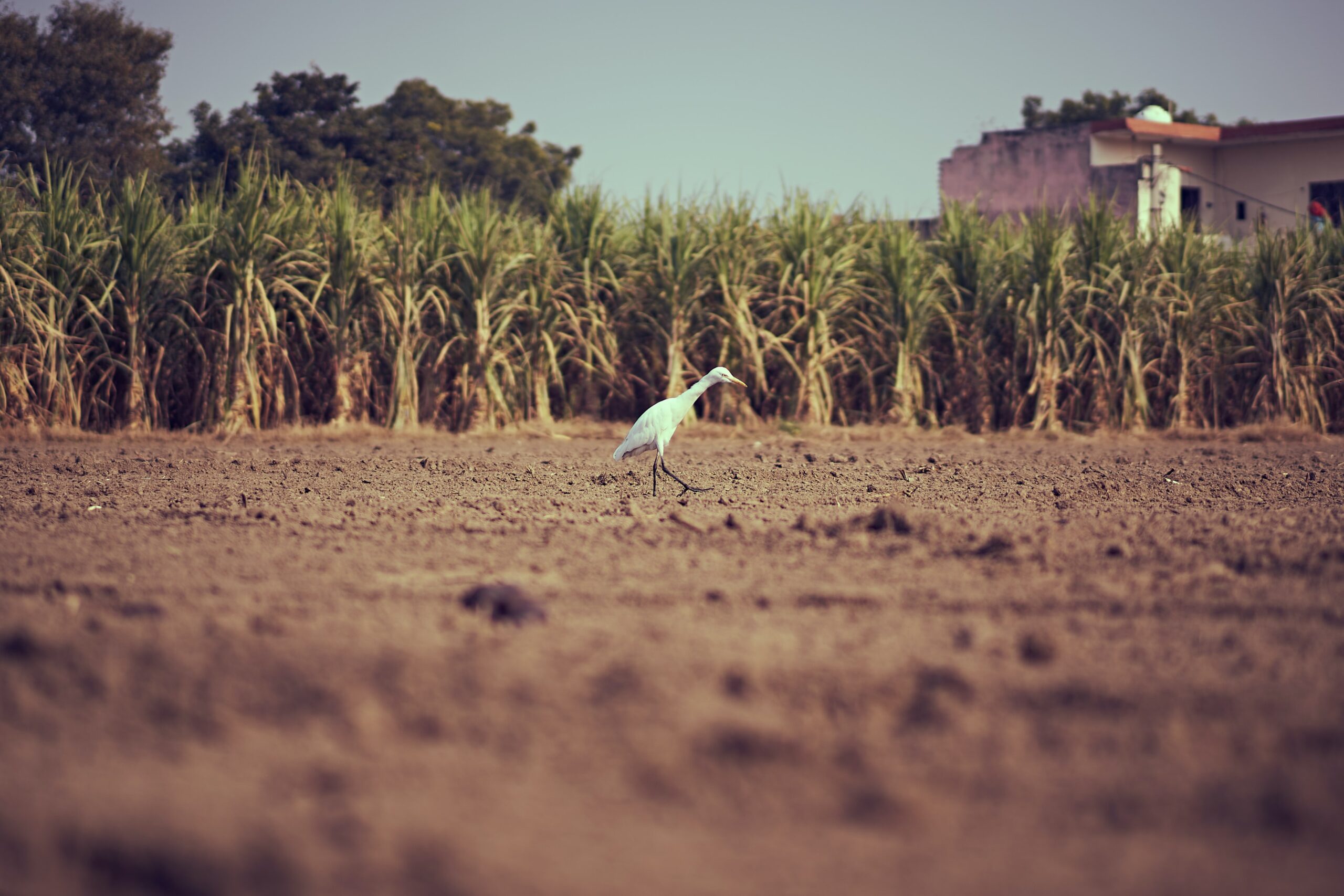
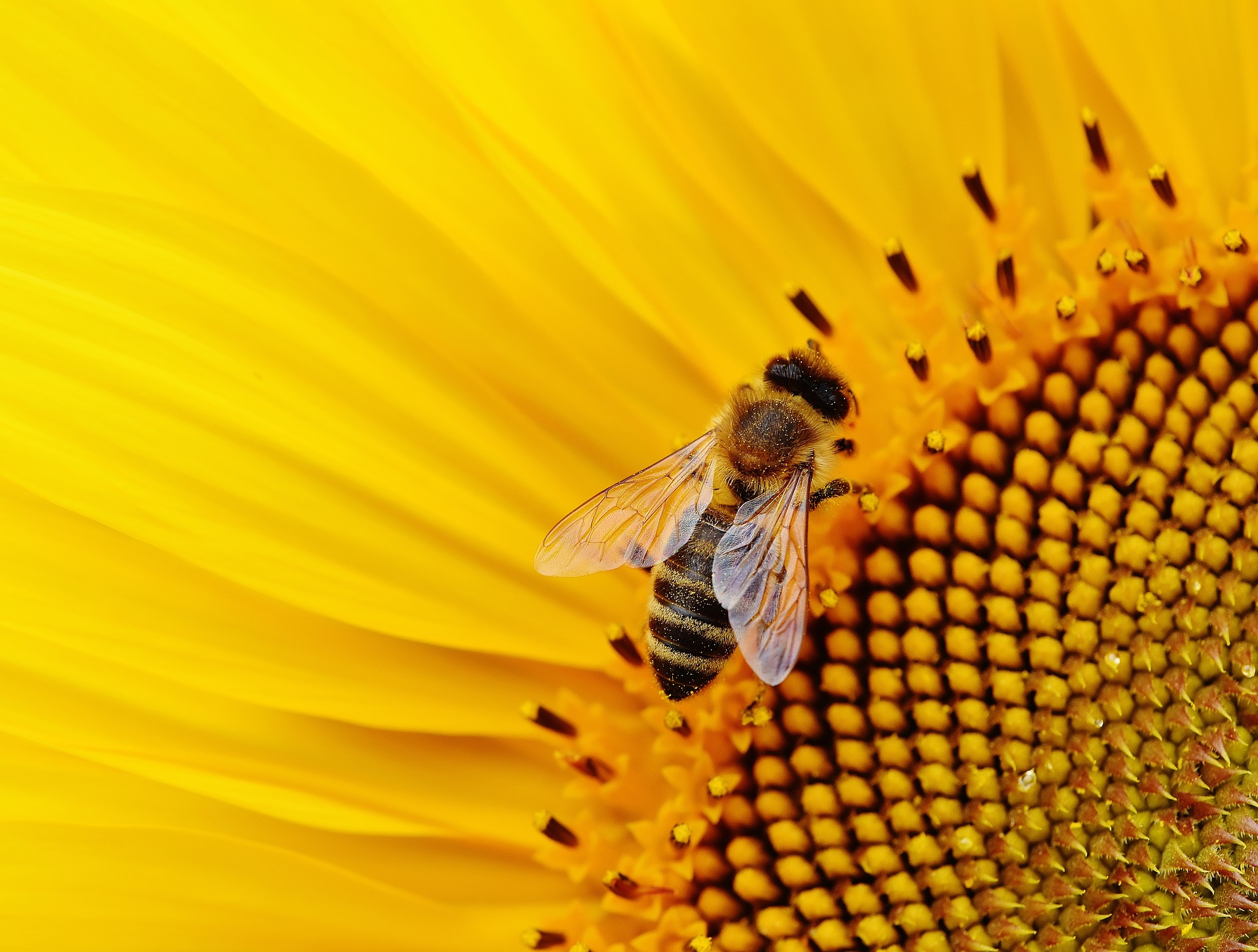
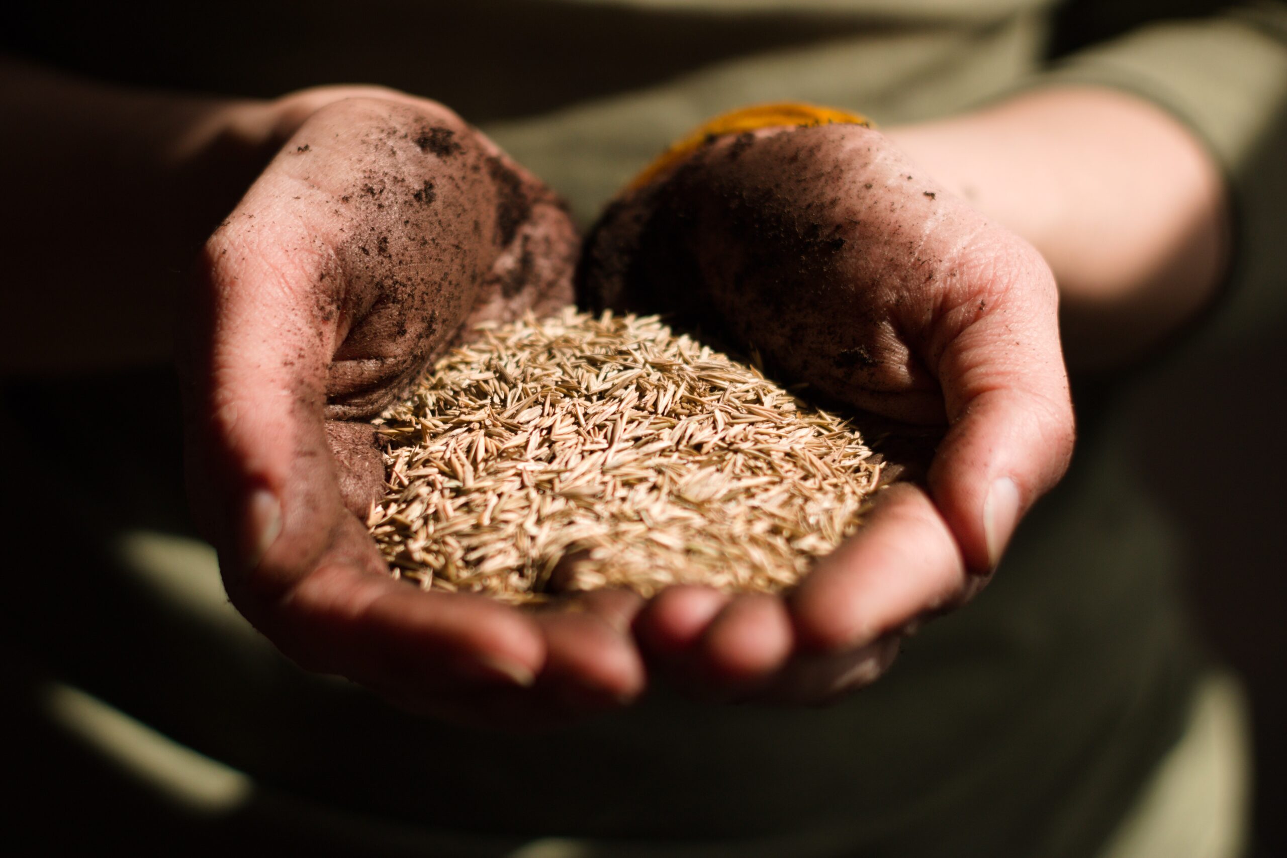
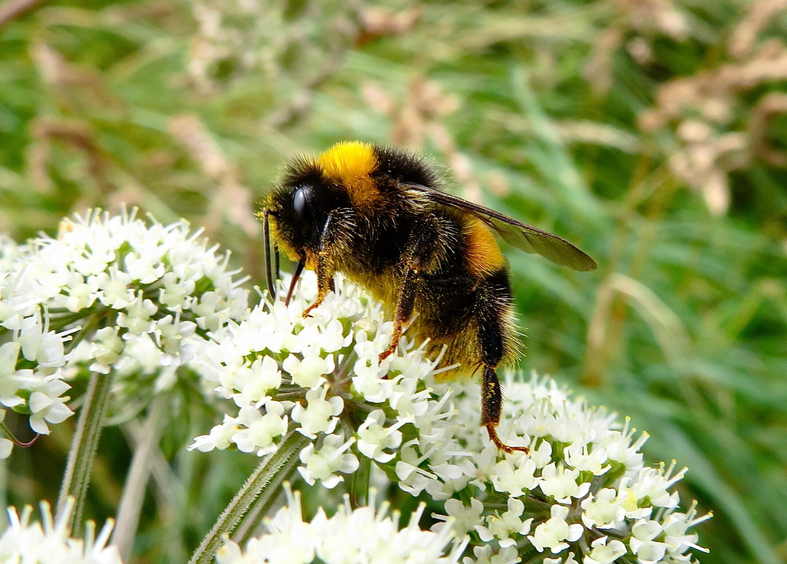
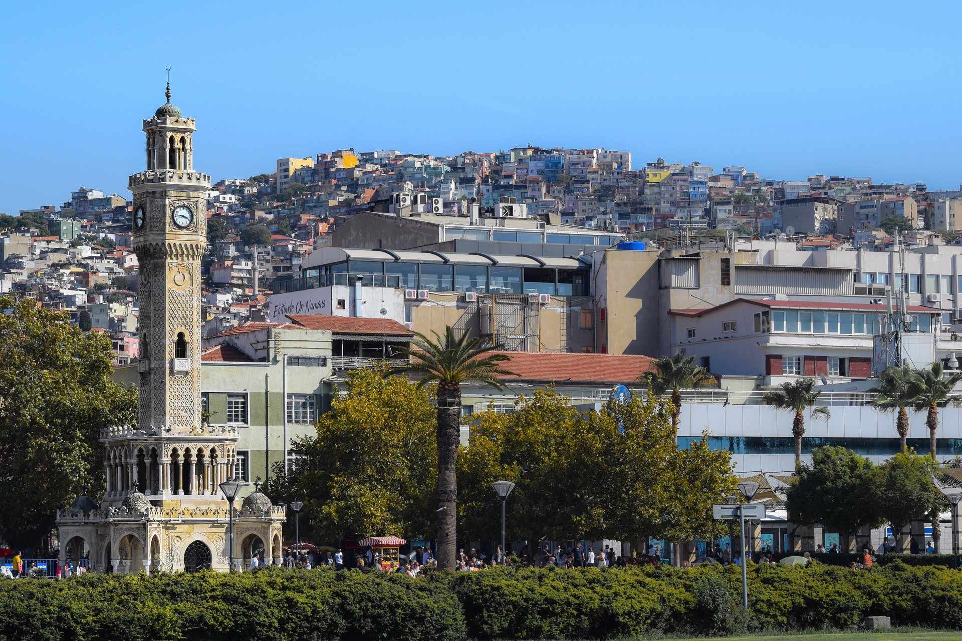
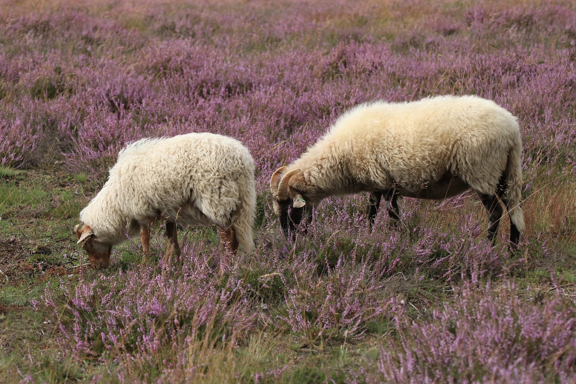
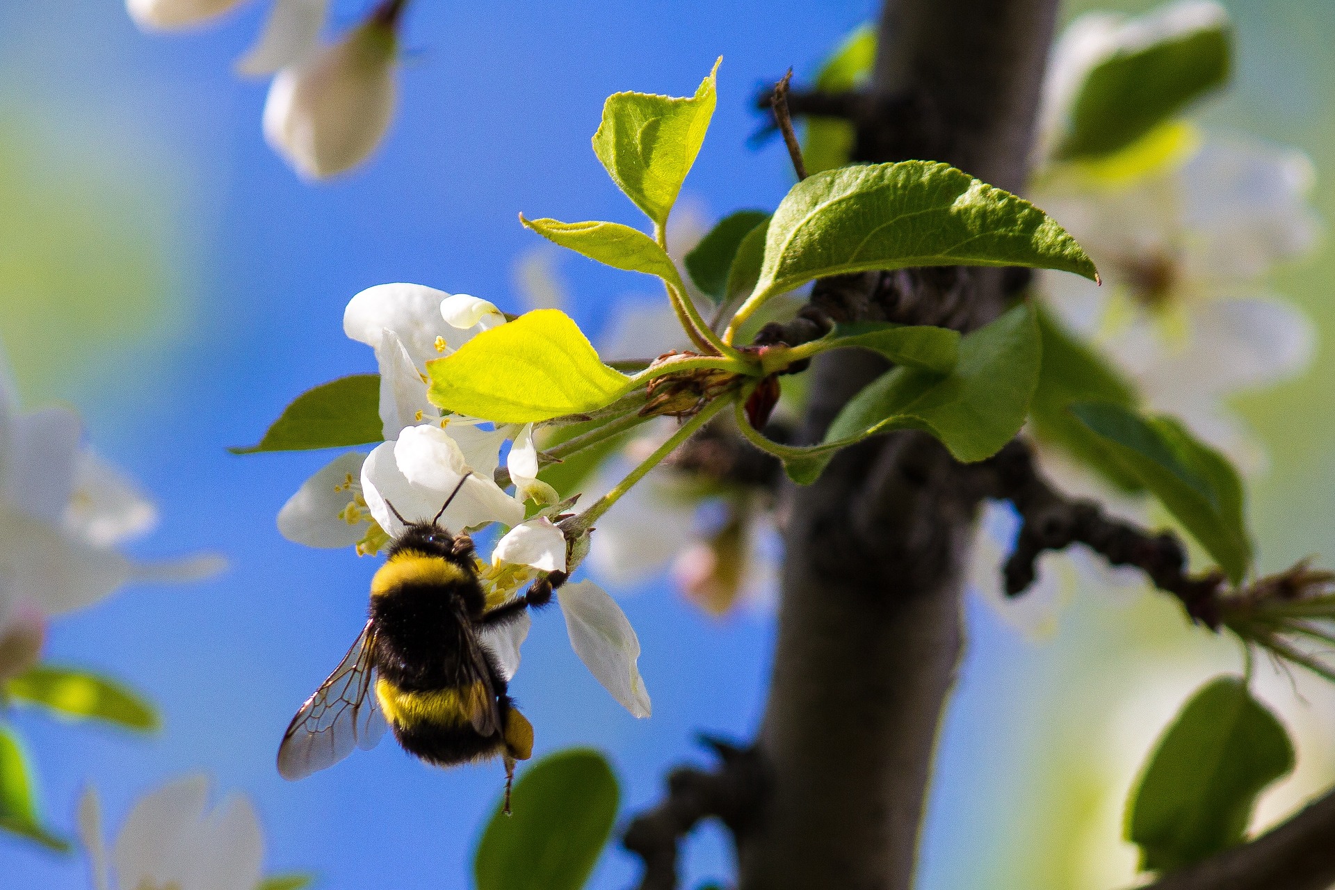
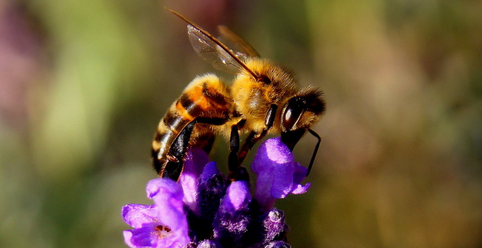
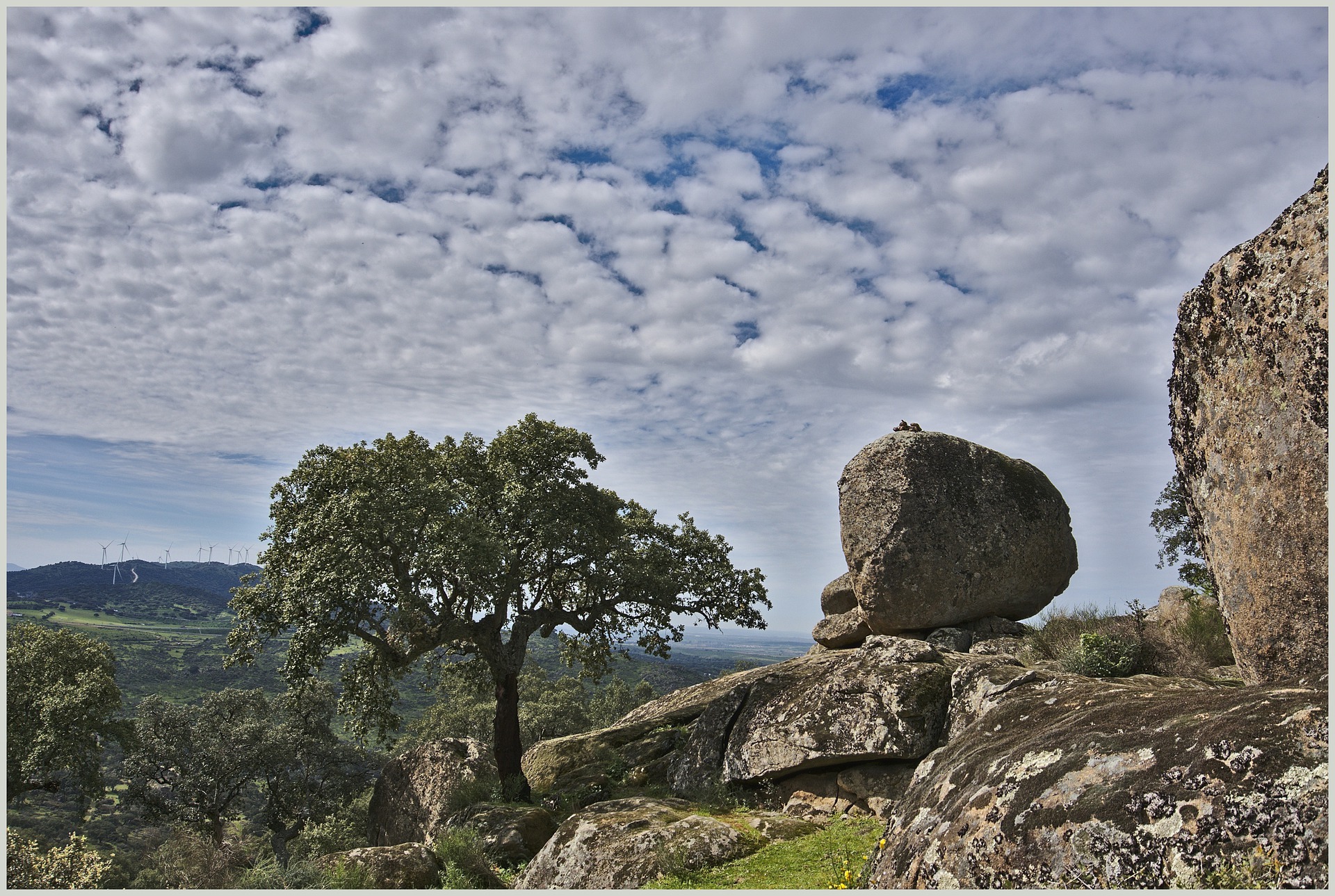
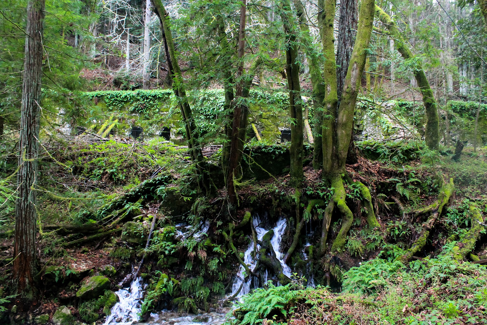
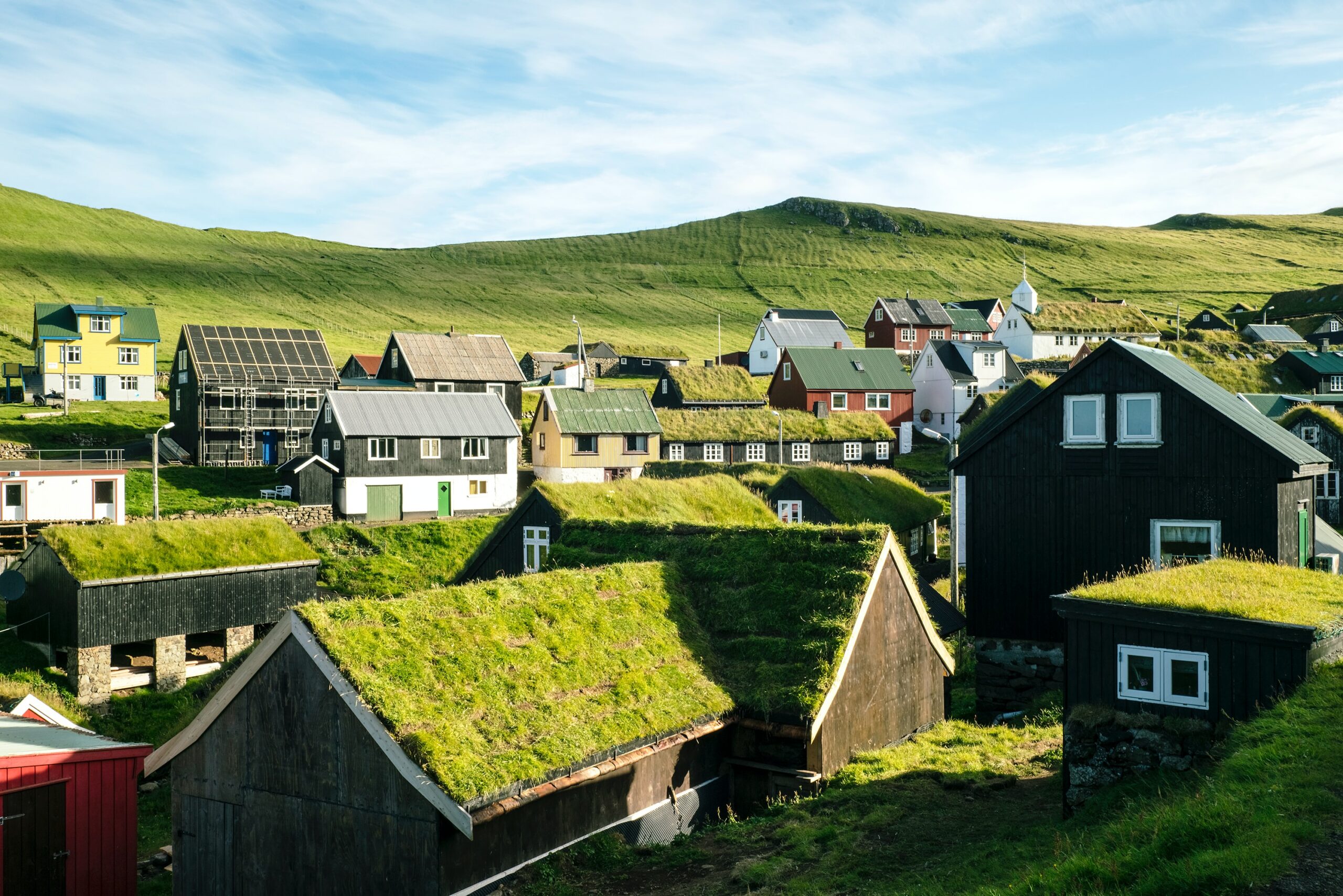
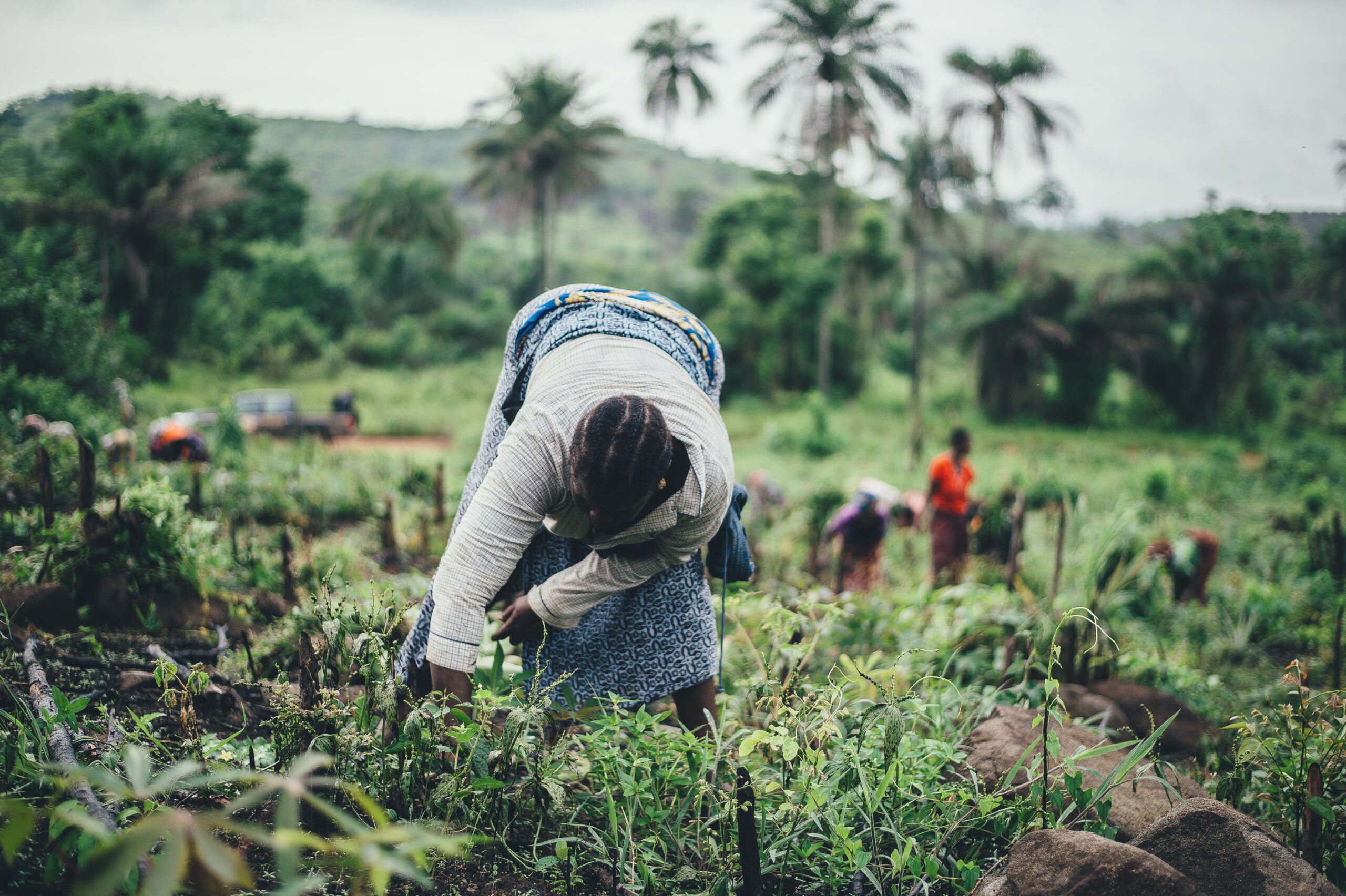
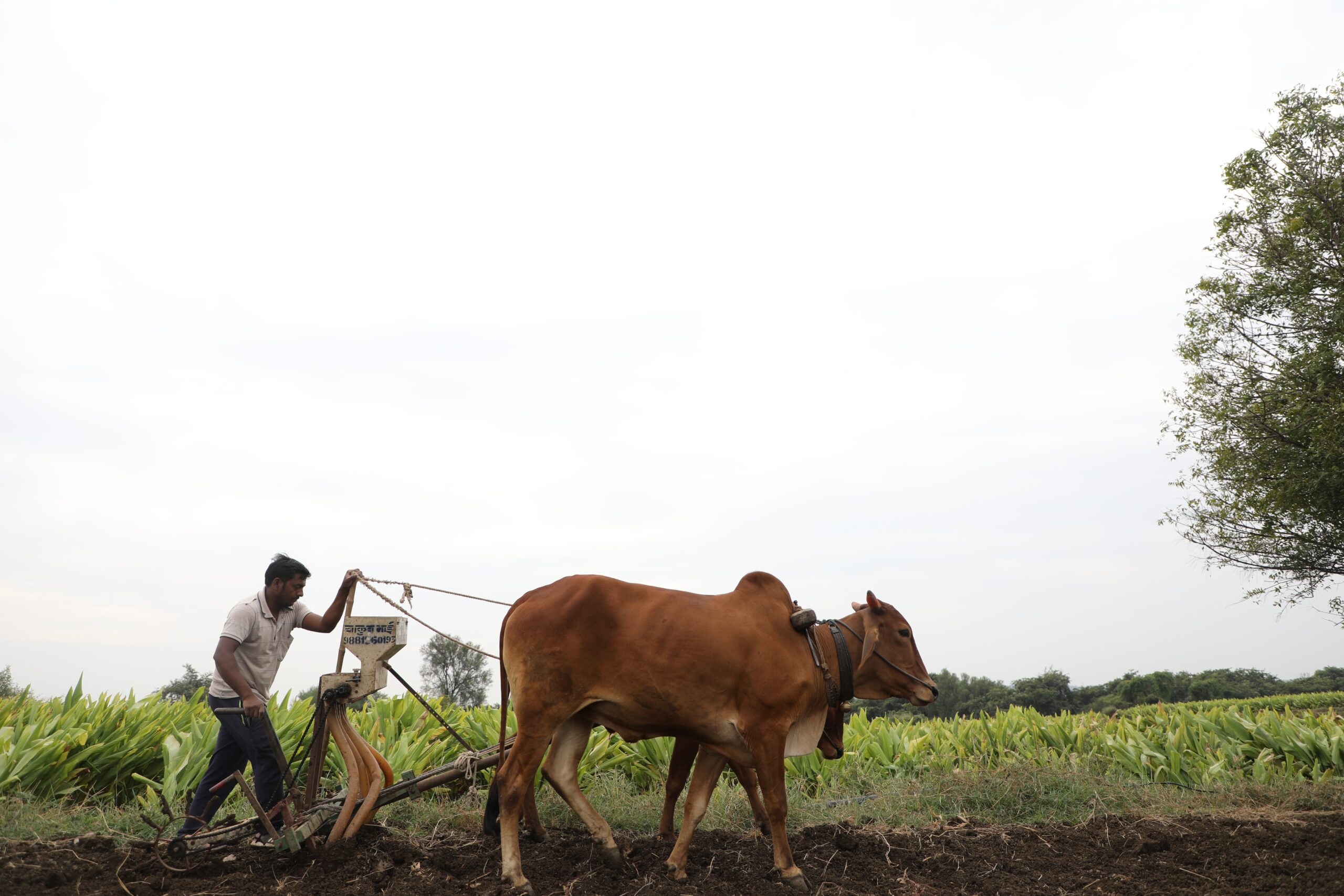
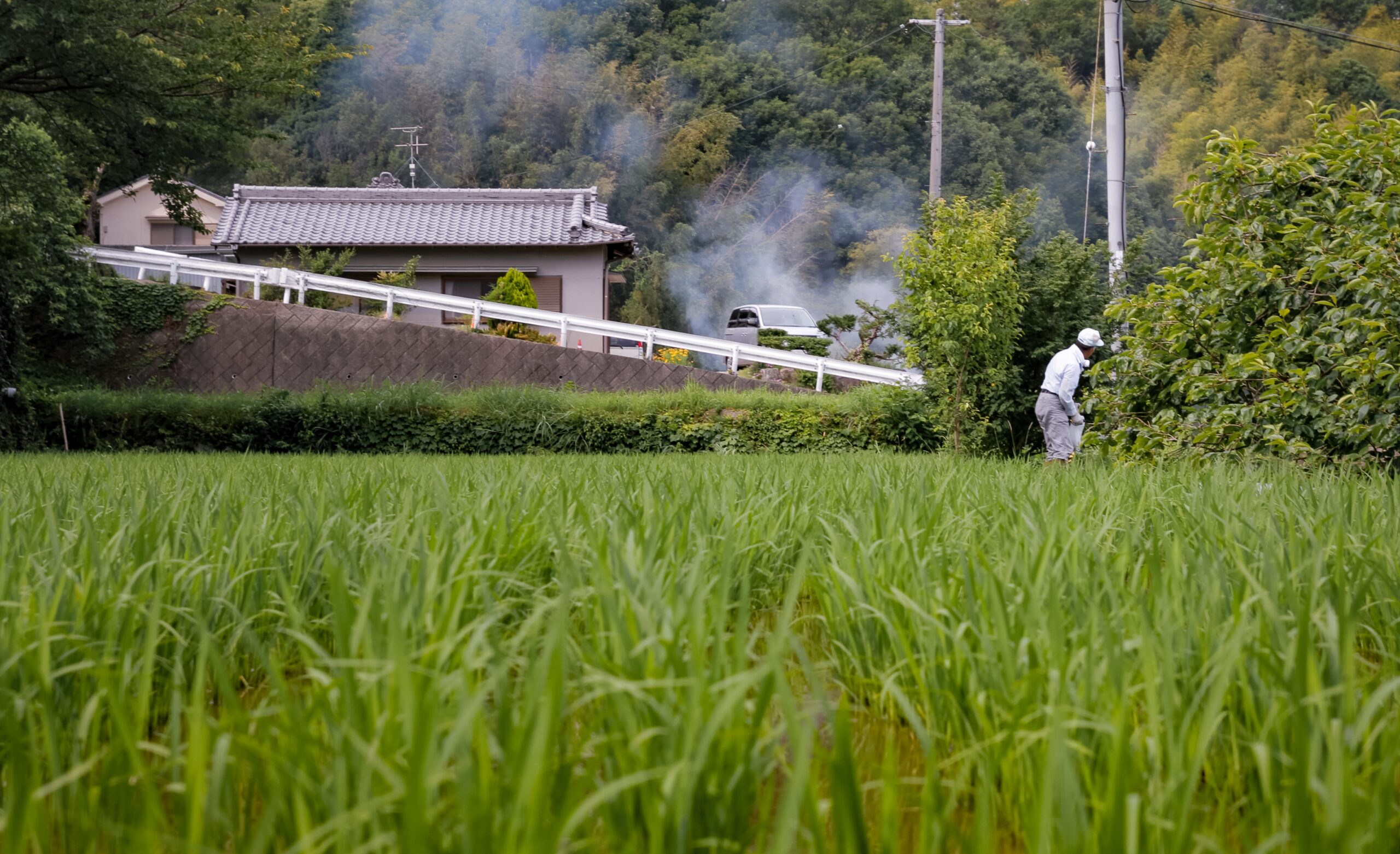
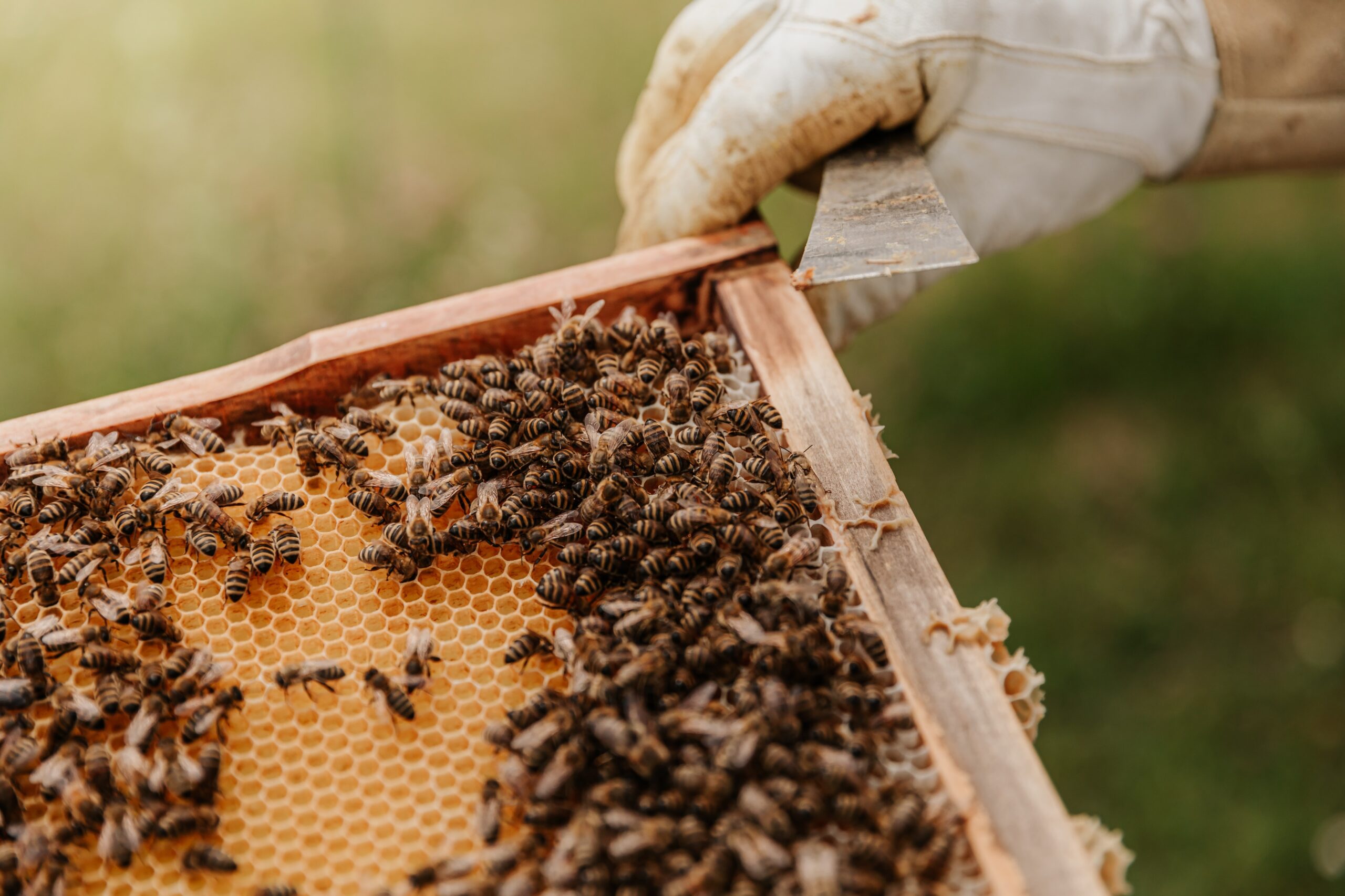
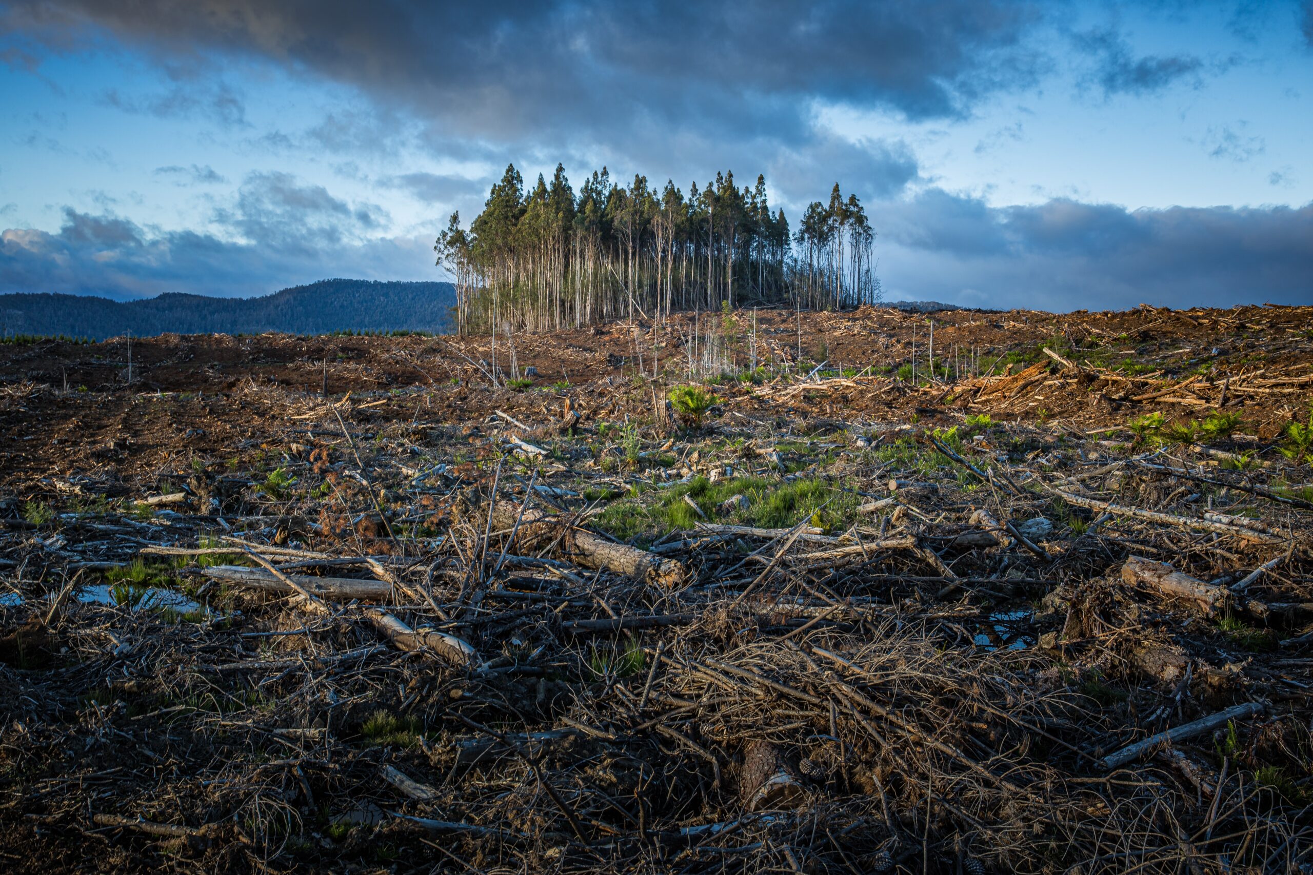
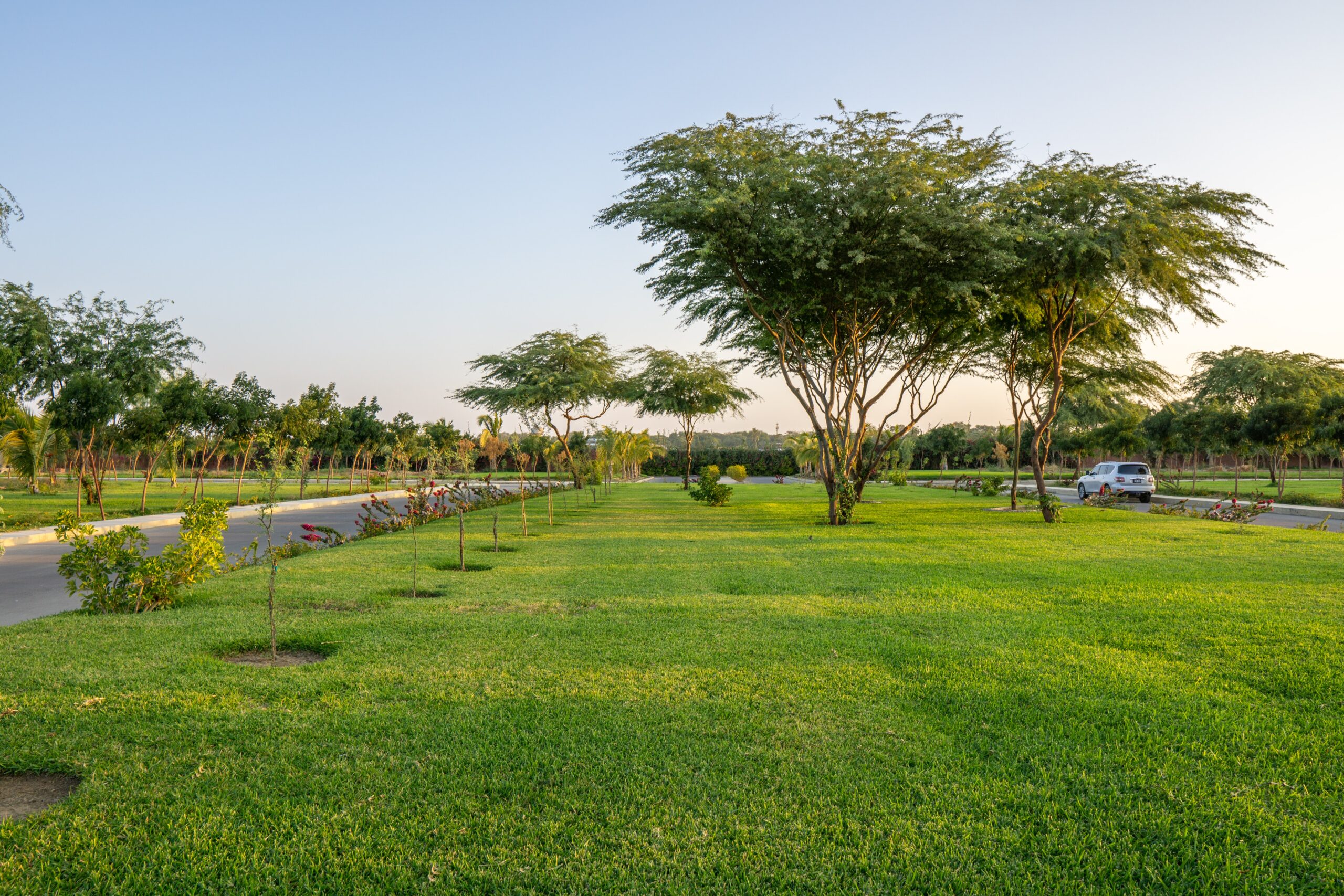
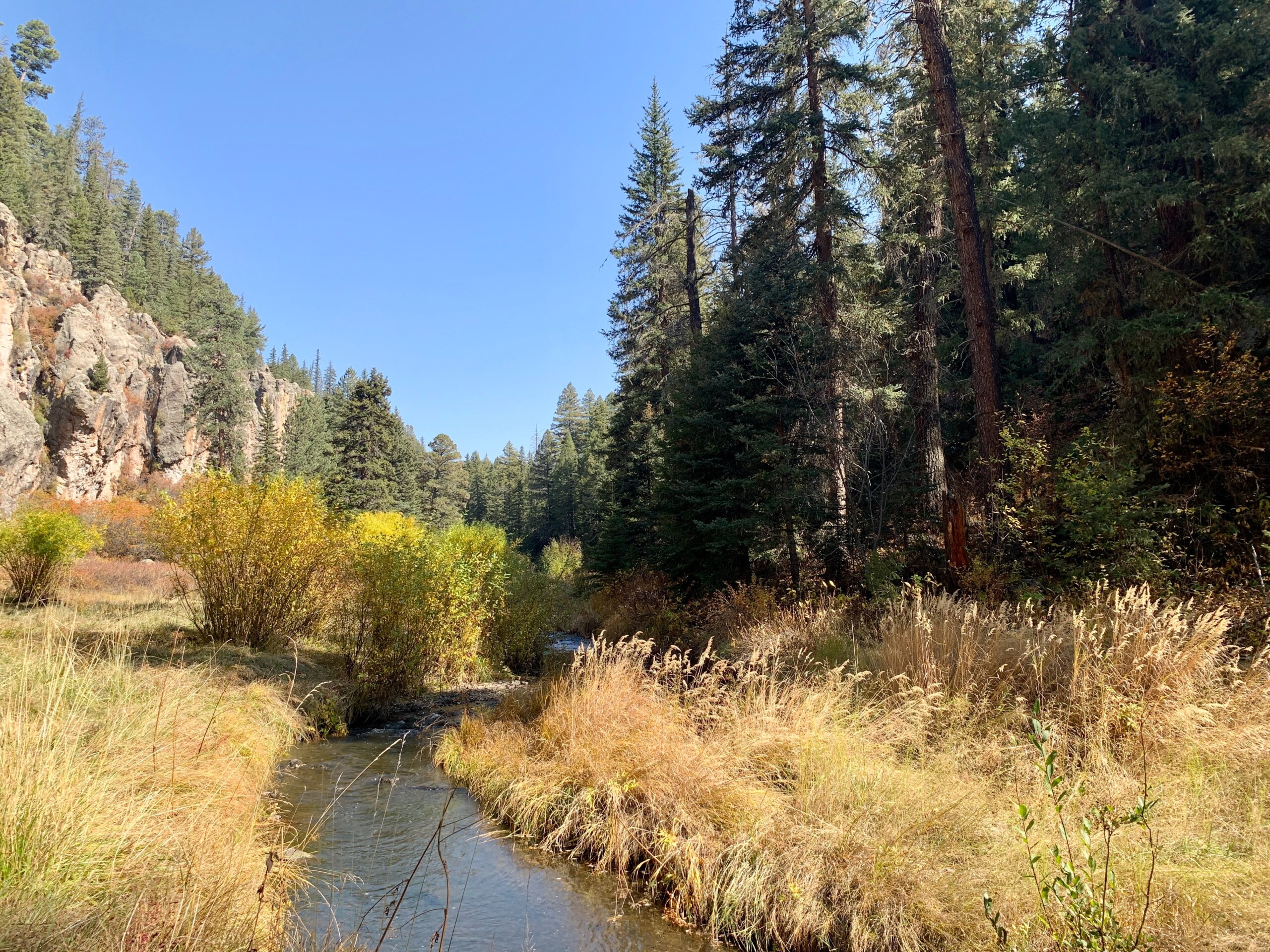
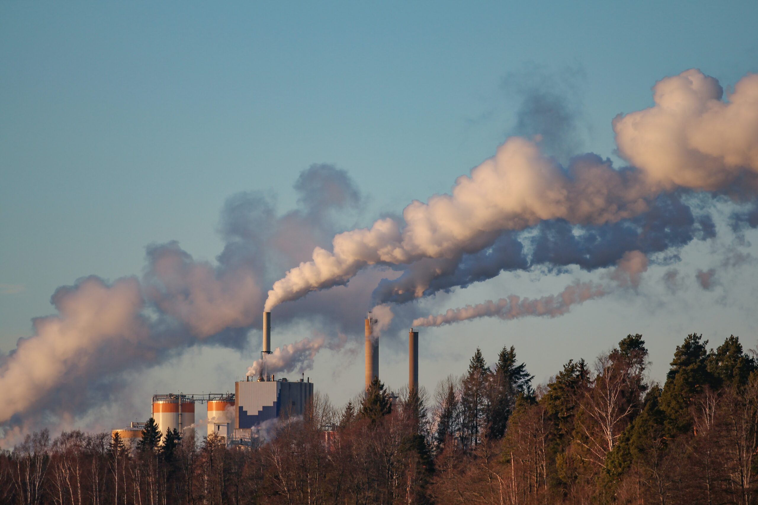
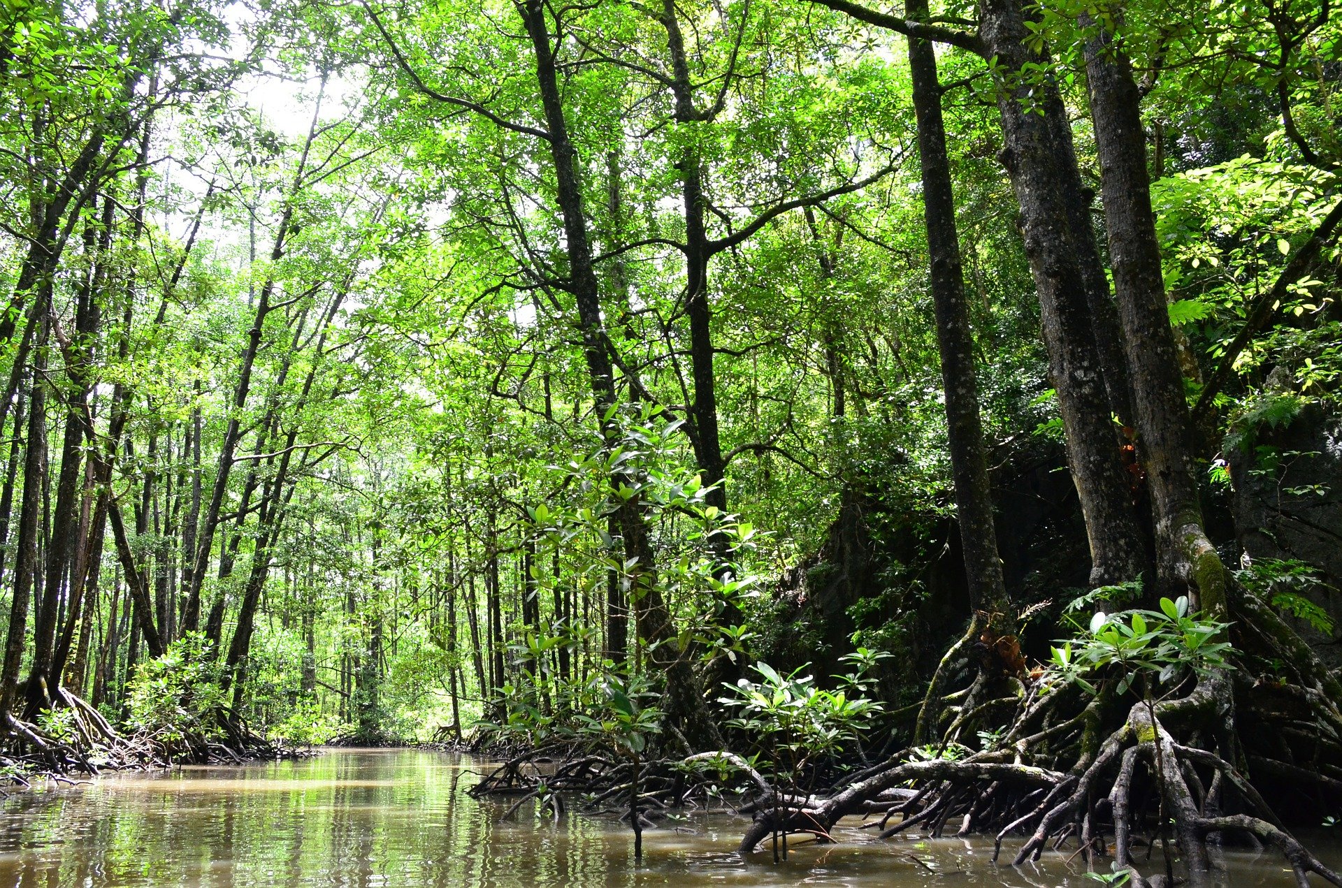
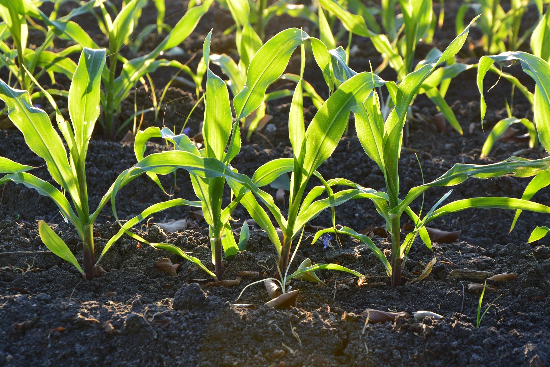
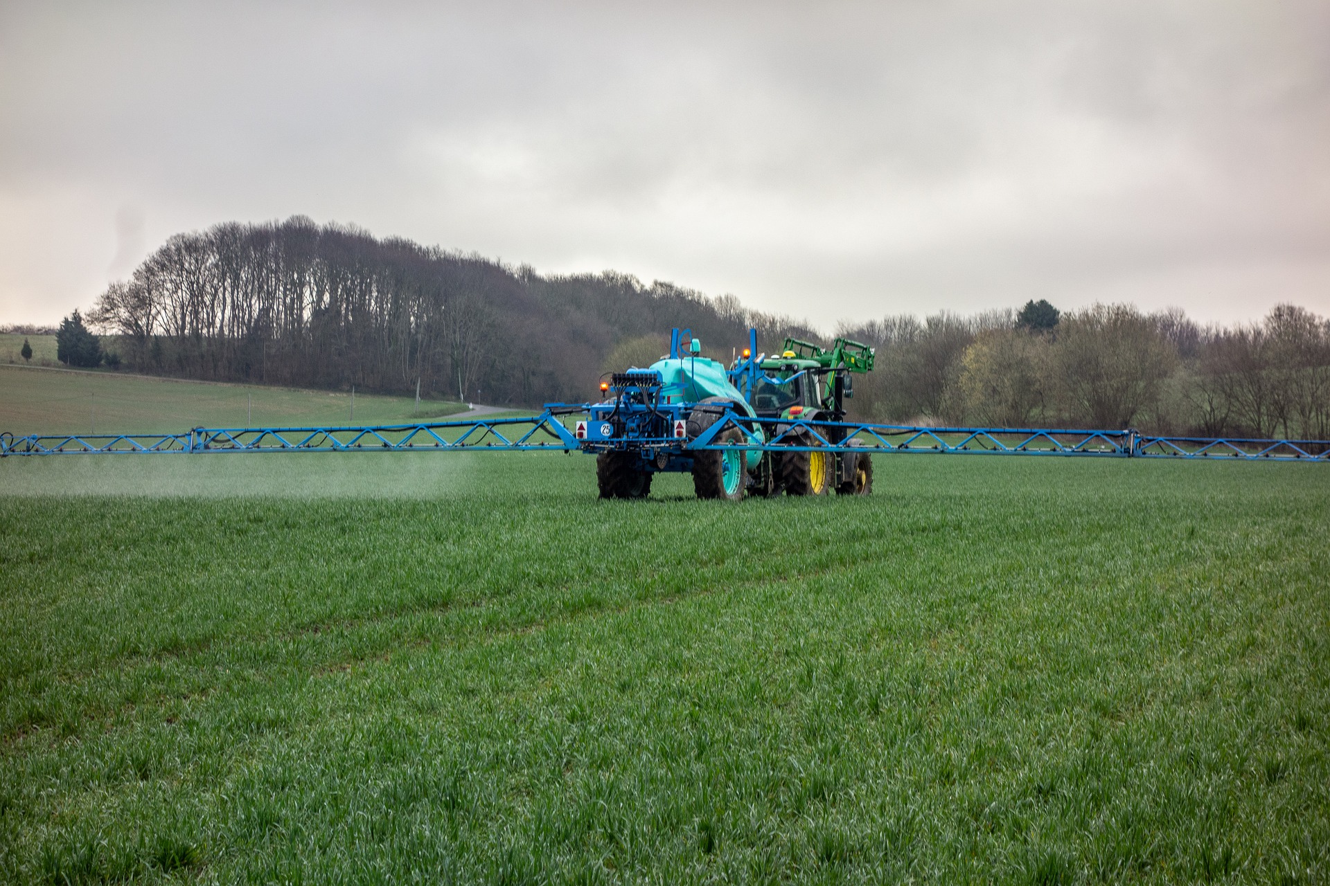
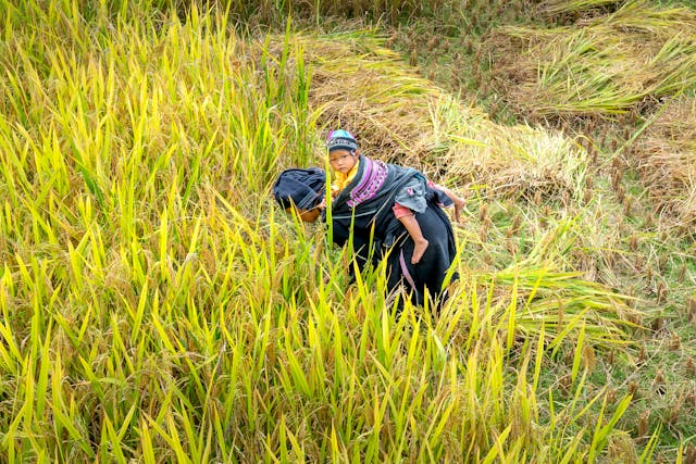
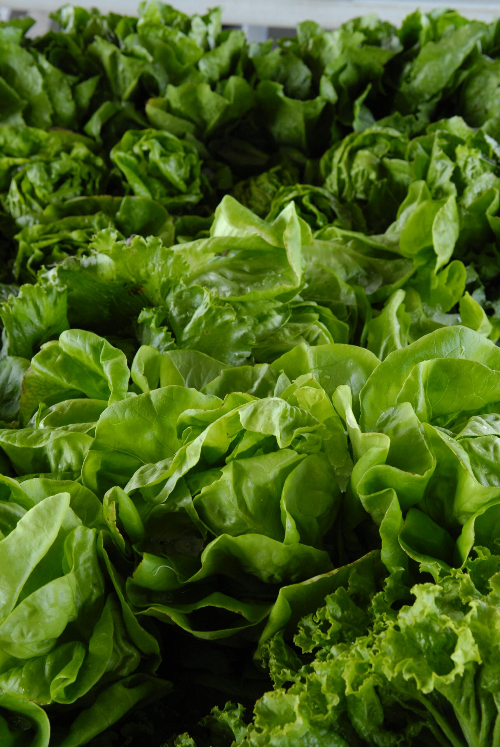
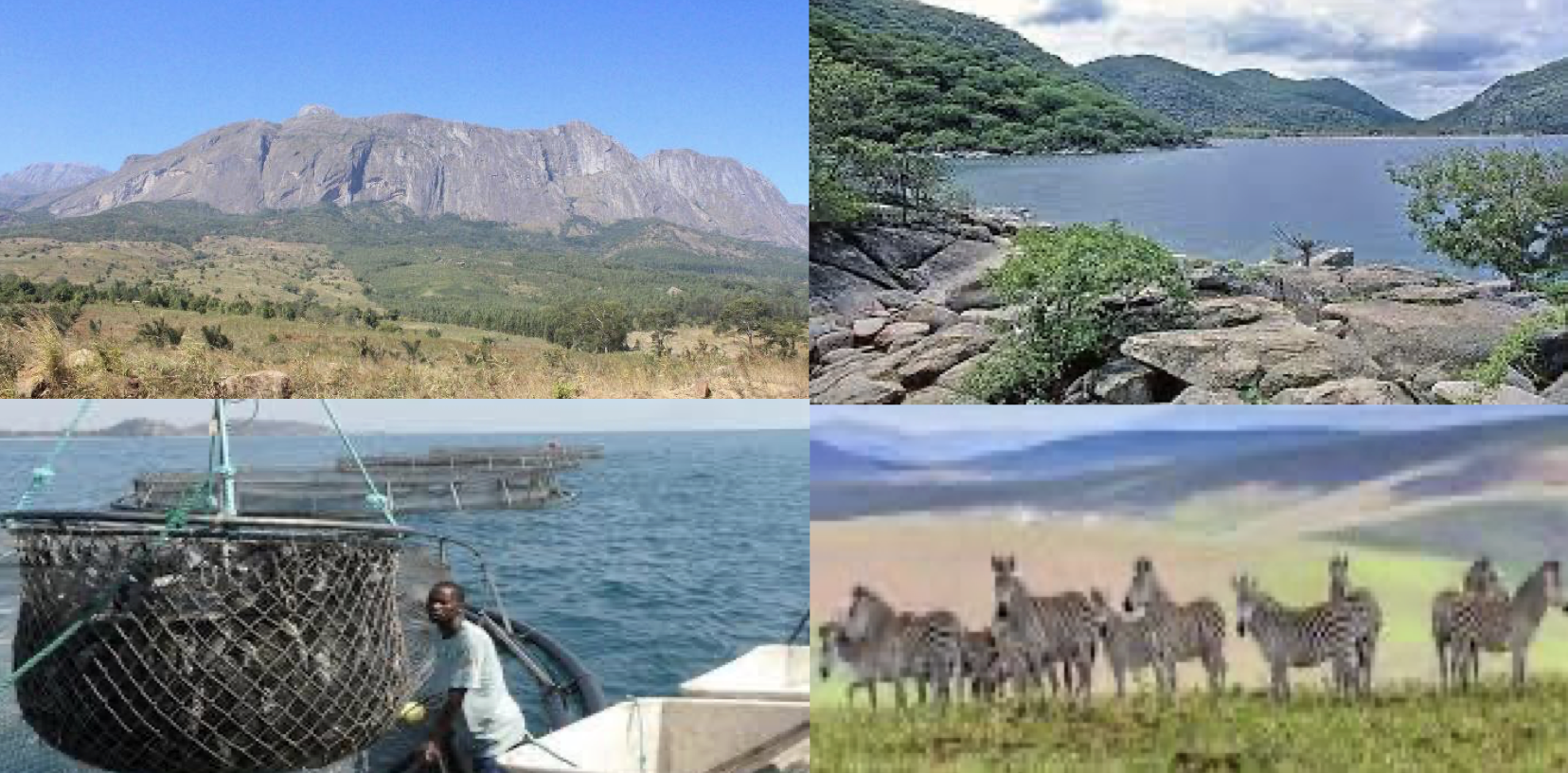
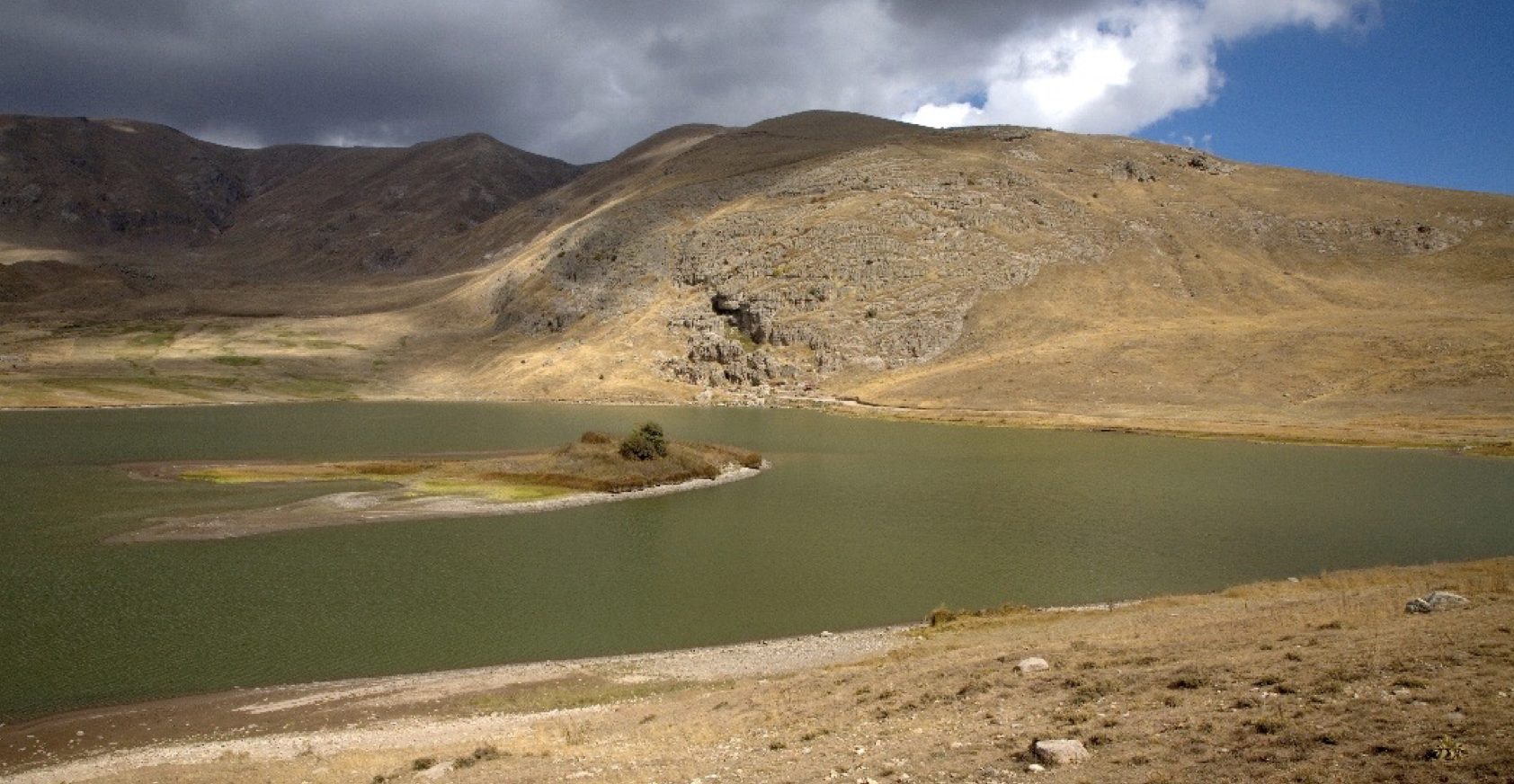
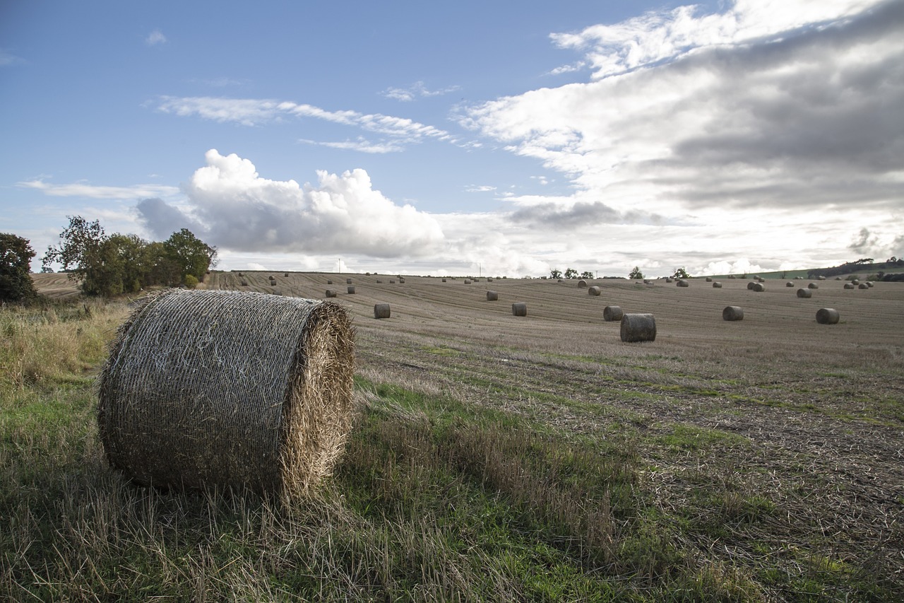
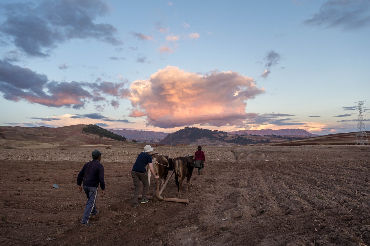
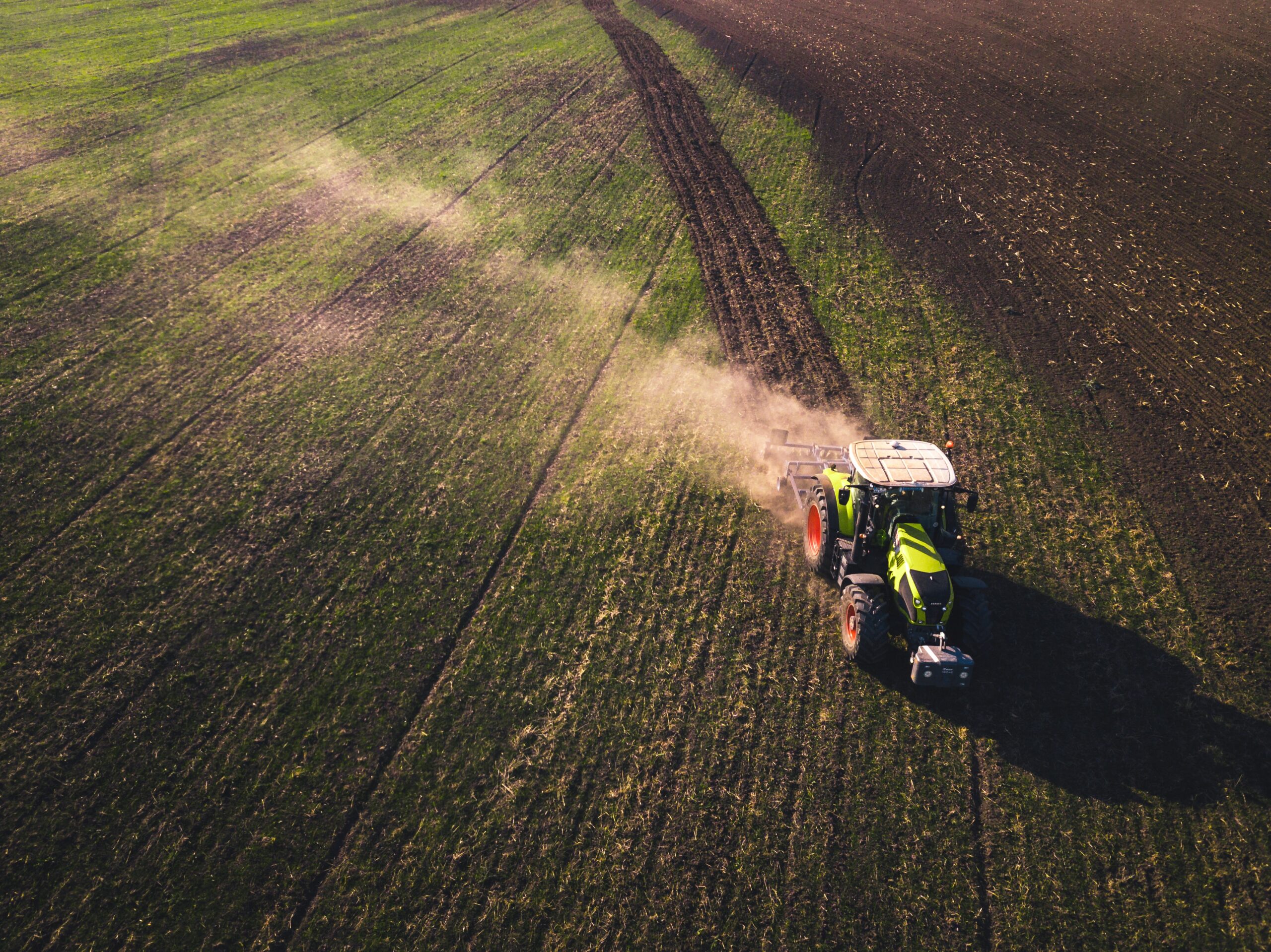
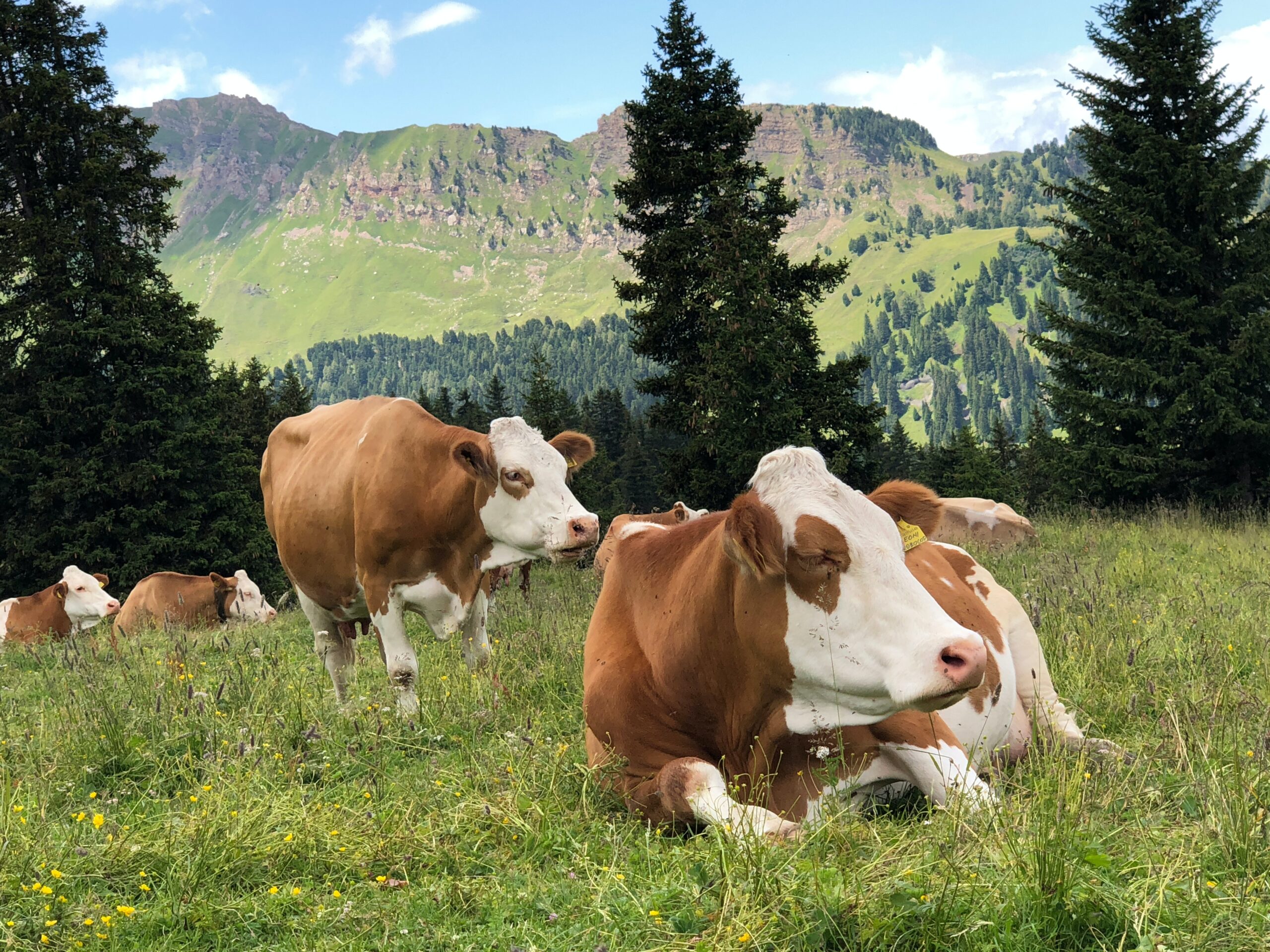
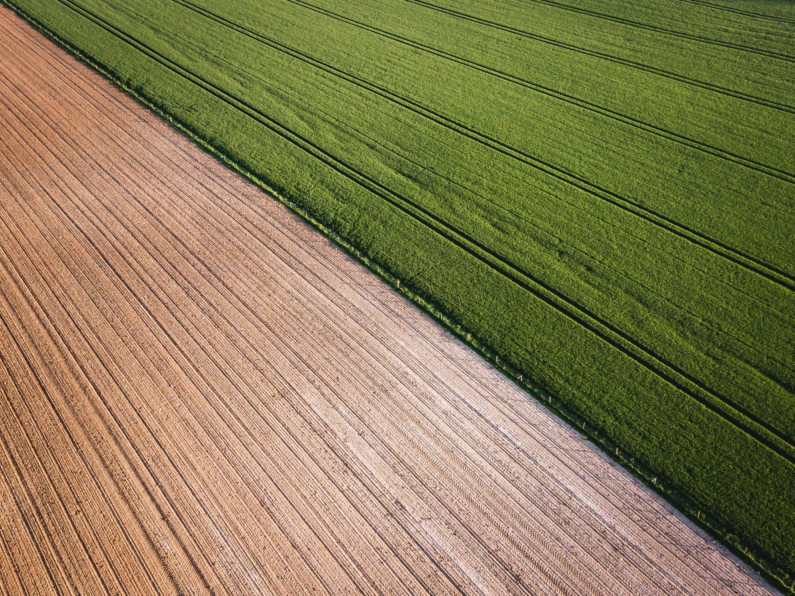
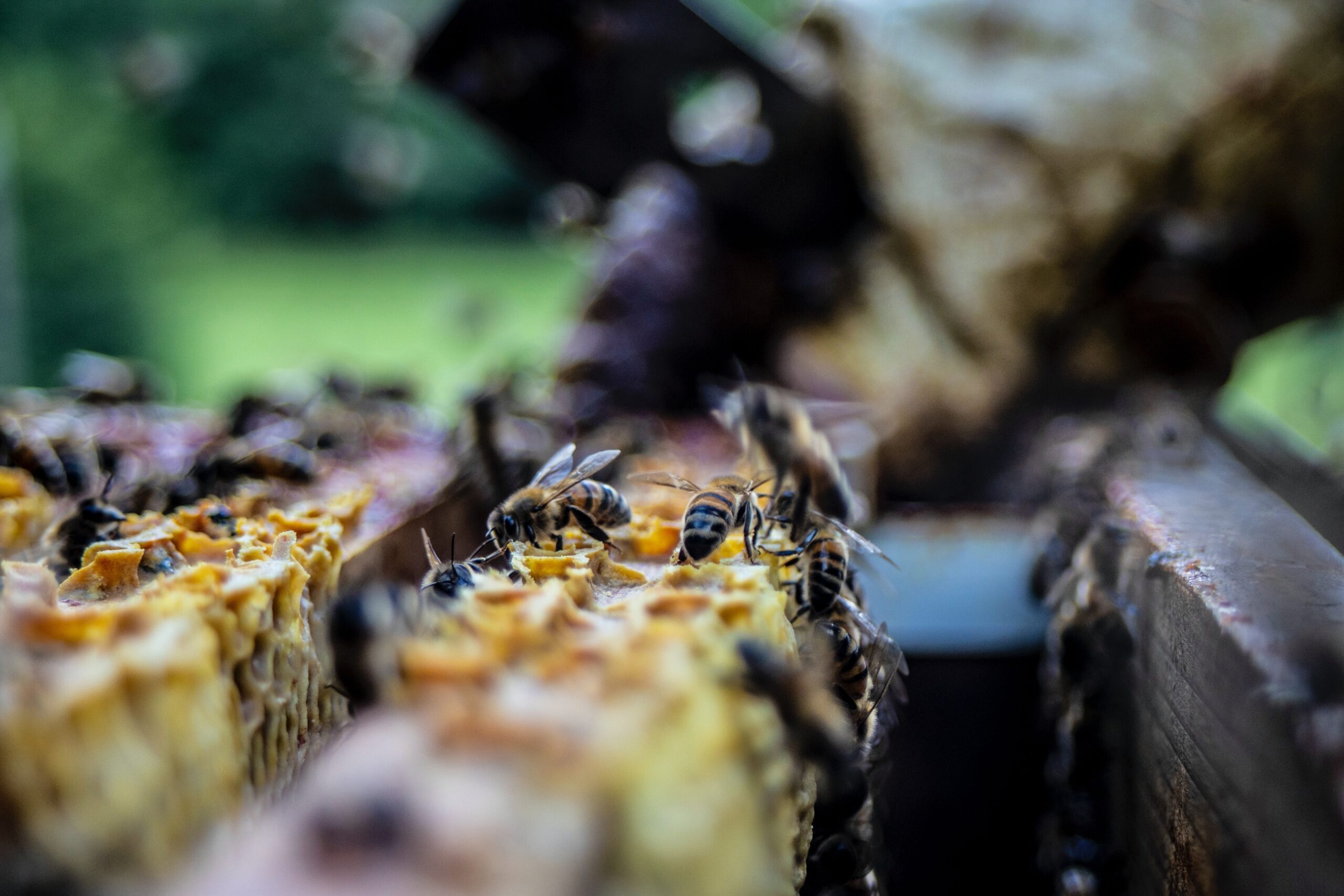
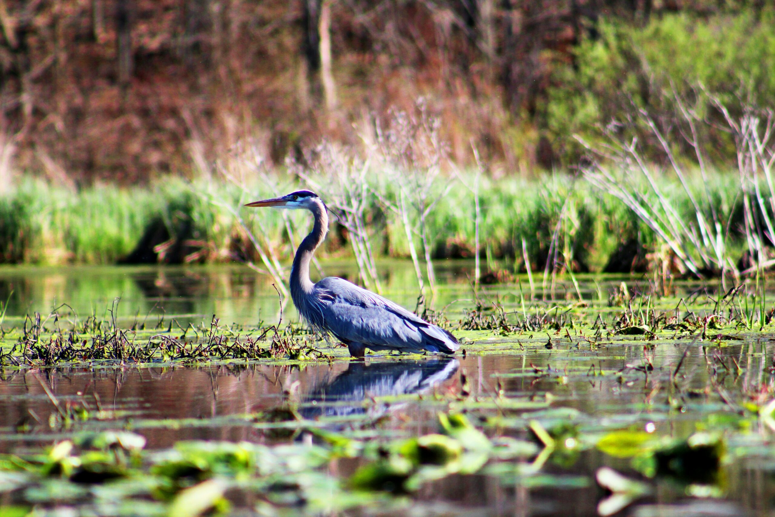
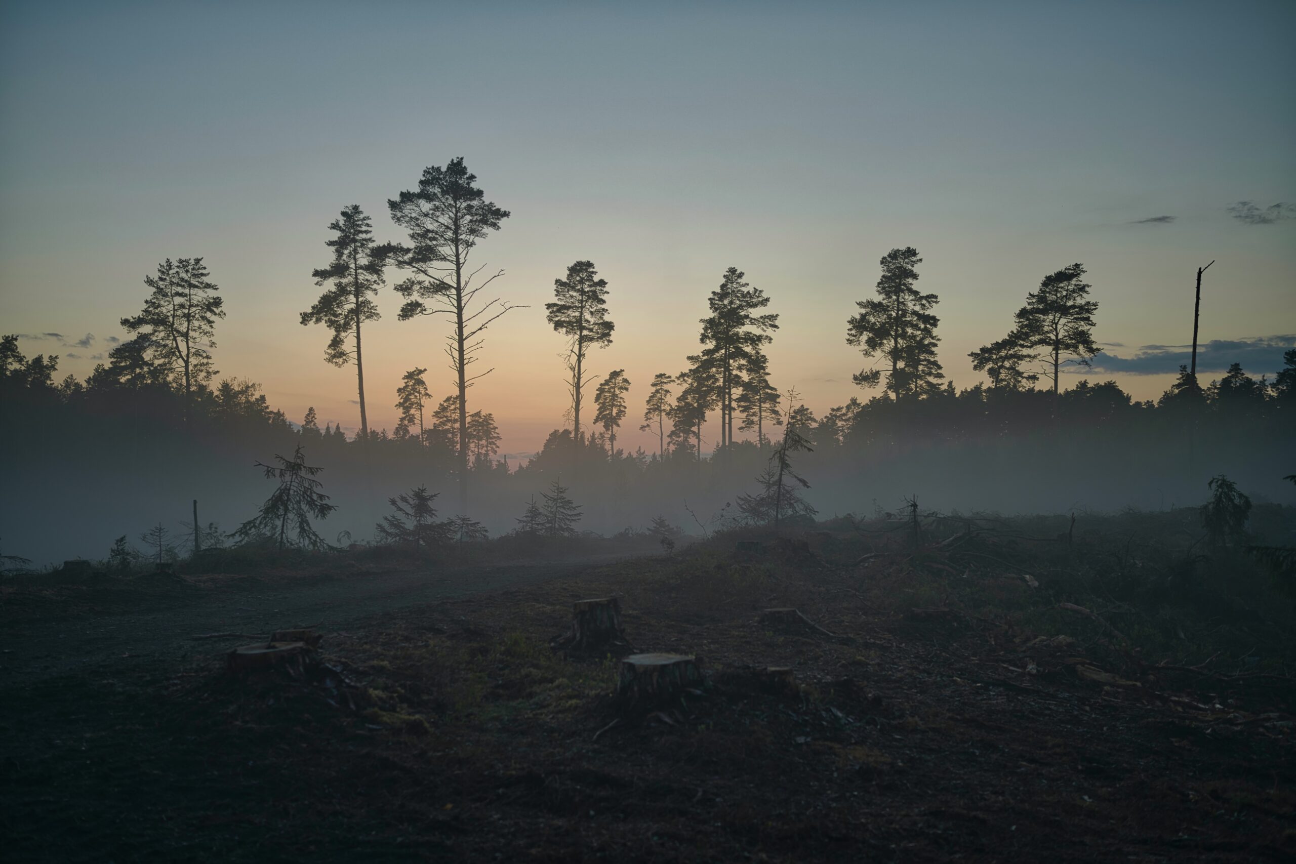
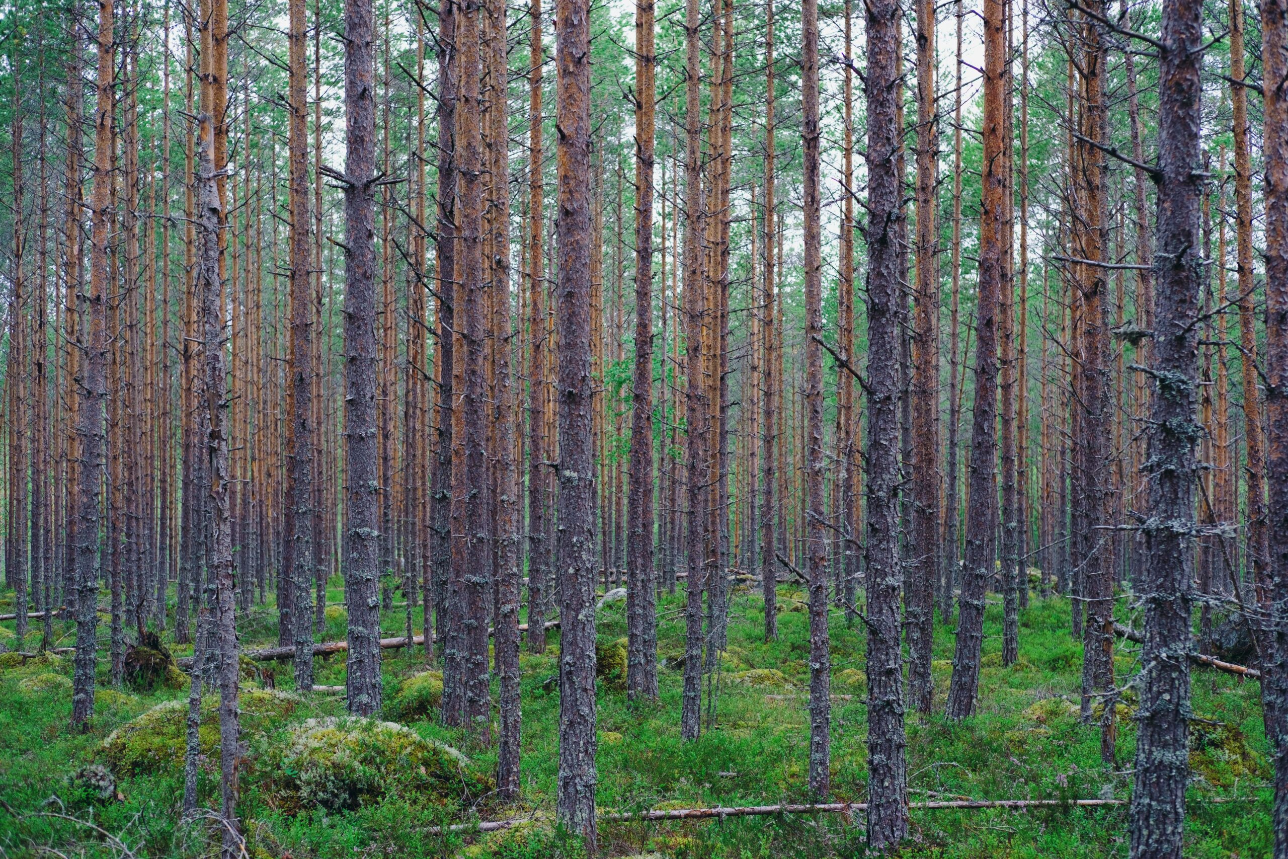
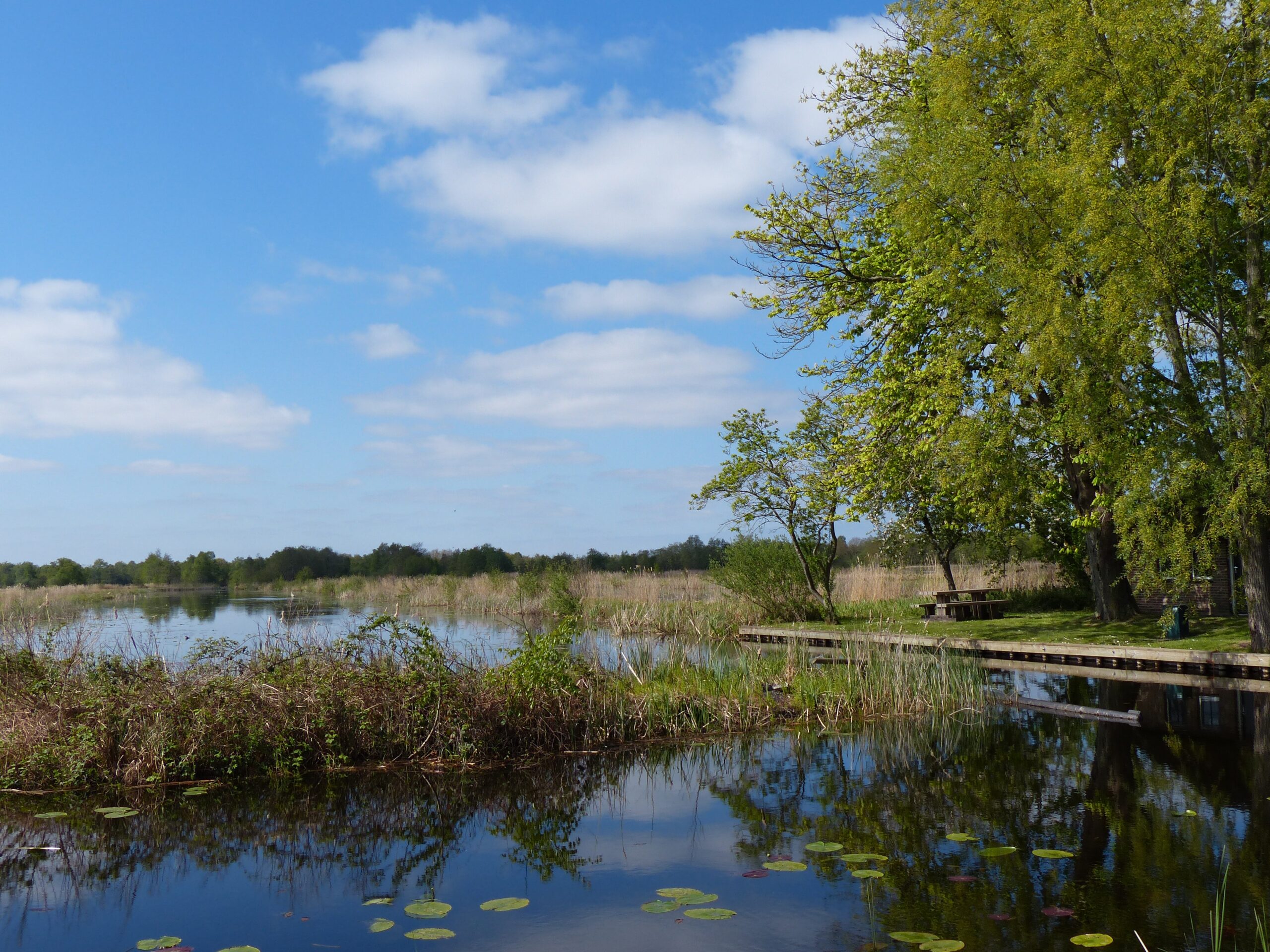
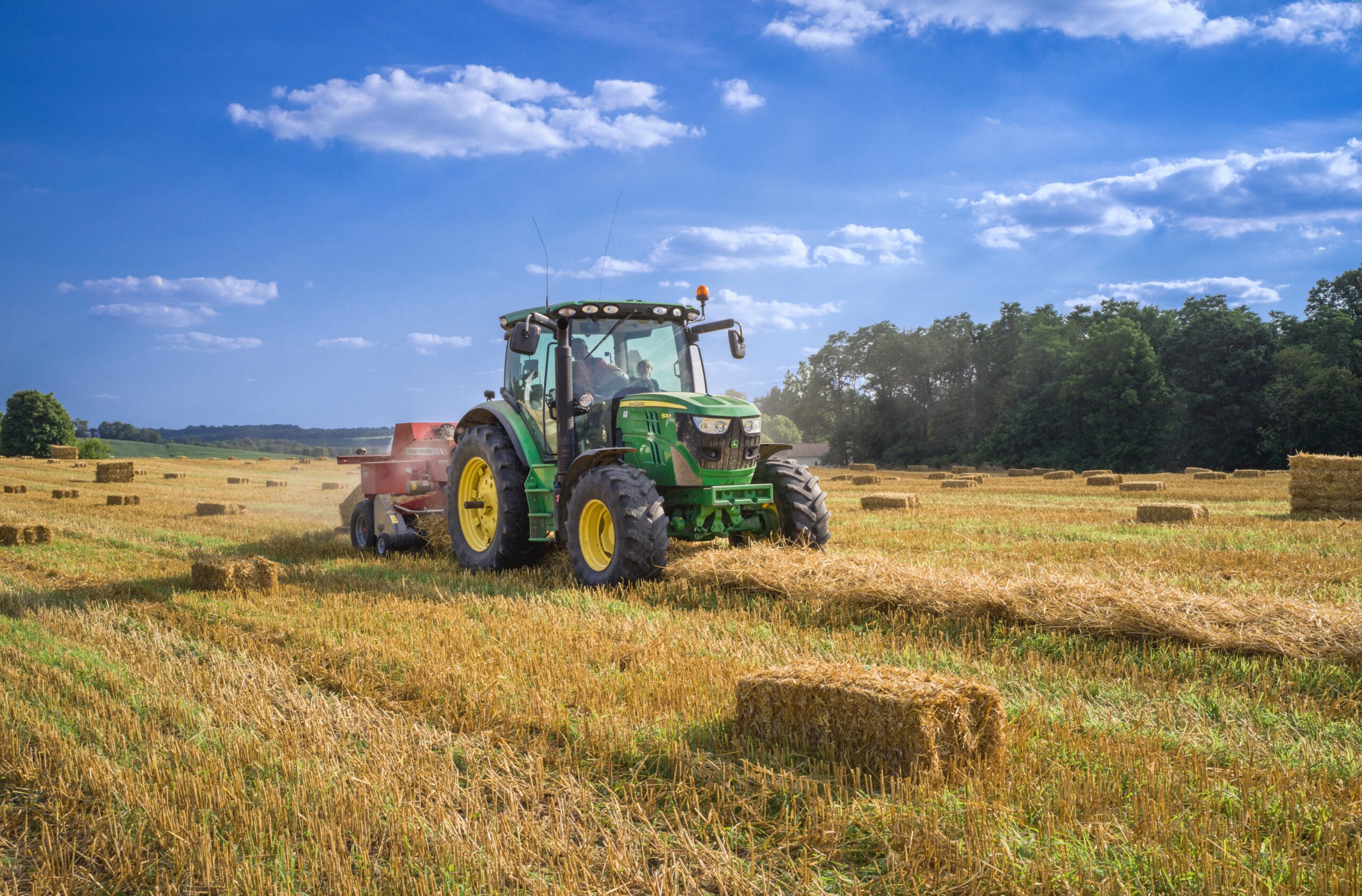
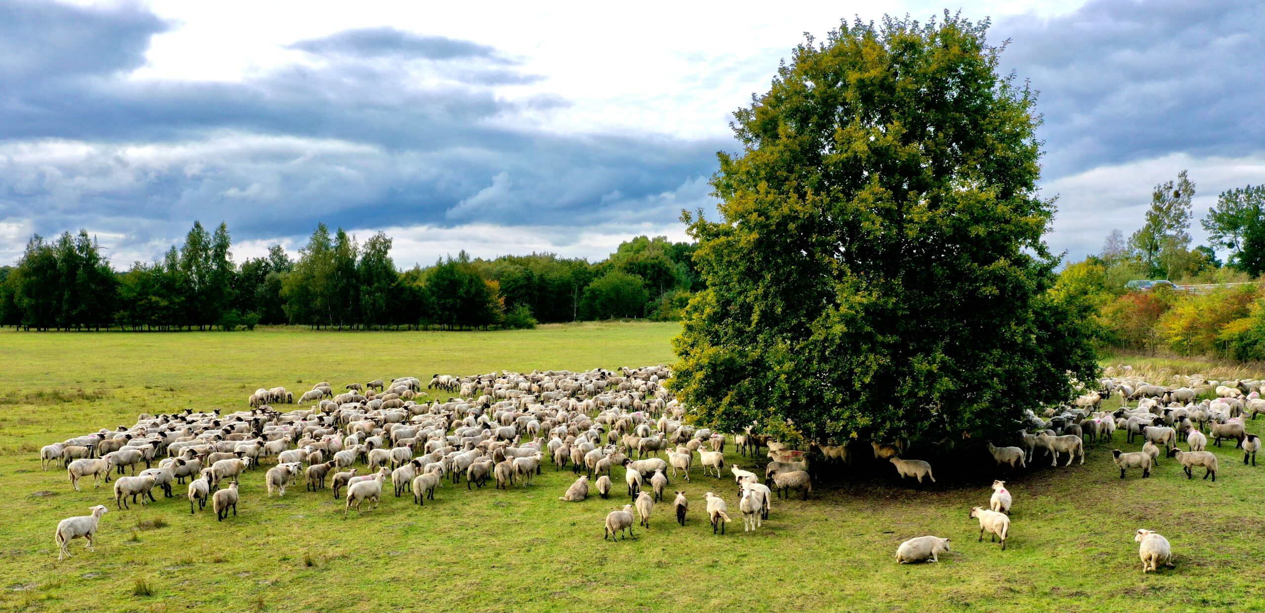
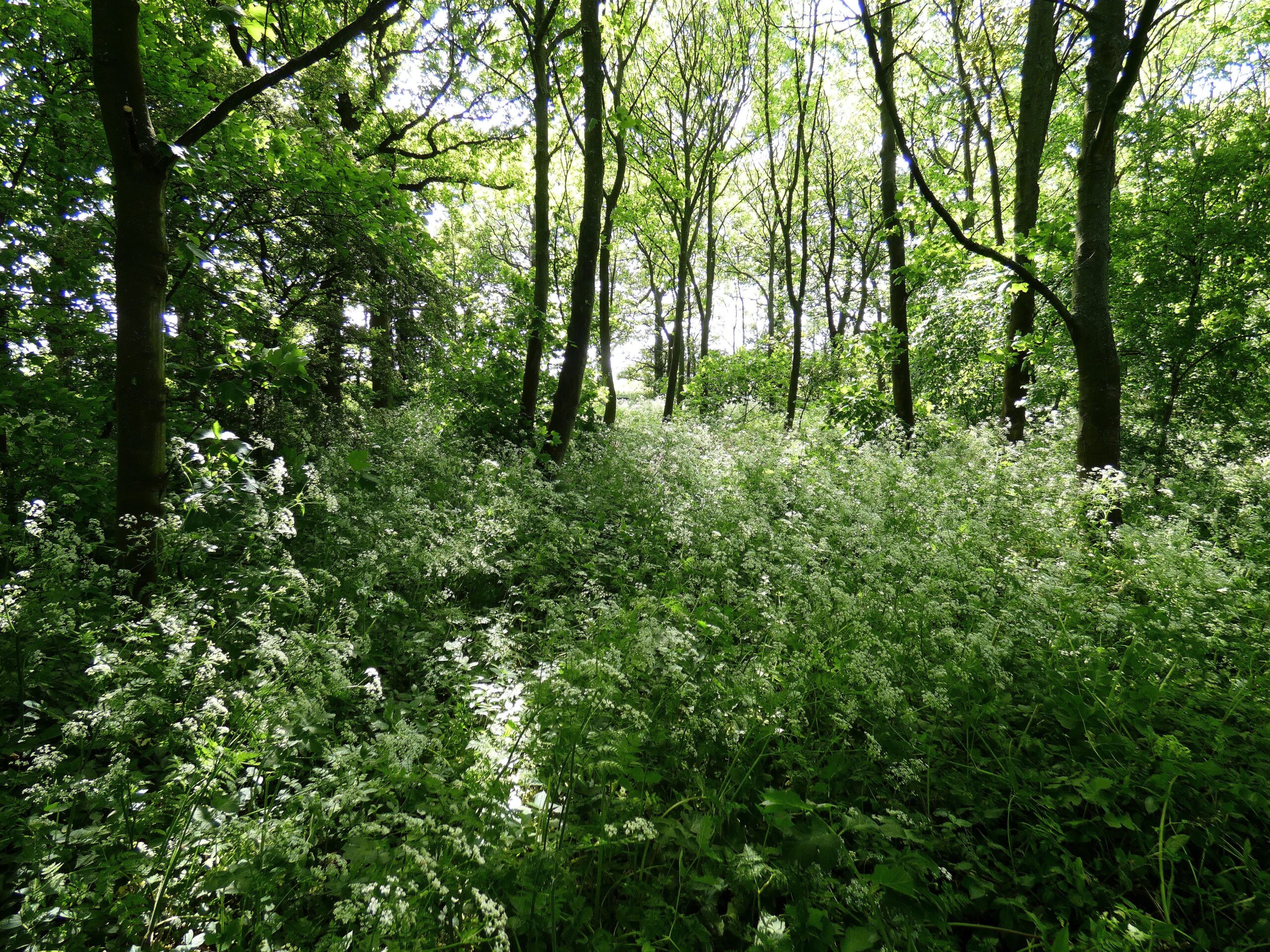
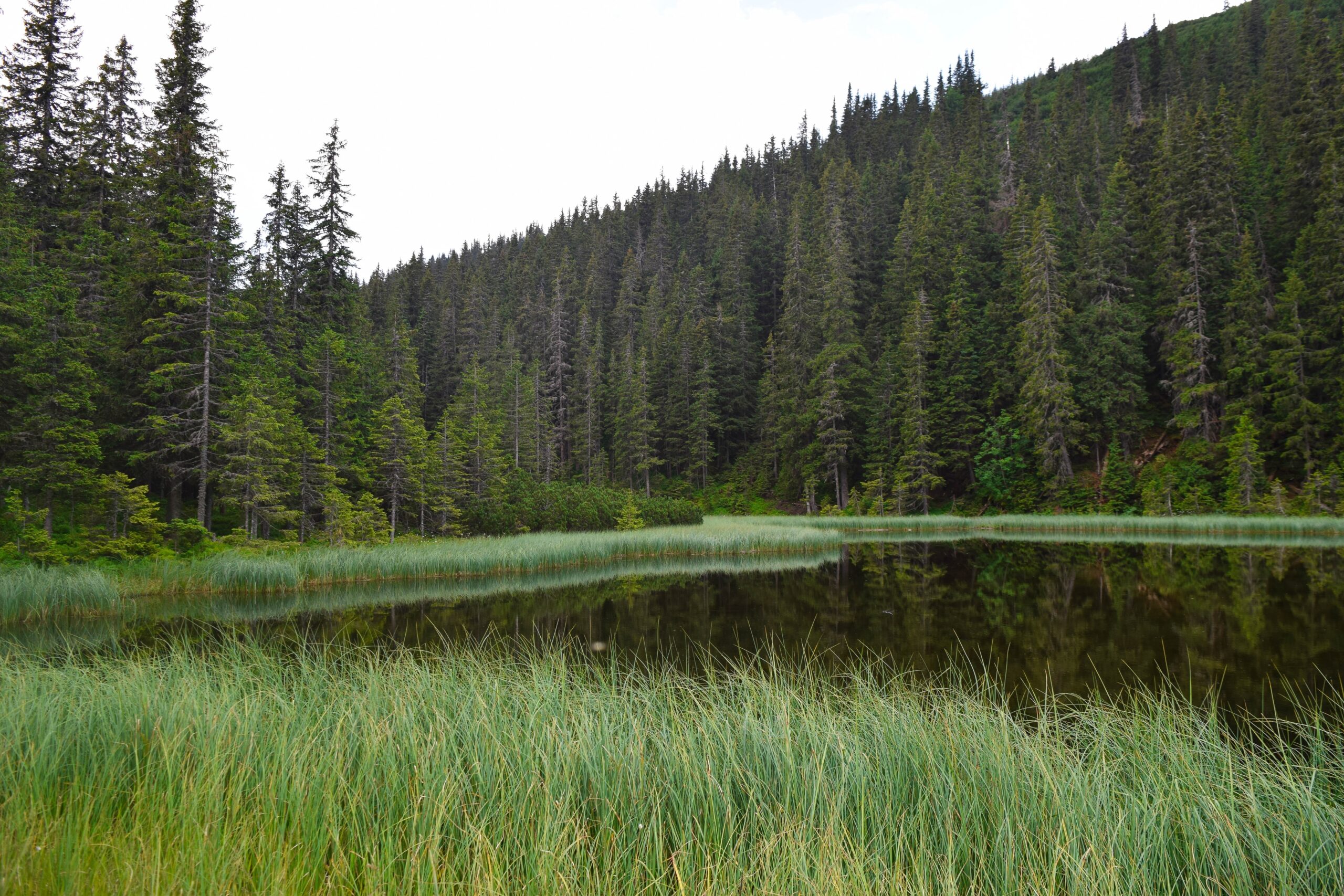
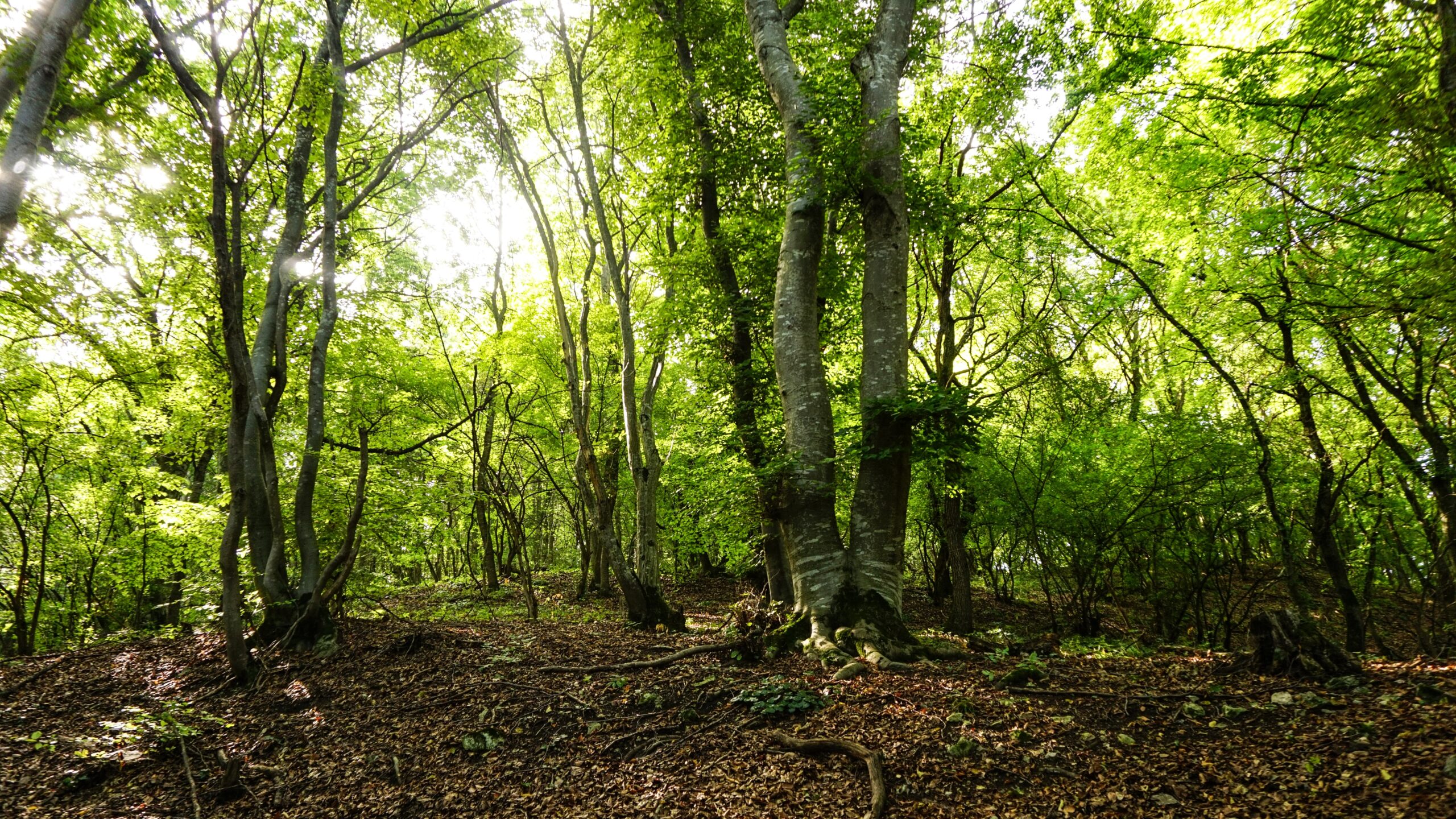
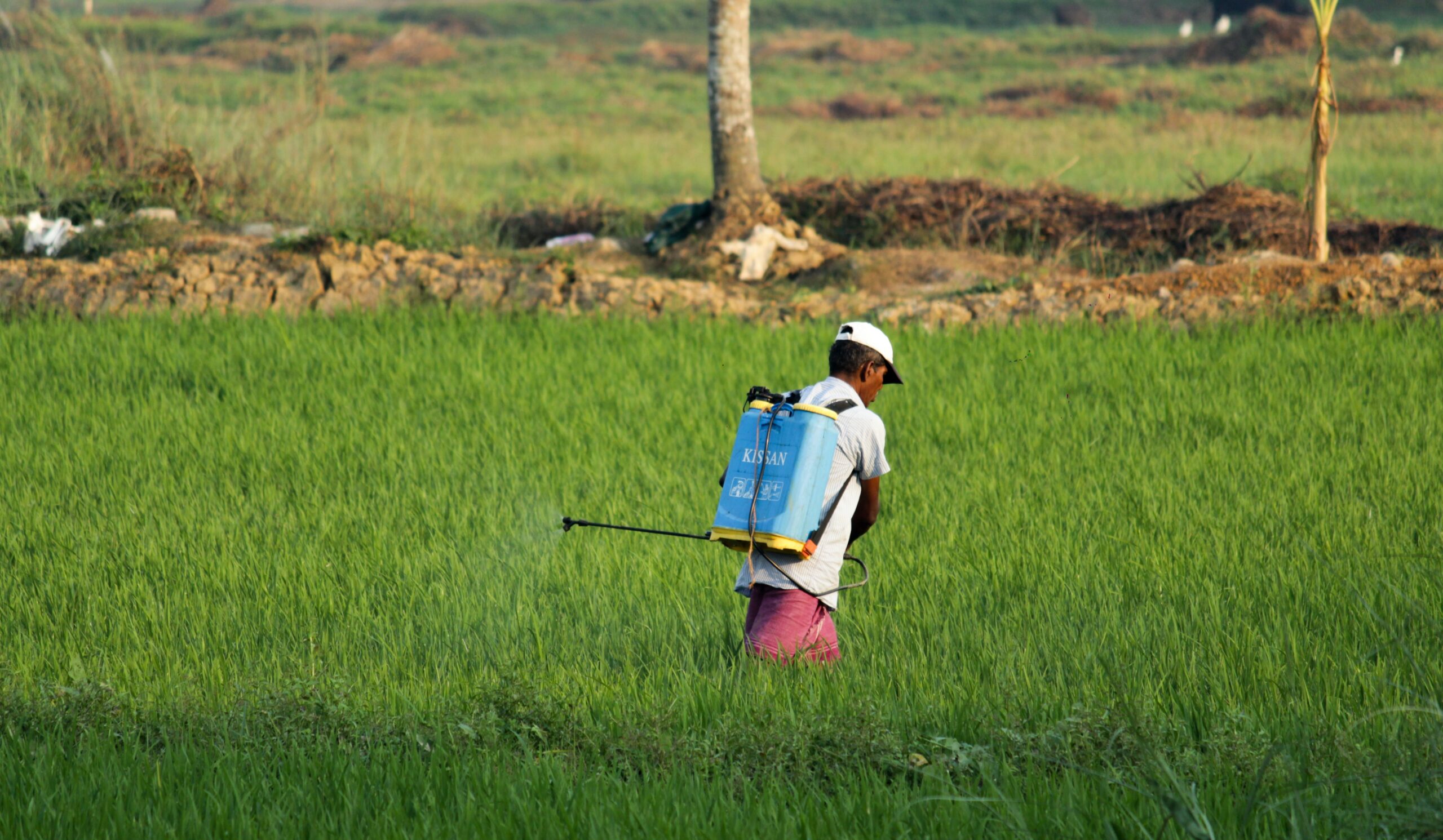
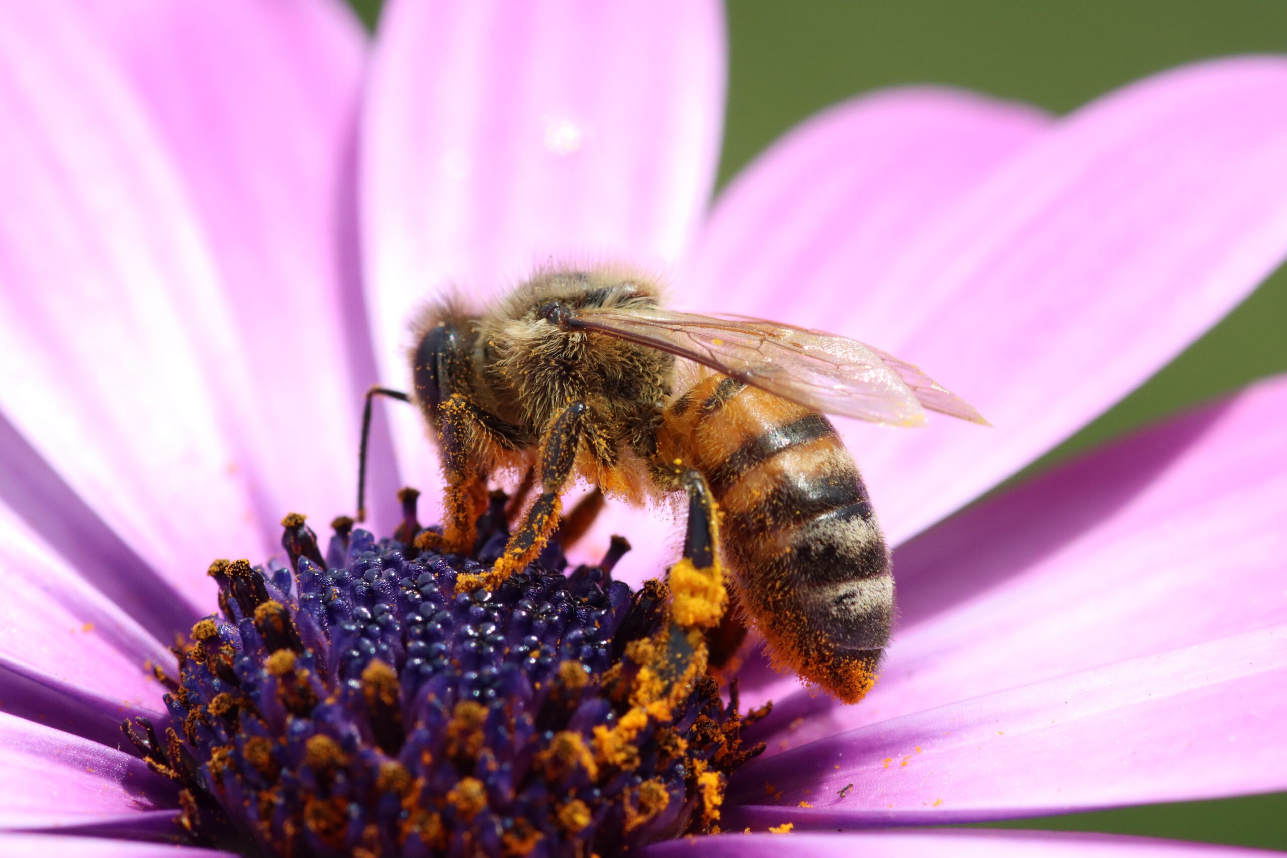
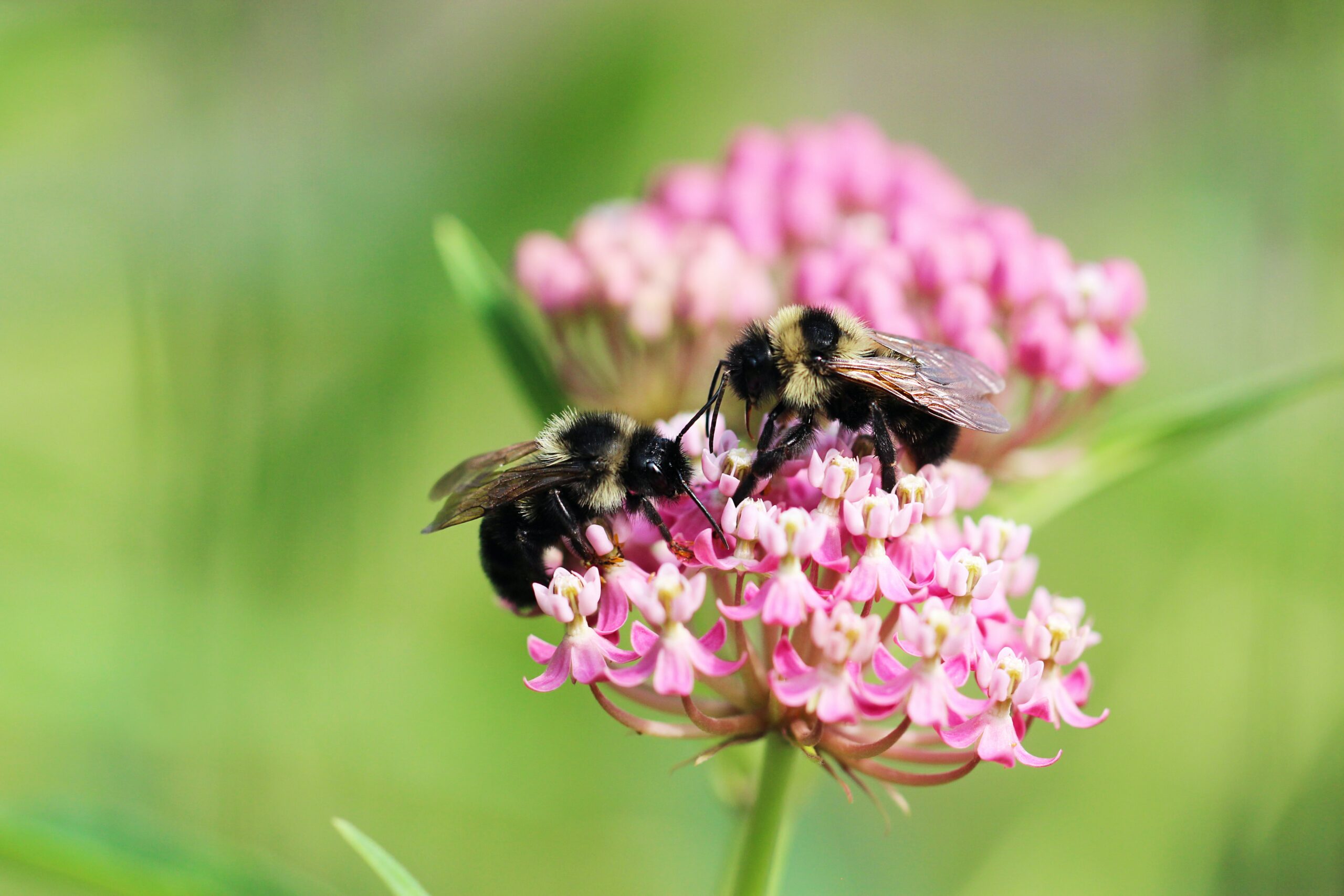
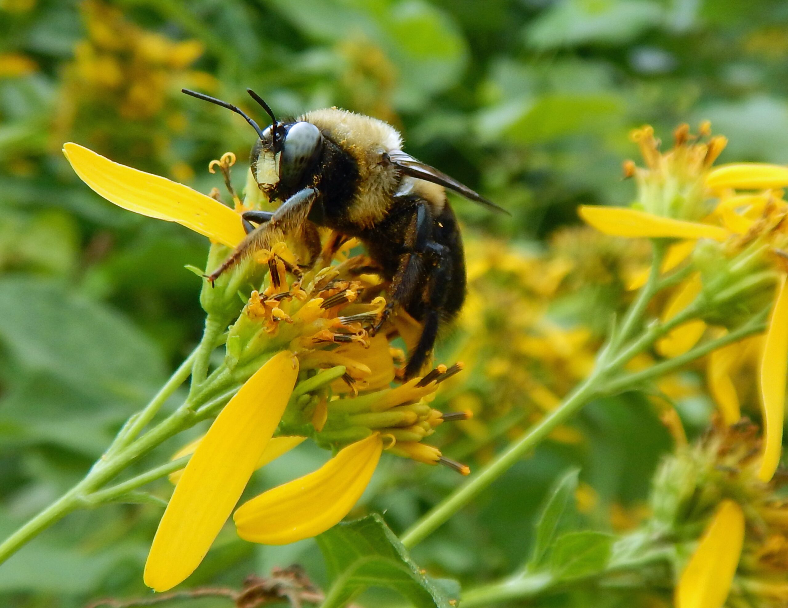
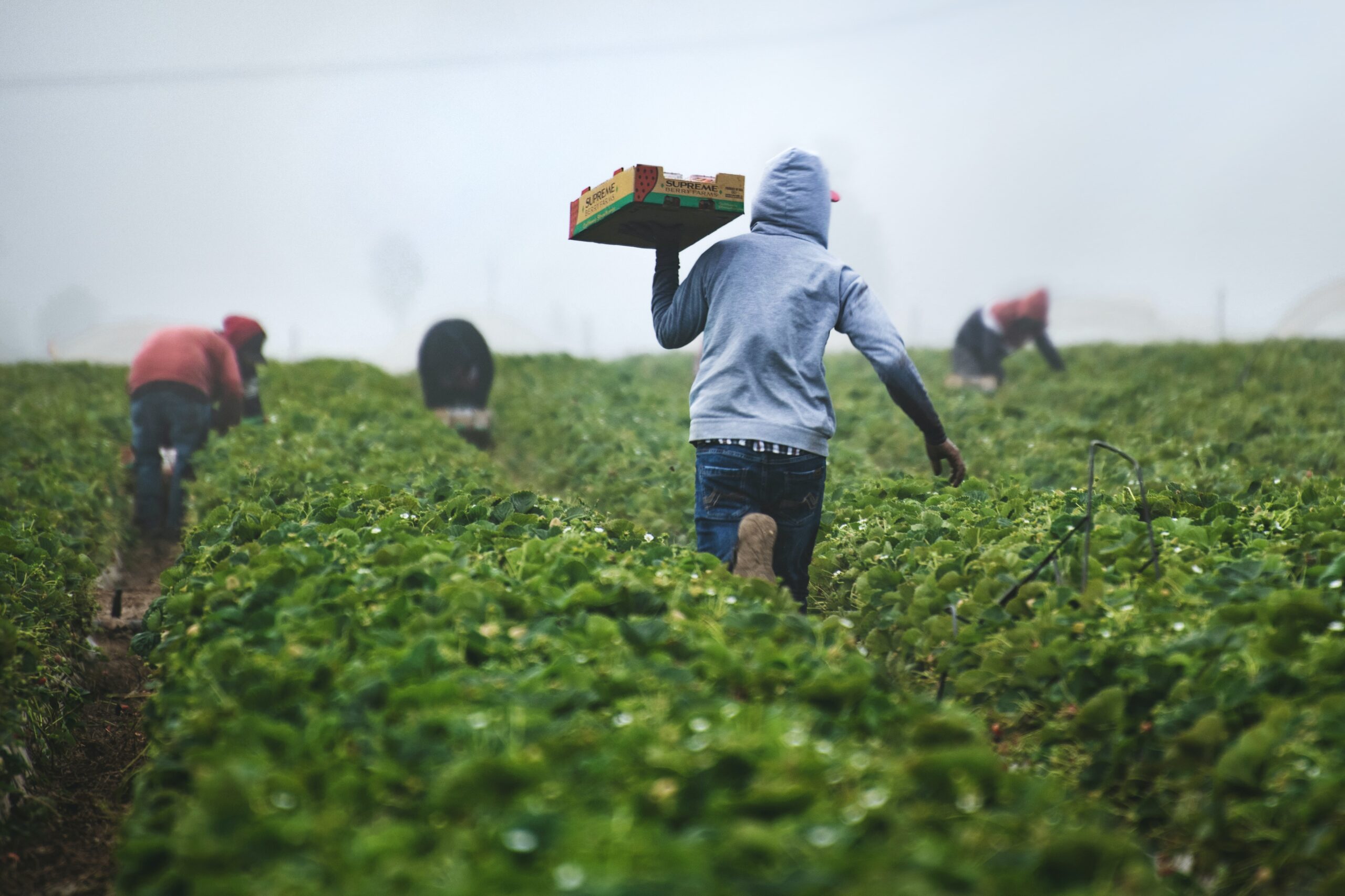
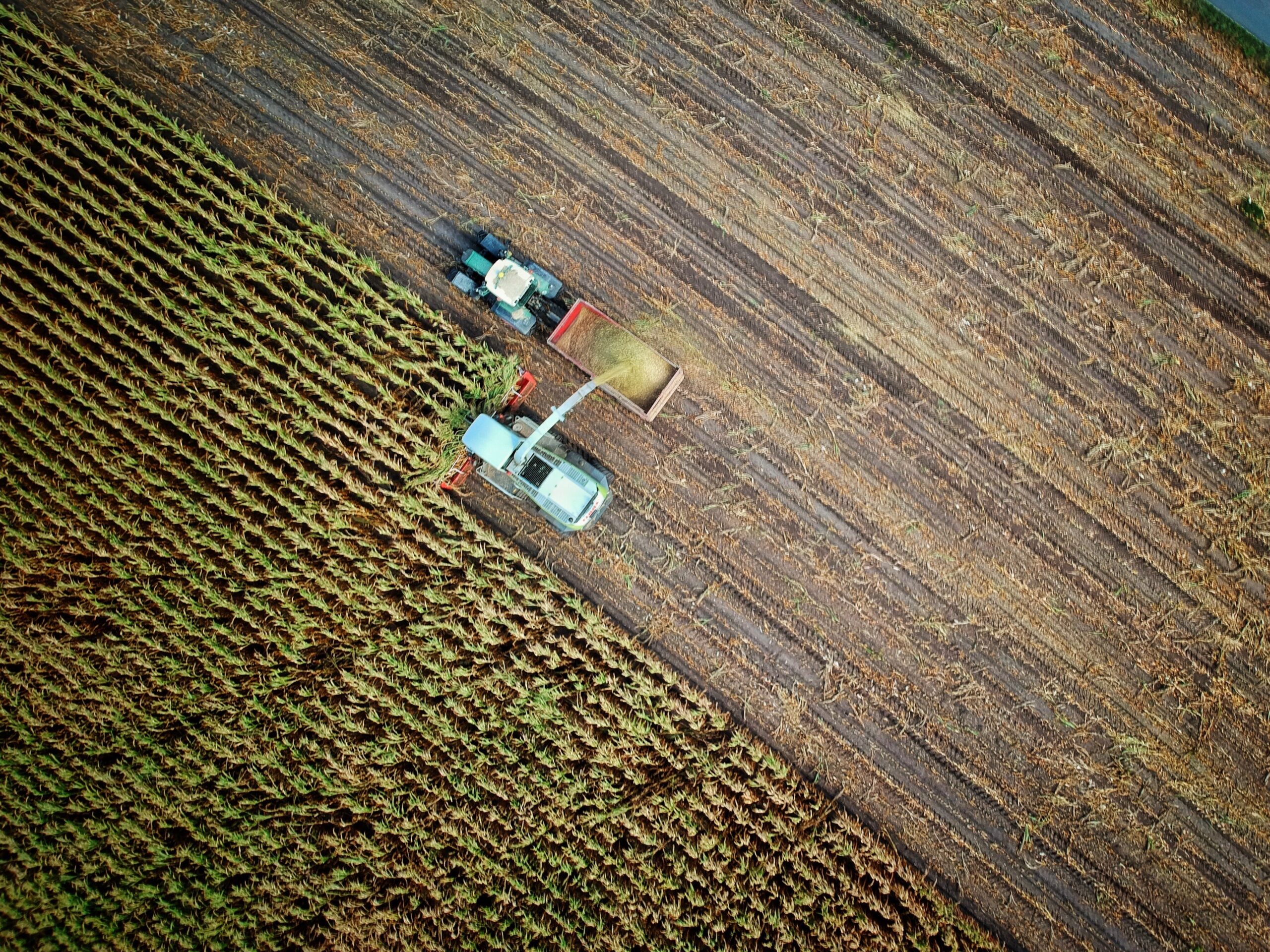
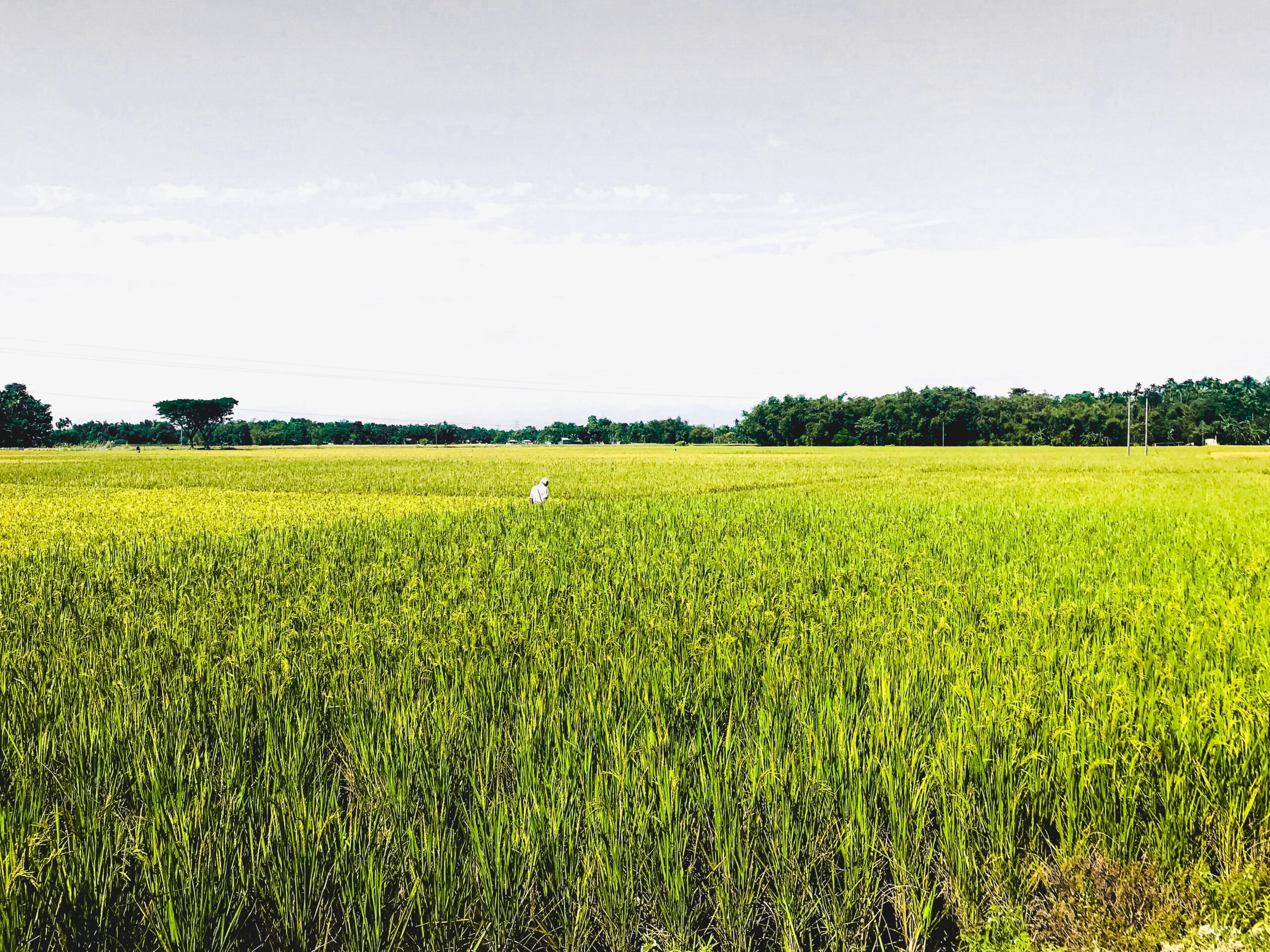
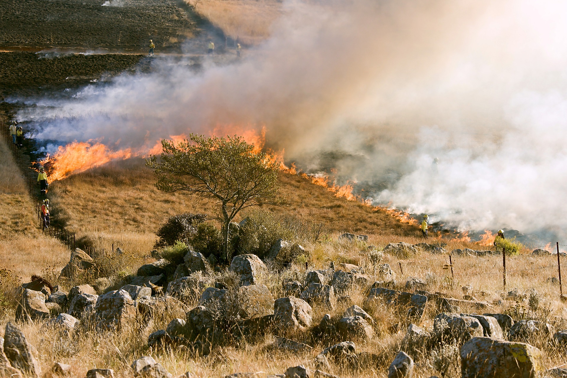
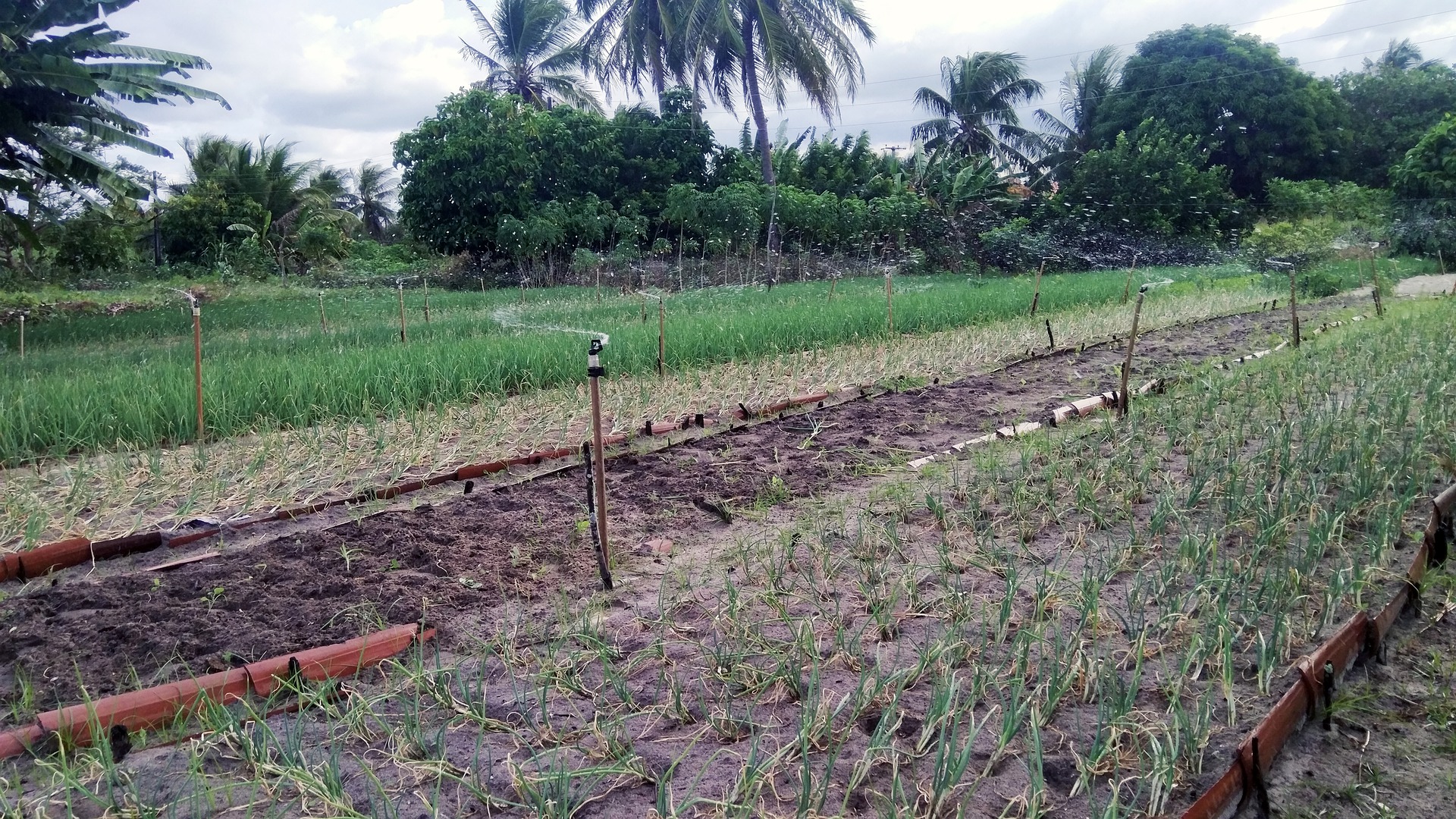
Ecosystem Services (ESS) are used inefficiently in cities due to present land-use patterns that have been shaped through centuries. Though ESS are provided by biodiversity in grasslands, forests, wetlands, etc. in rural areas, they are produced in rural lands and are mostly used in urban areas. Beneficiaries of achieving land consolidation to increase ESS production efficiency are urban dwellers and local economies. This will improve their living conditions in addition to presenting the facility of effective resource management tools to municipalities. In particular, low revenue earning urban dwellers, and the unemployed segment will be the most benefiting parts under recent circumstances. Launching such an efficiency promoting a programme, each functional ecosystem unit should be mapped to denote provisional, regulatory ESS, including their frequency, overlapping regulatory areas and provisional ESS type per unit area, distances to the city, availability and unavailability due to laws regarding ownership, physical barriers, functional discontinuities. Mapping with data received from Geographical Information System (GIS) would be inadequate, thus we propose to use of LUCAS statistical framework mapping which is carried out in the field, by observing, and measuring the sources quantitatively by relevant expertise reflecting the local economic conditions of farmers.
Enhancing efficient use of biodiversity-provided ecosystem services distributed over rural areas to serve metropolitan municipalities
Year: 2021