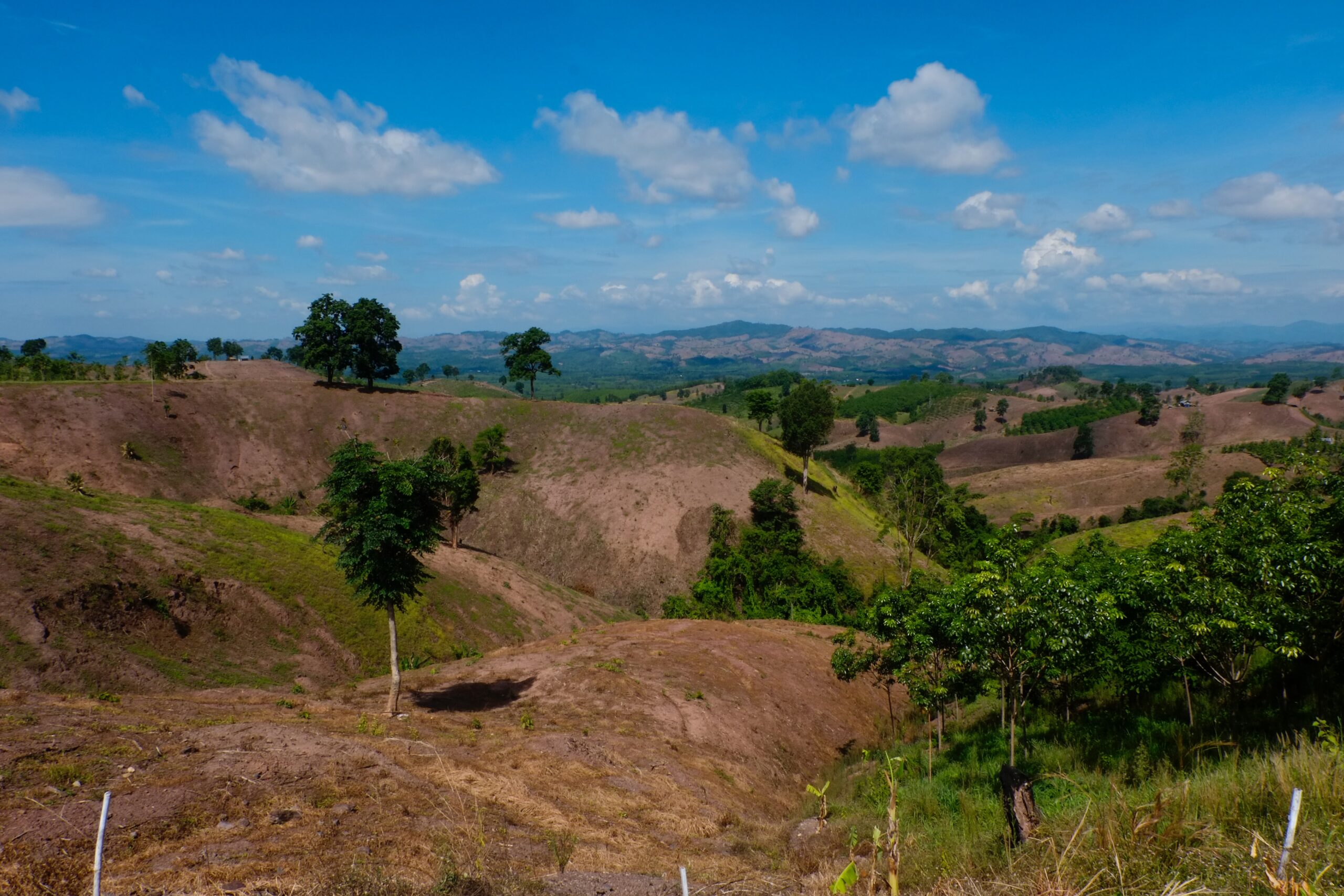
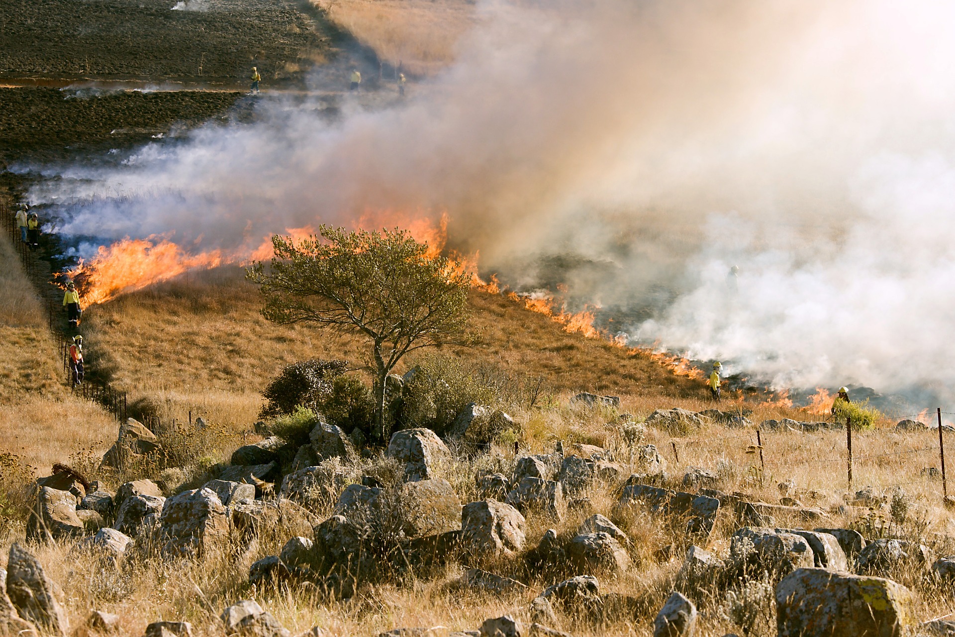
There has been a recent proliferation of remote sensing-based trend analysis for monitoring regional desertification. These show contradictory results. All of them claim to have been “validated” through expert interpretation, in the absence of sufficient field data. We suggest that such an approach is not sufficiently rigorous. Therefore, we demonstrate an approach that simulates land degradation so that the intensity, rate, and timing of the reduction in NDVI can be controlled, in order to quantitatively evaluate the ability of methods to detect these known changes. The results show that linear trend analysis is rather insensitive to previously observed levels of NDVI reduction due to degradation in the well-studied communal lands in the Lowveld of South Africa. The period of investigation has a large but rather unpredictable influence on the linear trends. This casts doubts over the ability of linear trend analysis, to detect relatively subtle, slowly-developing degradation in semiarid rangelands.
Can linear trend analyses of NDVI time series data truly detect land degradation?
Year: 2011