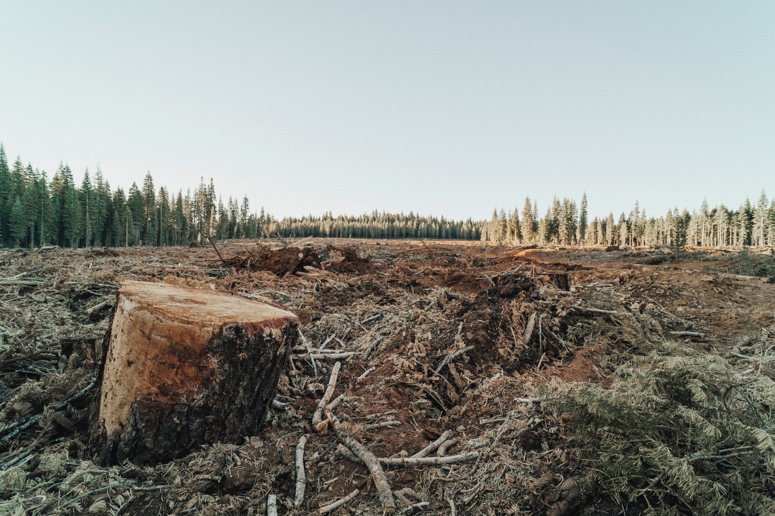
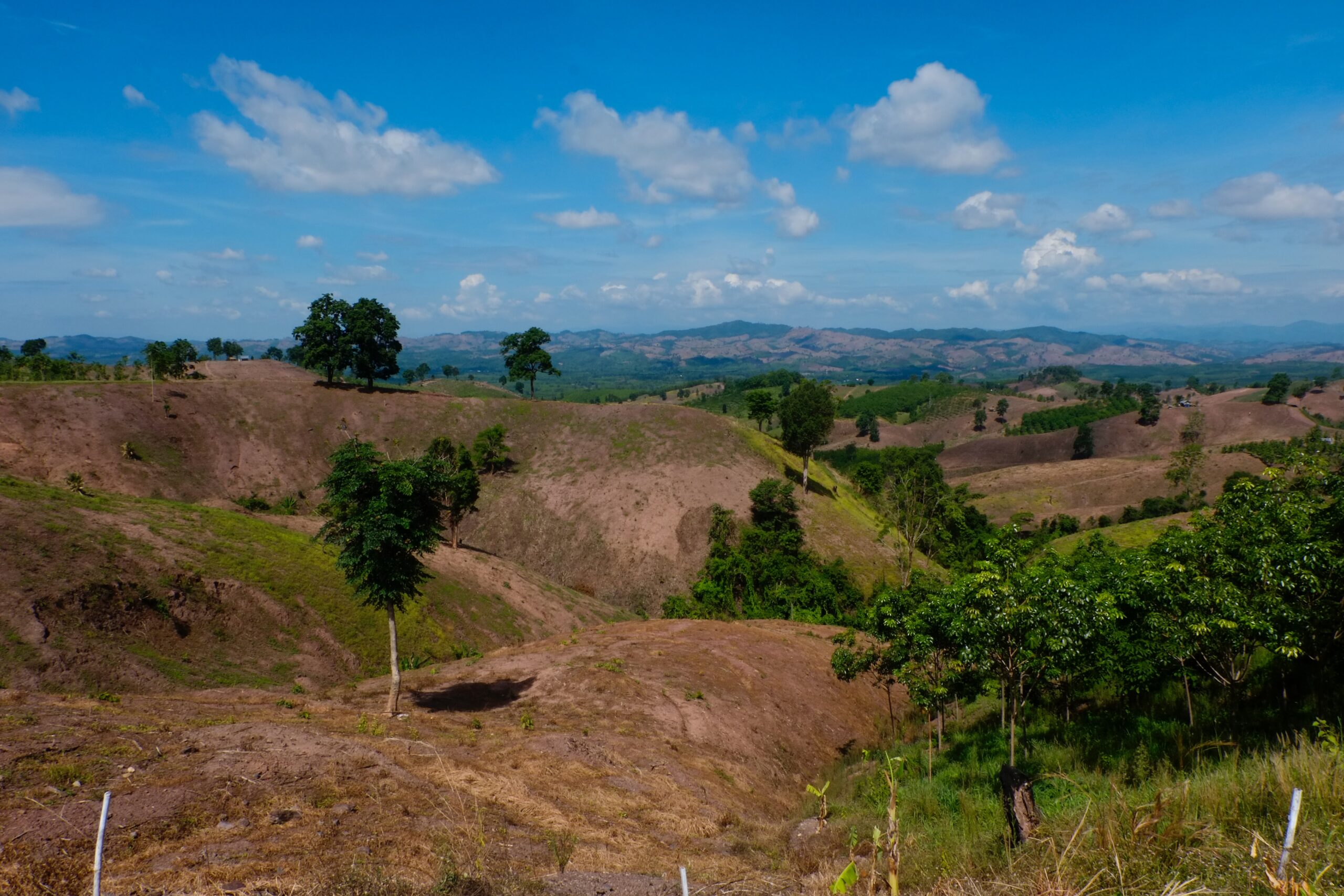
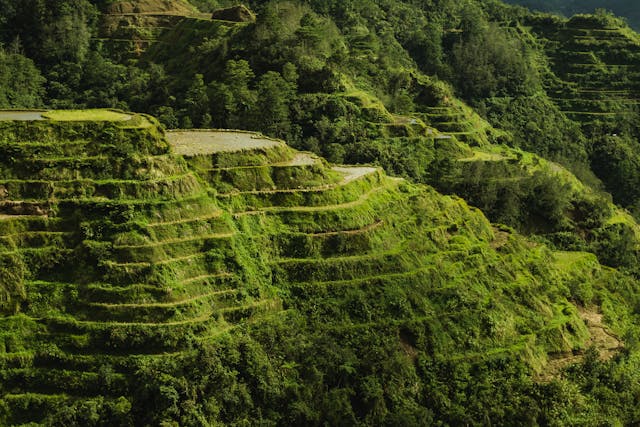
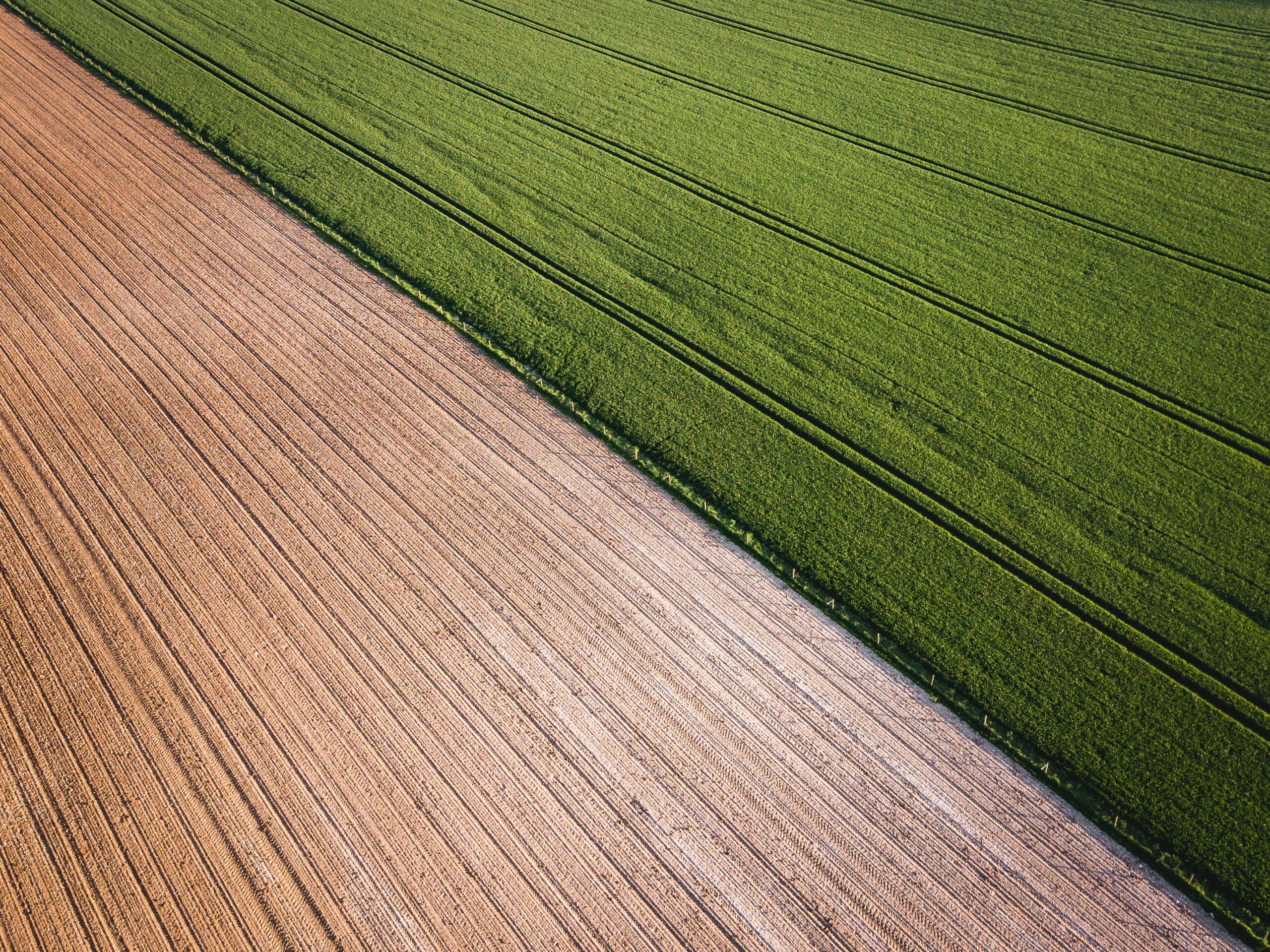
The WOCAT-LADA-DESIRE mapping tool evaluates what type of land degradation is actually happening where and why and what is done about it in terms of Sustainable Land Management (SLM) in the form of a questionnaire completed in an expert assessment. Linking the information obtained through the questionnaire to a Geographical Information System (GIS) permits the production of maps as well as area calculations on various aspects of land degradation and SLM. The map database and mapped outputs provide a powerful tool to obtain an overview of land degradation and SLM in a landscape, country, region, or worldwide.
A questionnaire for mapping land degradation and sustainable land management
Year: 2008