Achieving Biodiversity Net Gain with all developments will be legislated in November this year in England. Understanding the presence and health of ecosystems on both proposed development sites and sites being used for biodiversity offsets is a pivotal component of this in order for ecologists to produce habitat condition assessments.
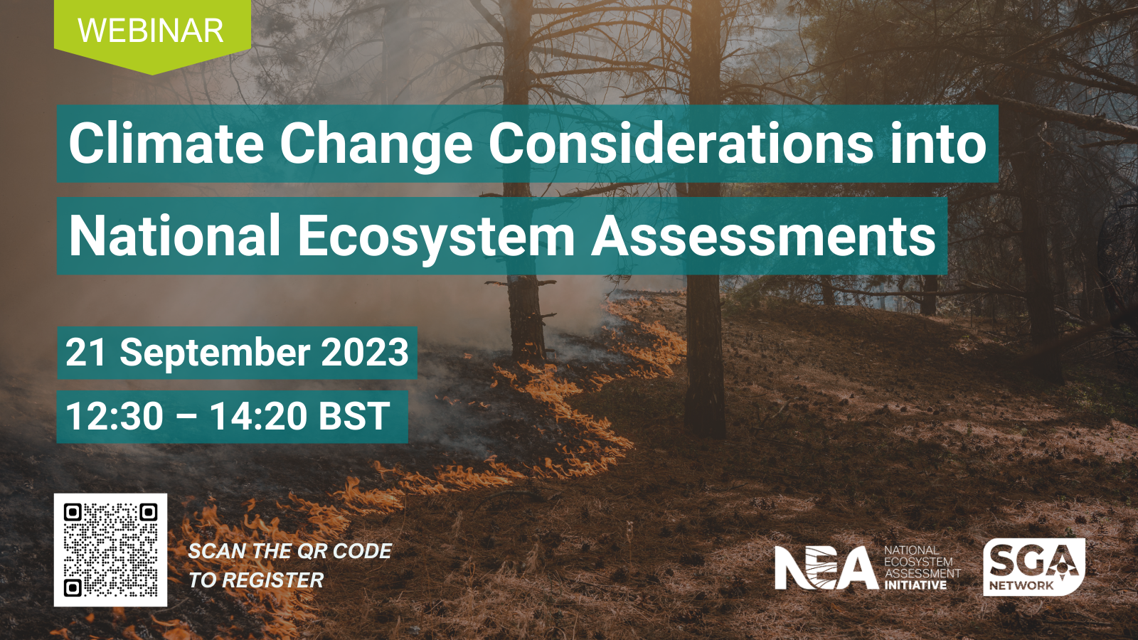
This 90-minute webinar will discuss the potential role of satellite imagery in the use of habitat condition assessment and monitoring, and if there is a role for it alongside traditional on-the-ground surveys.
The webinar will be recorded and those booked will receive a link to the recording.
We invite anyone involved in Biodiversity Net Gain to join us for this interactive virtual event, including ecologists, local authorities, local environmental record centres, land owners and developers.
The webinar will consist of two presentations, followed by a facilitated discussion between the audience and our speakers.
Richard Flemmings, data science specialist and Chartered Geographer, will discuss the potential benefits (and limitations) of analysis from spaceborne sensors, and how data feeds and reports aligned with environmental legislation can allow verification and management of biodiversity targets.
Dr Dan Carpenter, ecologist and Chartered Environmentalist, will delve into how these tools can support ecologists with assessing and monitoring BNG. He will also explore the potential benefits and limitations of “eyes in the sky” technology.
Our speakers will then take part in a panel discussion hosted by Sally Hayns (CIEEM).


