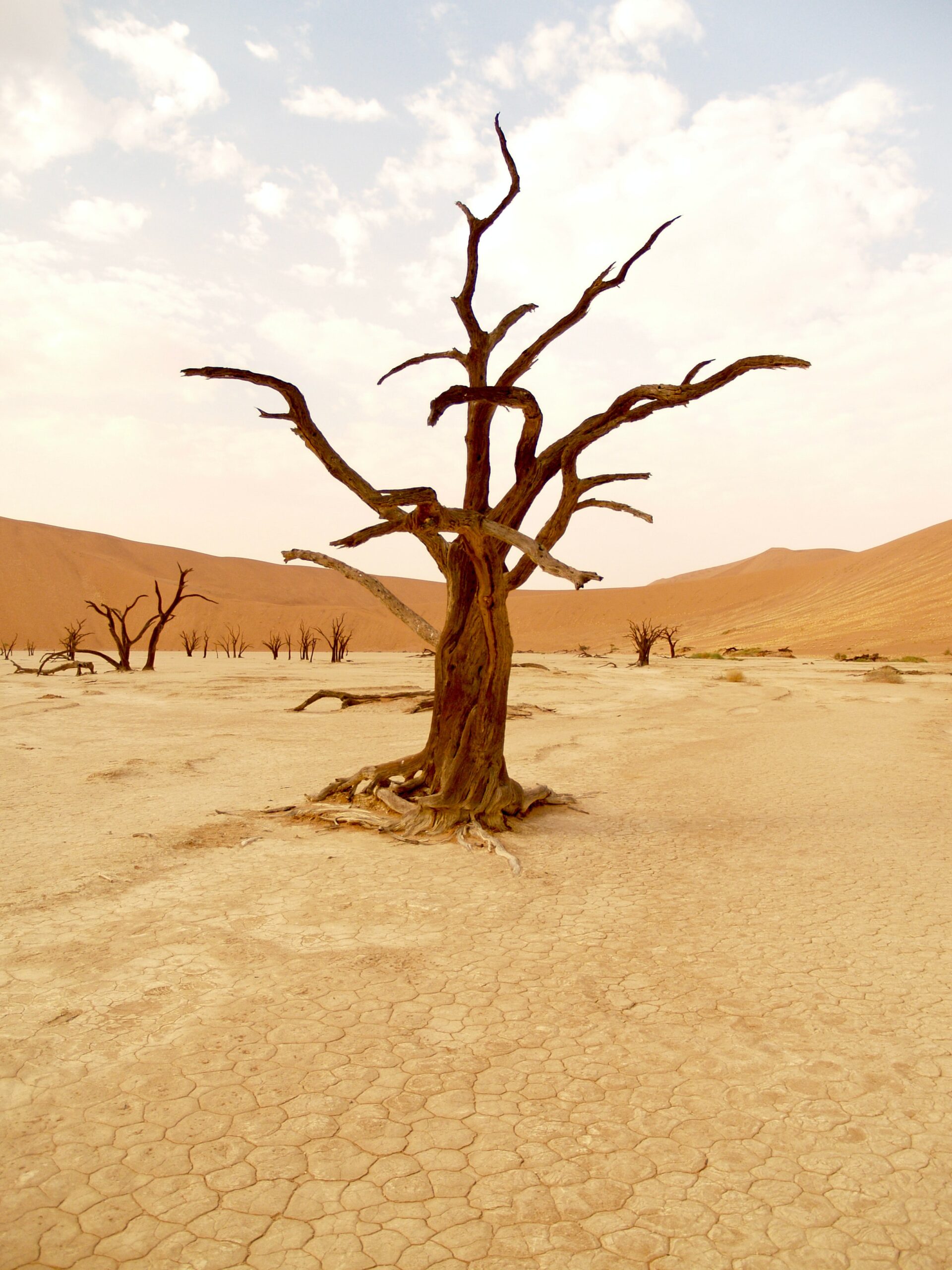
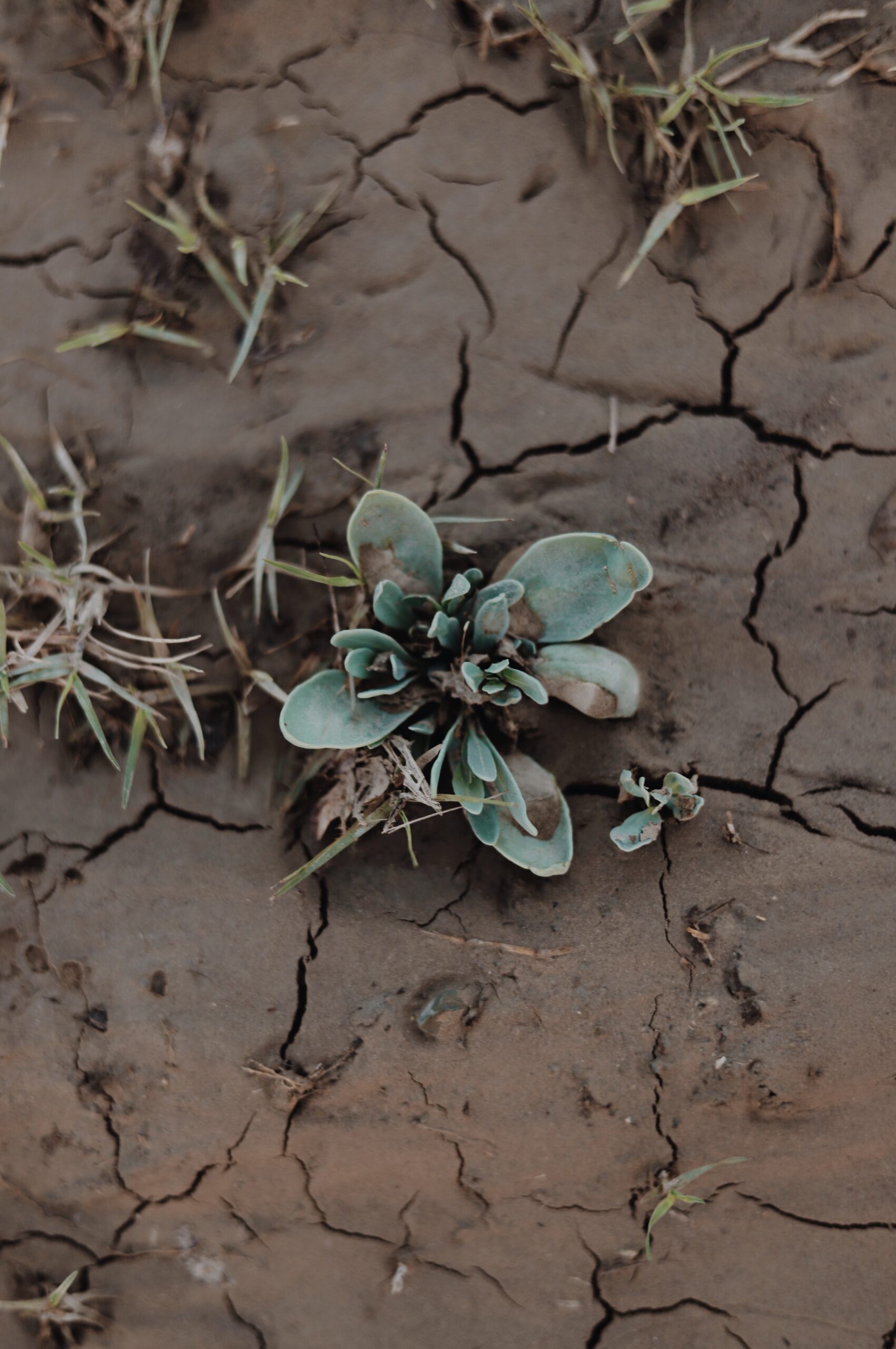
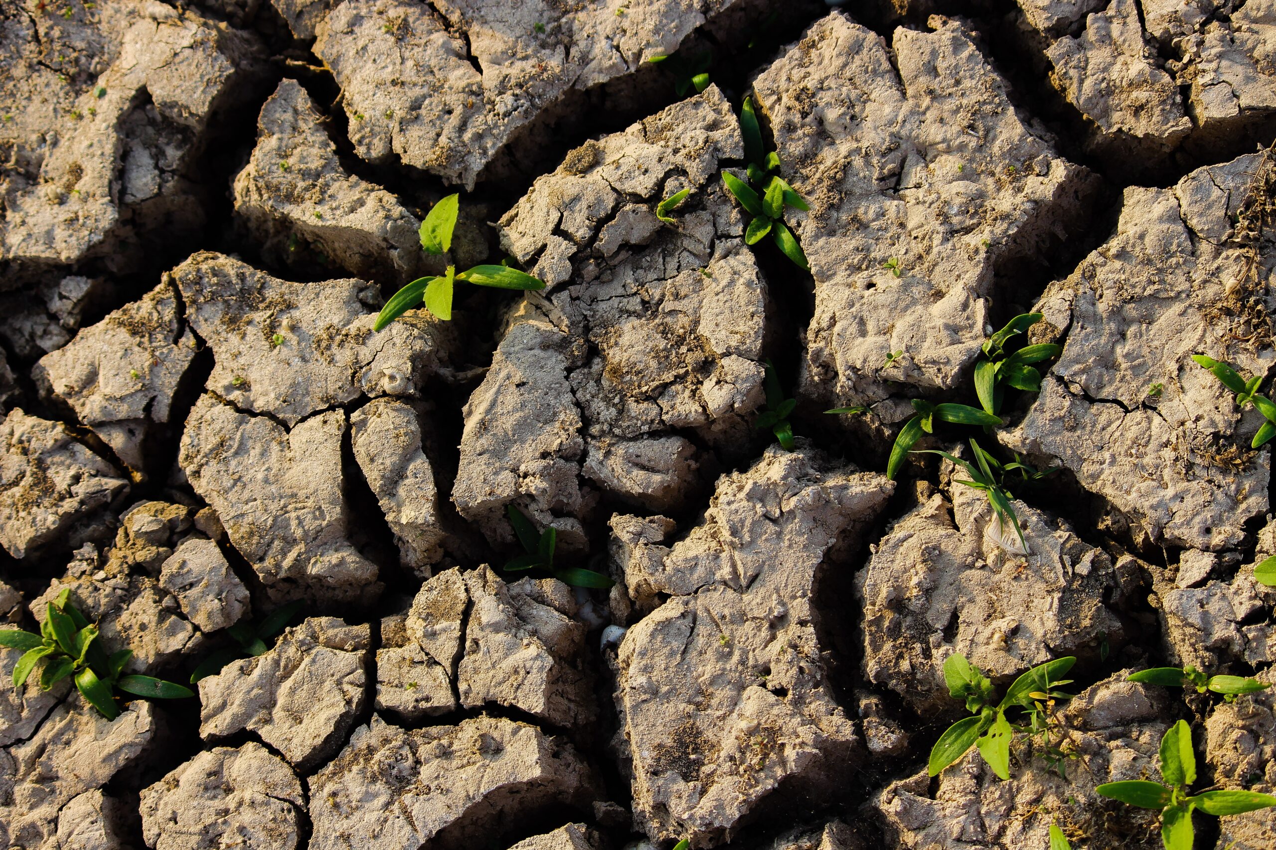
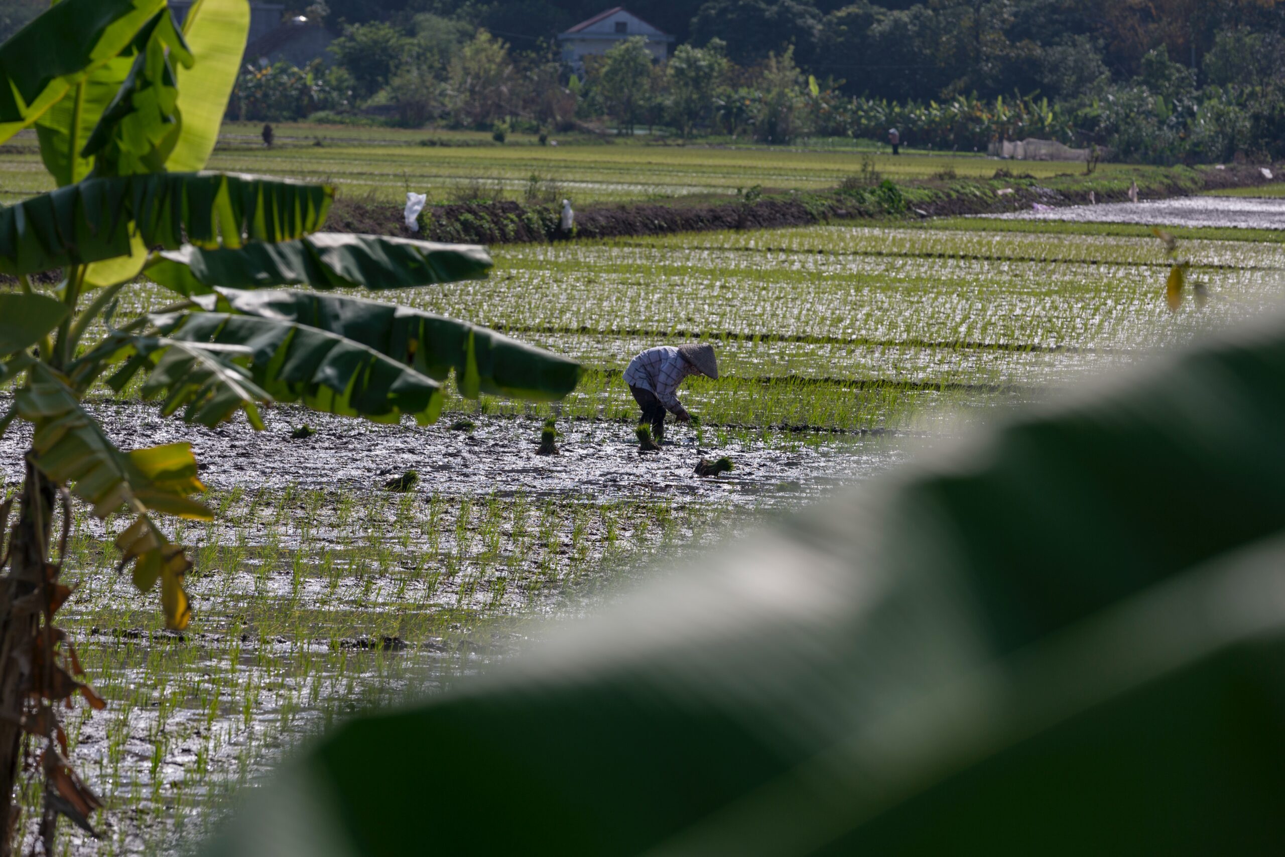
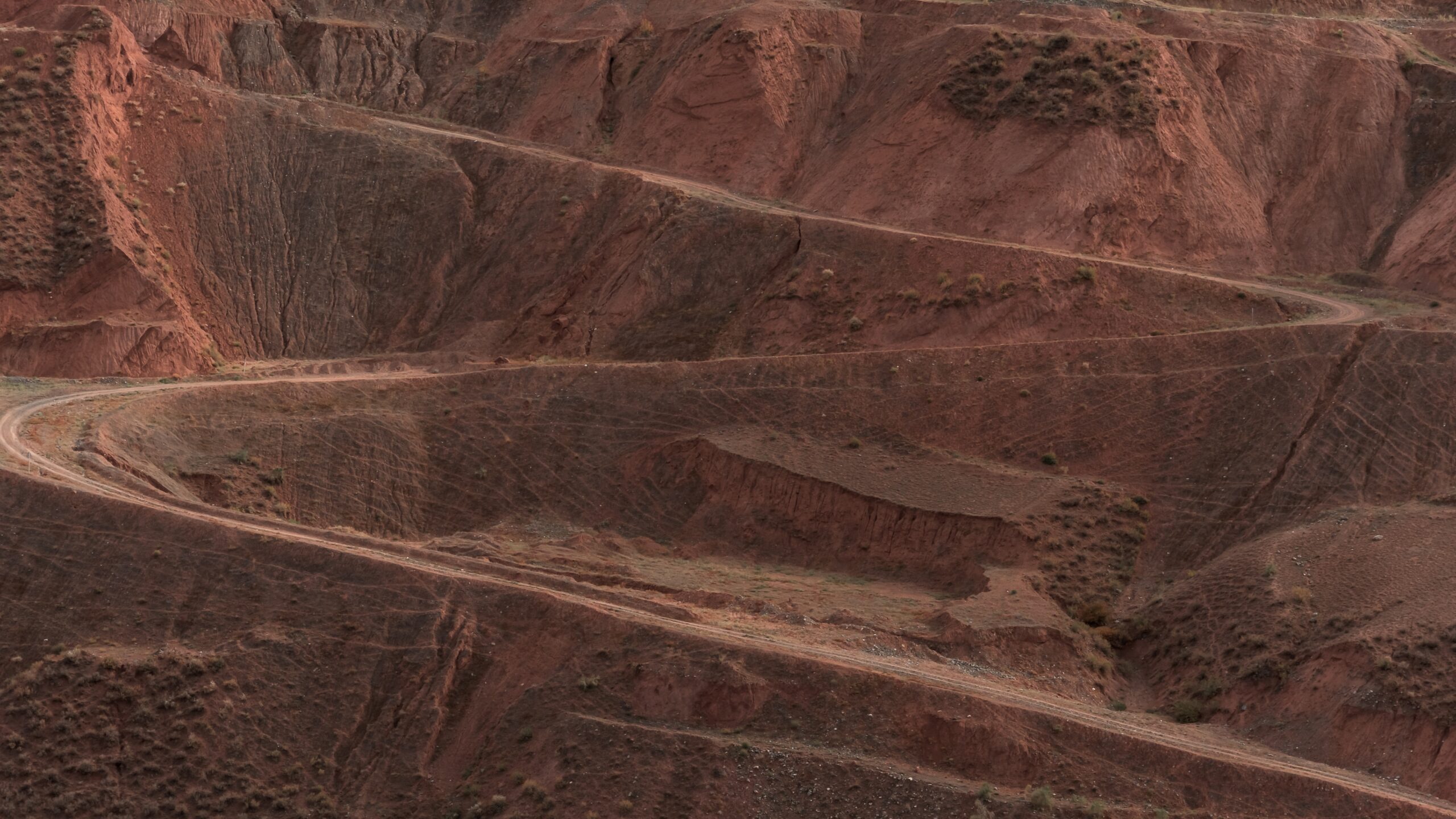
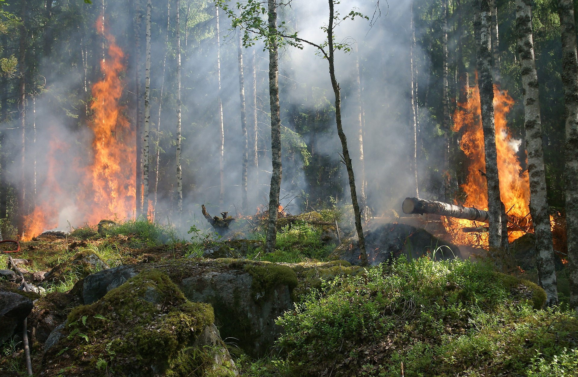
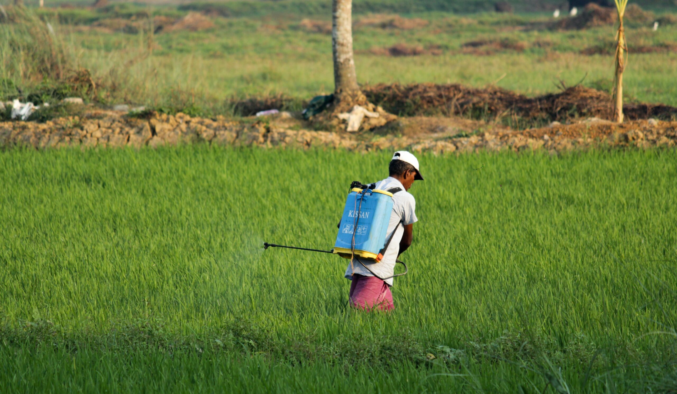
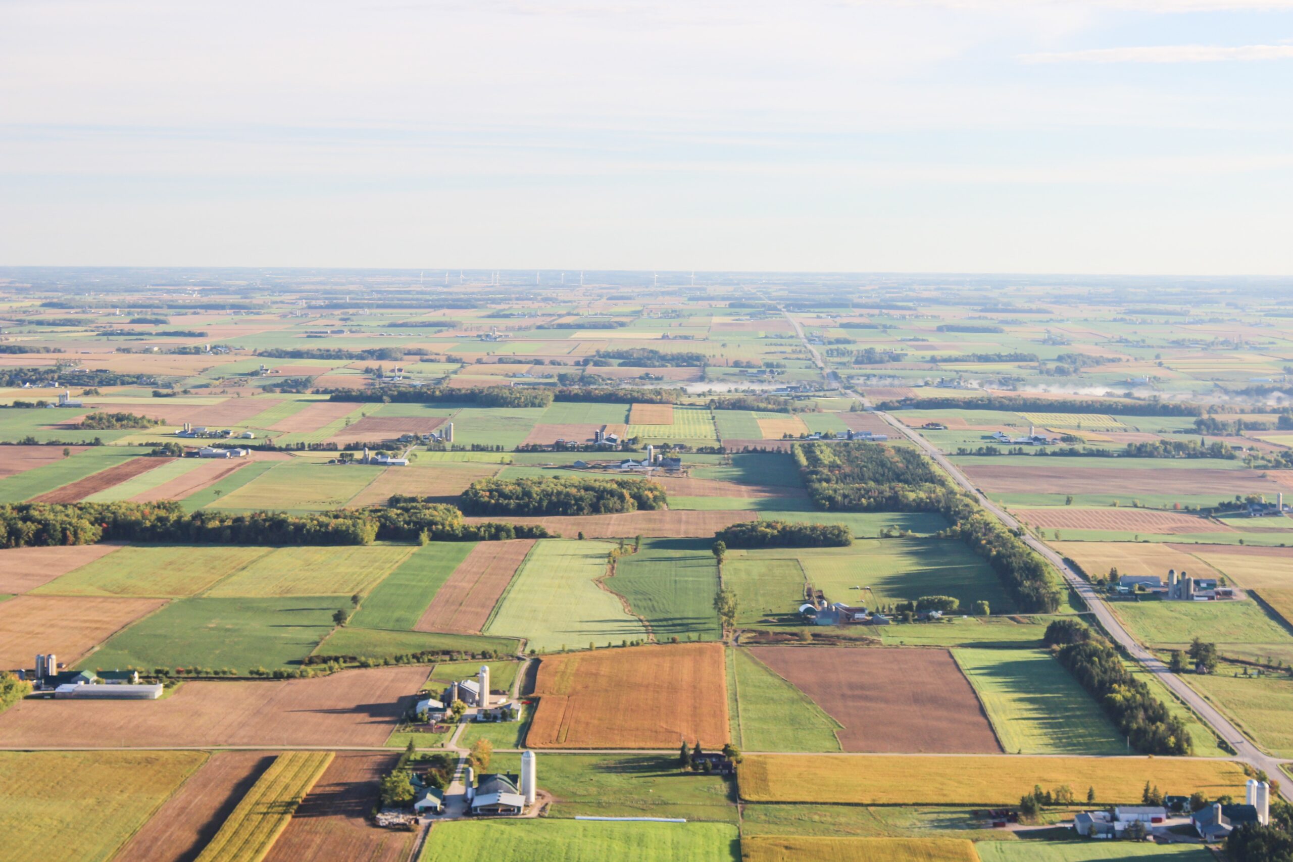
Land degradation lowers land productivity, livelihood development, and economic growth. Monitoring spatial and temporal changes in land degradation is a key contribution to understand their nature and causes, and to properly develop restoration and rehabilitation programs. The Khuzestan Province, Iran, was selected as a study area to design, develop and test a new model. The Risk Assessment of Land Degradation (RALDE) model considers various indicators of land degradation based on a biophysical and socioeconomic approach. To determine the risk of land degradation, RALDE will identify areas that are more vulnerable and will improve land planning. Data gathered from different governmental offices of Khuzestan Province and MODIS satellite data were used for this purpose. Maps of land degradation were produced after overlying the covers related to the biophysical and socioeconomic factors by means of a Geographical Information System. The Khuzestan Province was classified into subclasses with different probabilities of risk. In this method, the risk probability was evaluated according to the trend and potential of degradation. Results showed that the range of degradation risk probability was between 7 to 88%. The areas under different subclasses of severe to a very severe risk covered about 68% of the study area, showing a higher threat of land degradation. The RALDE model contributes to a better understand of land degradation processes and risks in different regions of the world.