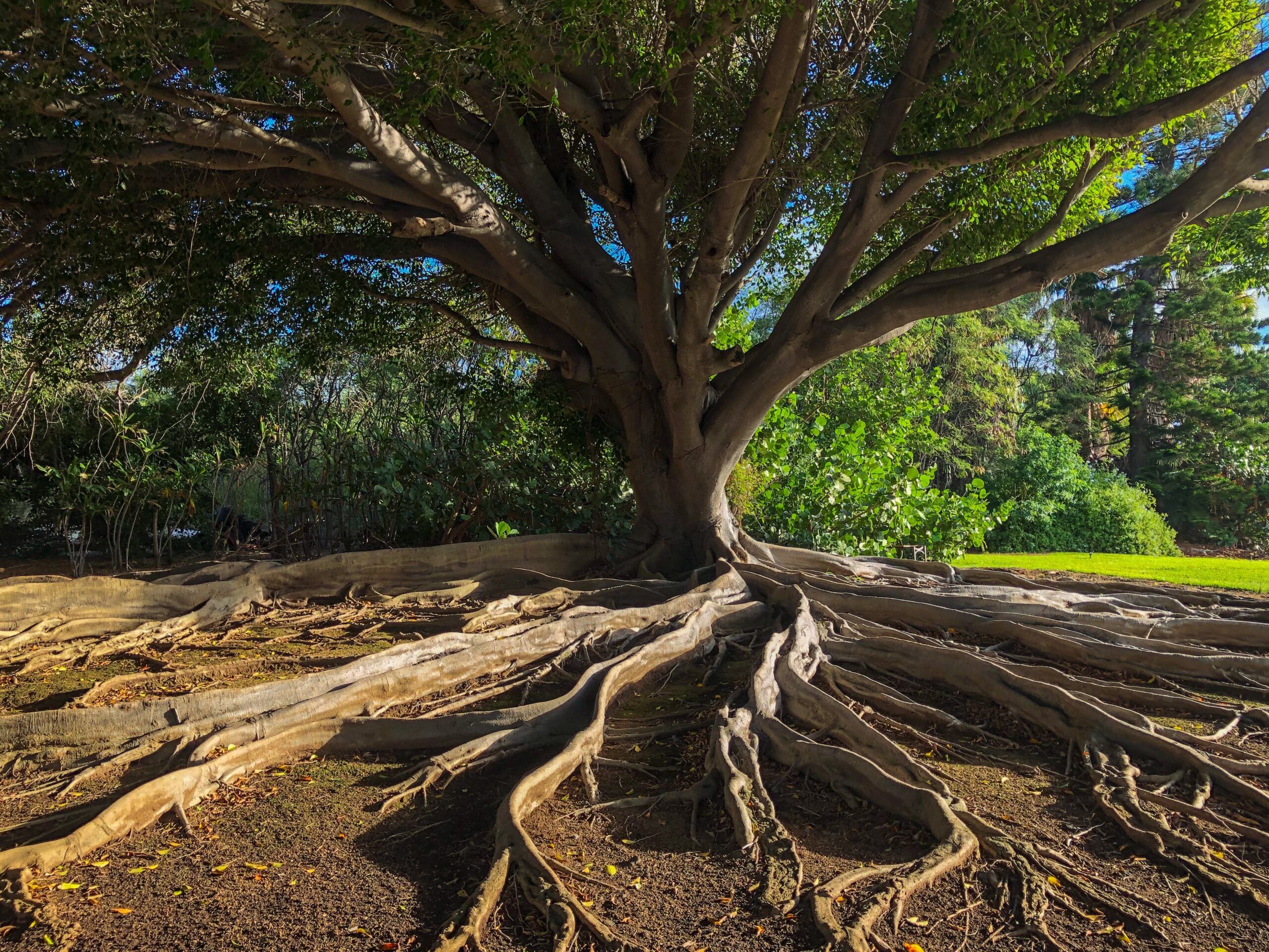
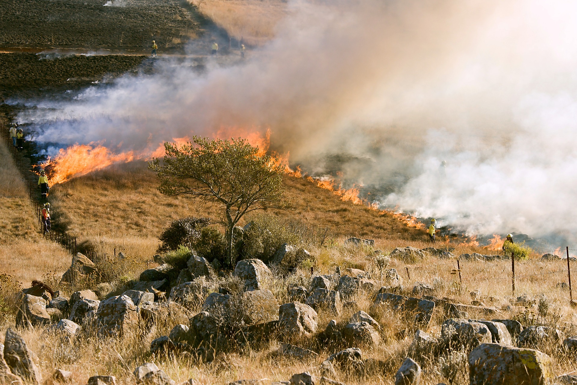
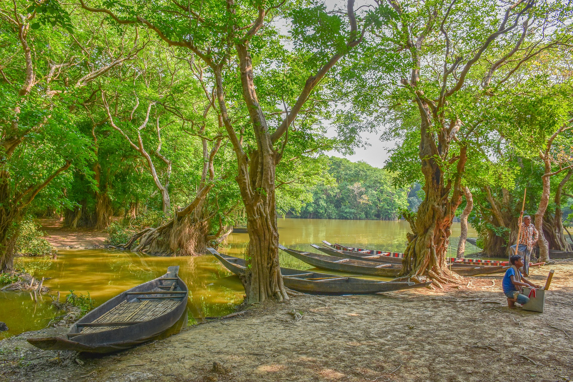
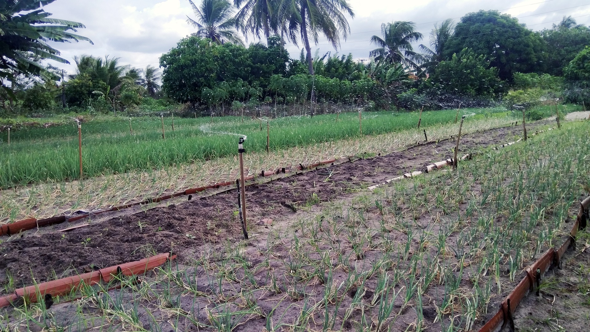
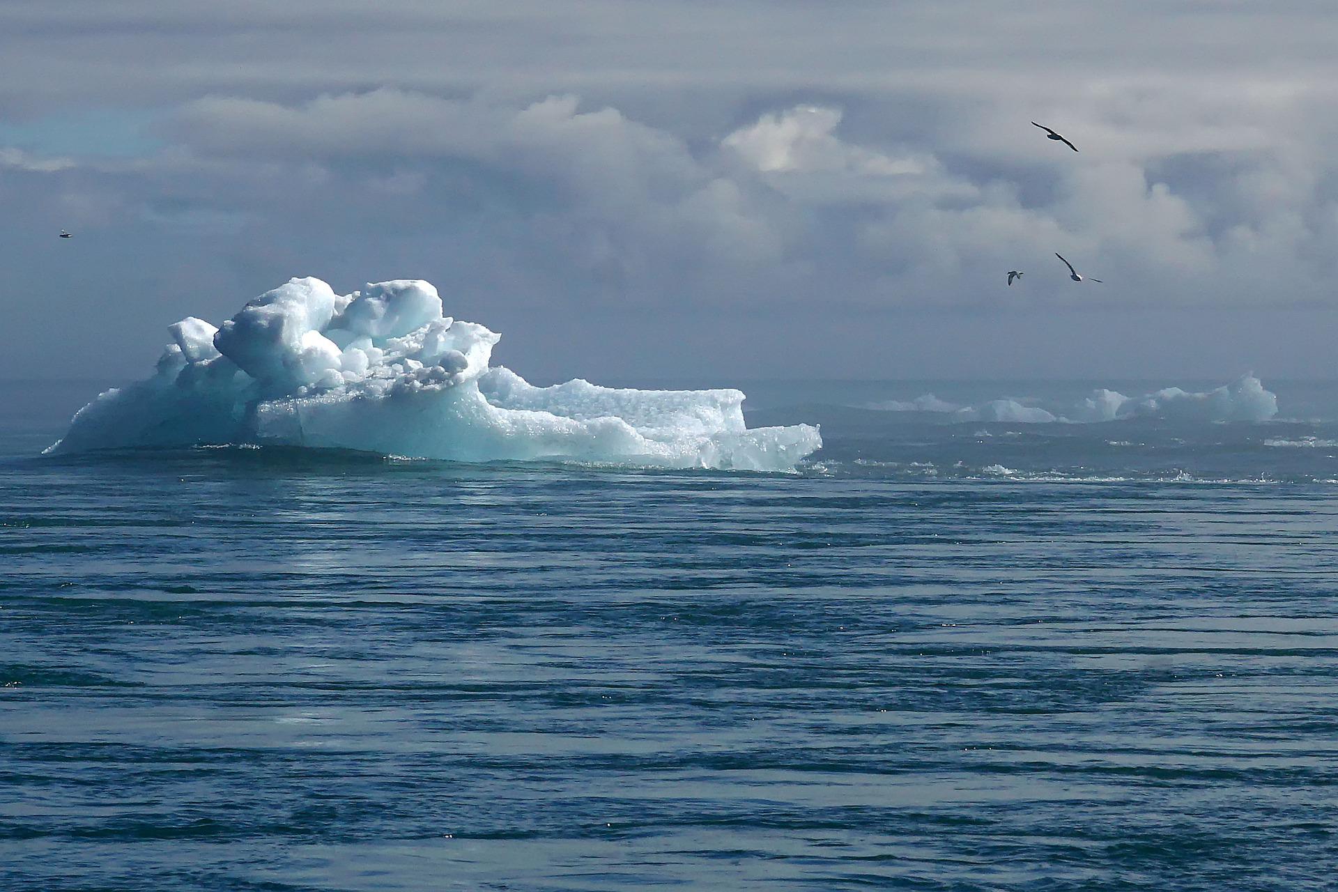
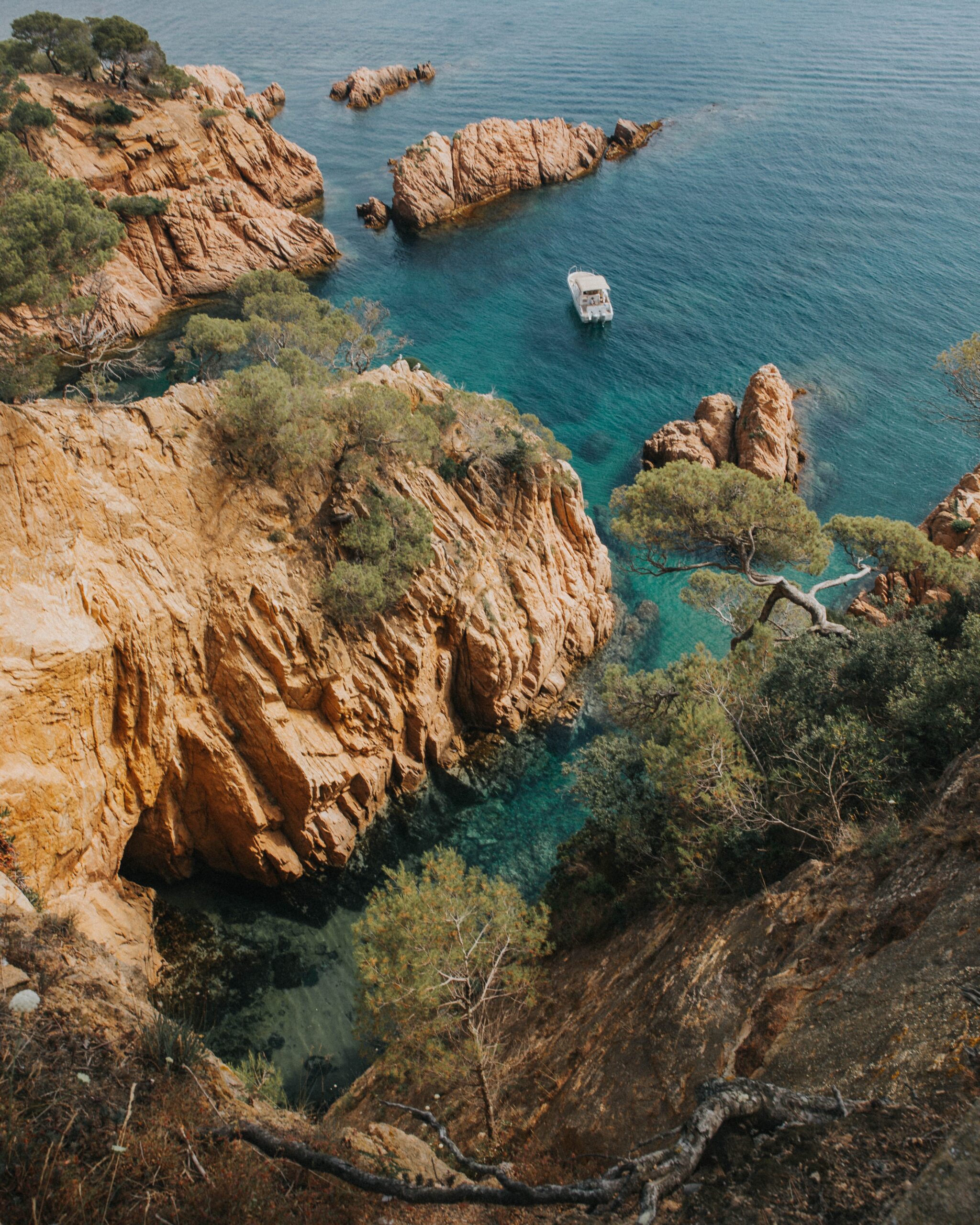
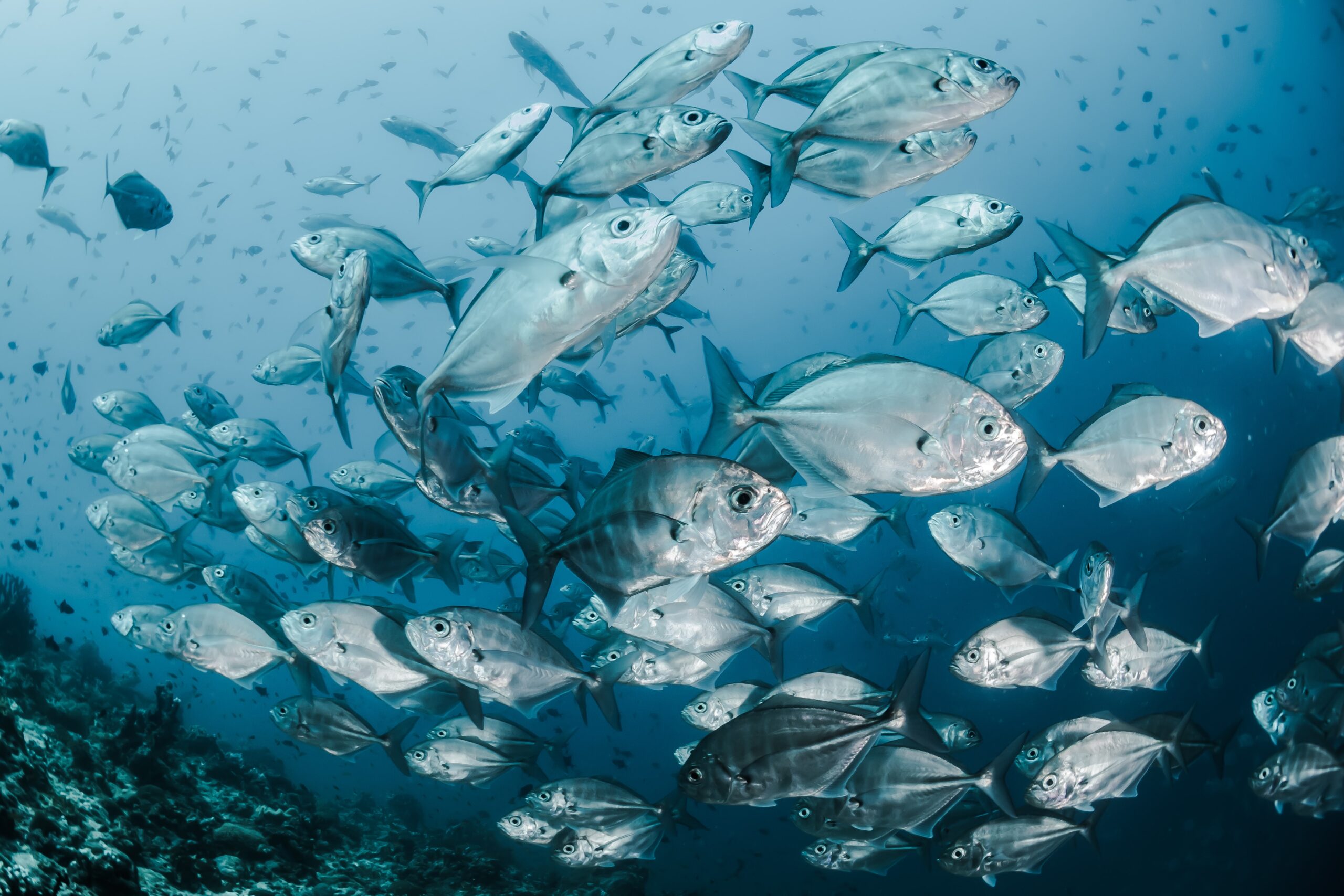
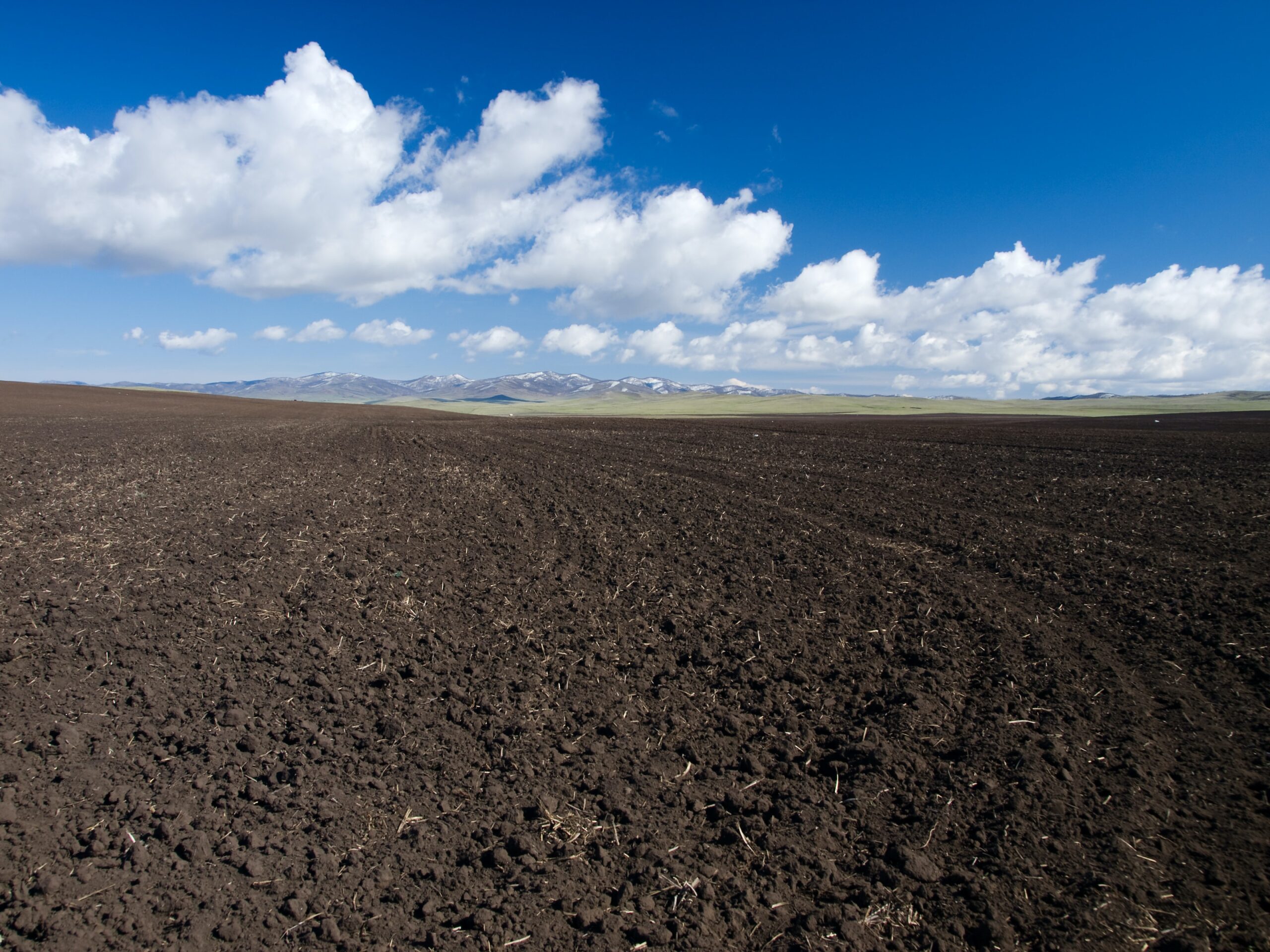
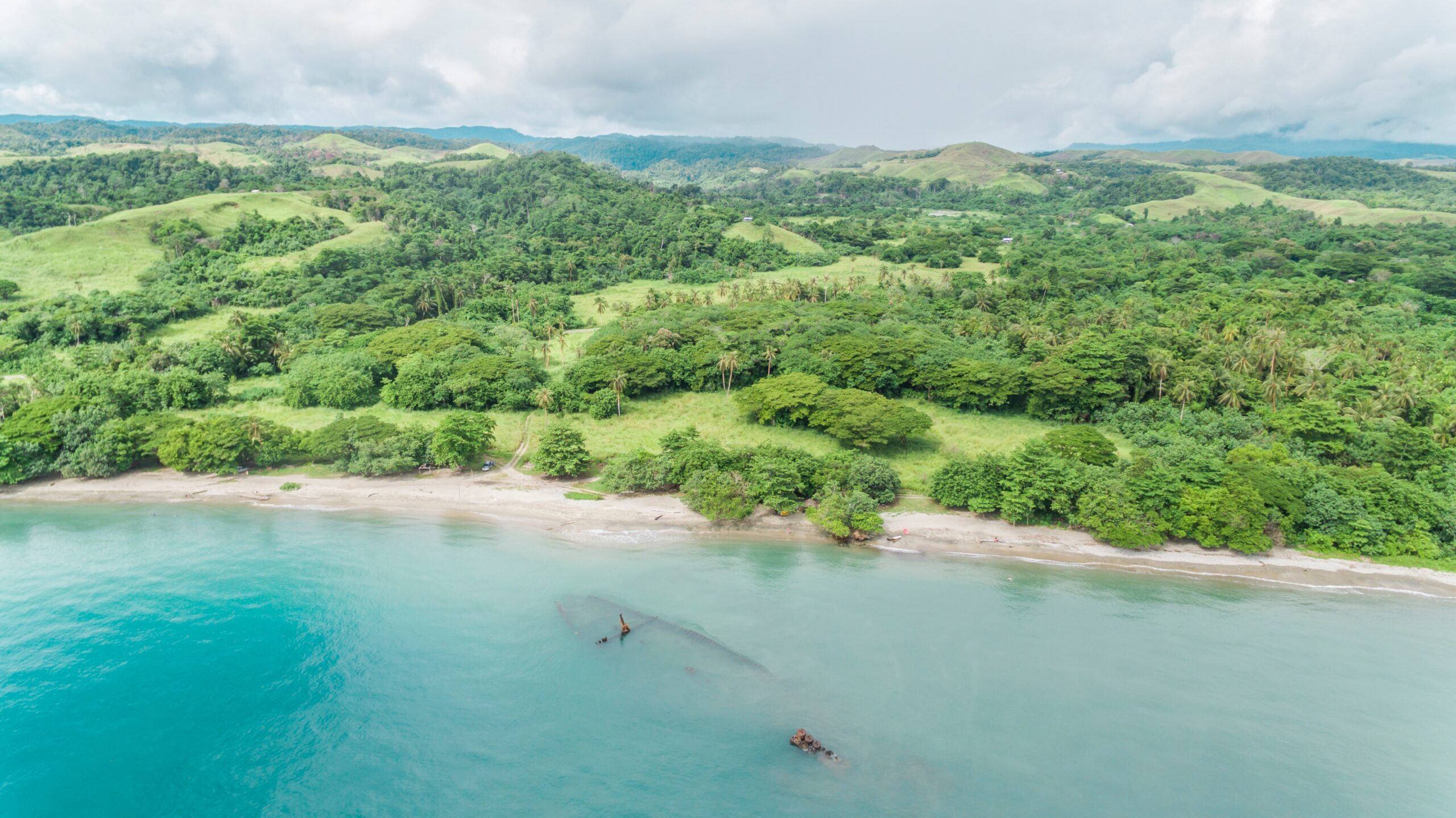
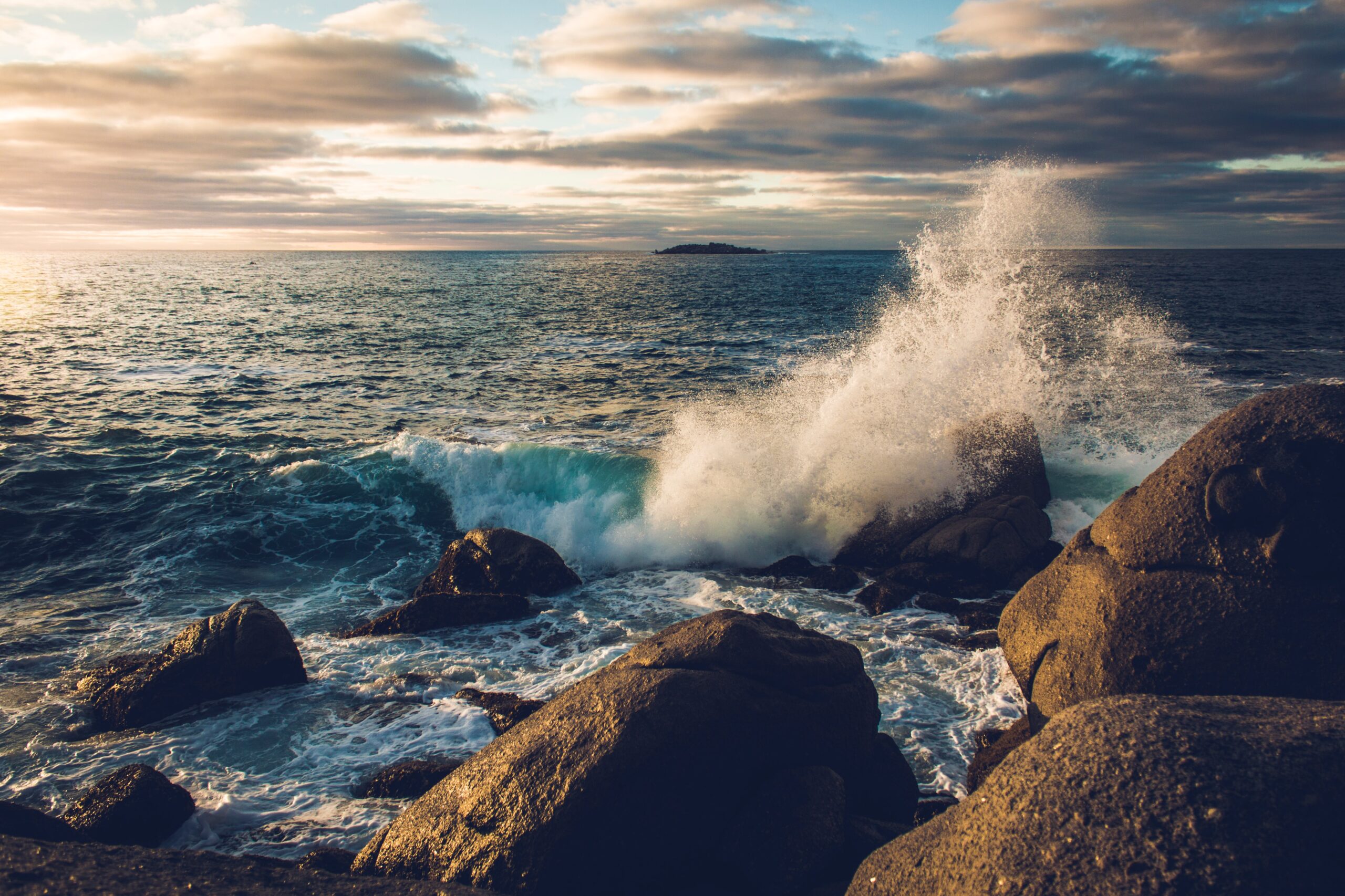
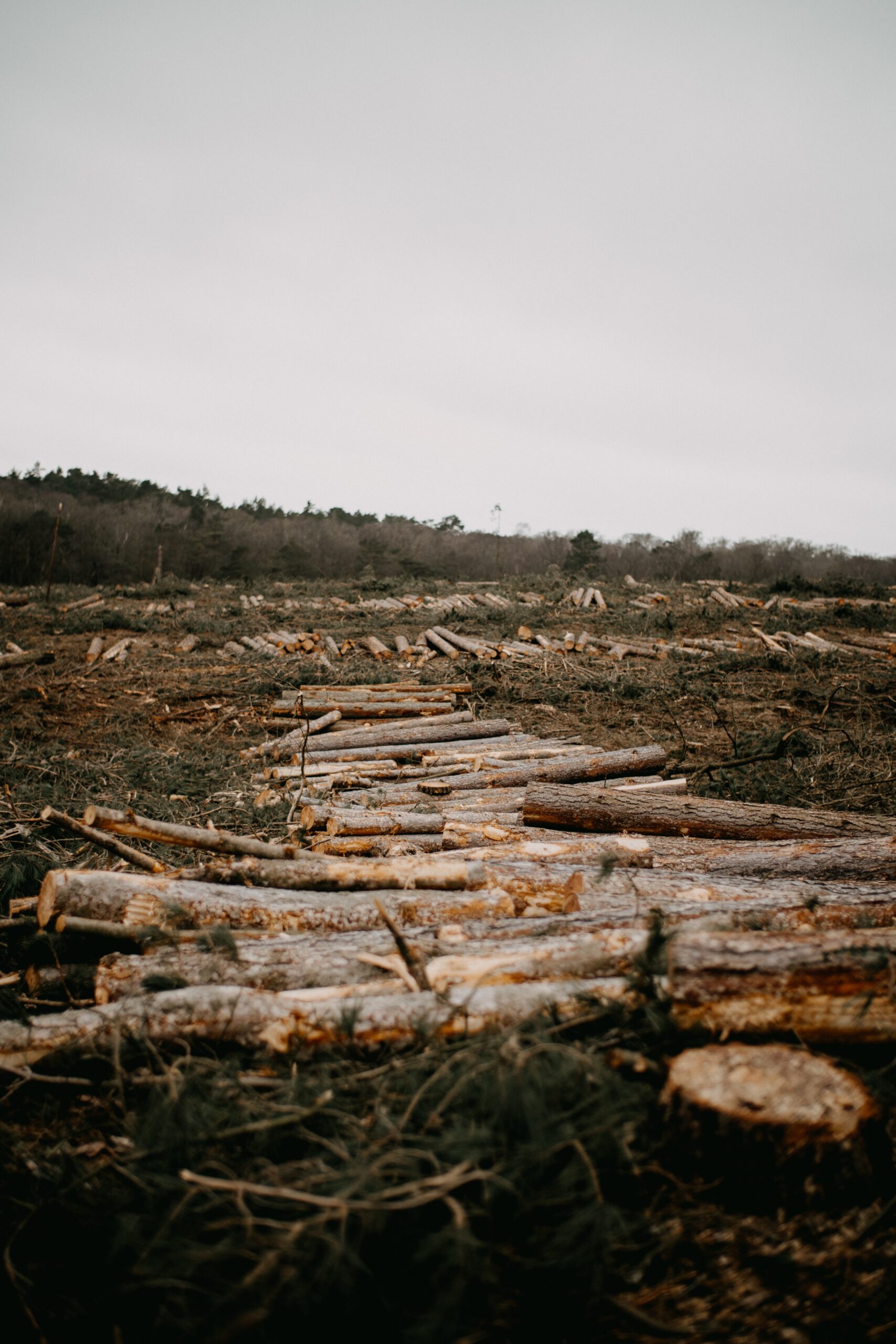
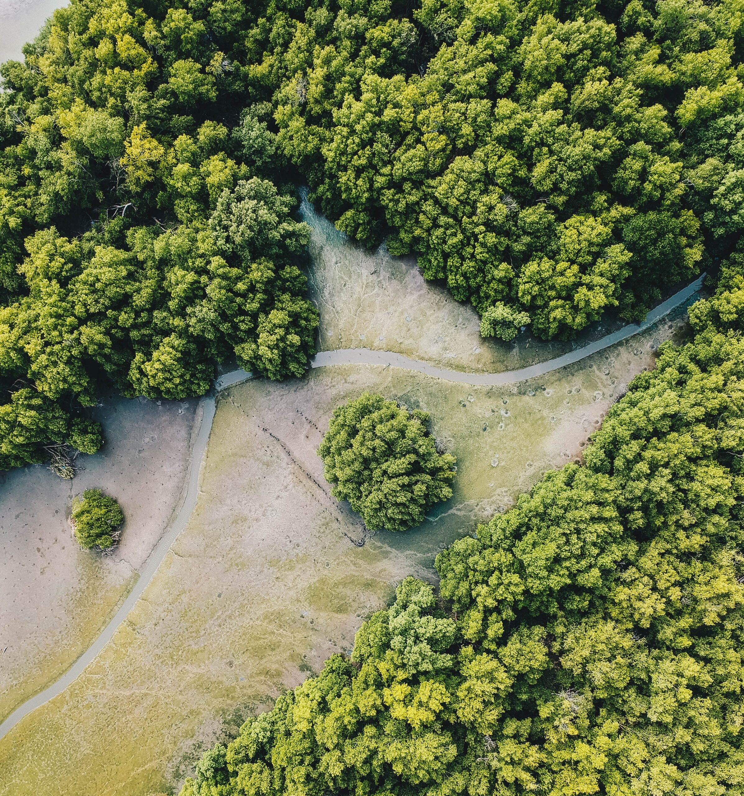
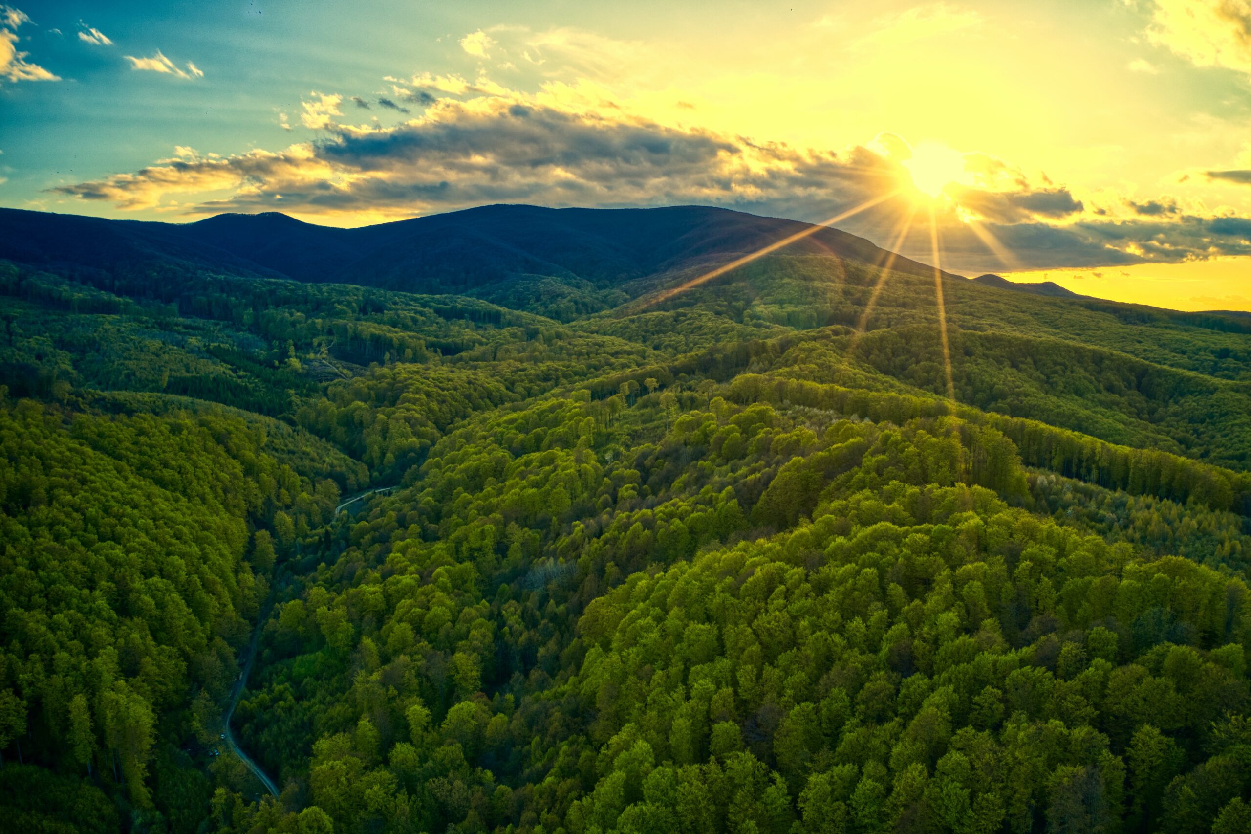
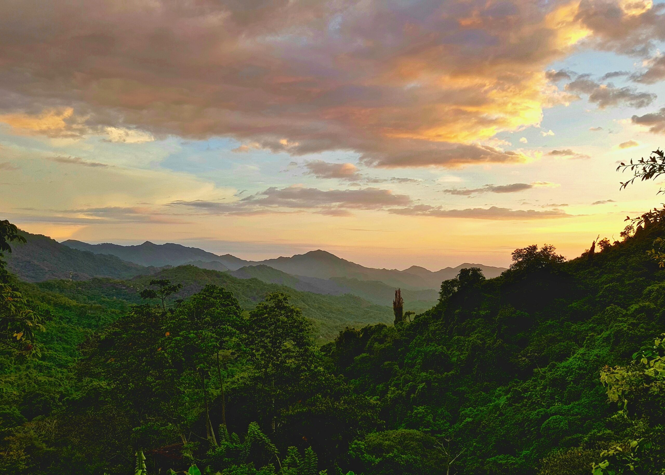
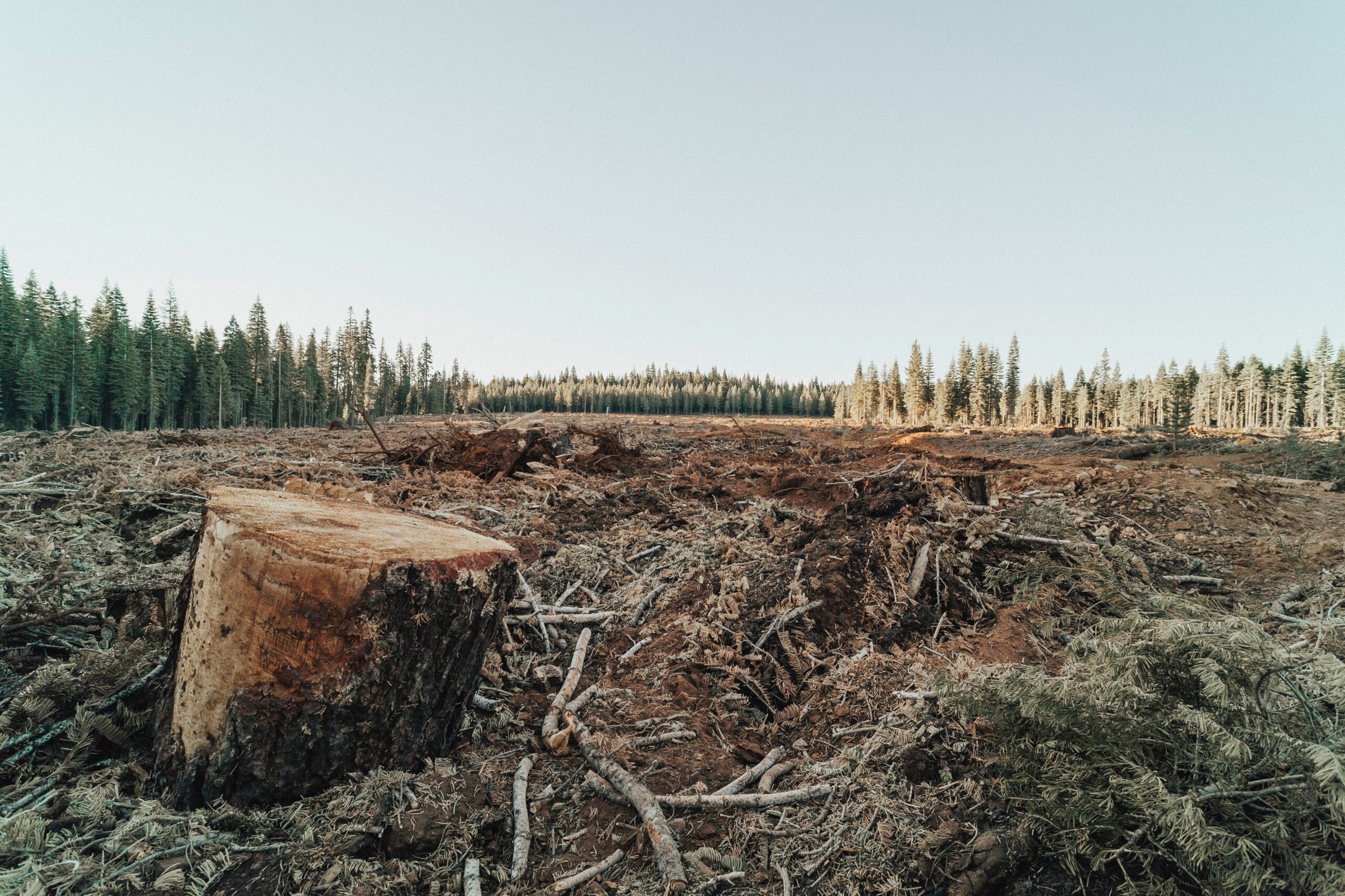
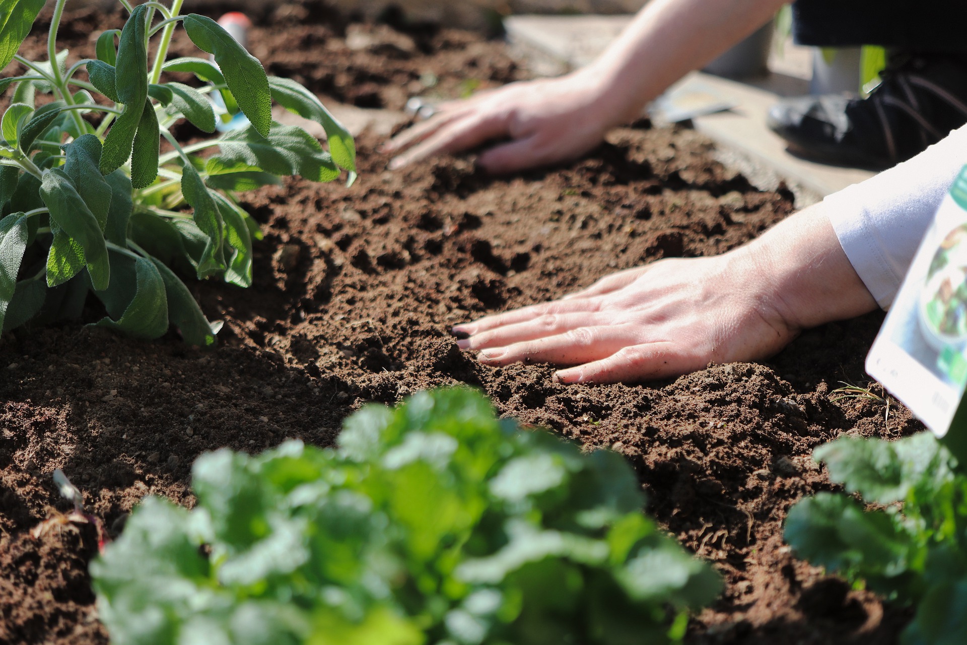
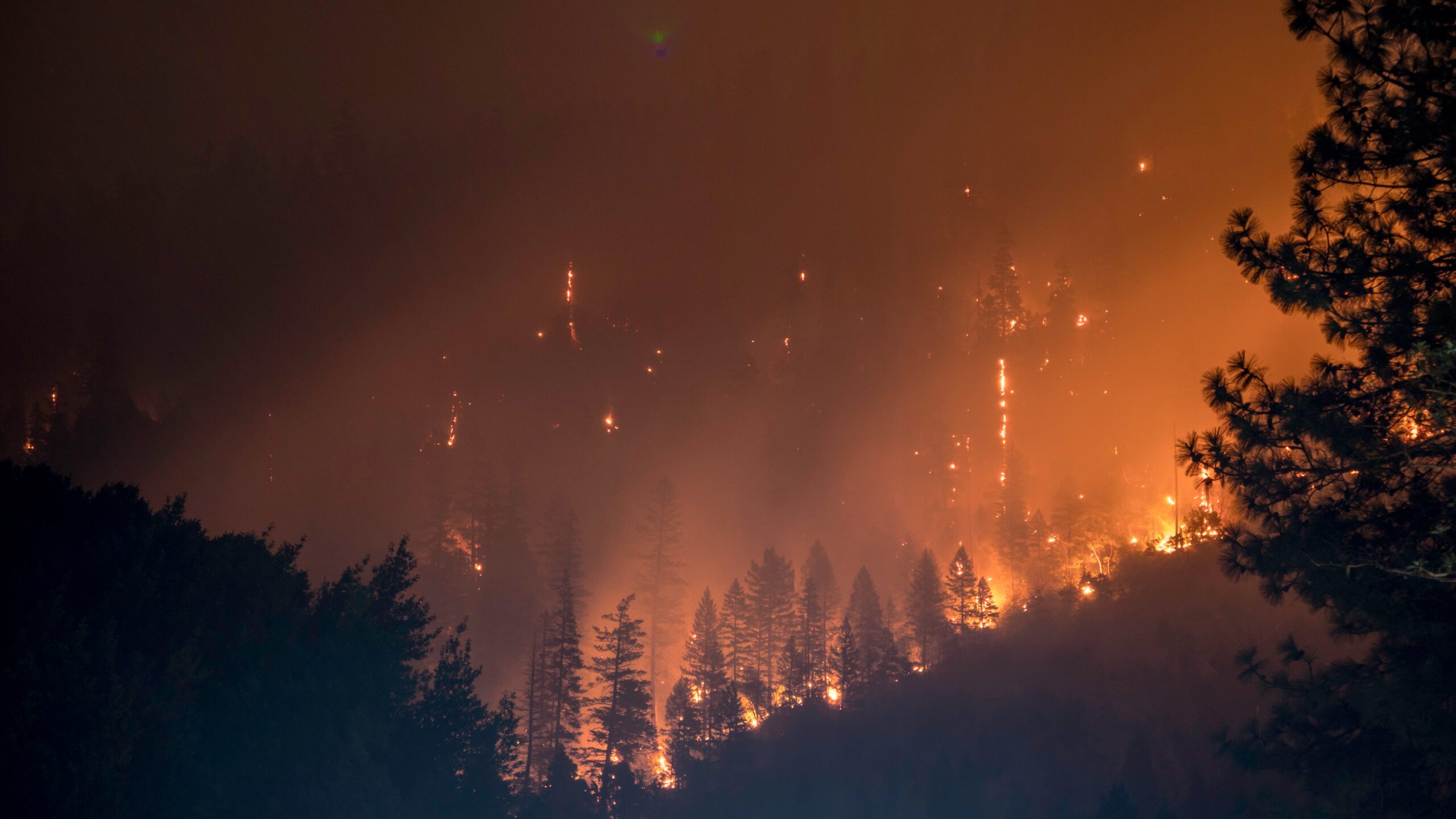
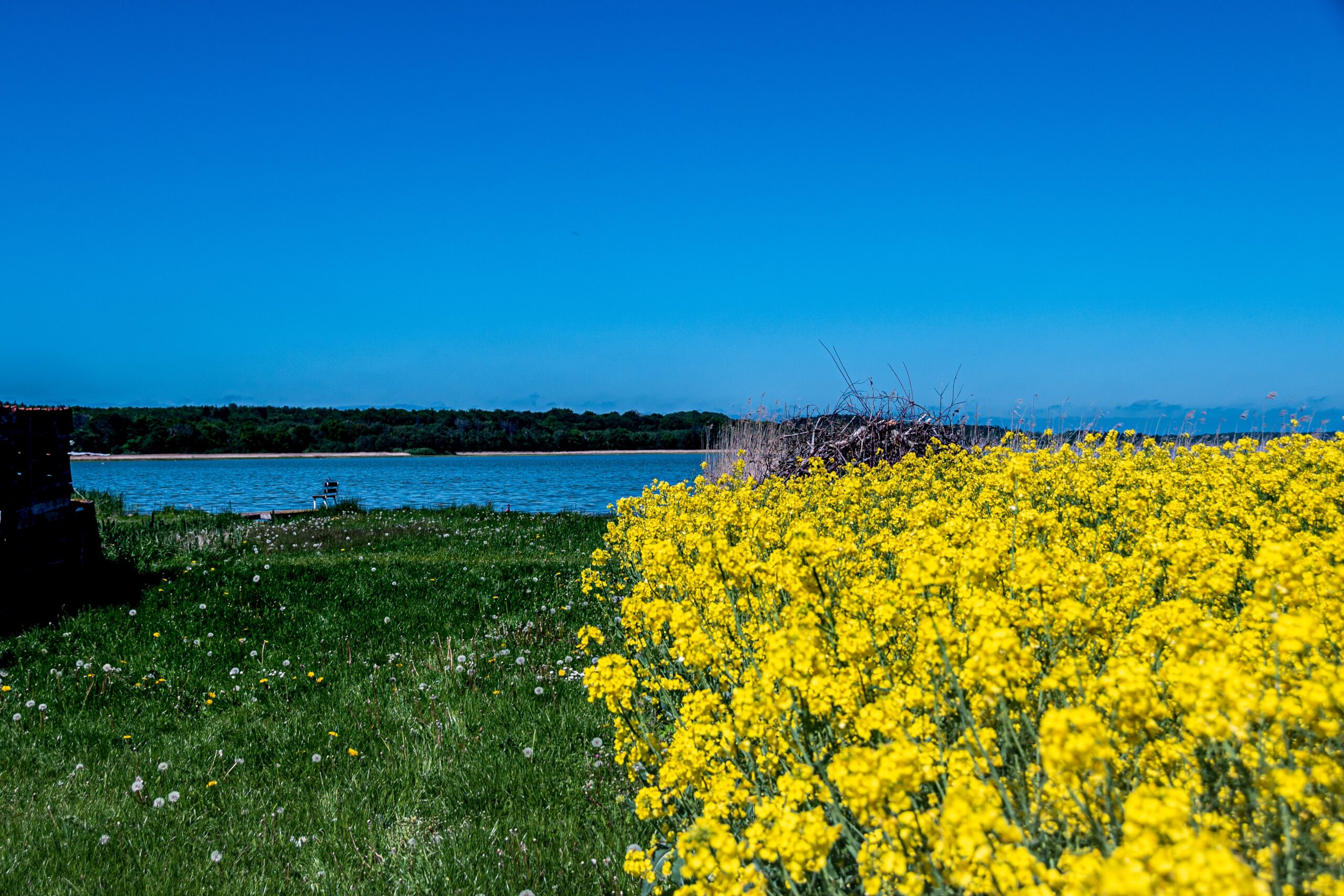
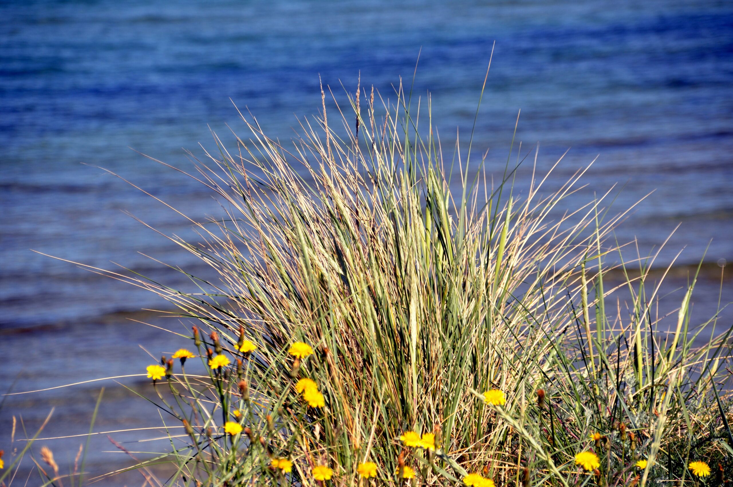
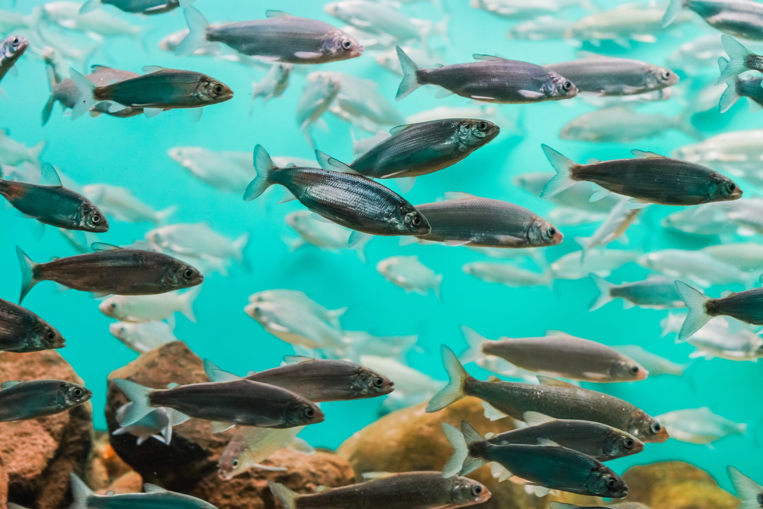
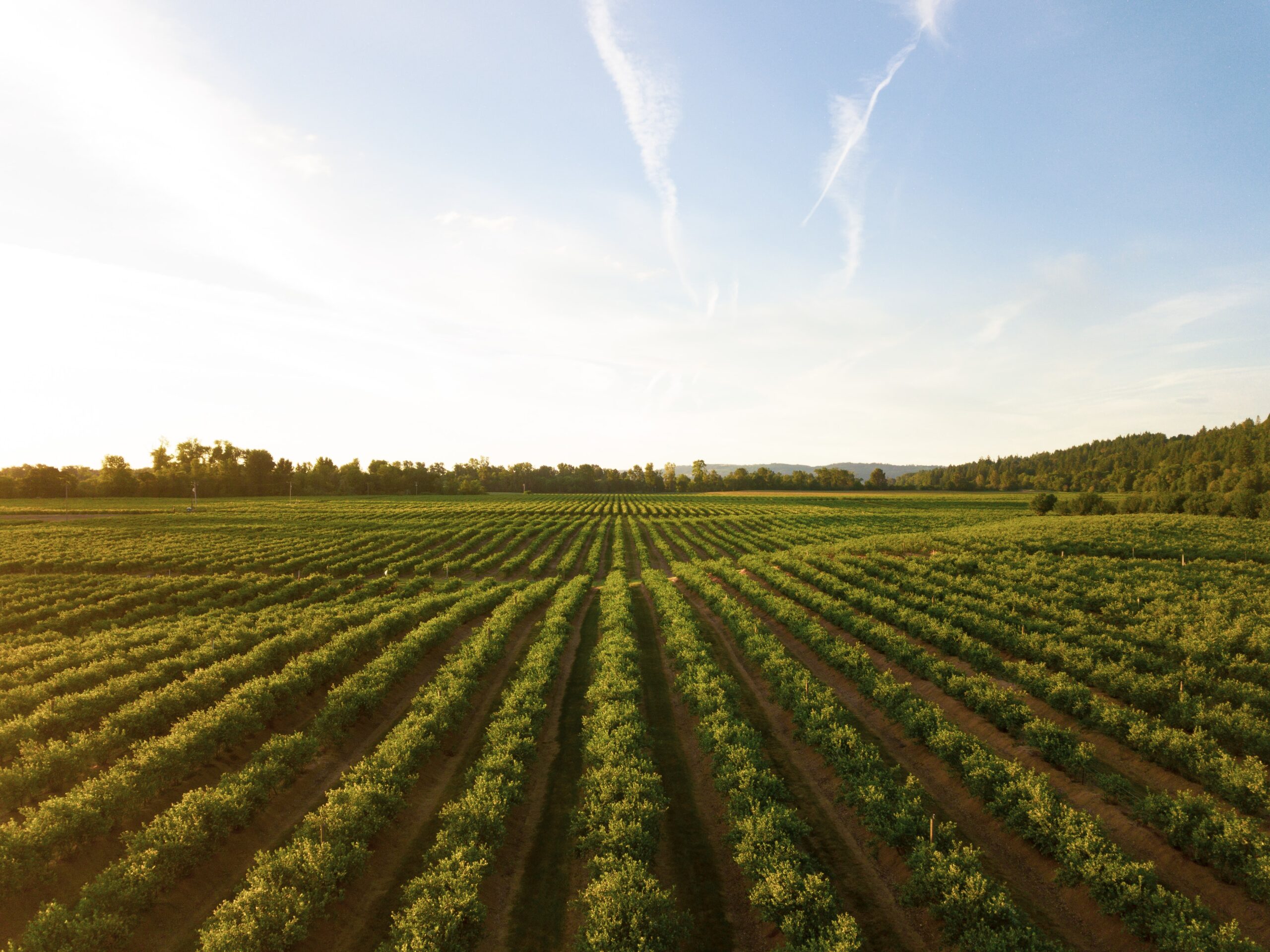
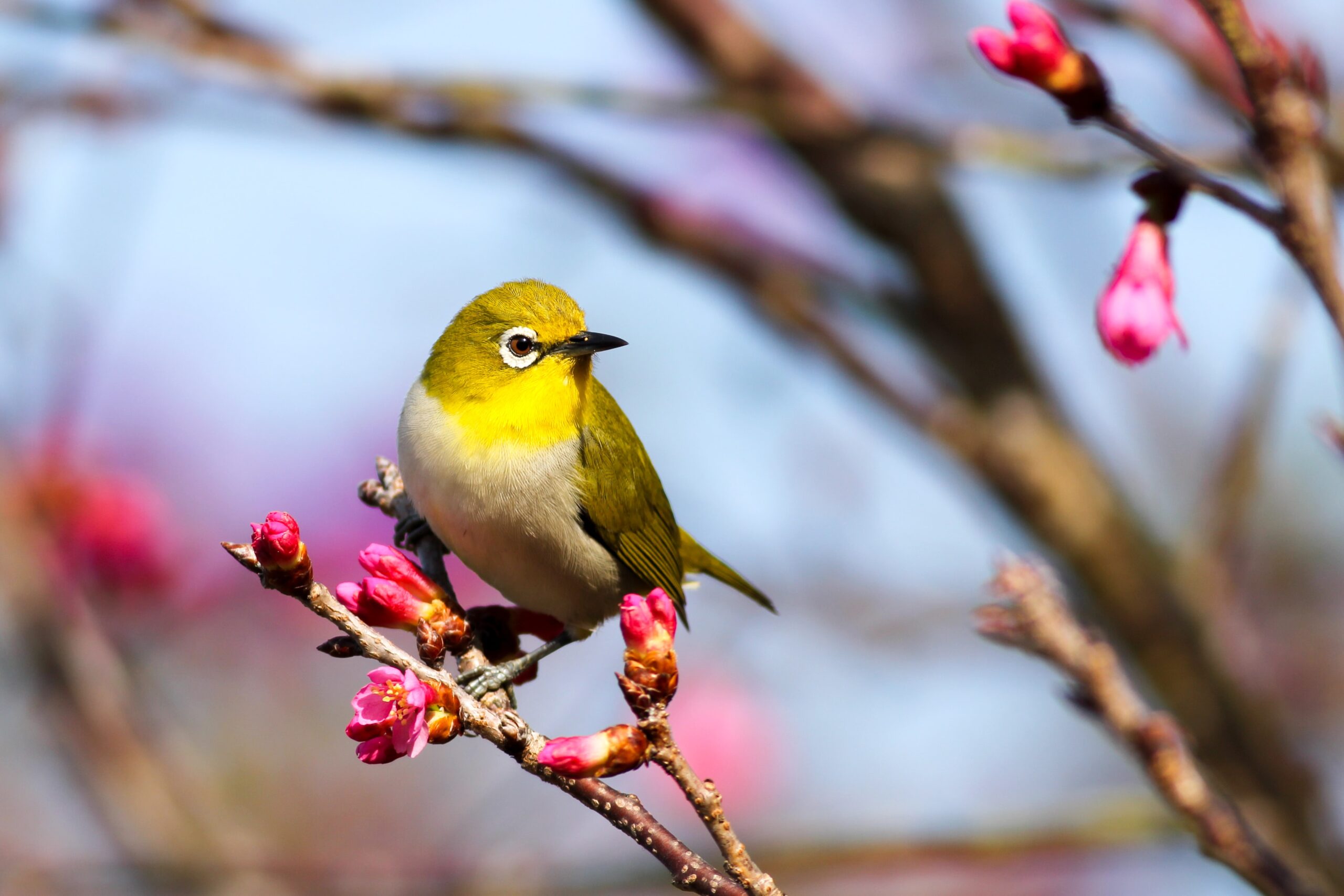
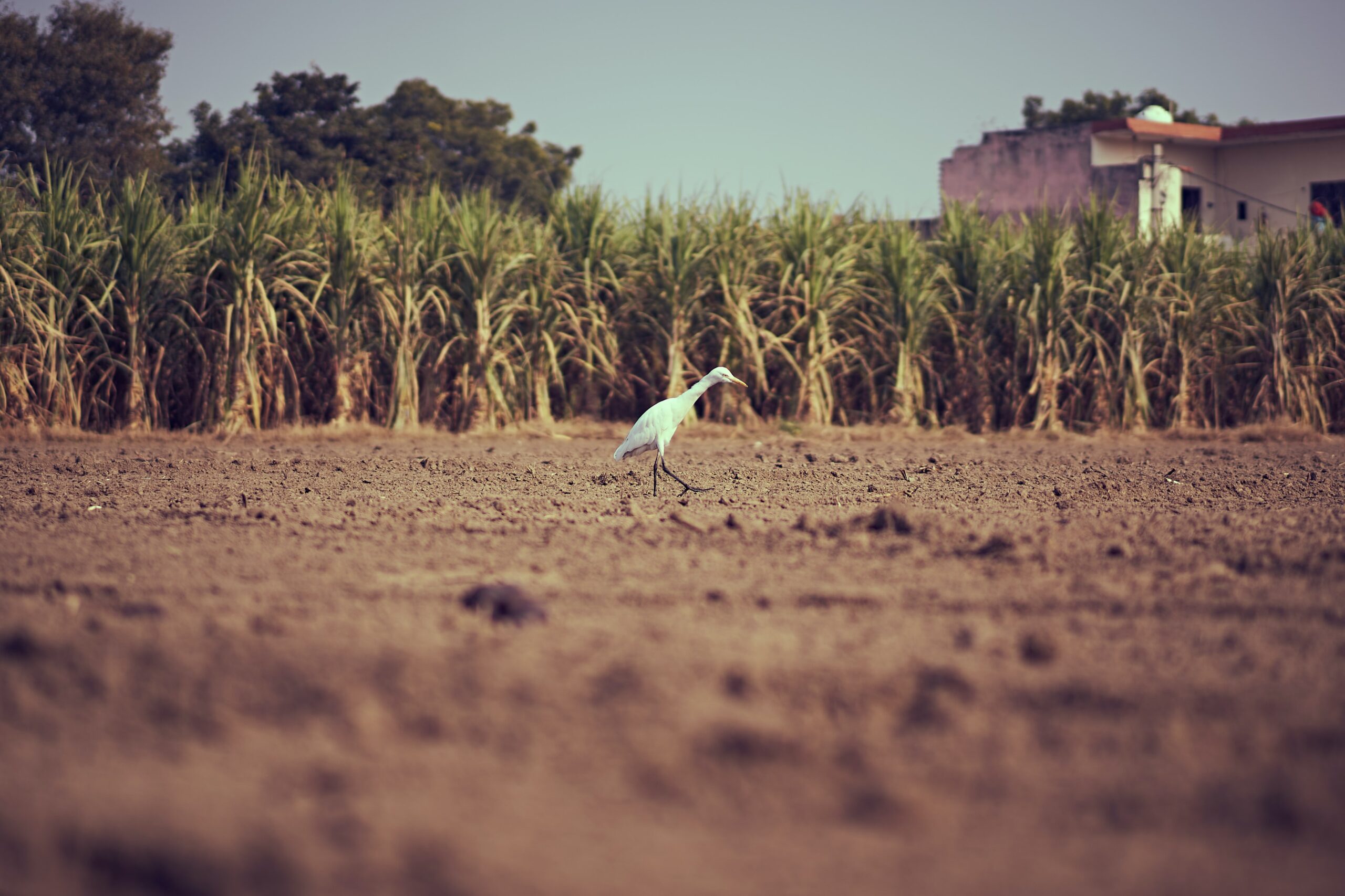
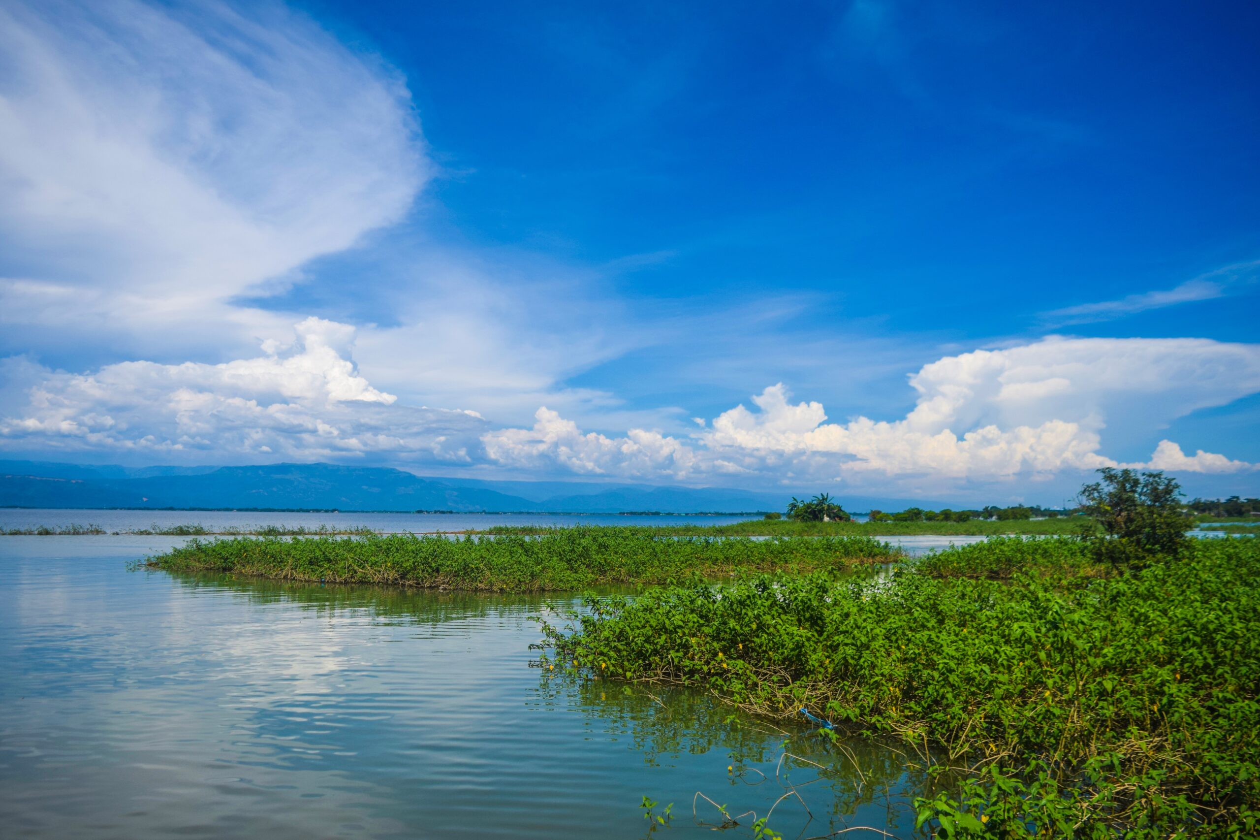
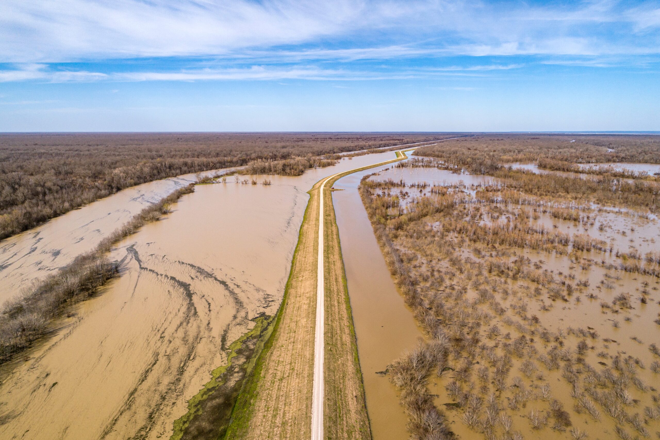
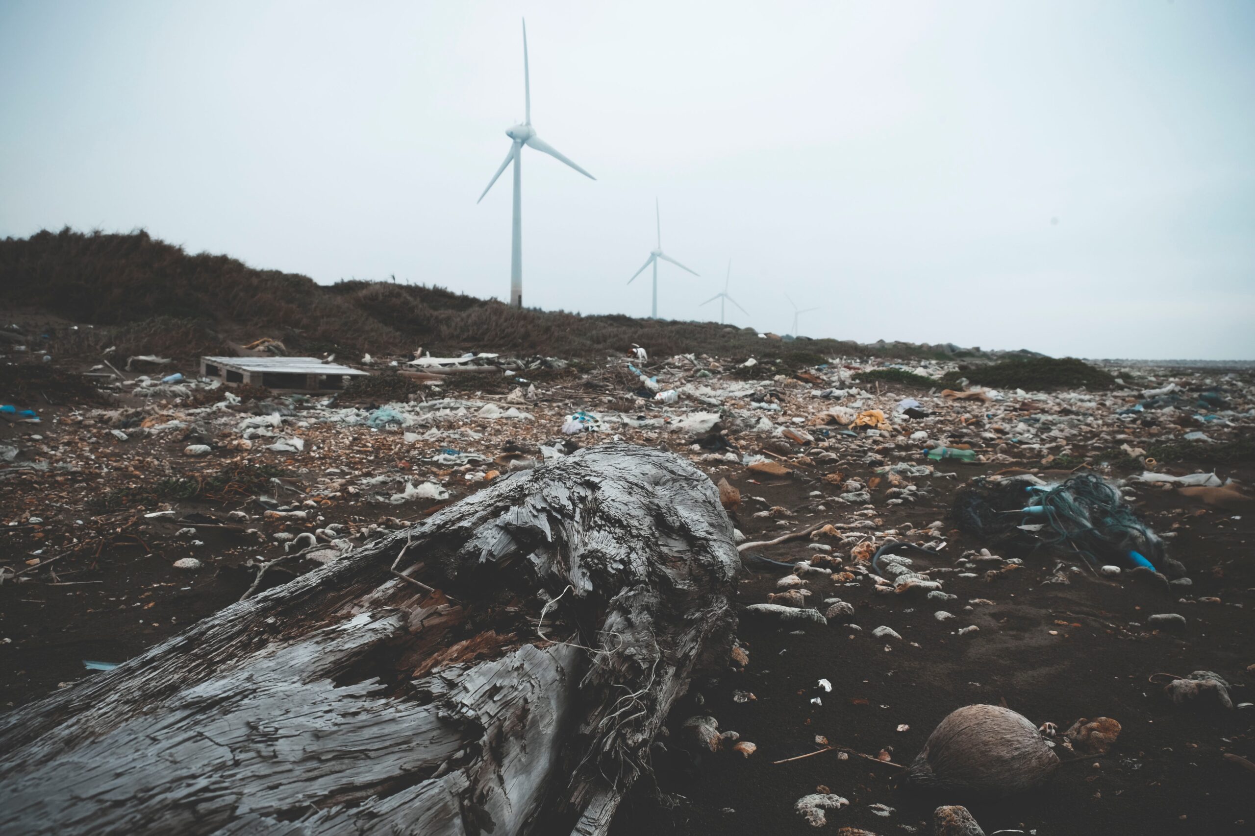
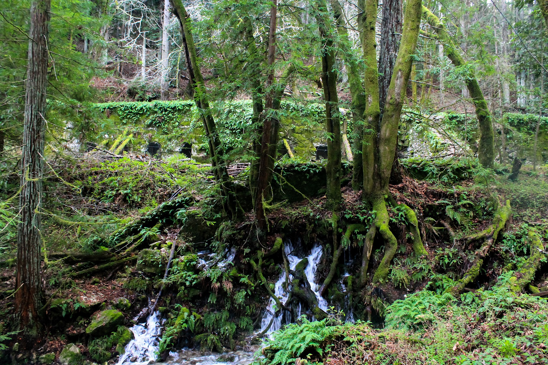
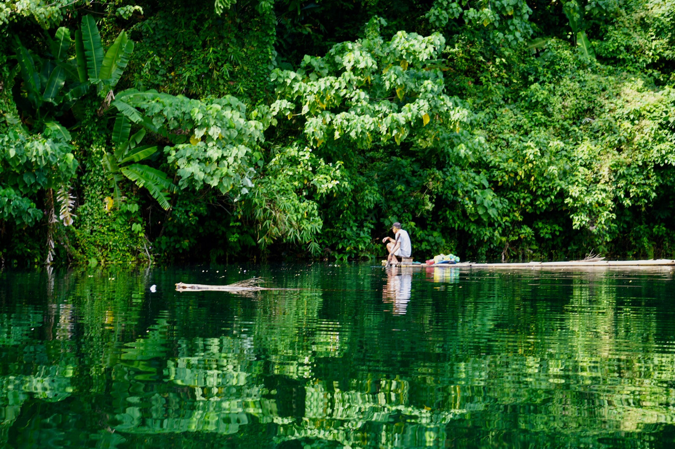
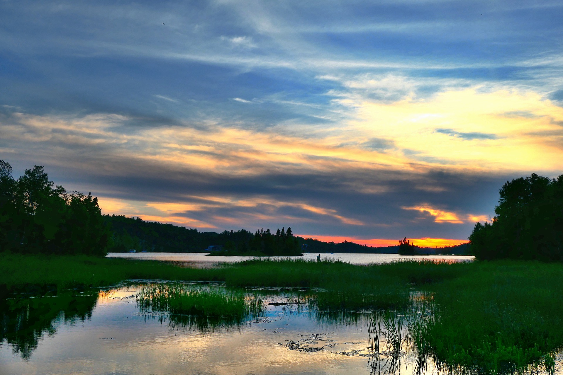
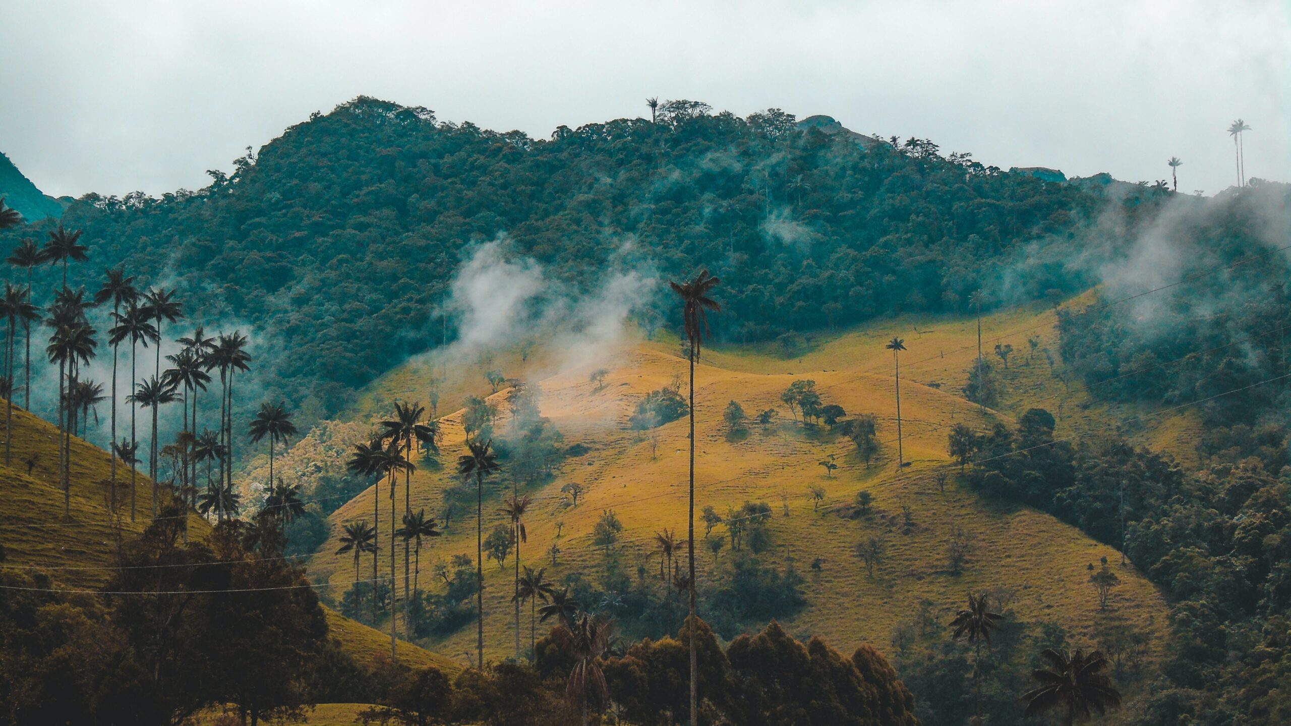
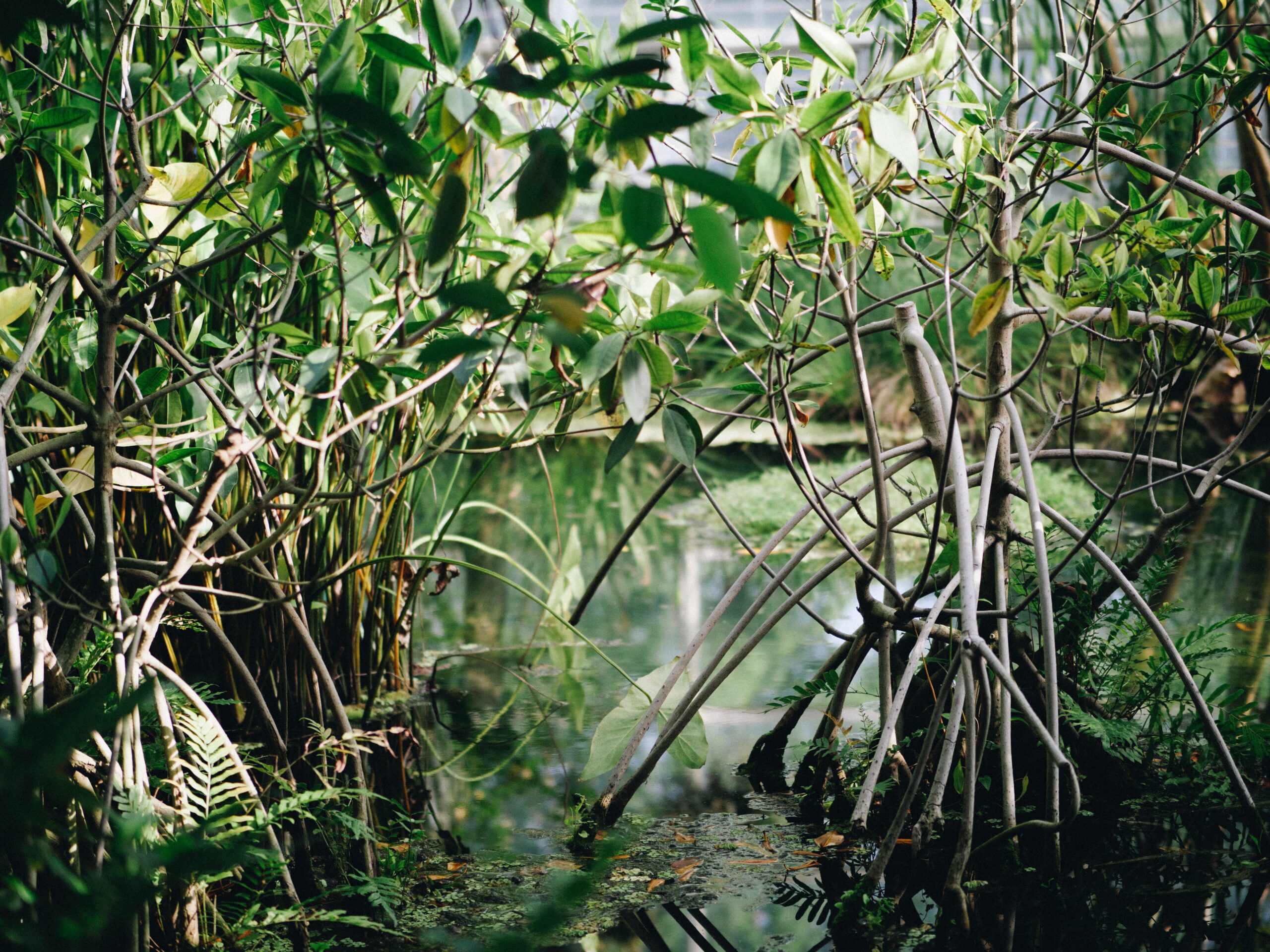
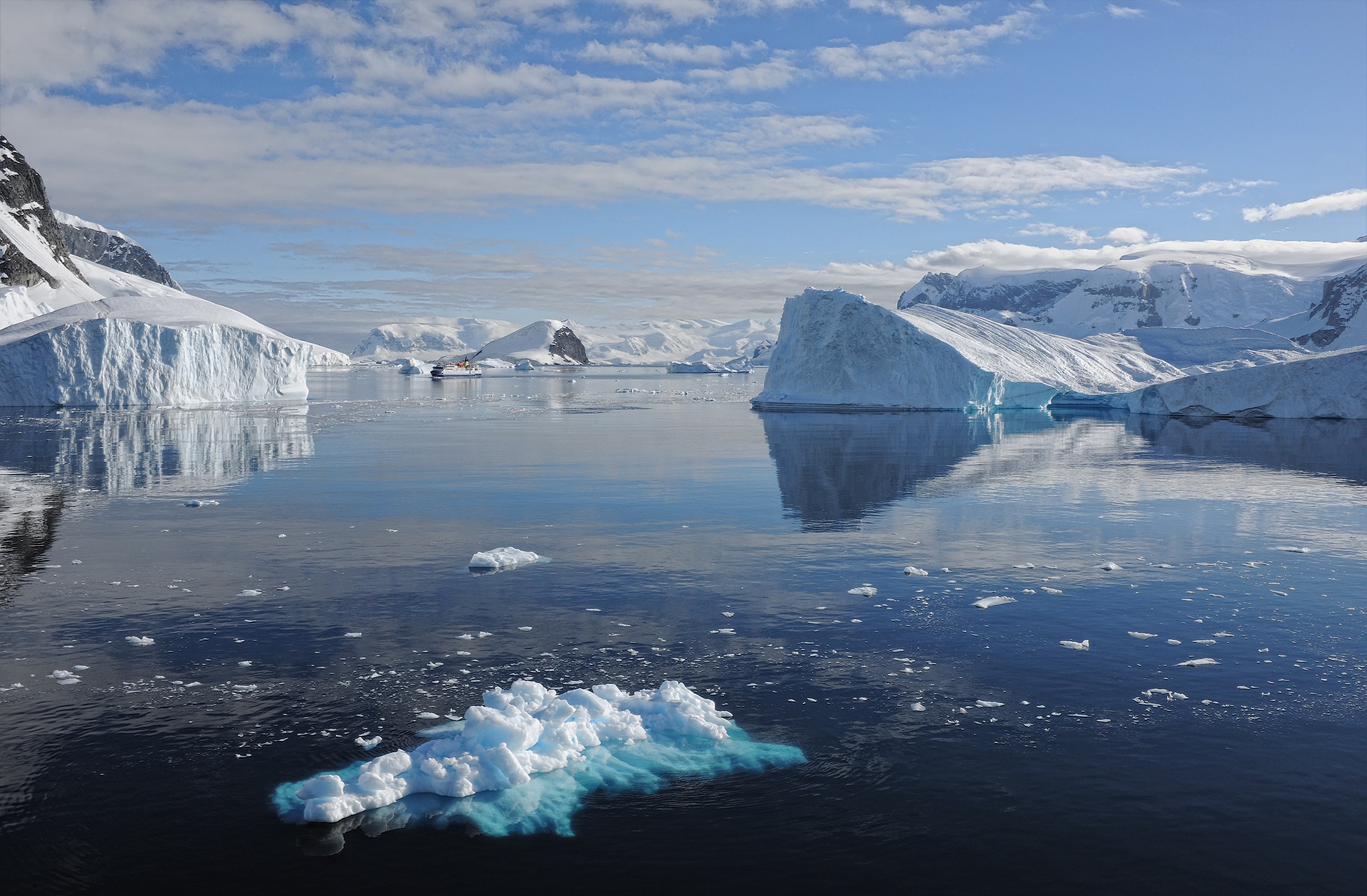
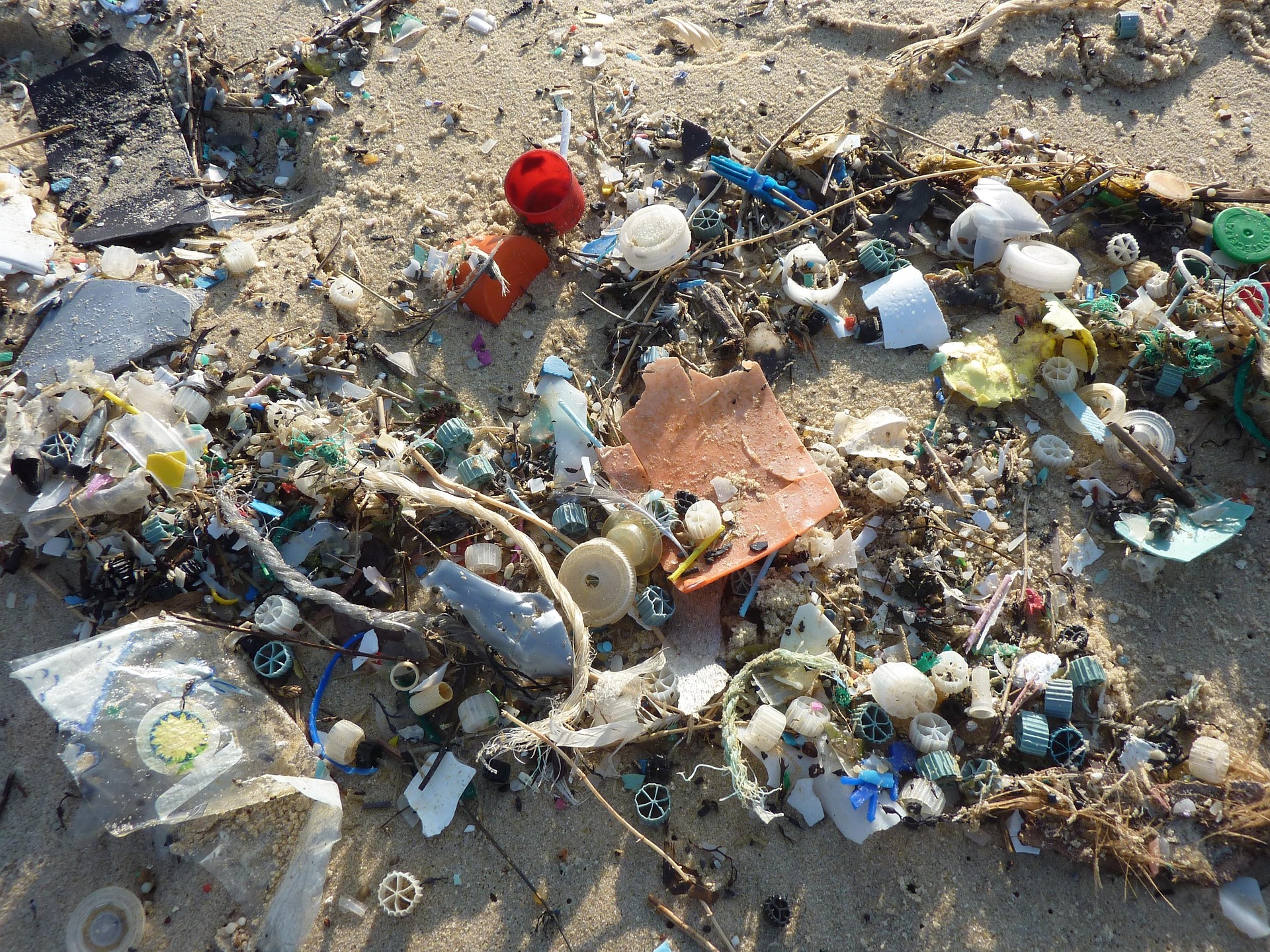
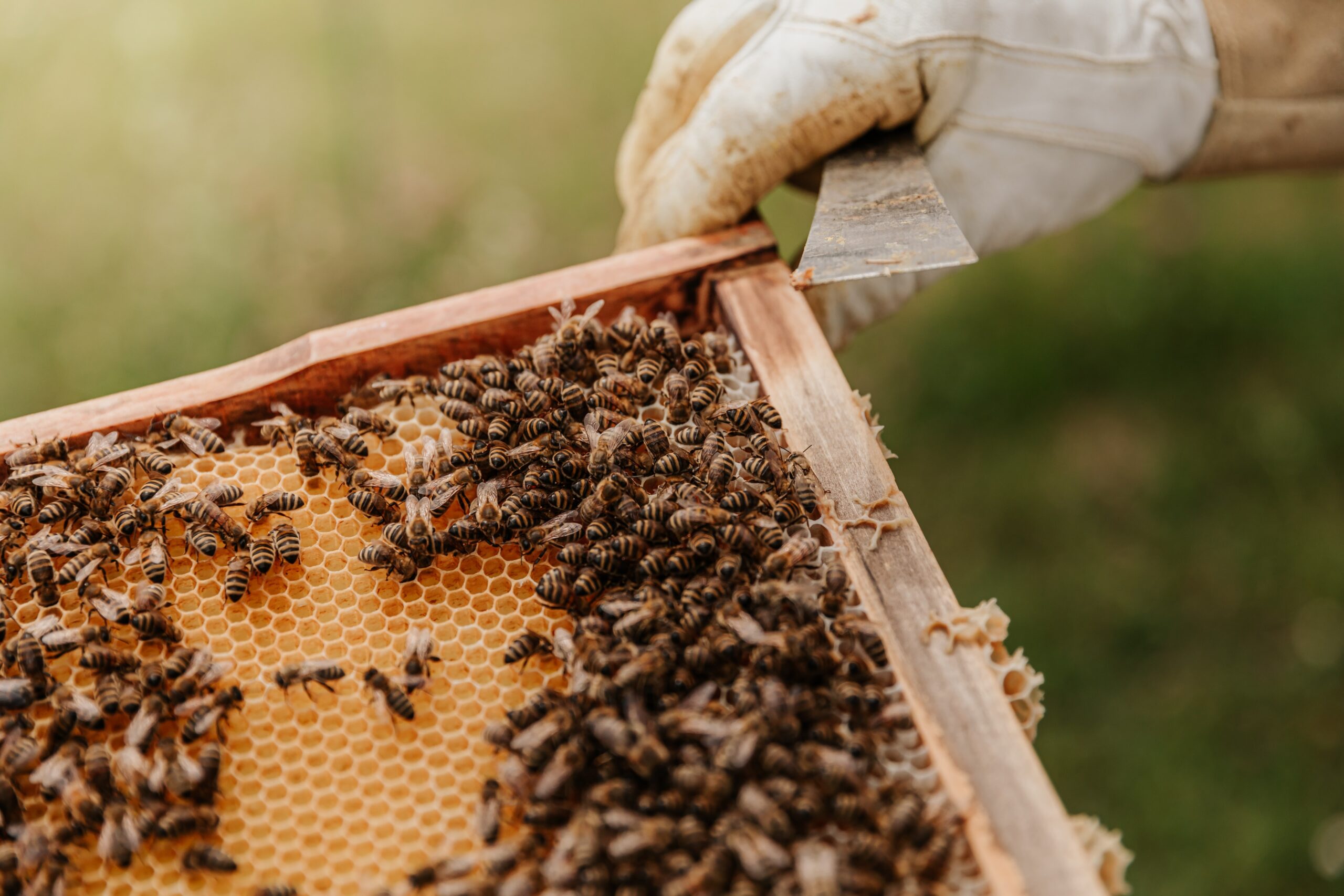
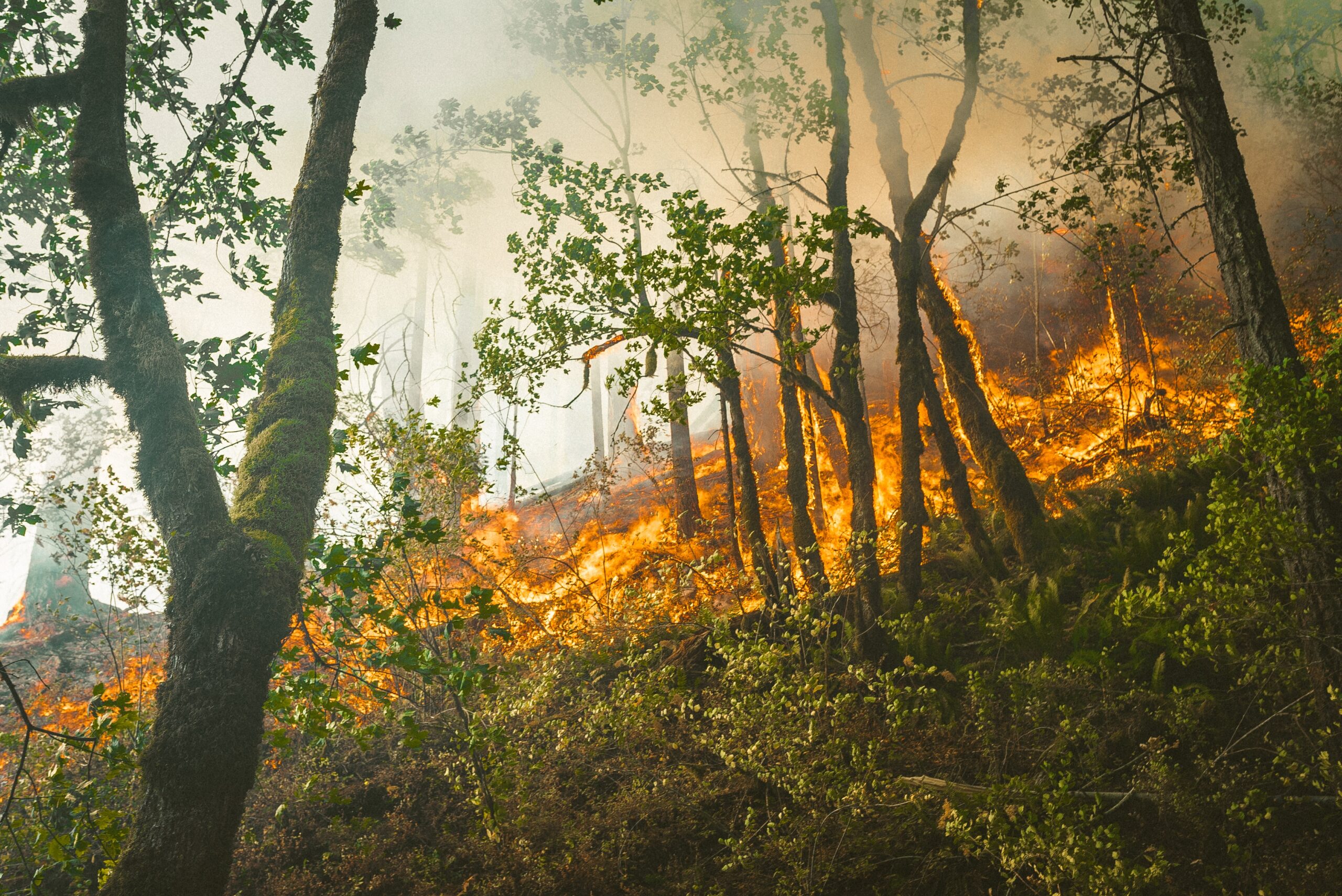
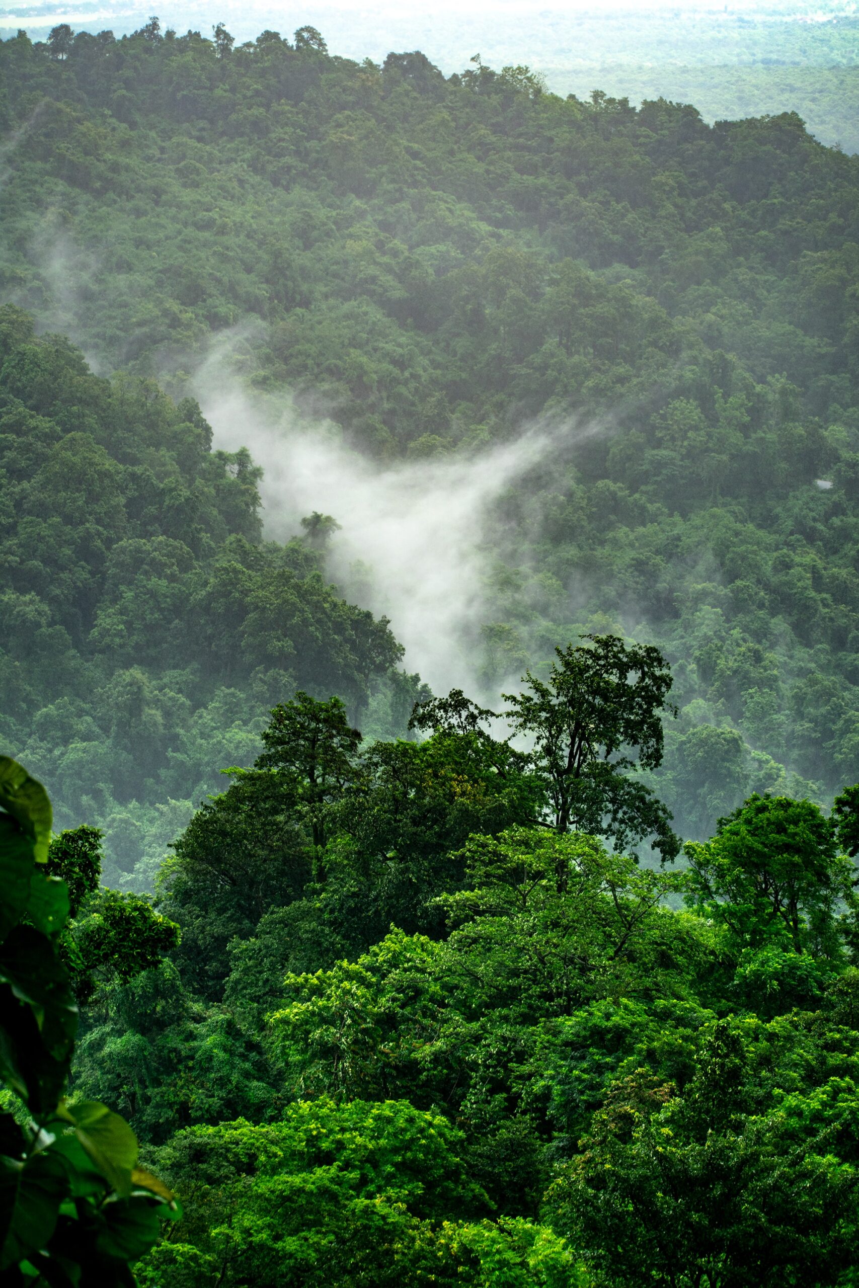
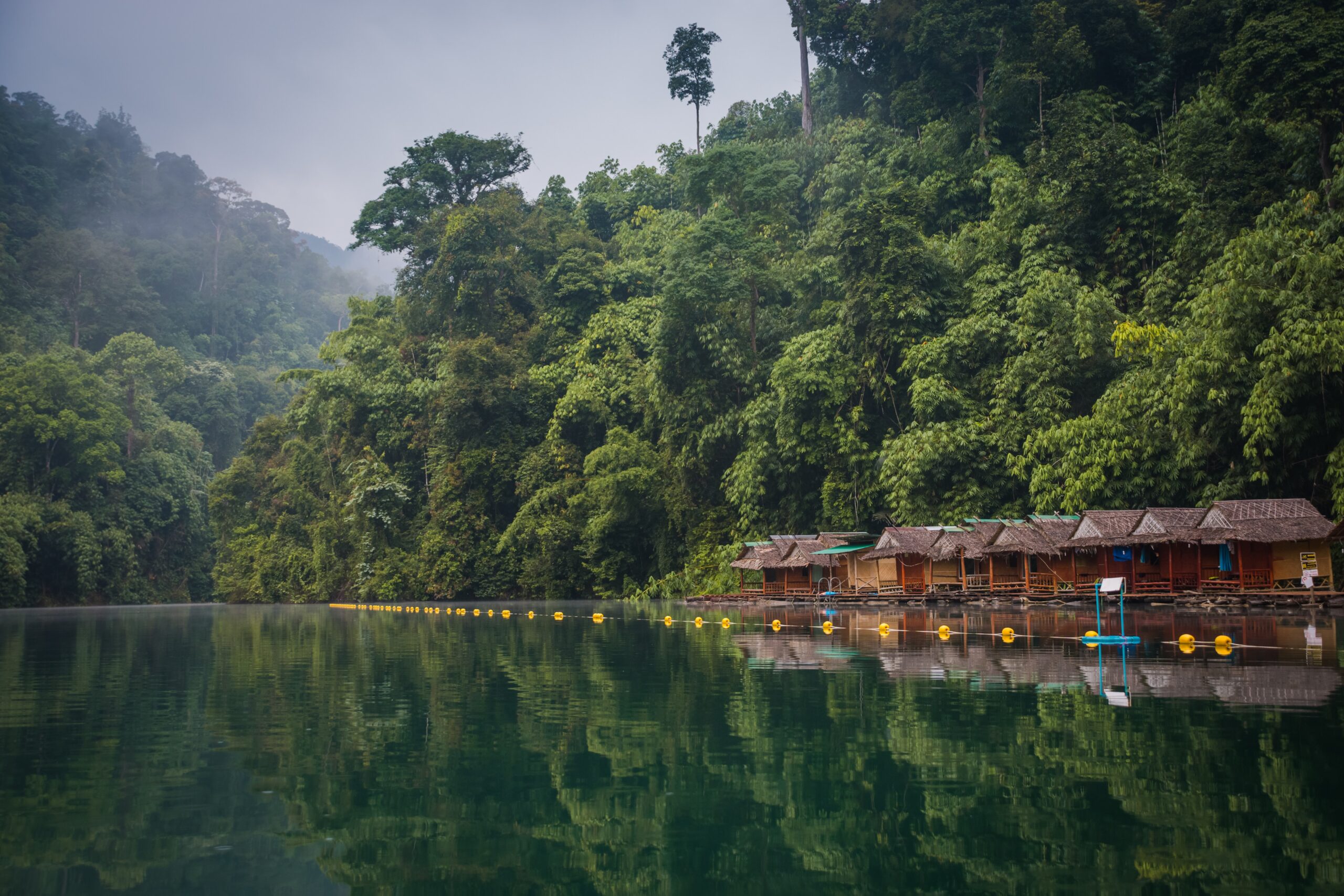
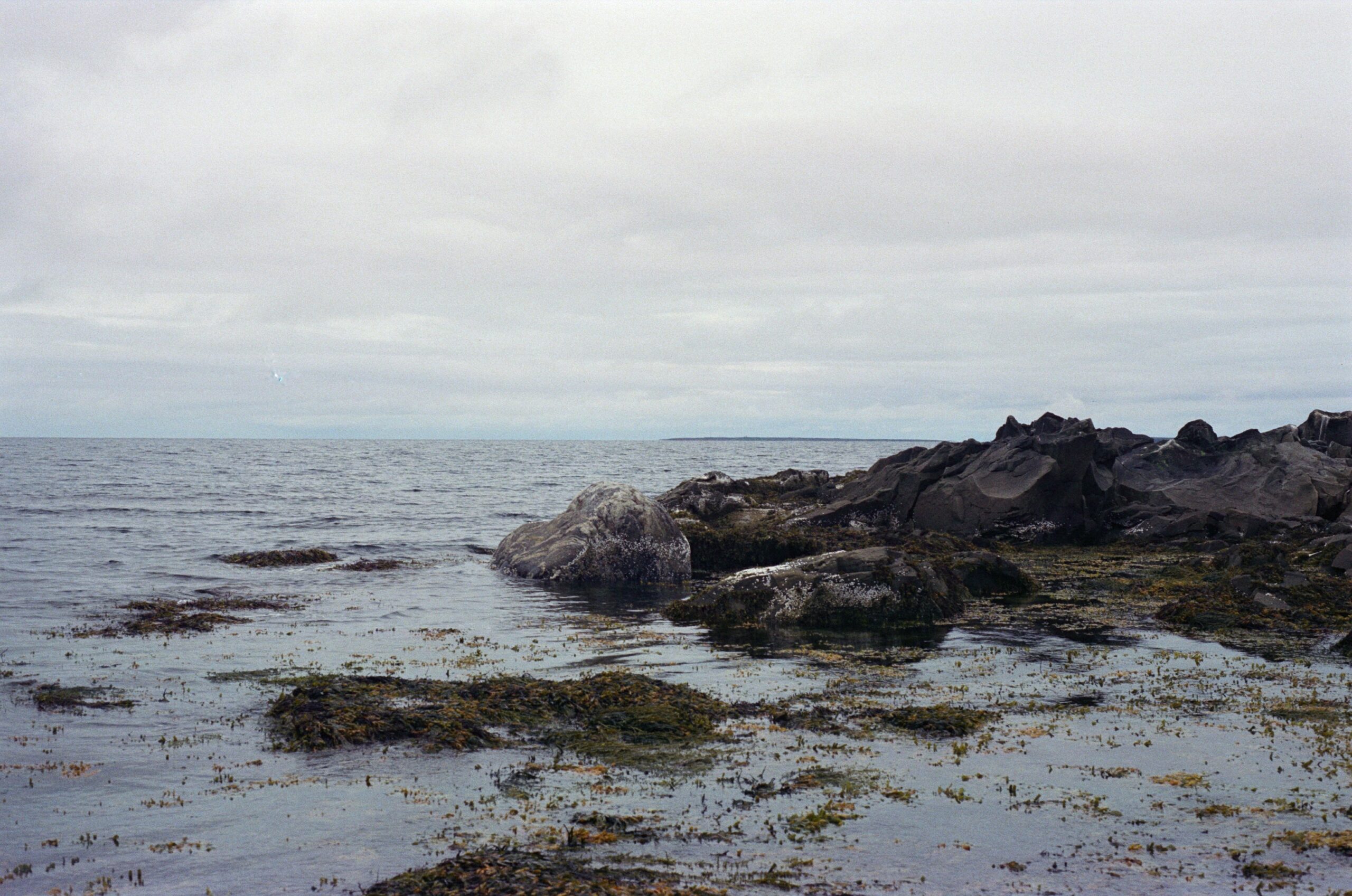
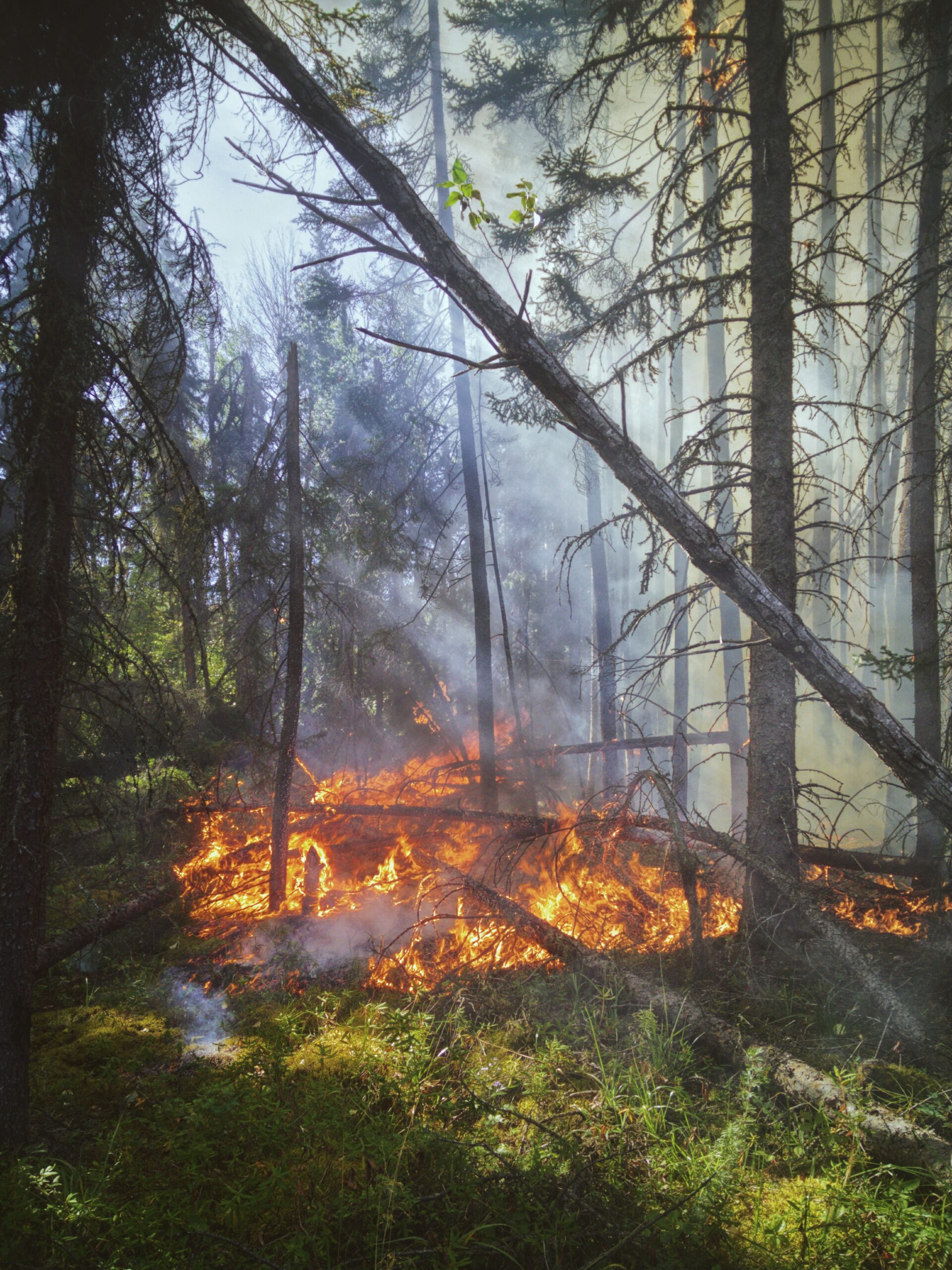
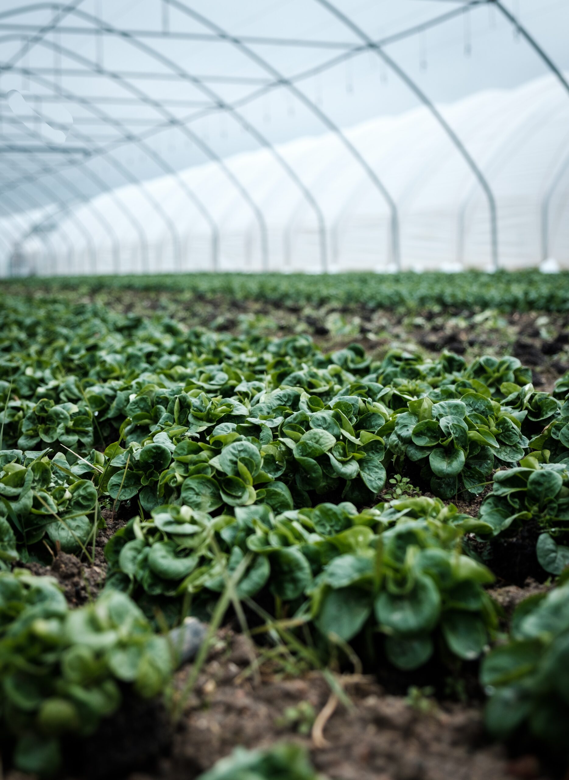
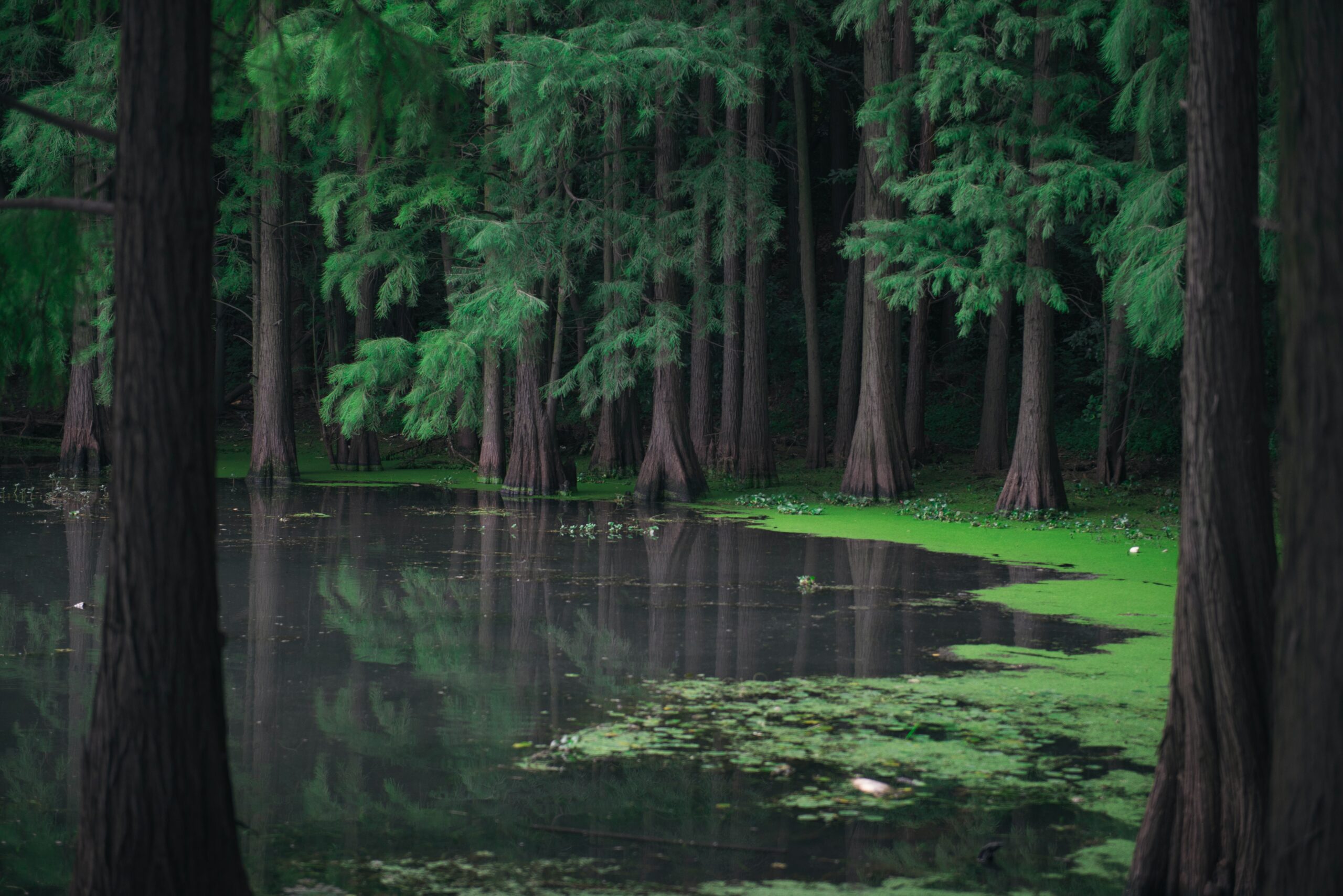
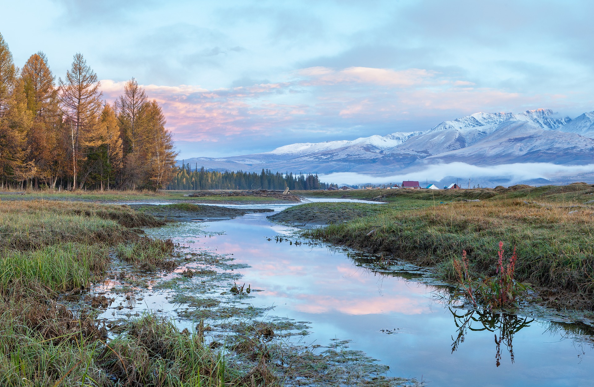
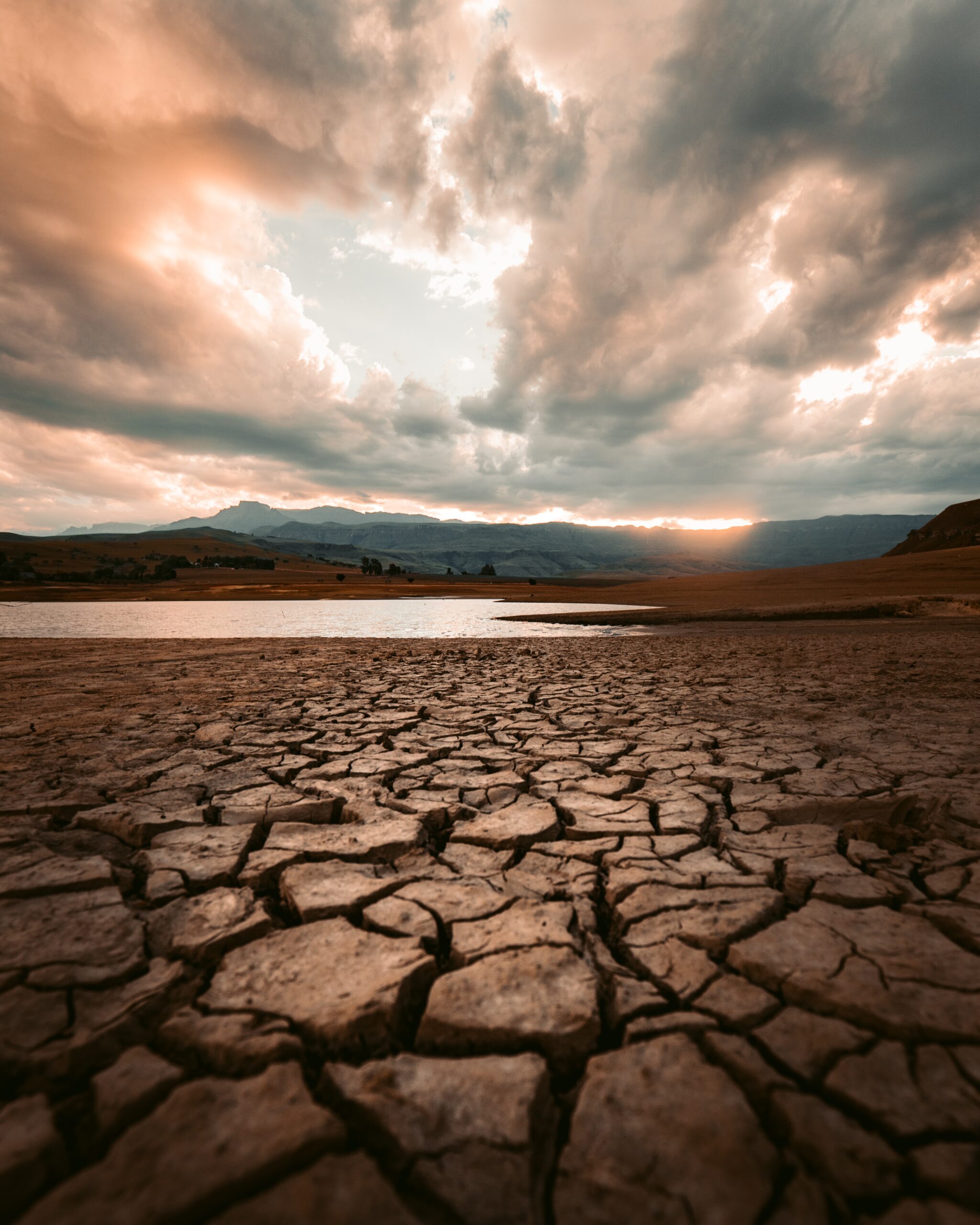
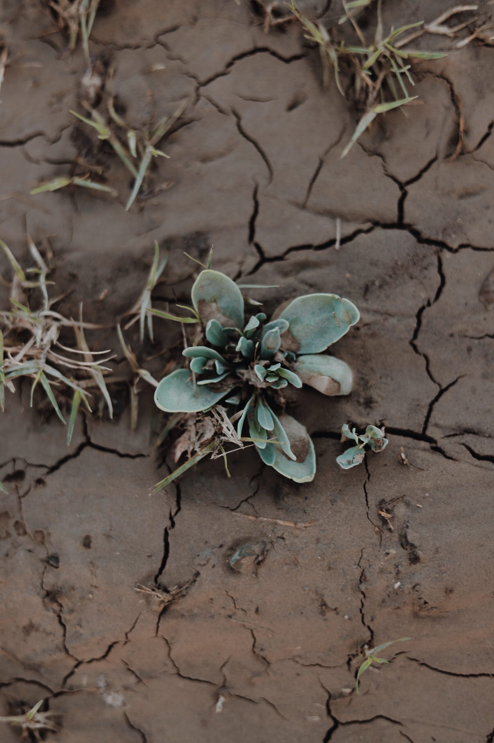
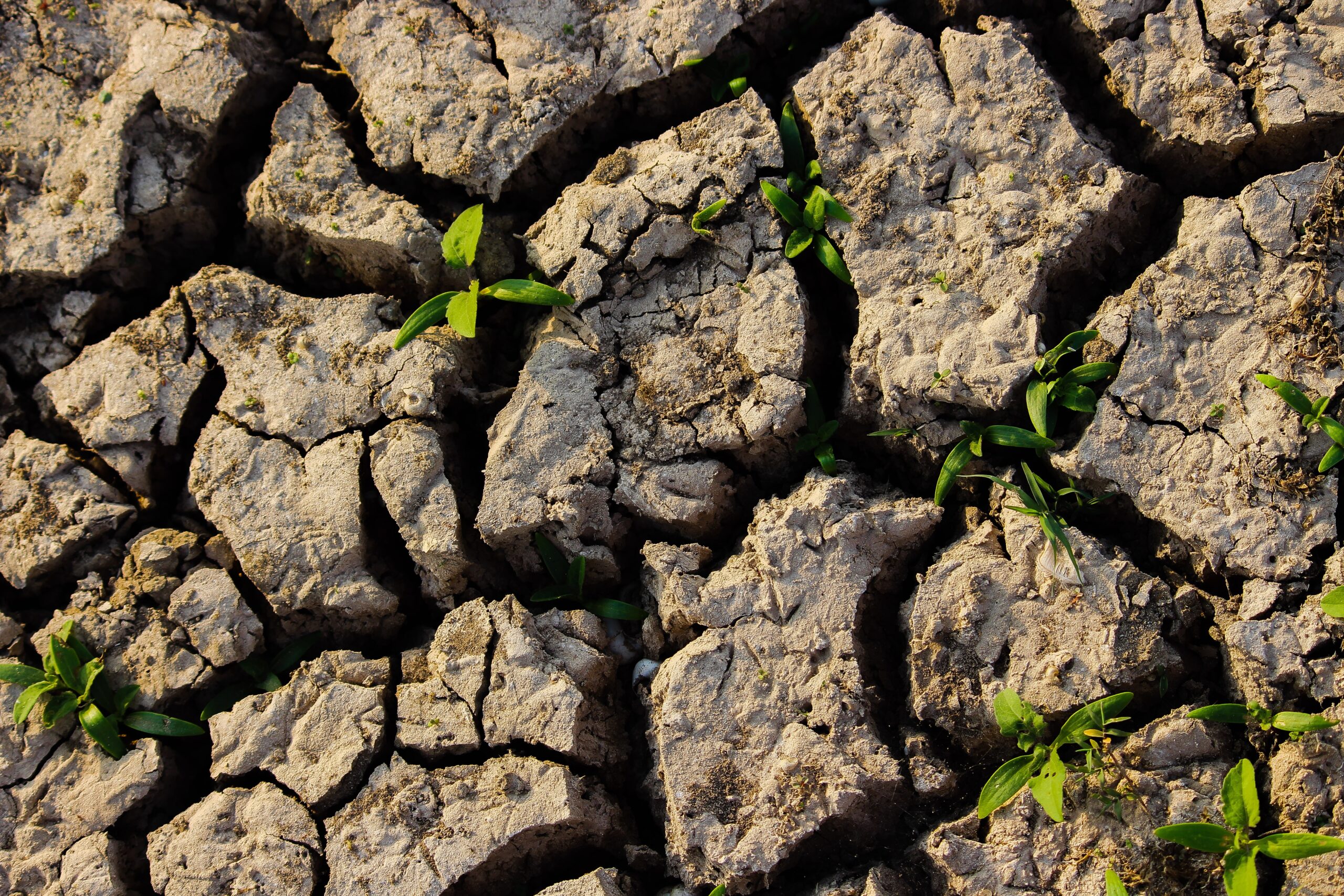
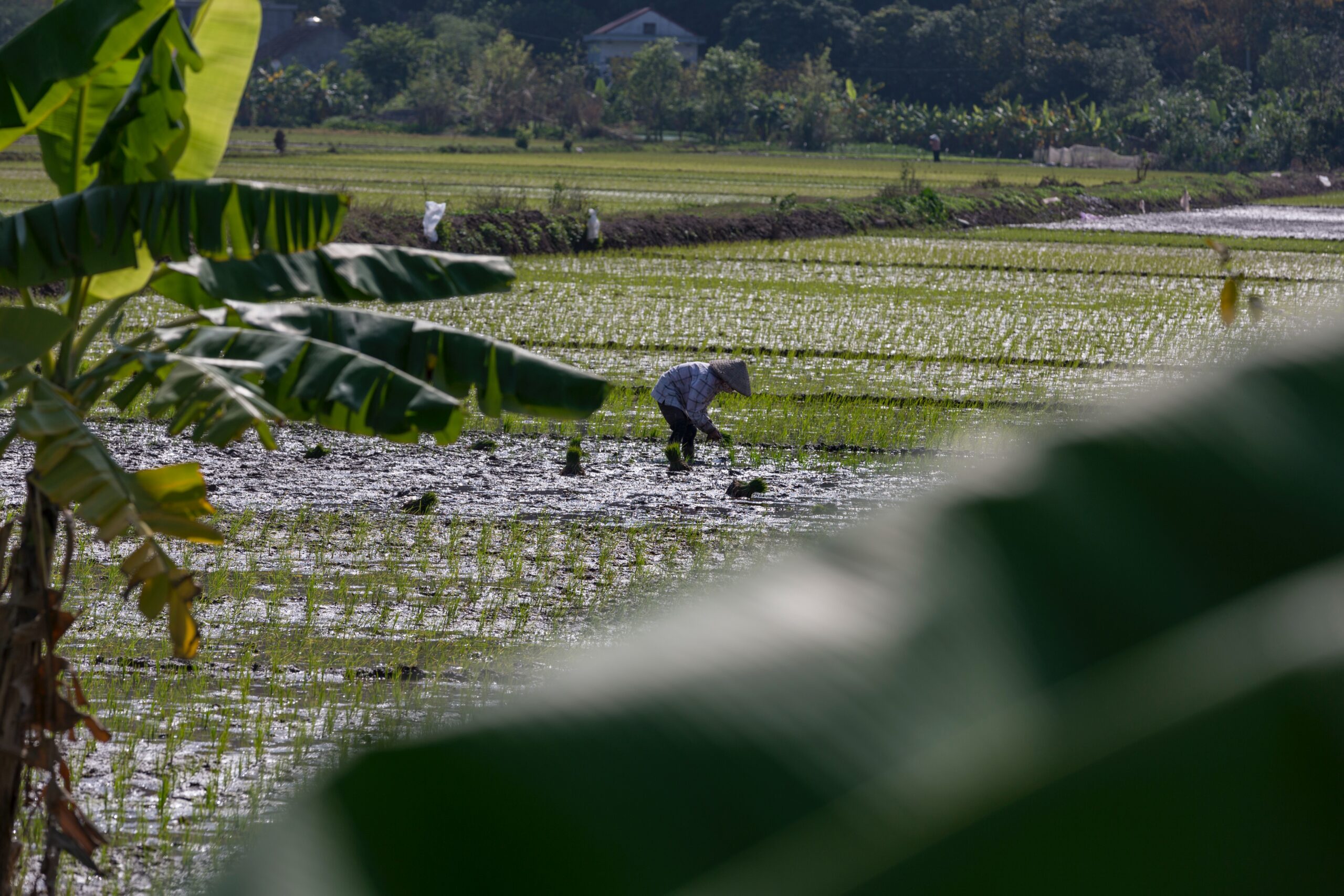
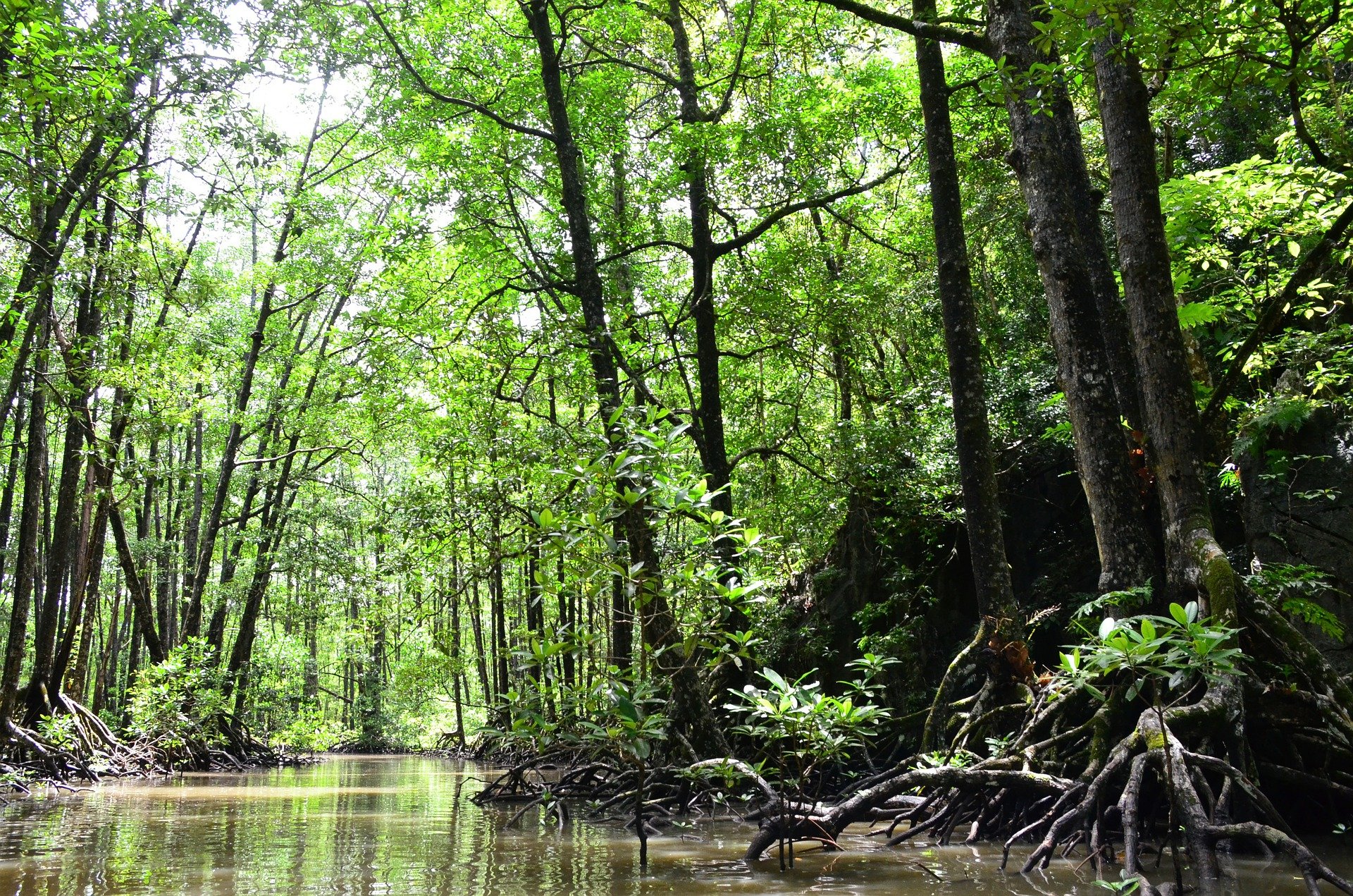
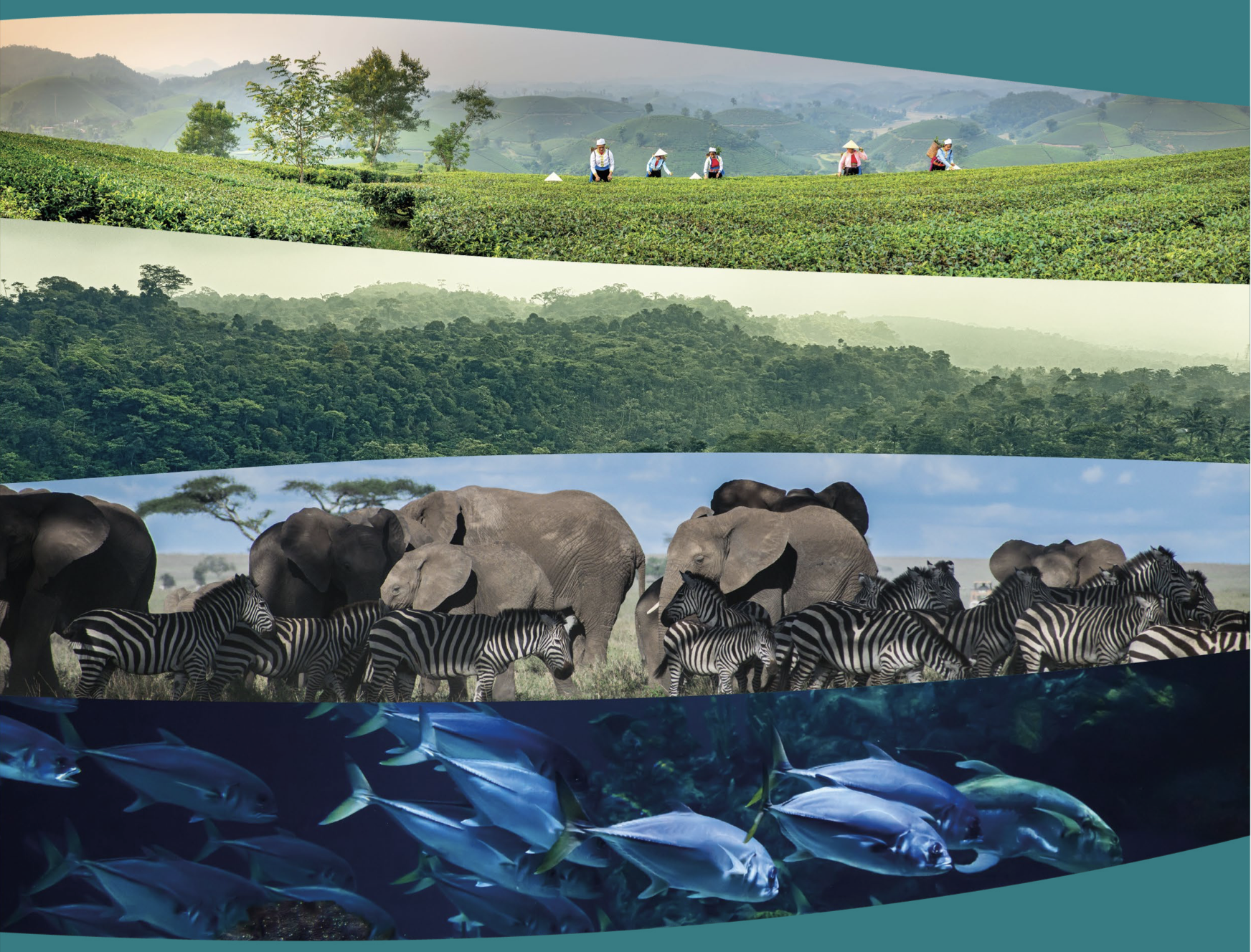
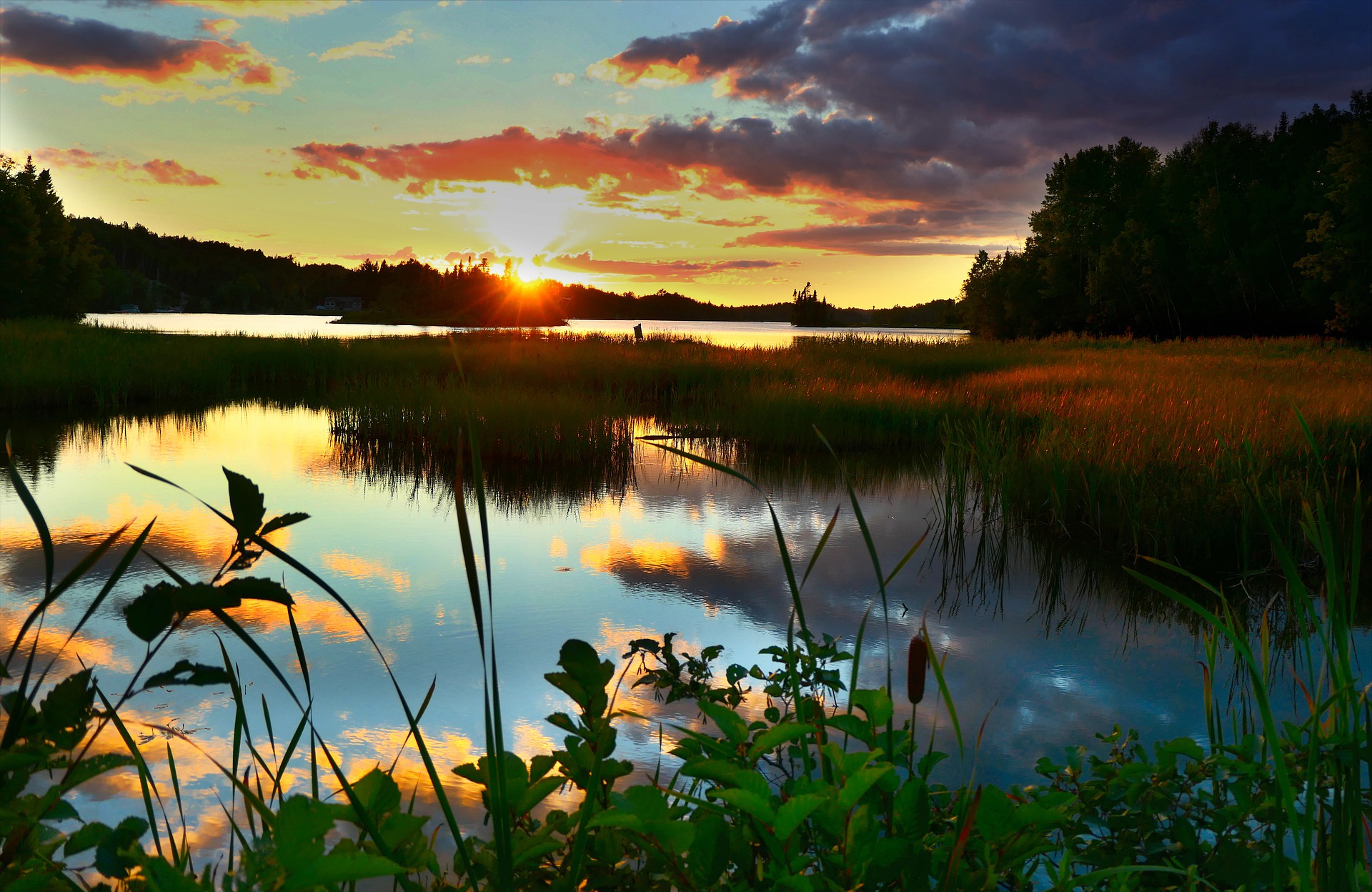
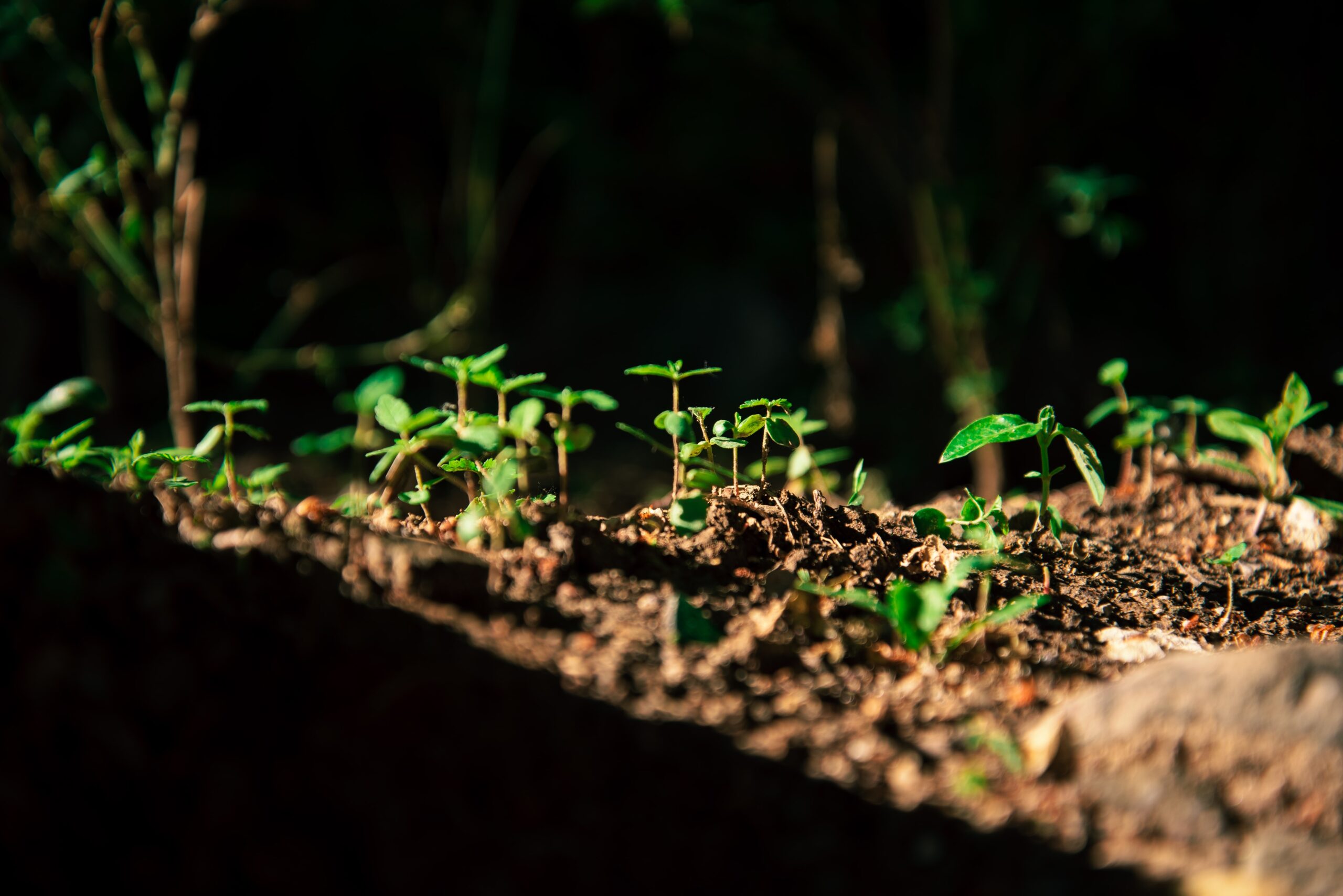
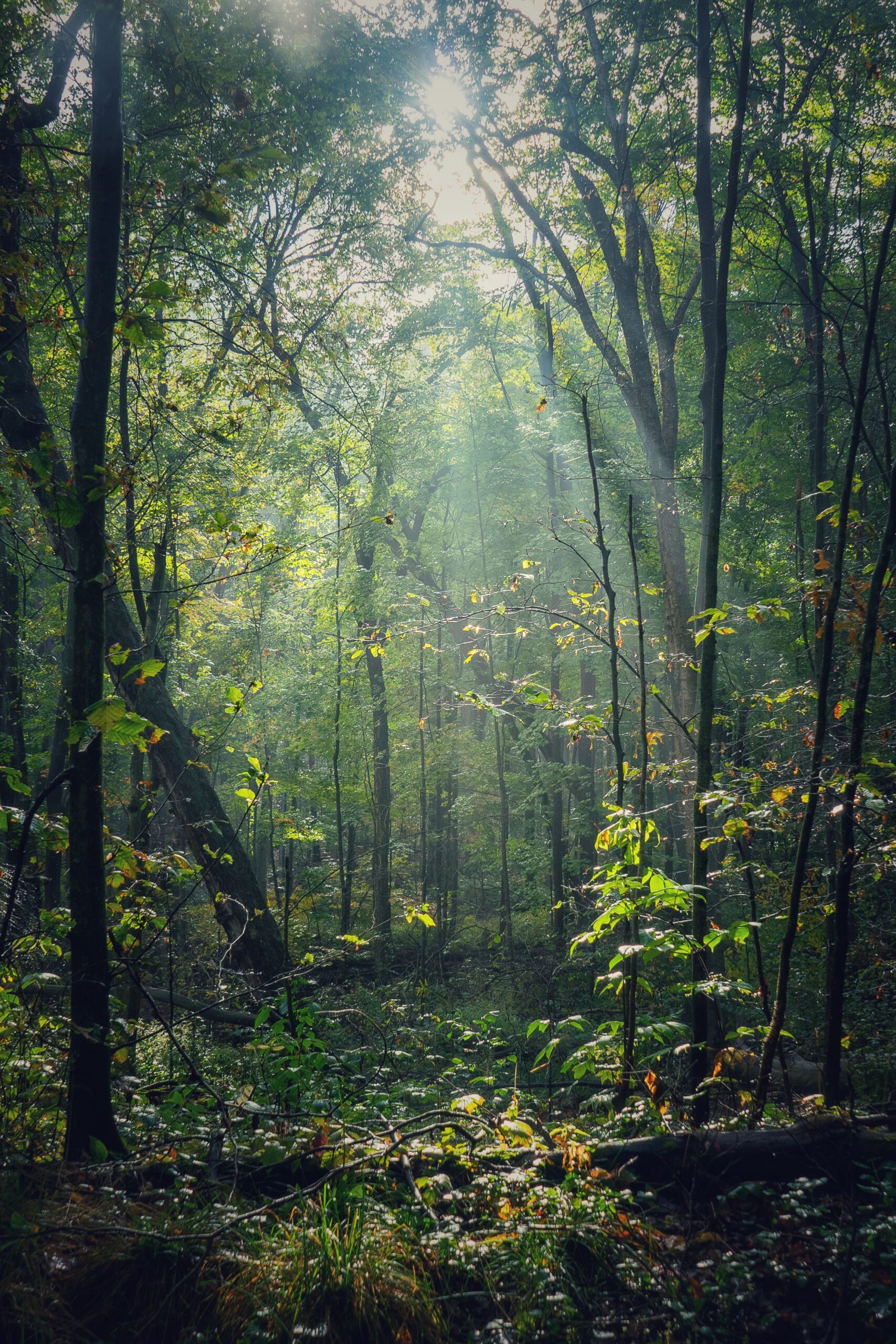
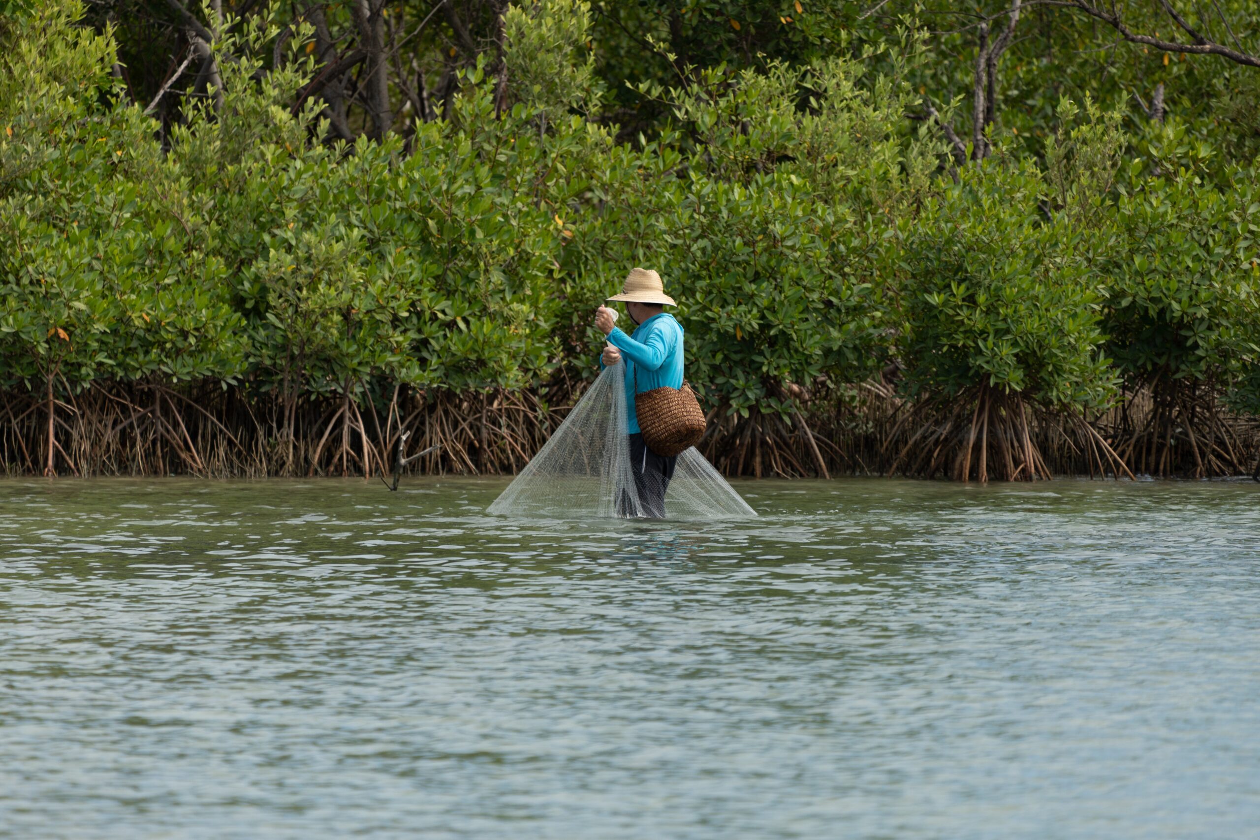
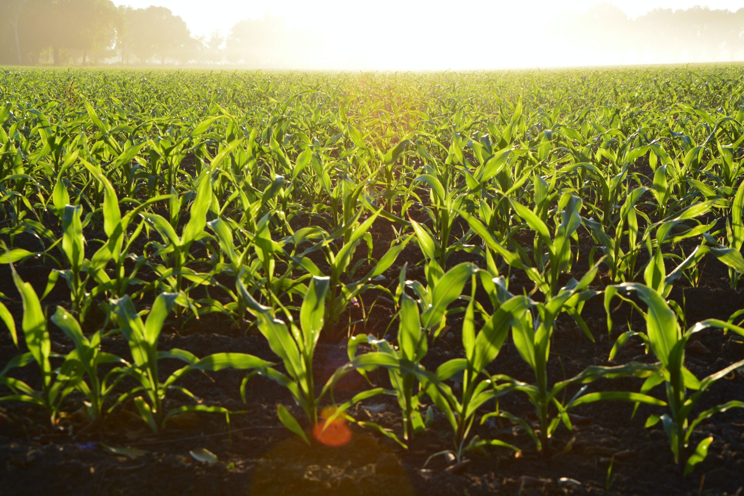
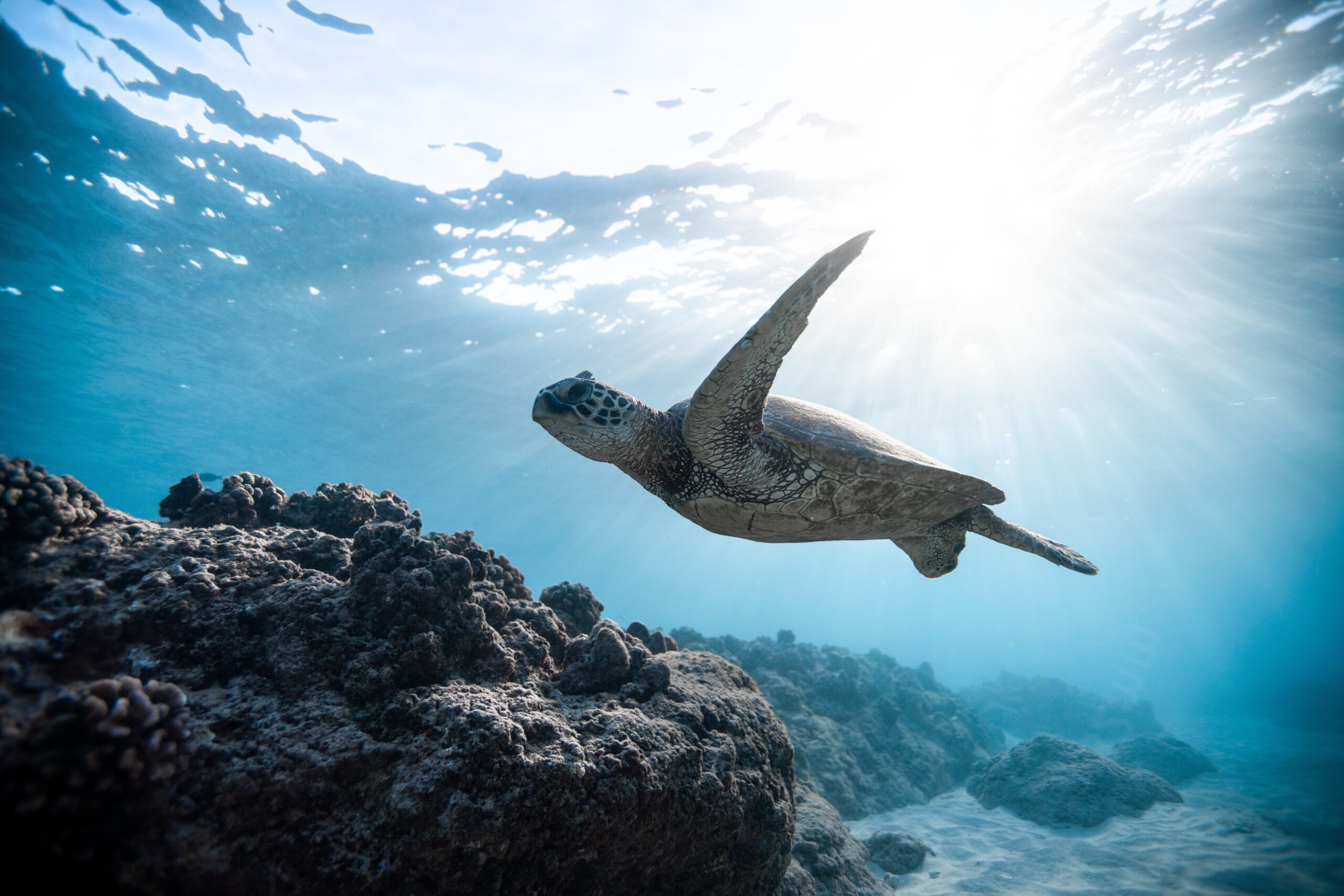
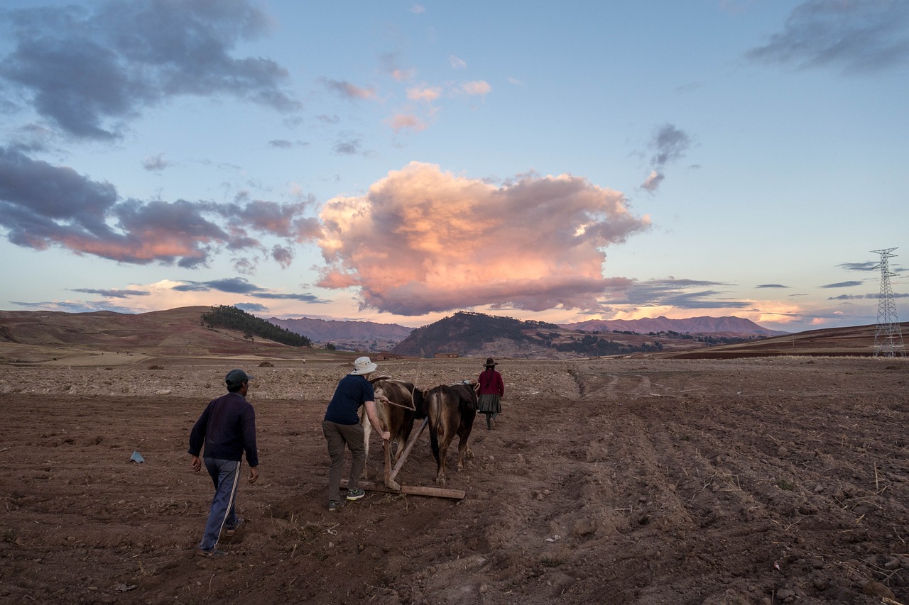
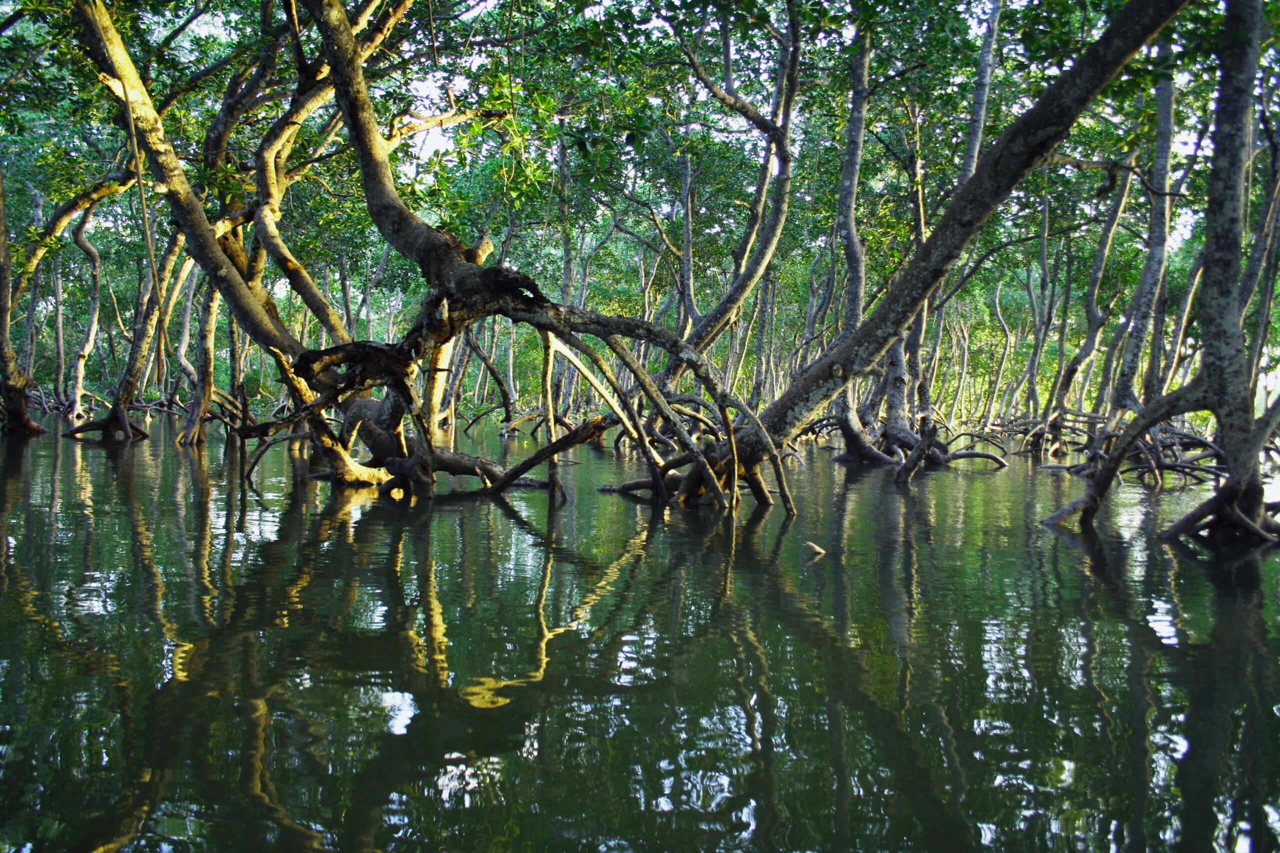
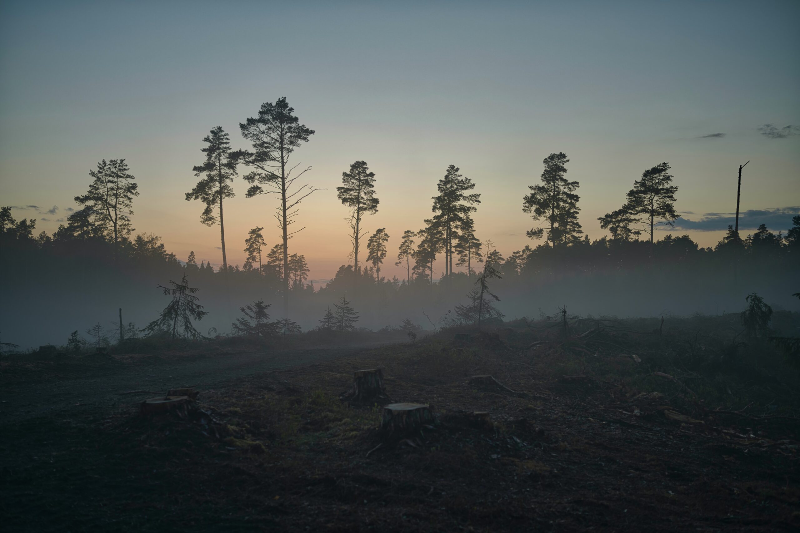
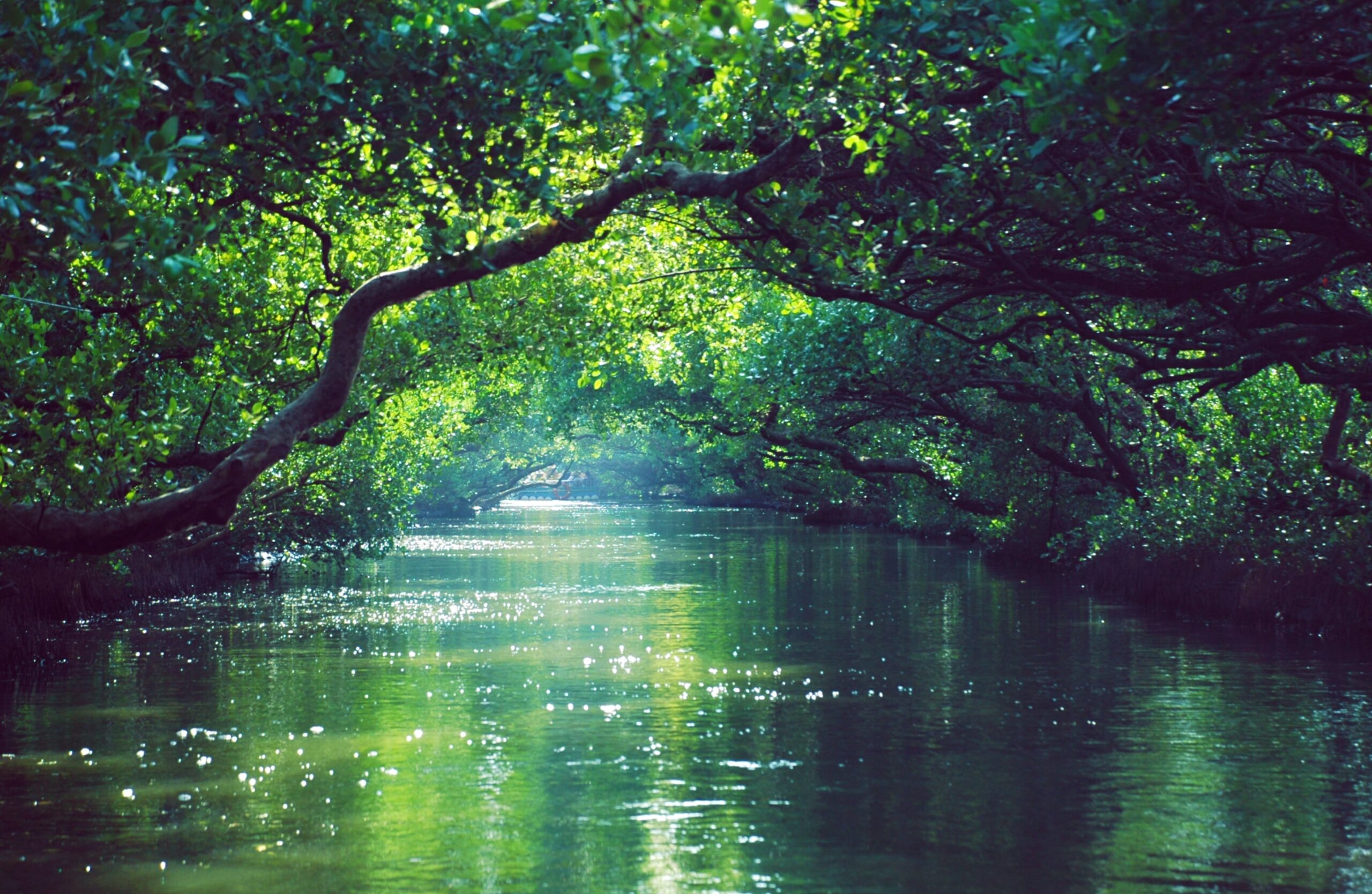
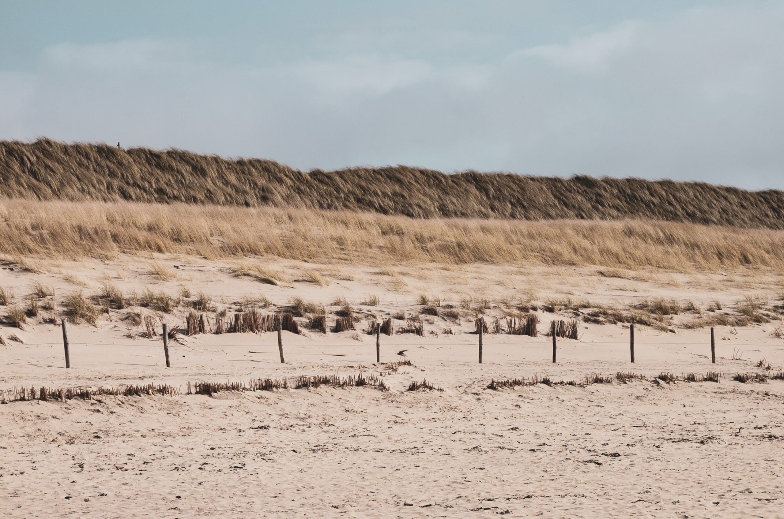
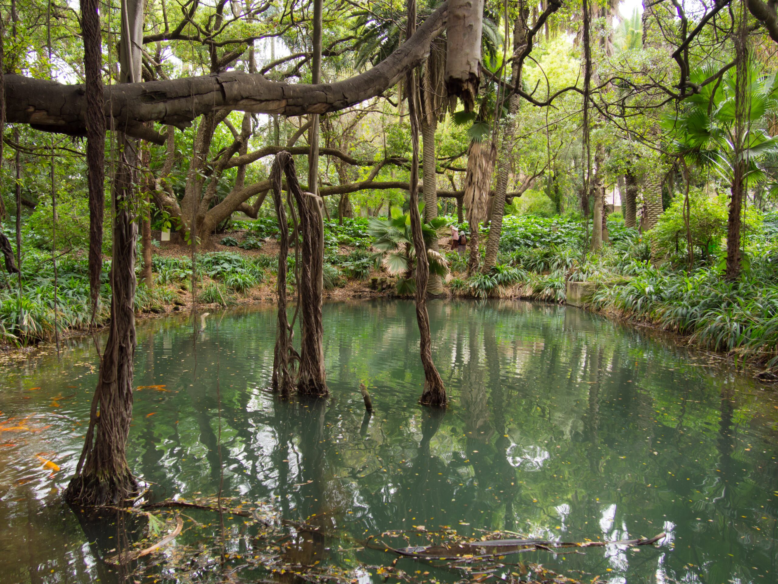
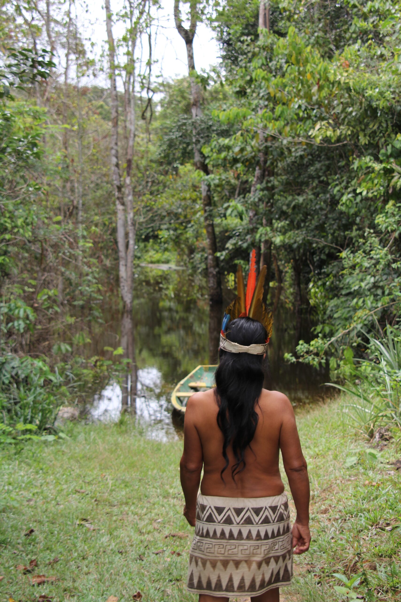
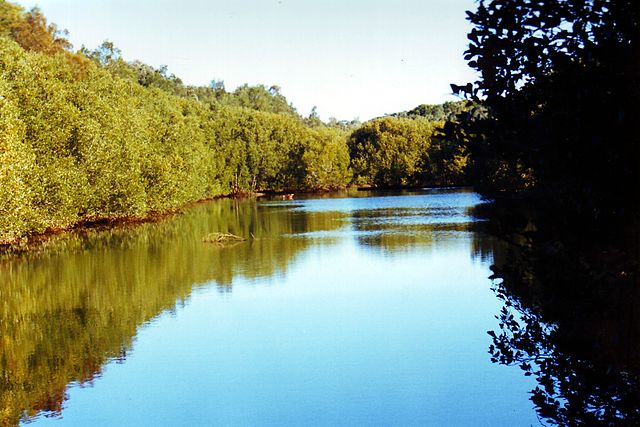
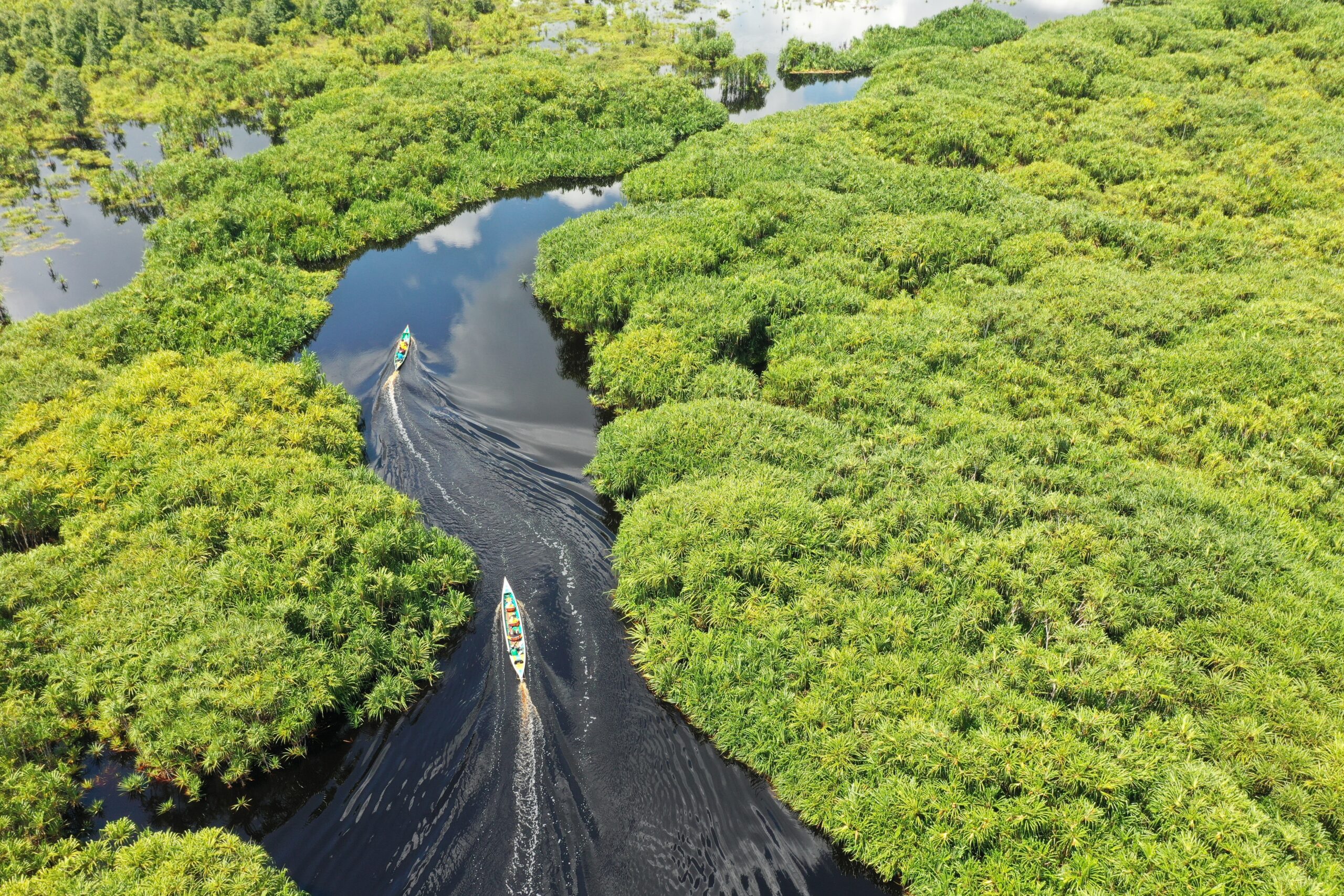
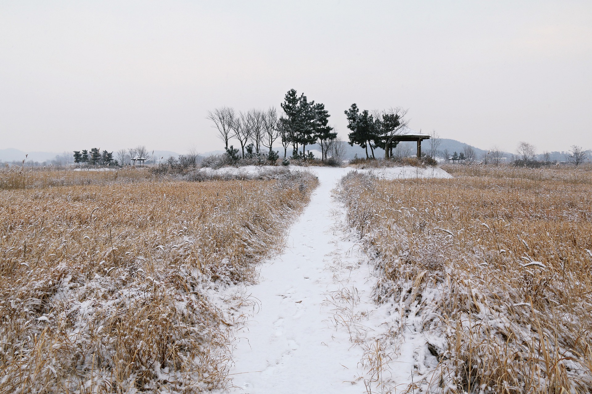
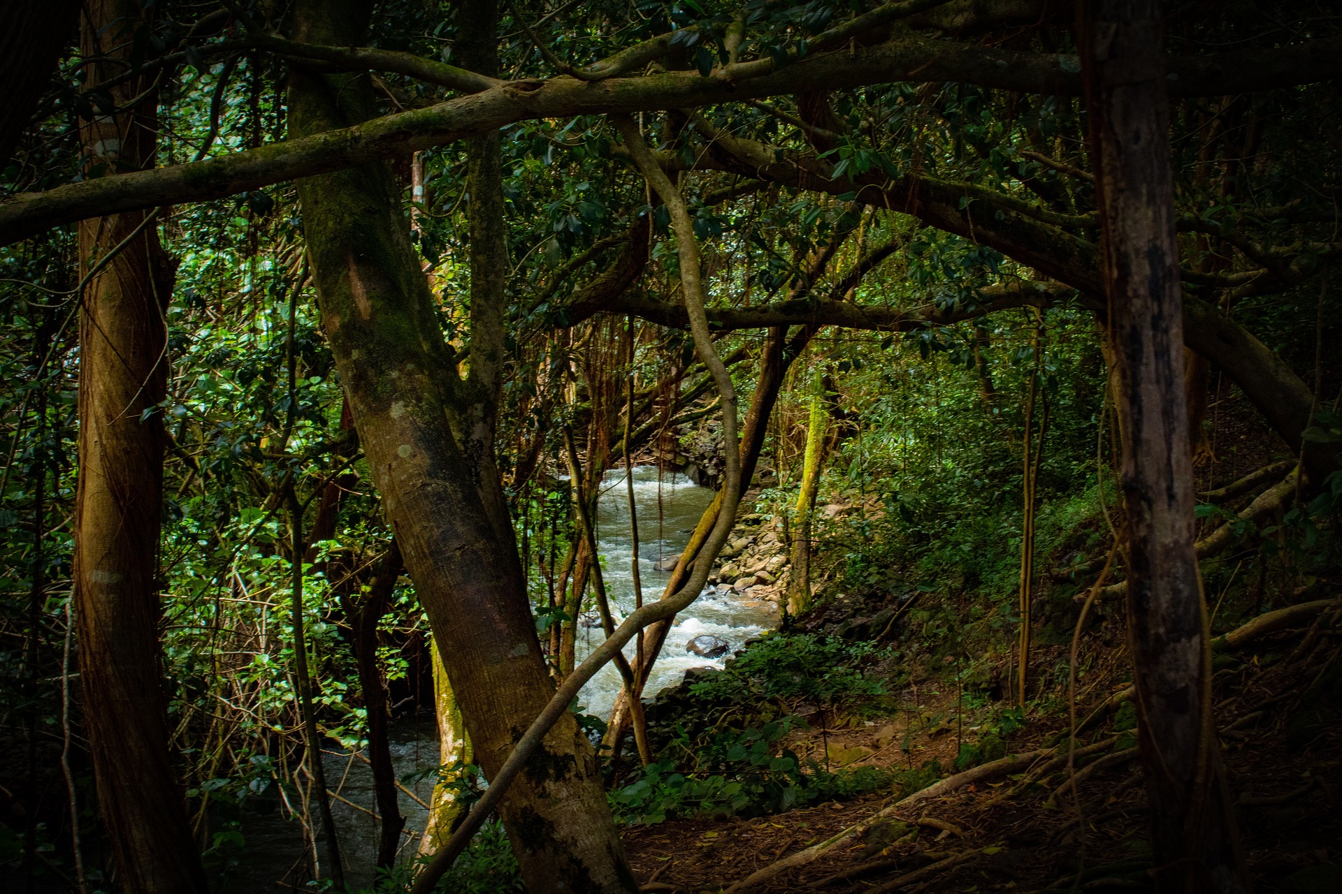
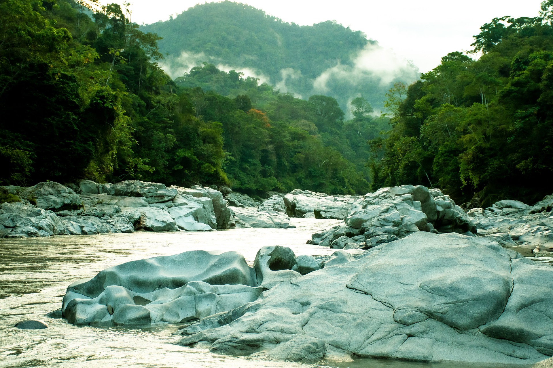
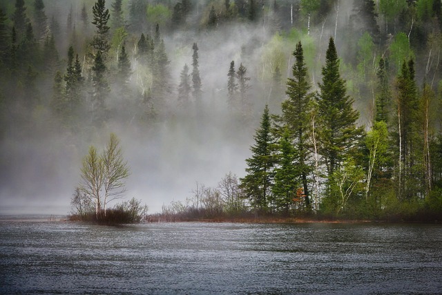
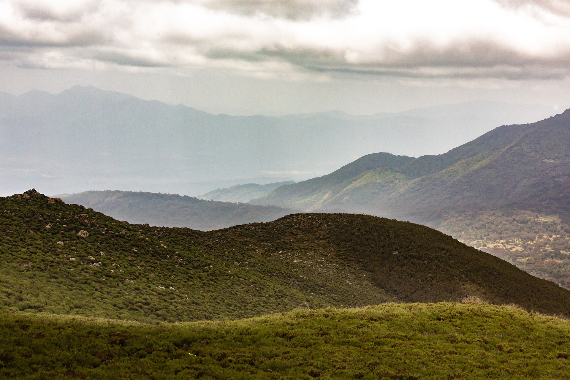
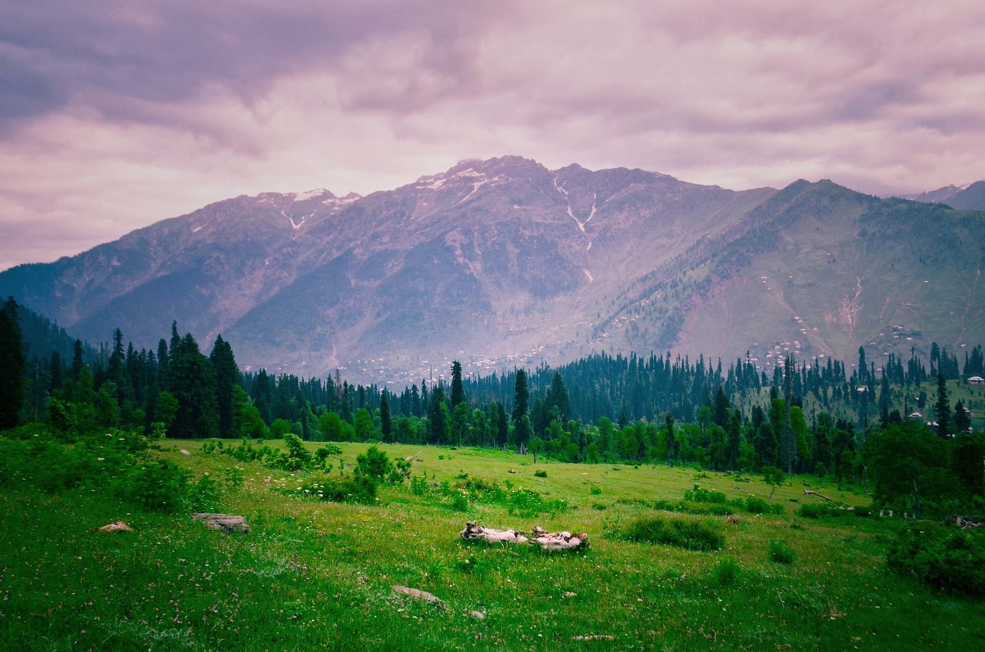
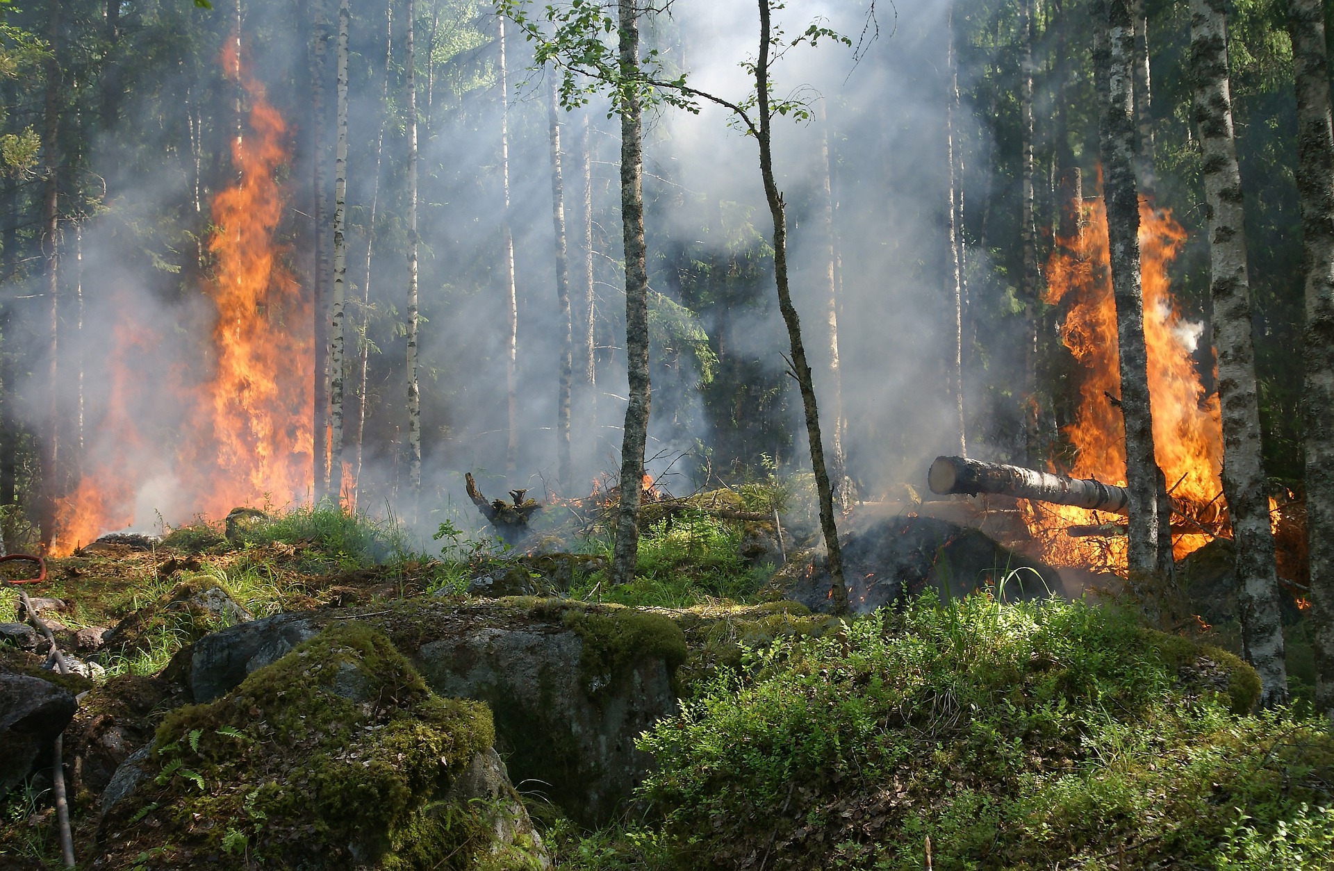
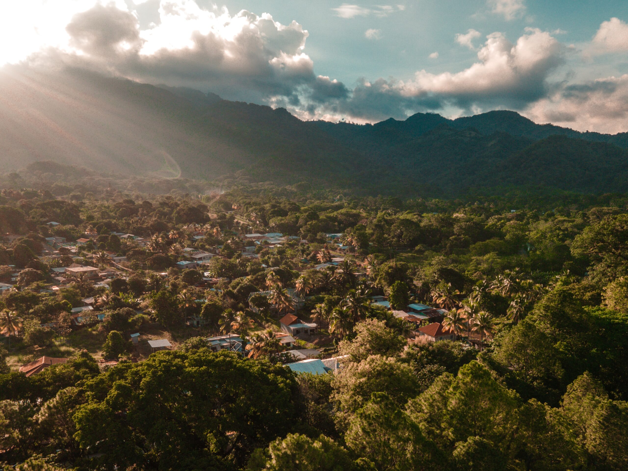
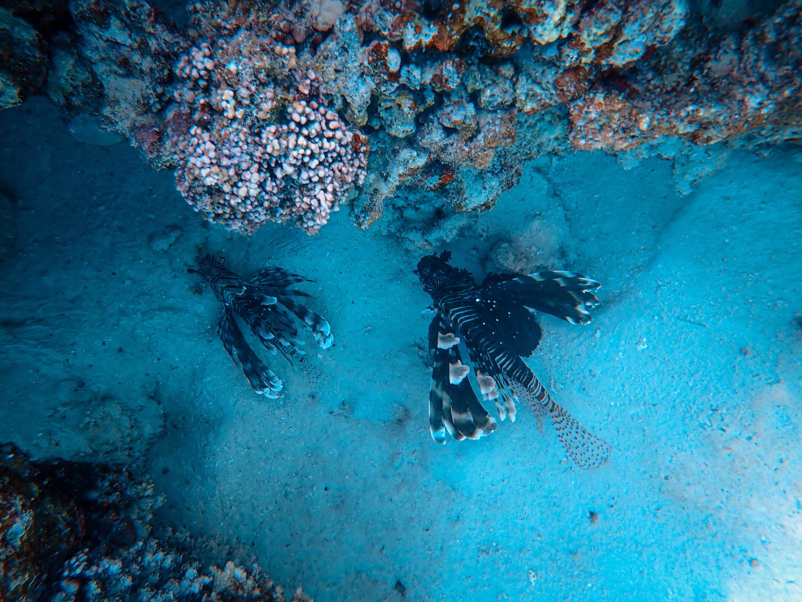
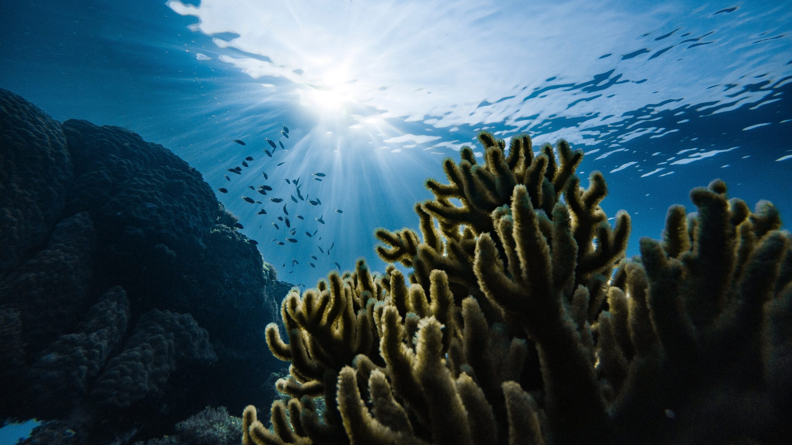
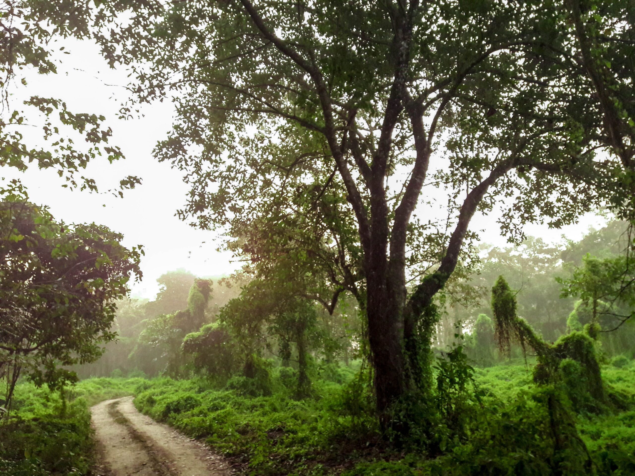
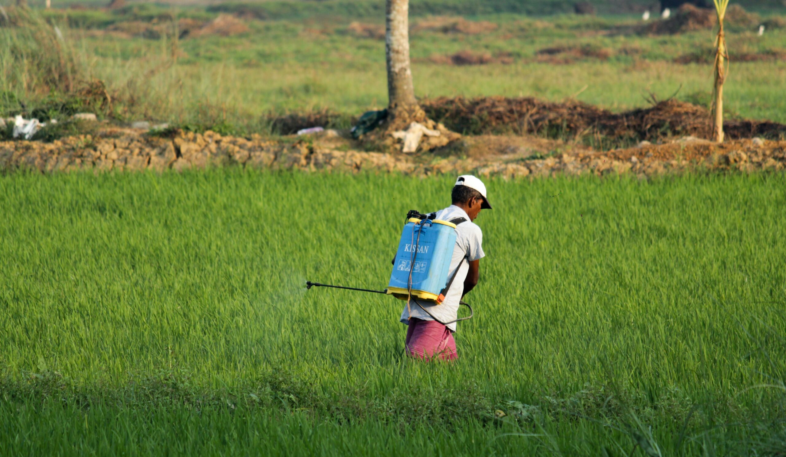
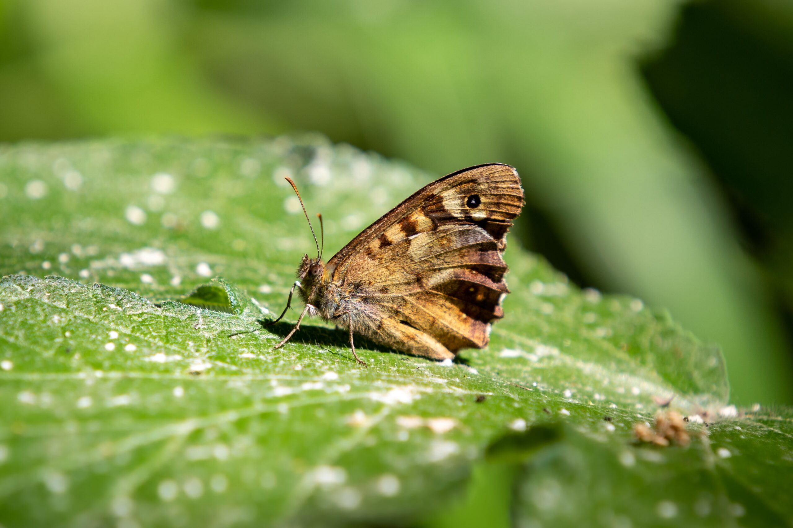
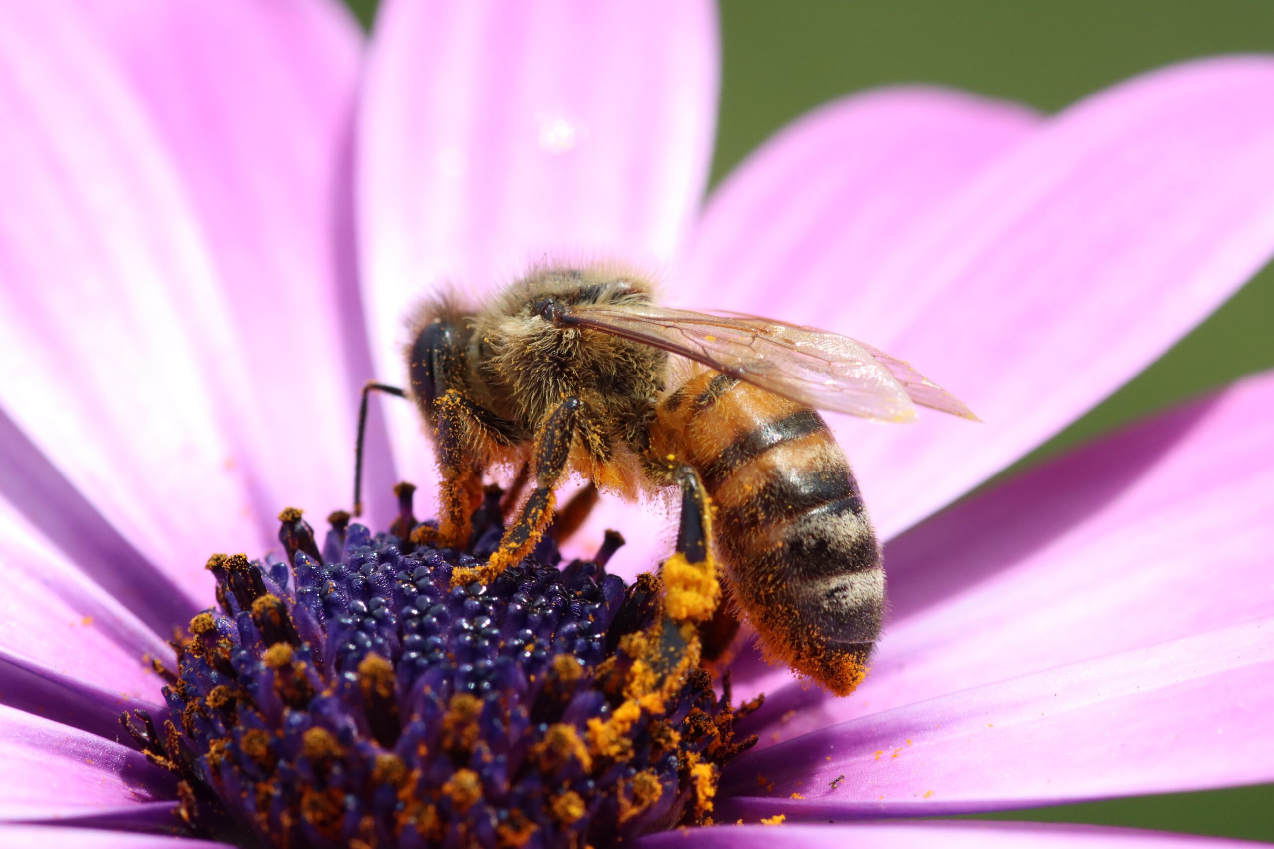
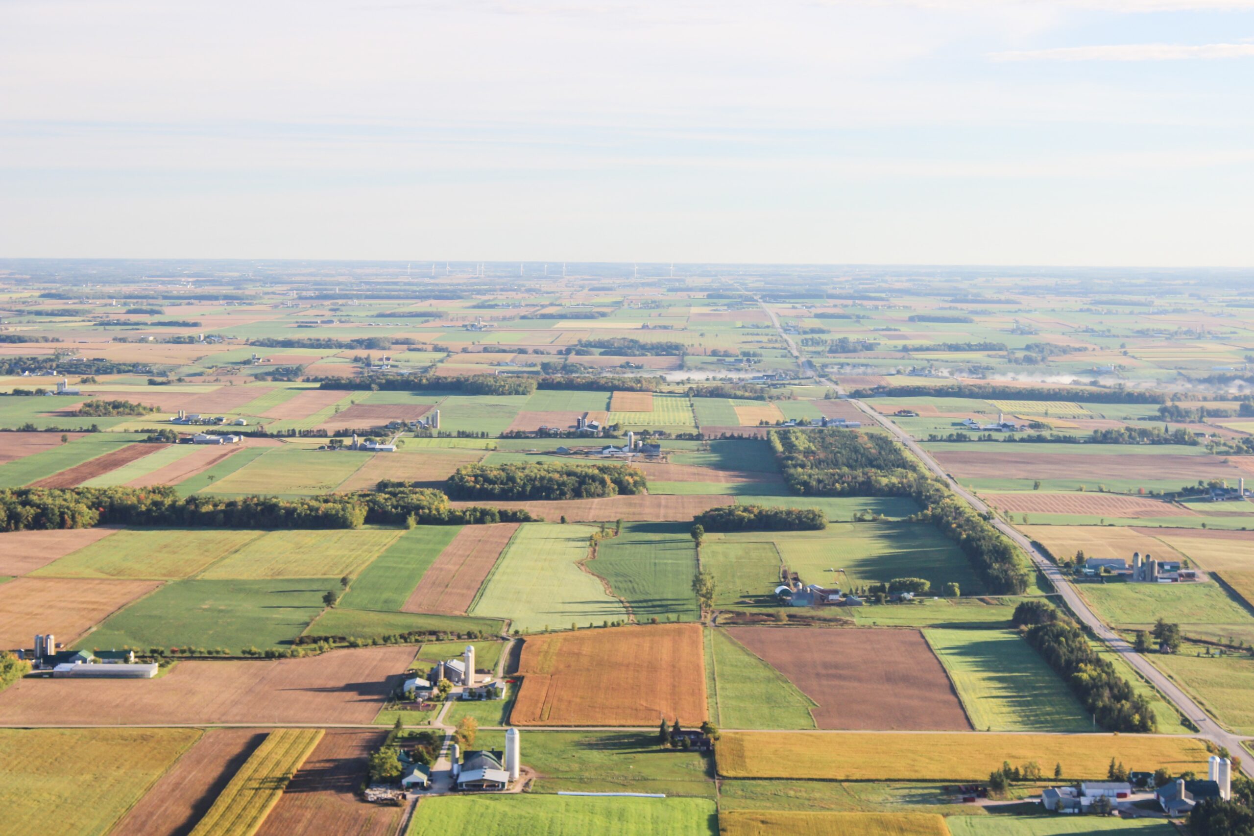
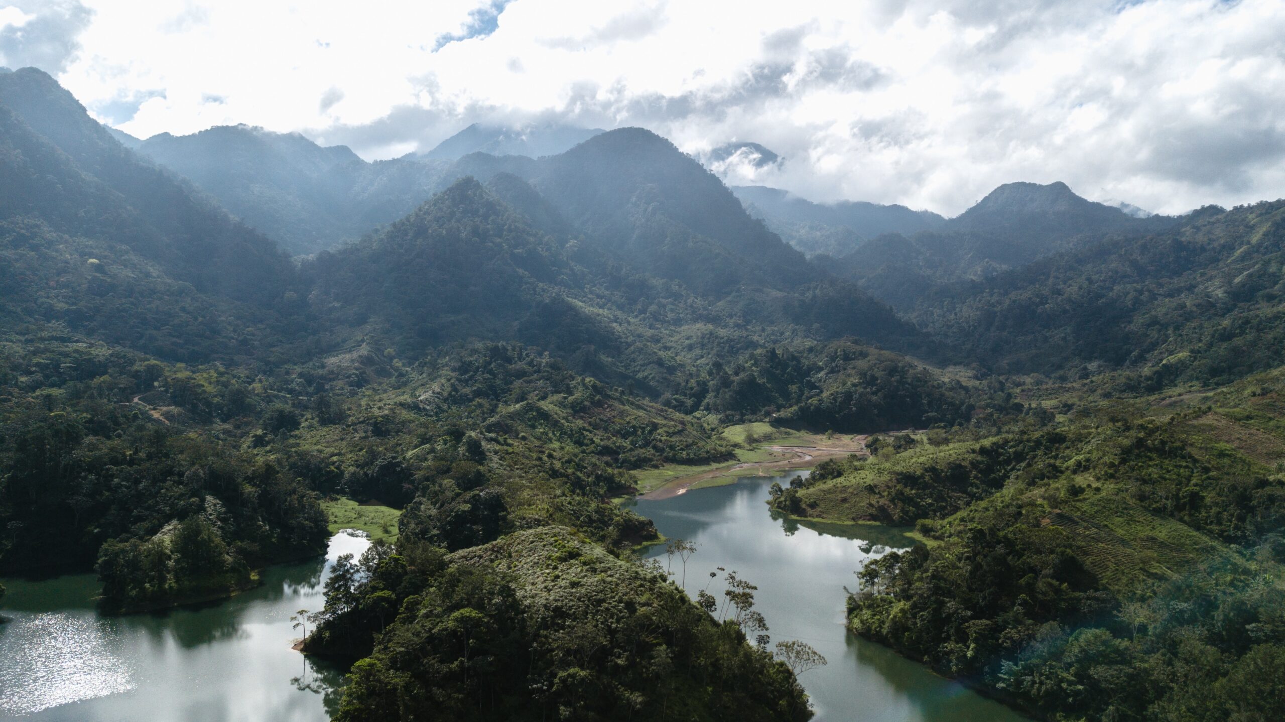
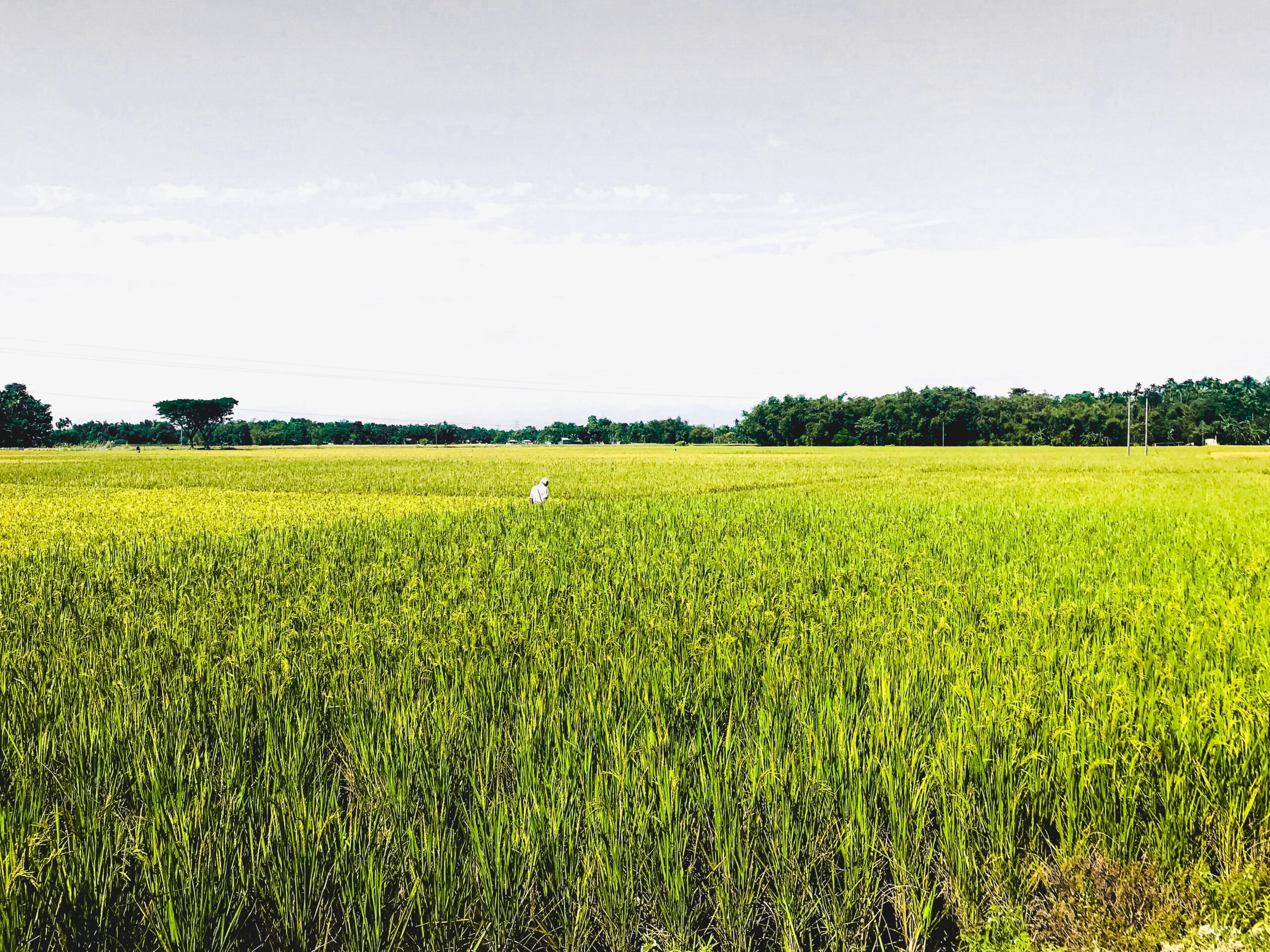
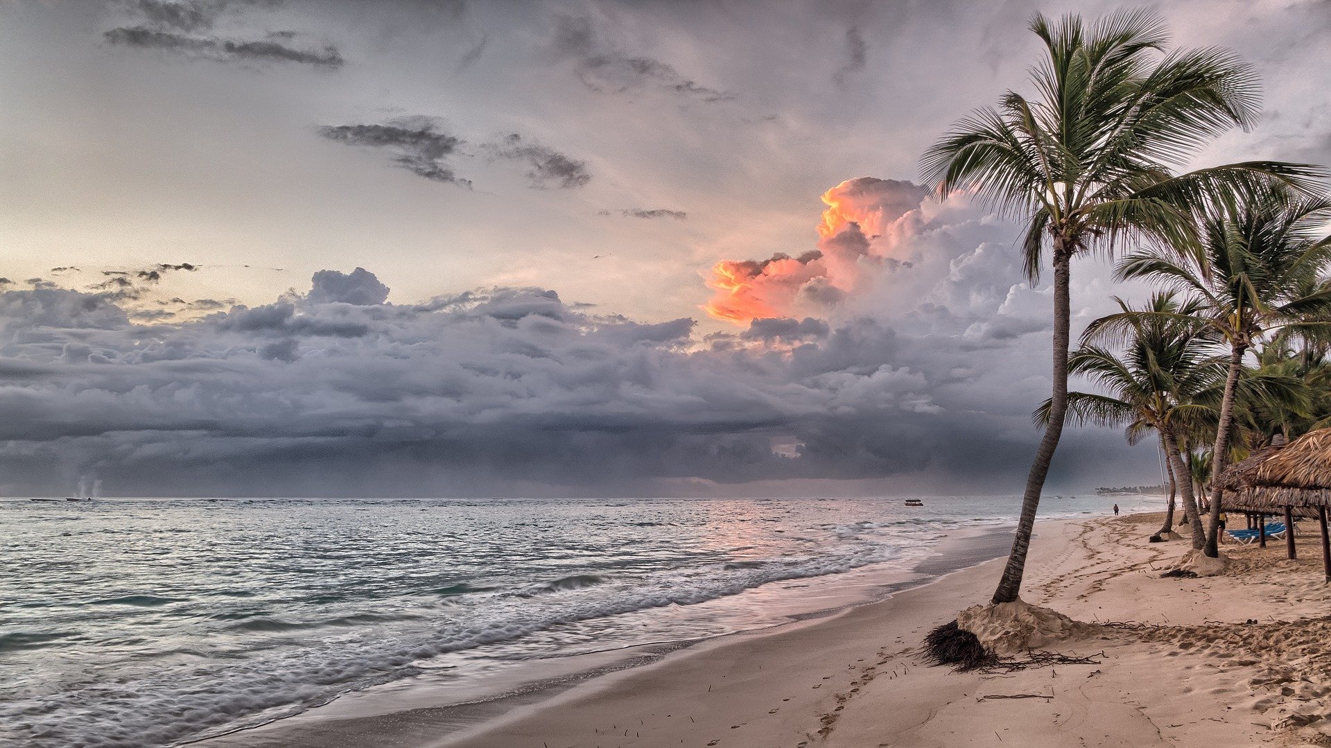
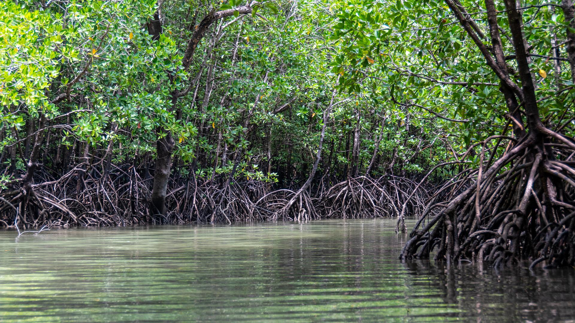
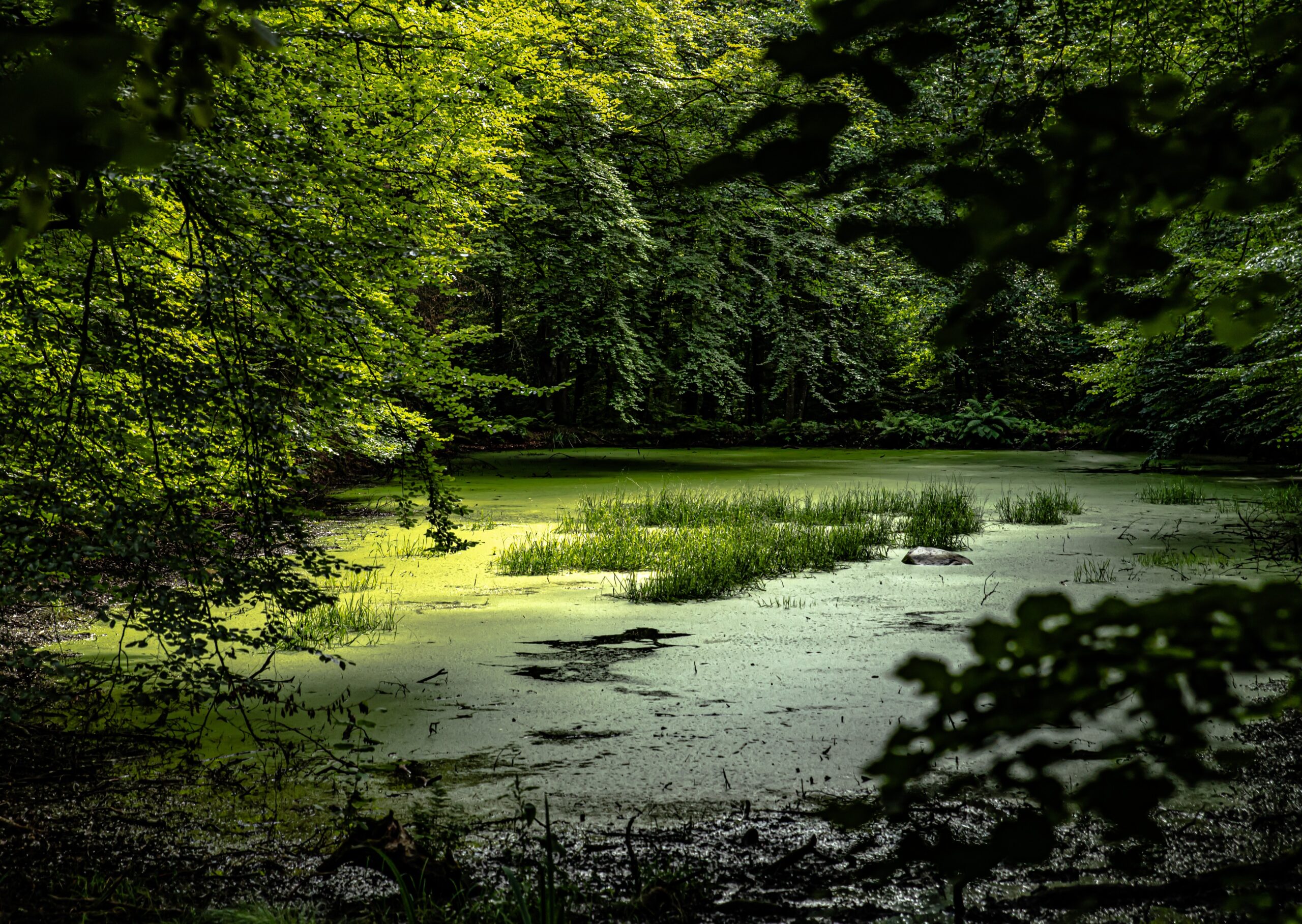
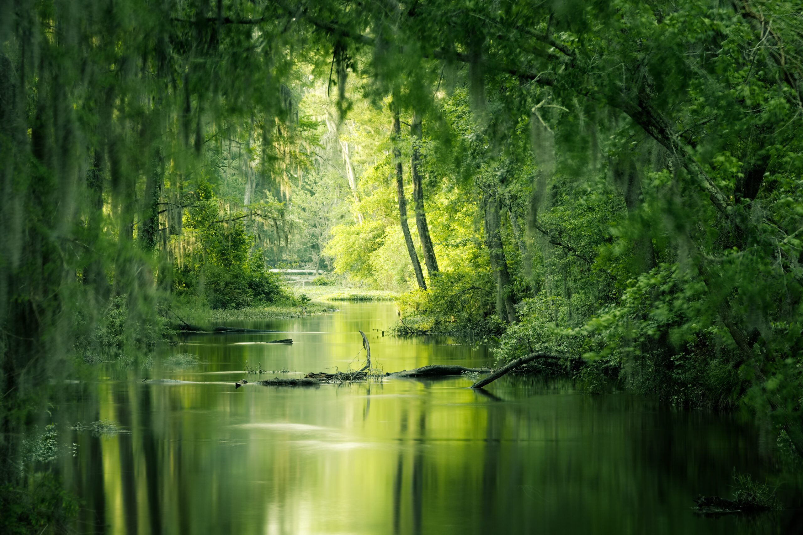
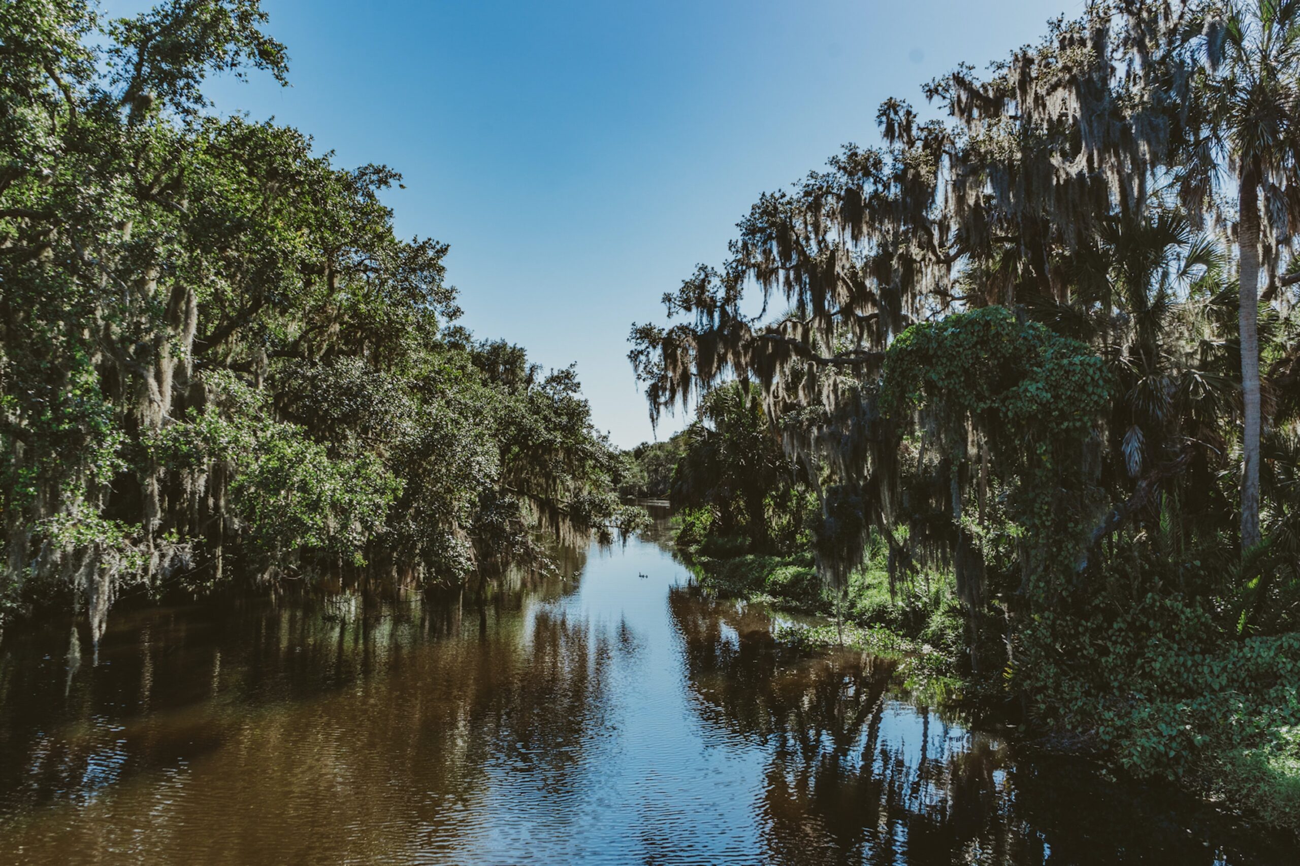
The Conservation of the Biodiversity in accordance with the Program of Environment of United Nations (UNEP) cannot be limited to a matter of geographical borders, in many cases it must be studied like regional interpretation or global initiative. In this context, the environmental models and the information obtained with the use of the skills of remote sensors and application of geographical information systems to evaluate the Biodiversity Conservation represent important instruments, in order to take to good term the proposals like studies, projects, plans of regional management. In Mexico applications of these technologies exist already, in particular this work refers the efforts to apply them in the coastal zone of Tabasco State, Mexico, which it is extensive, also characterized by a great Biodiversity like: wealth lands, tropical vegetation and animals species located in the coastal lagoons, estuaries ecosystems, which has not been well evaluated yet and which study is necessary to realize in order to carry out conservation and protection programs adapted for these ecosystems. This work shows the Tabasco government and its inhabitants relative to know the possibly effects that the Tabasco coastal zone is suffering in its Biodiversity composition, due to the actions of the Climate Change, other natural reagents (hurricanes, tropical storms, etc.) and those activities derivates of human causes for which it consider a specially methodology as the use of remote sensors and geographical information systems to obtain Biodiversity models at regional scales.
The biodiversity conservation in the coastal ecosystems of the Tabasco state, Mexico as sustainable response again climate change effects.
Year: 2015