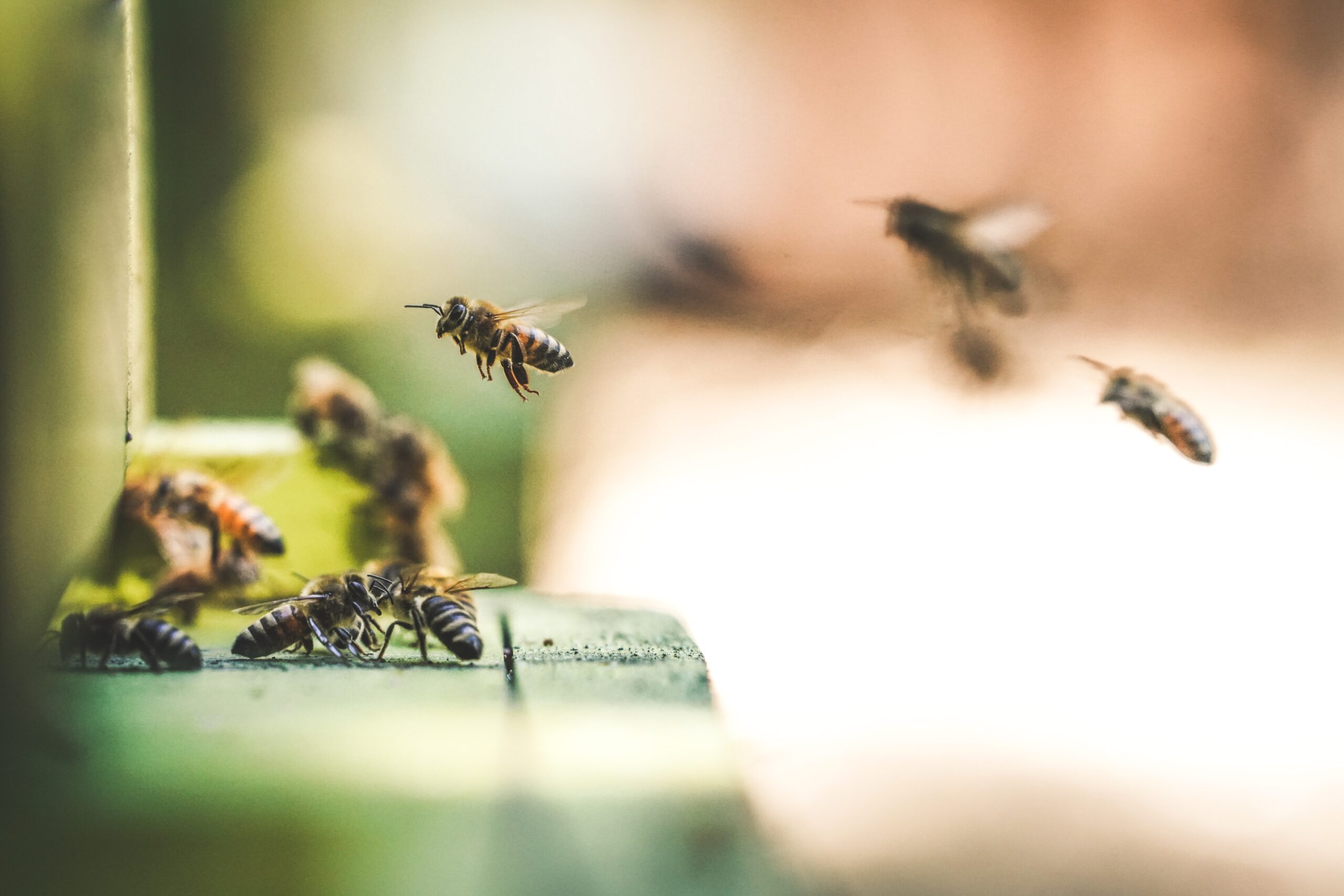
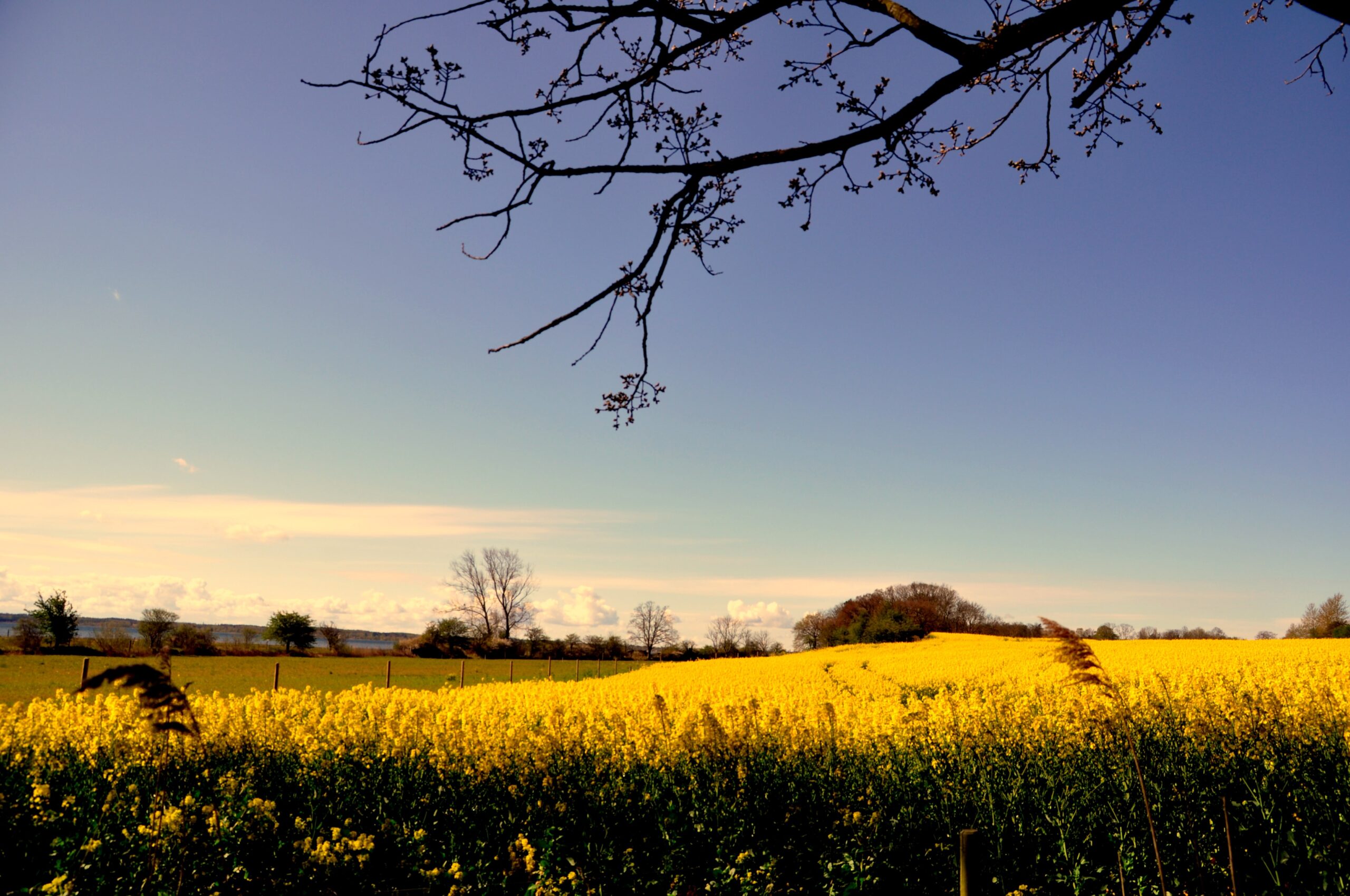
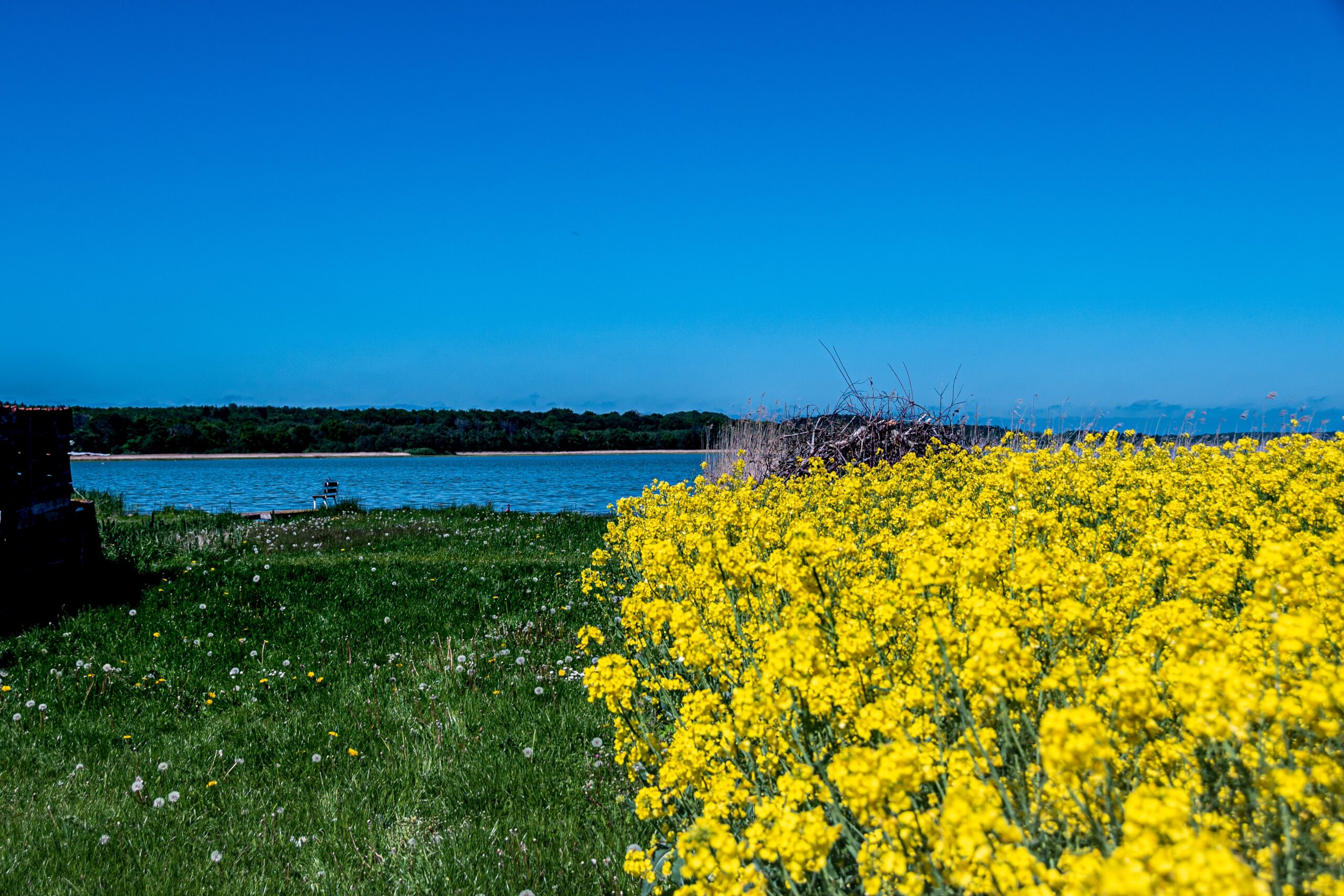
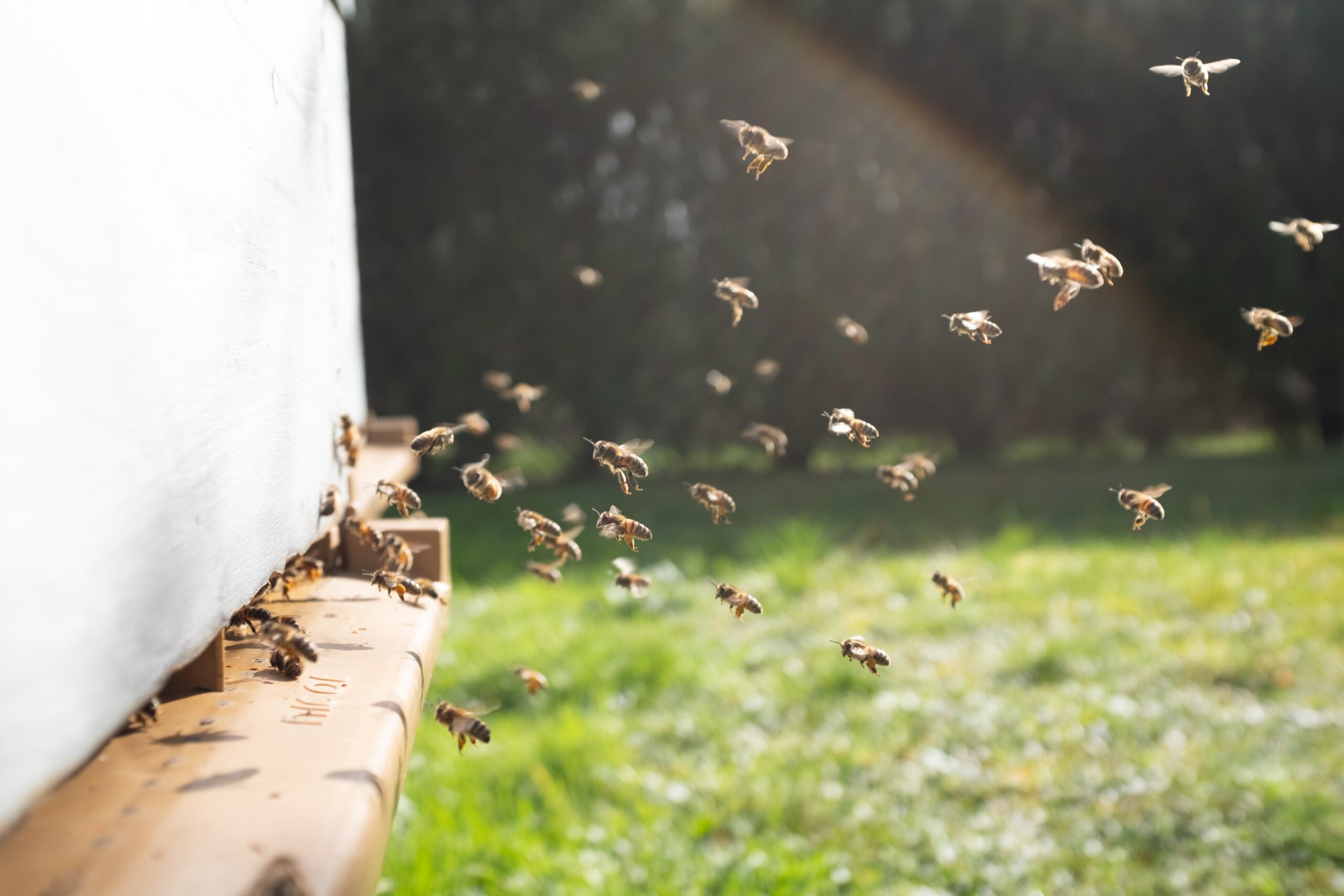
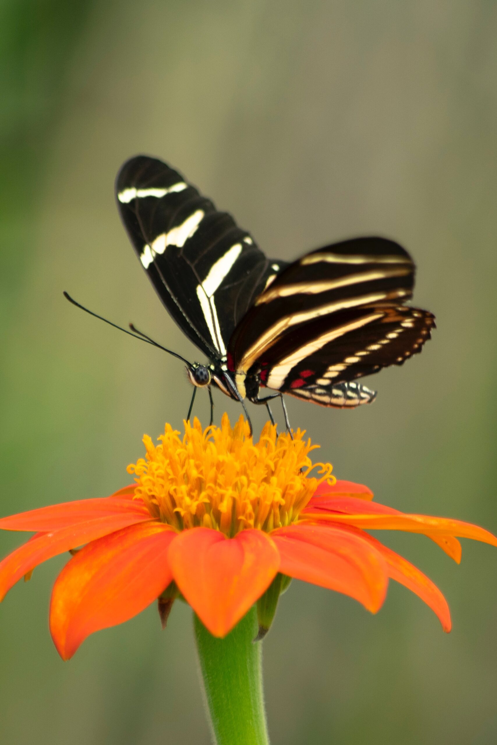
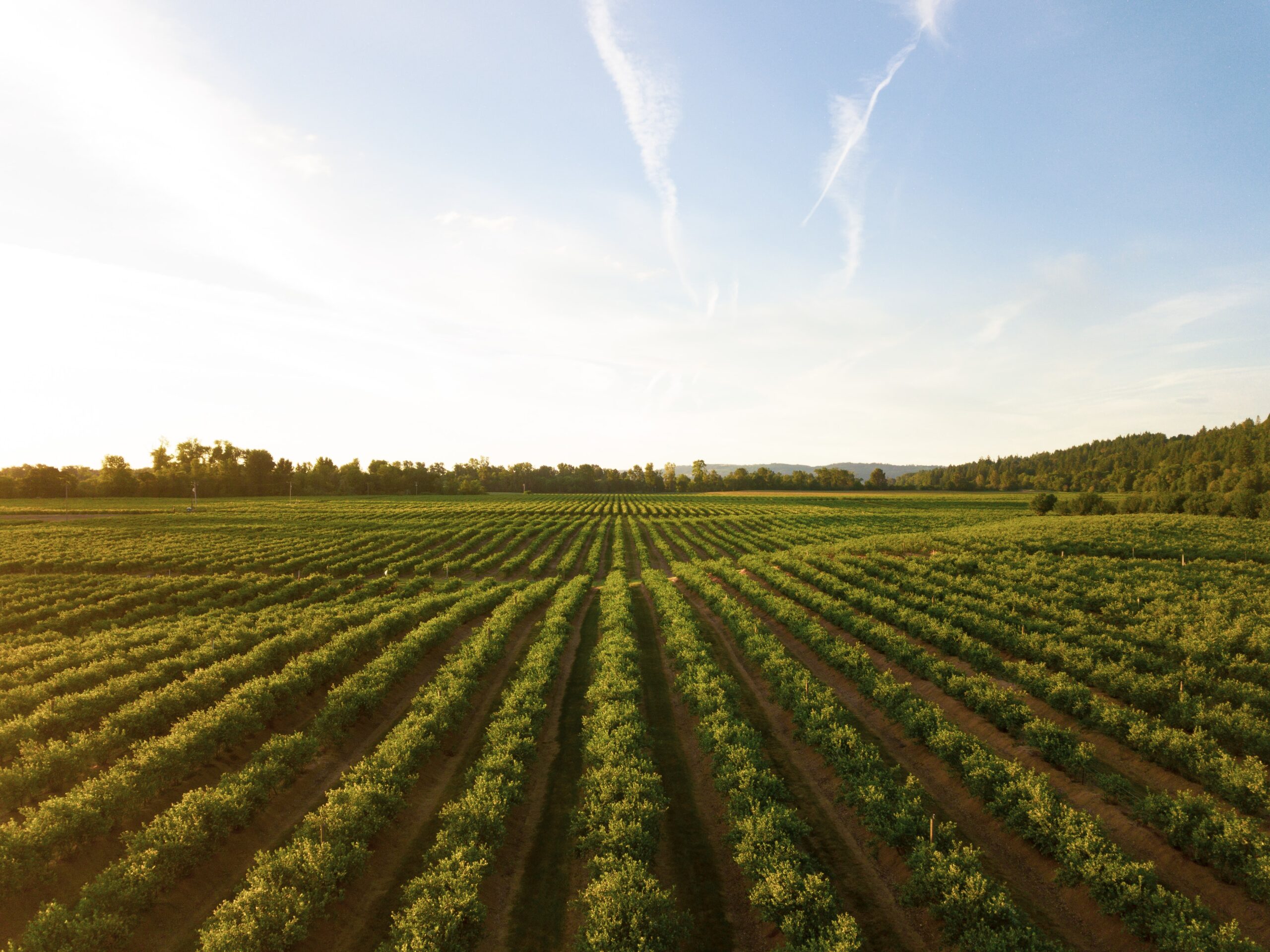
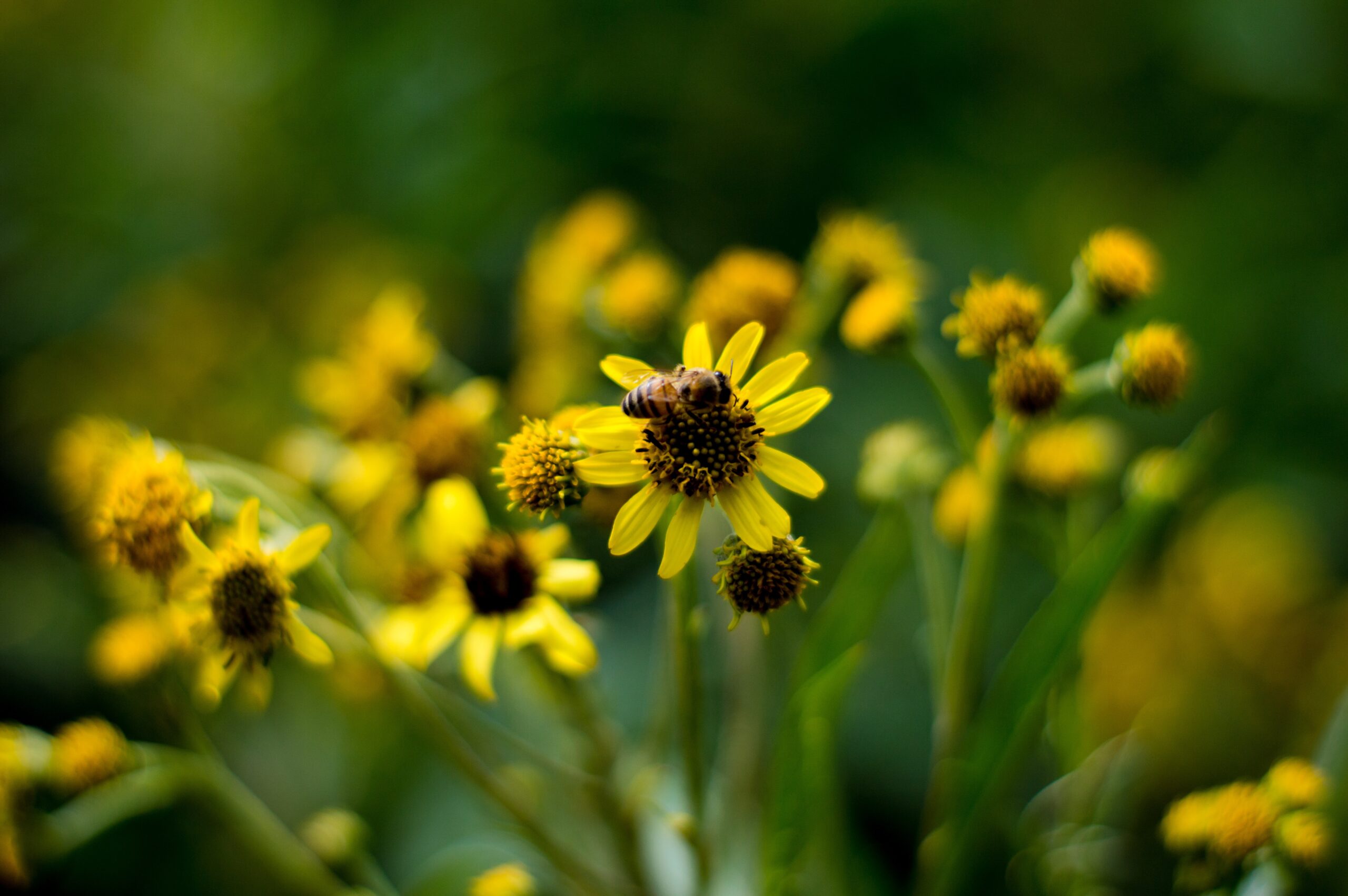
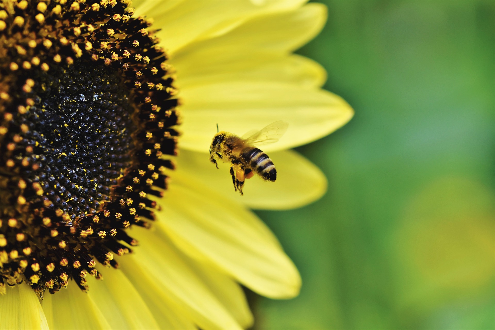
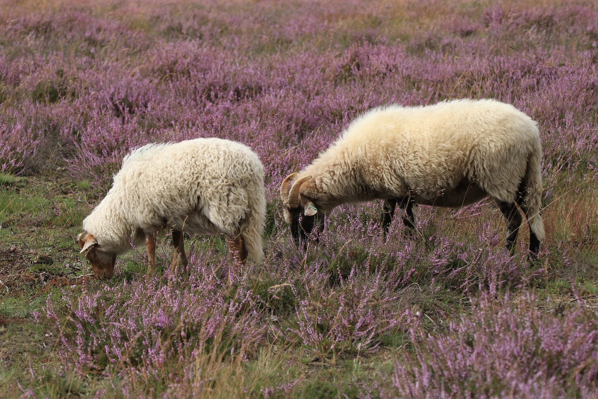
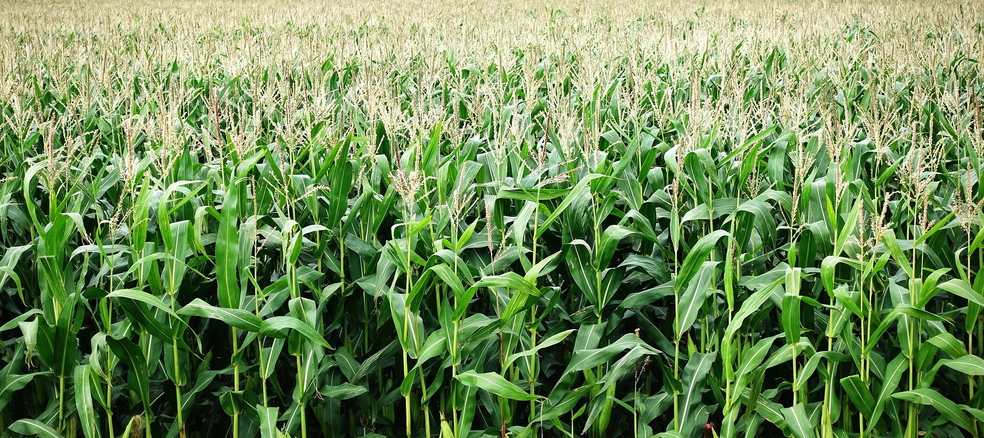
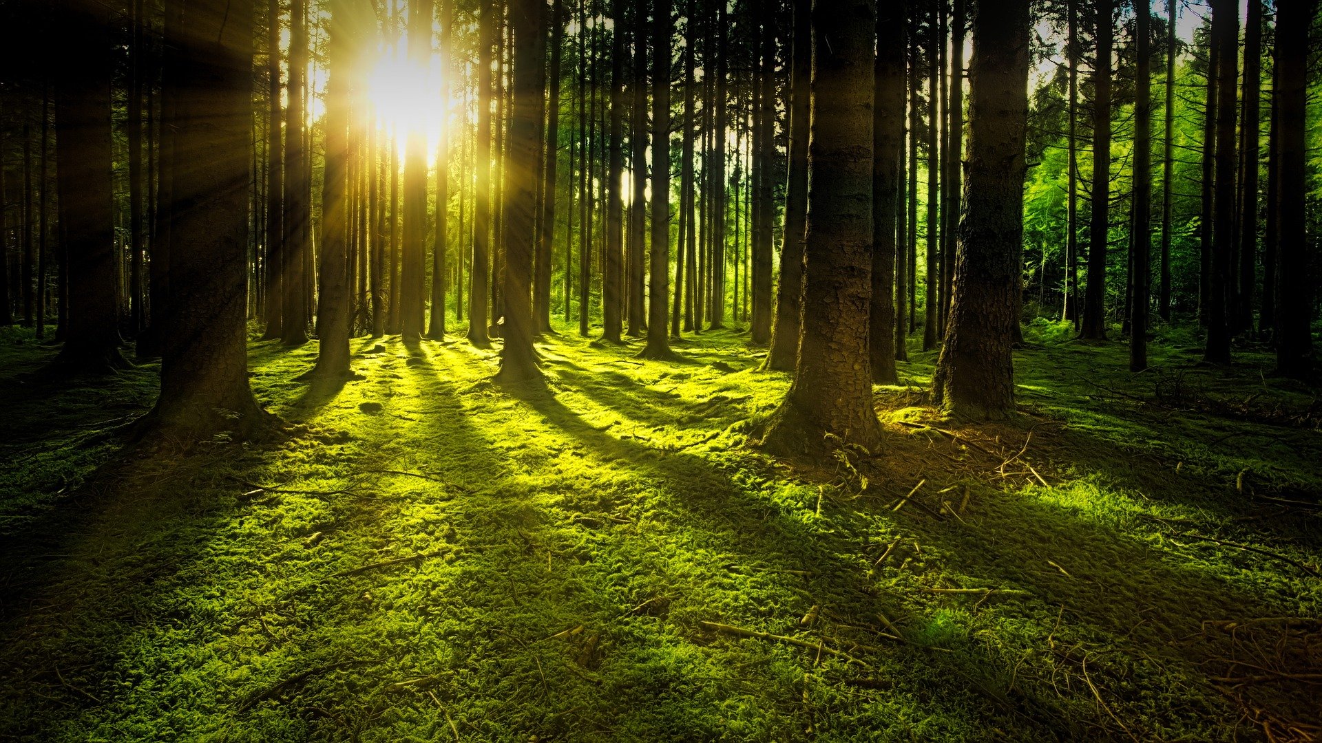
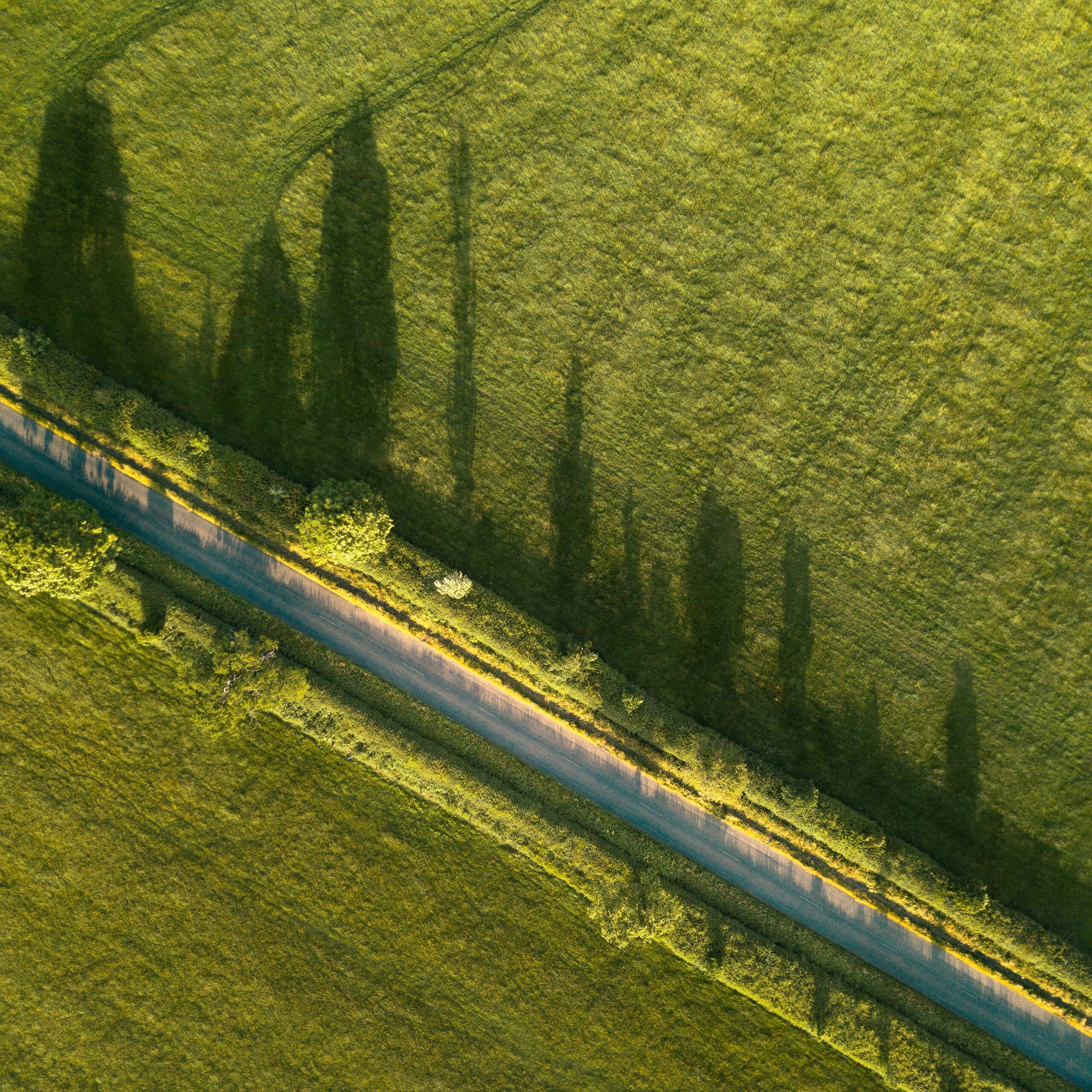
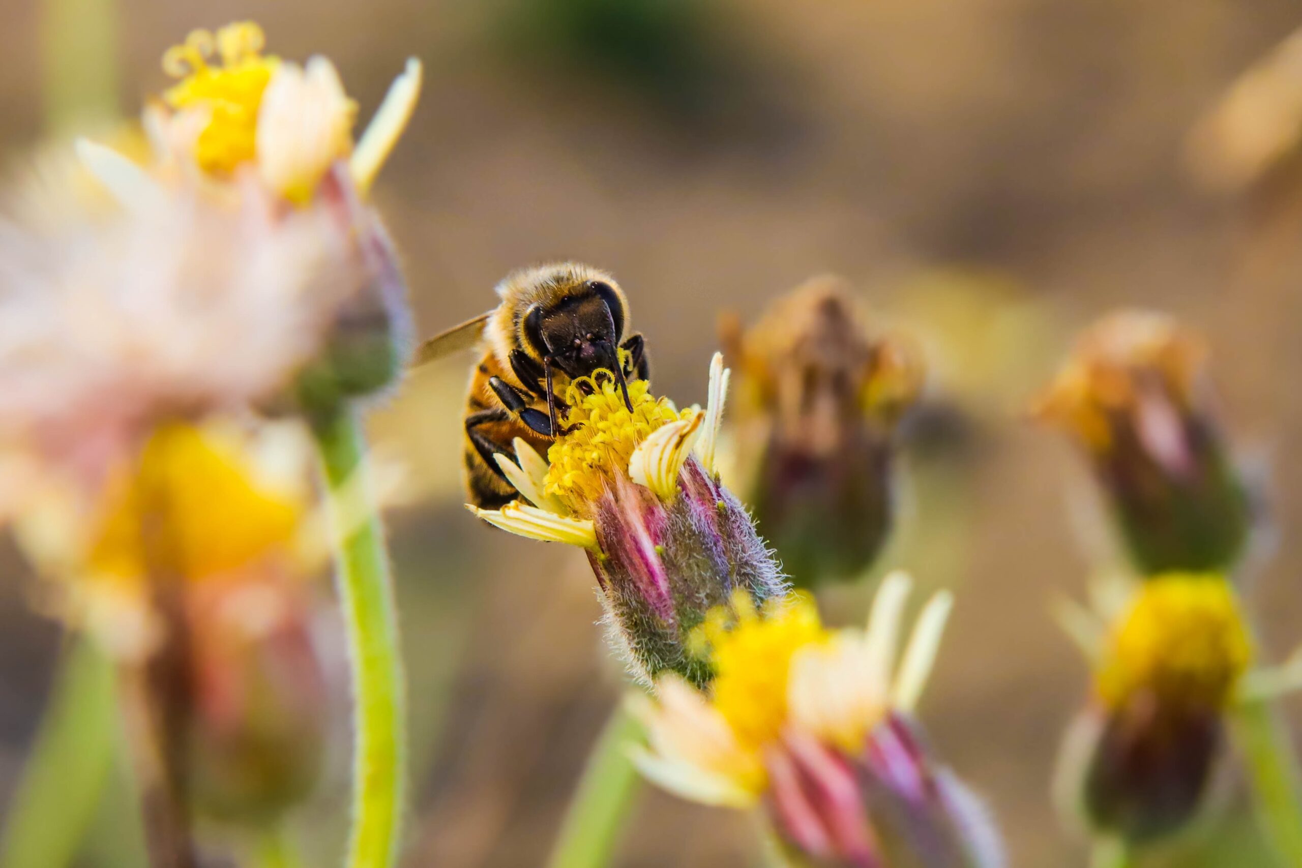
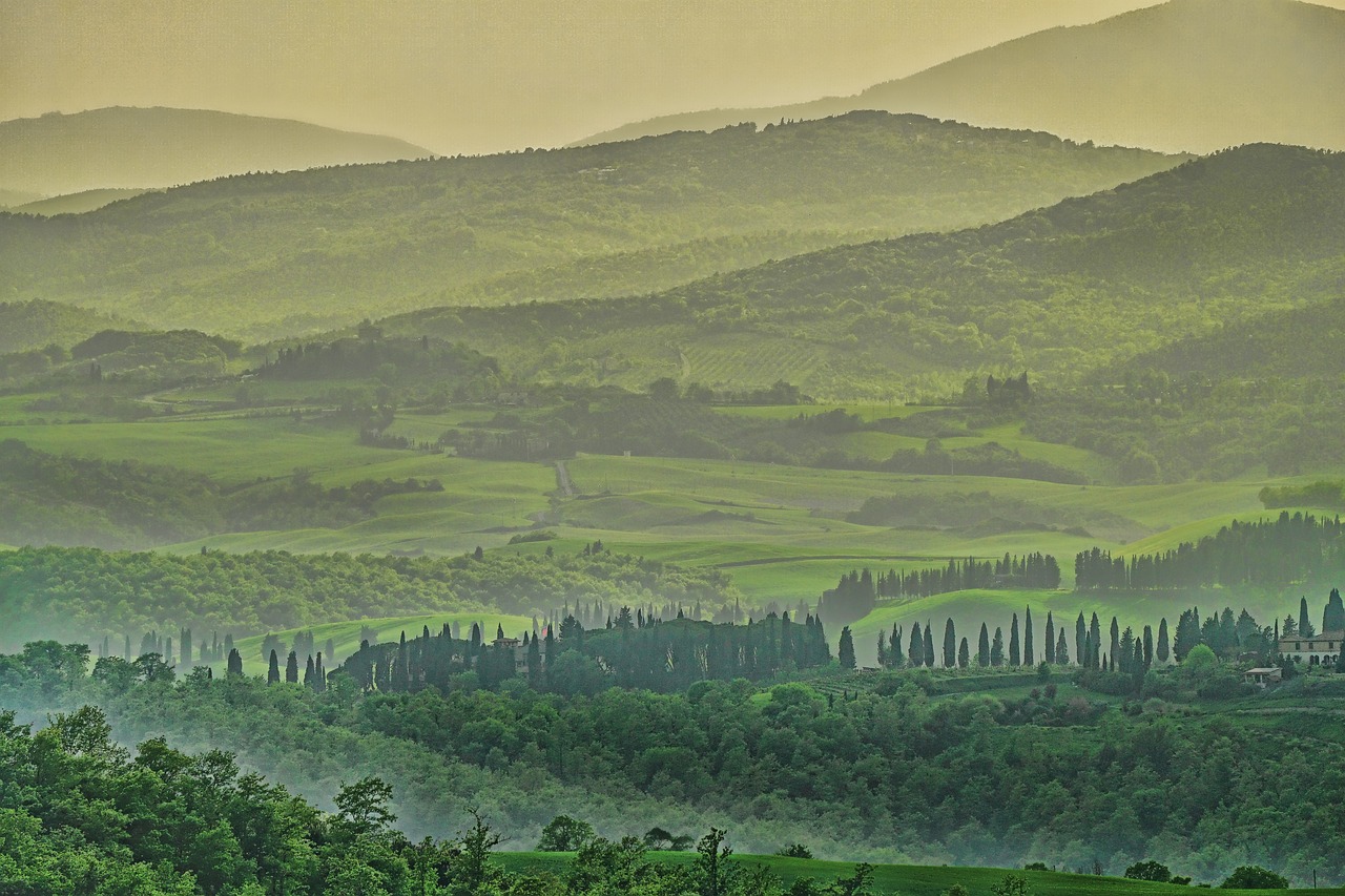
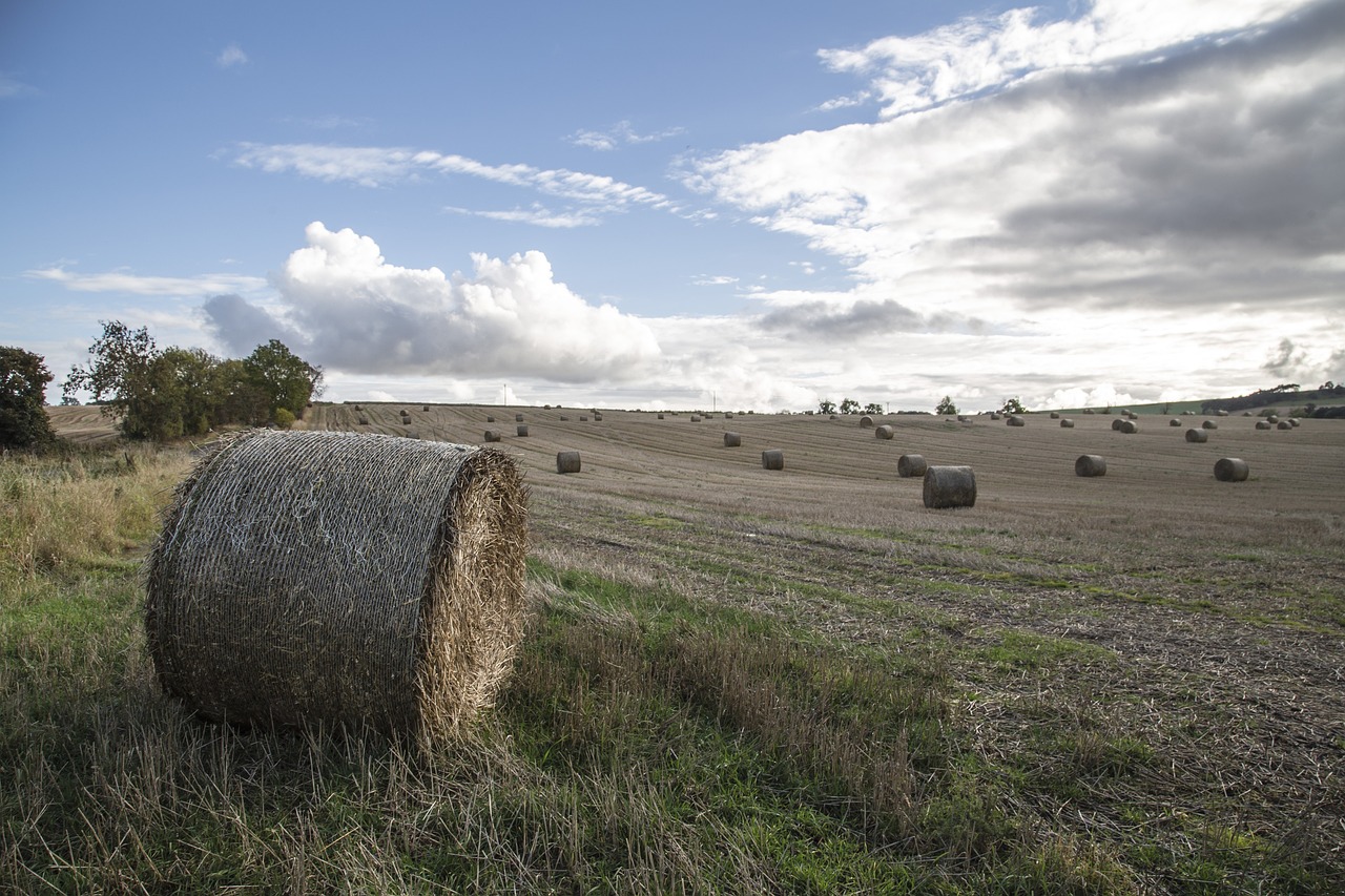
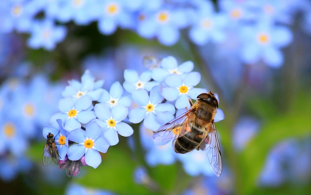
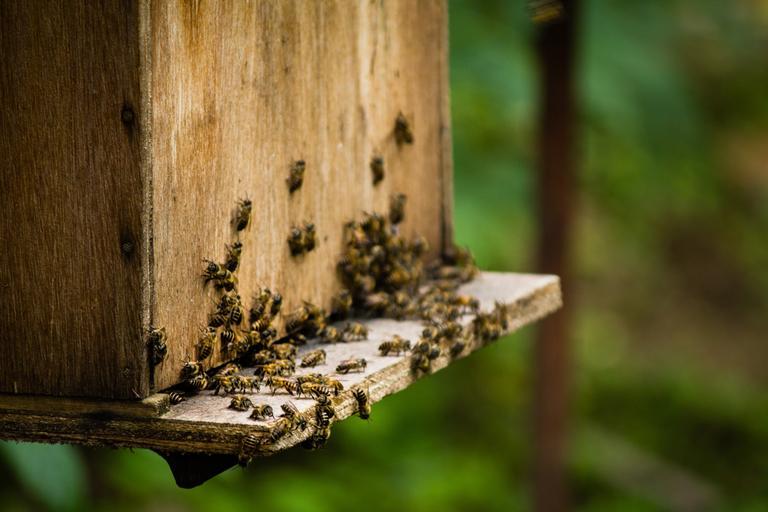
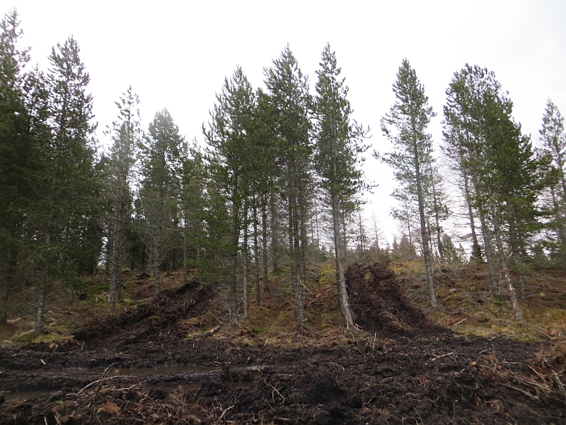
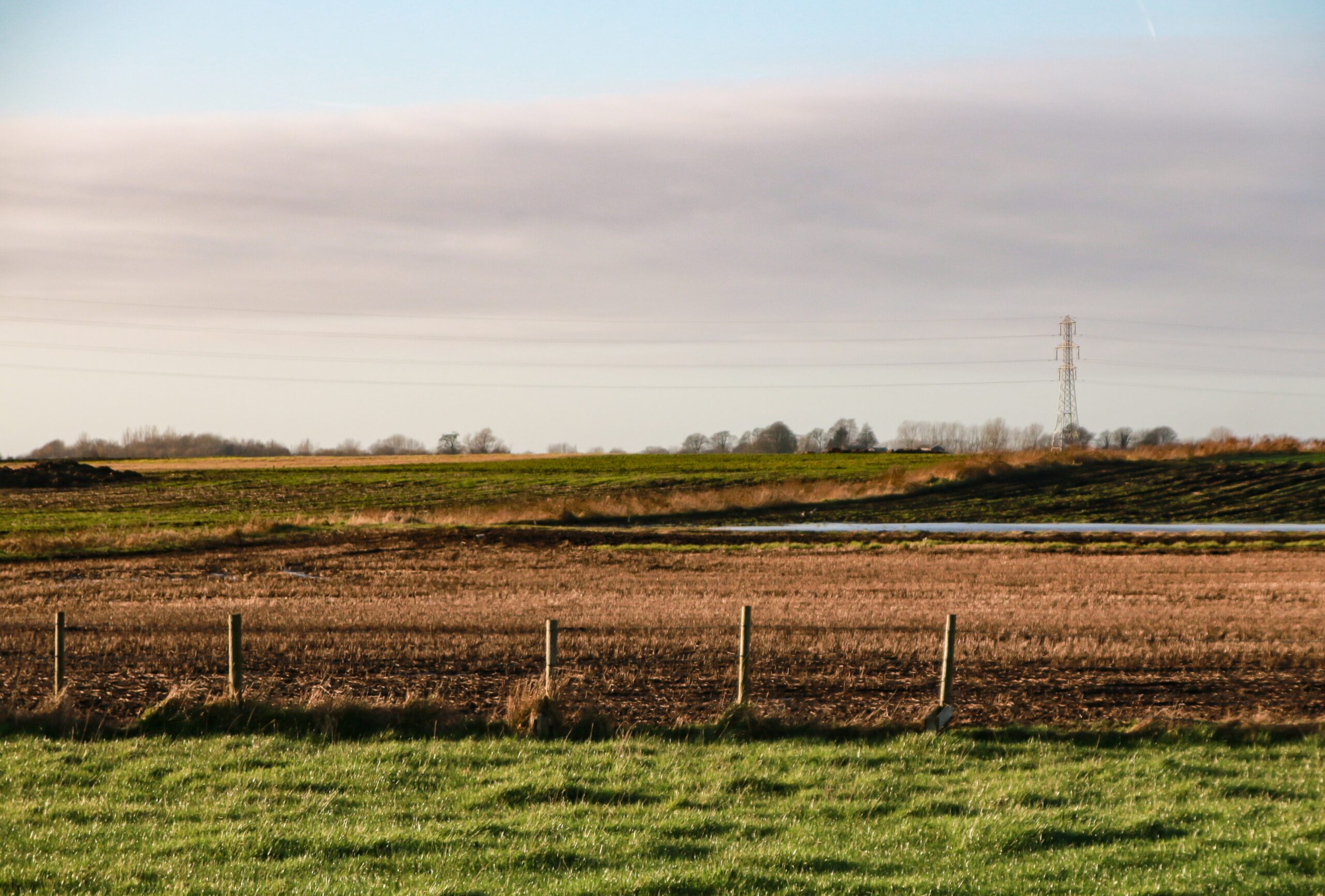
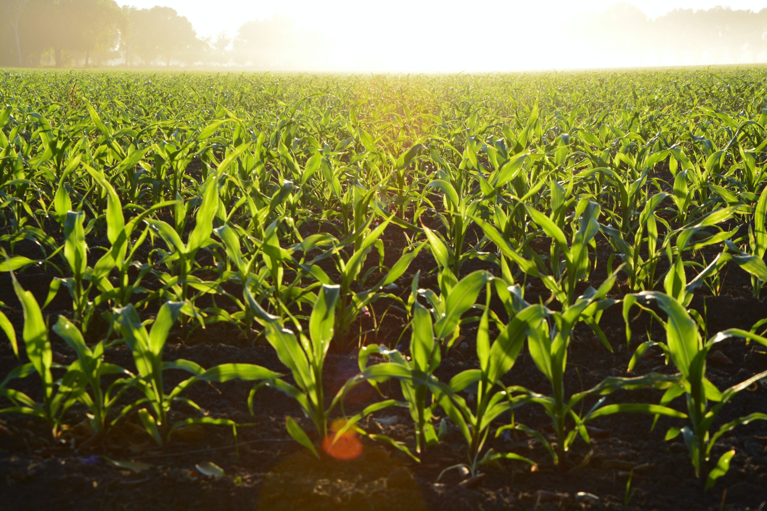
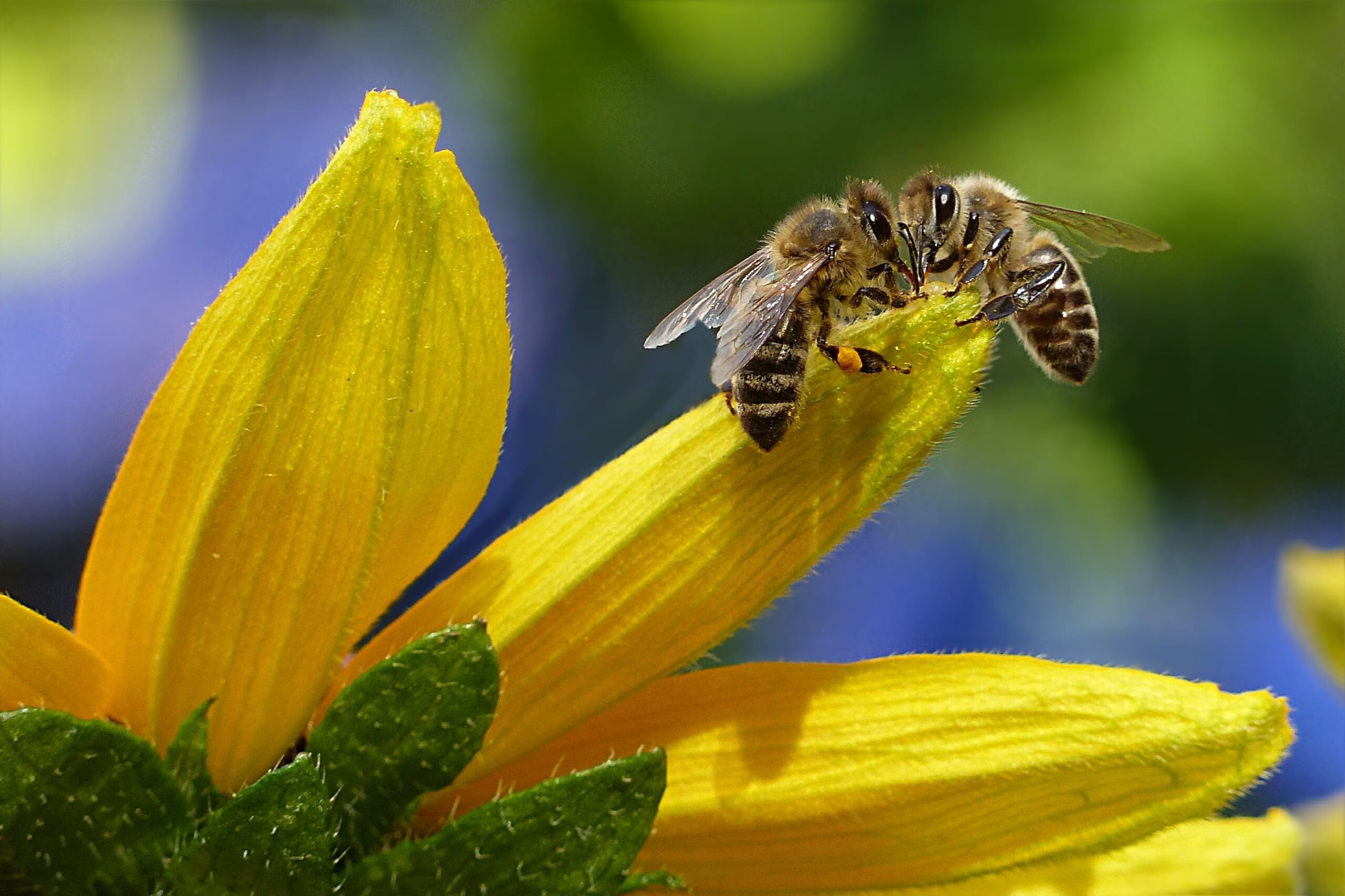
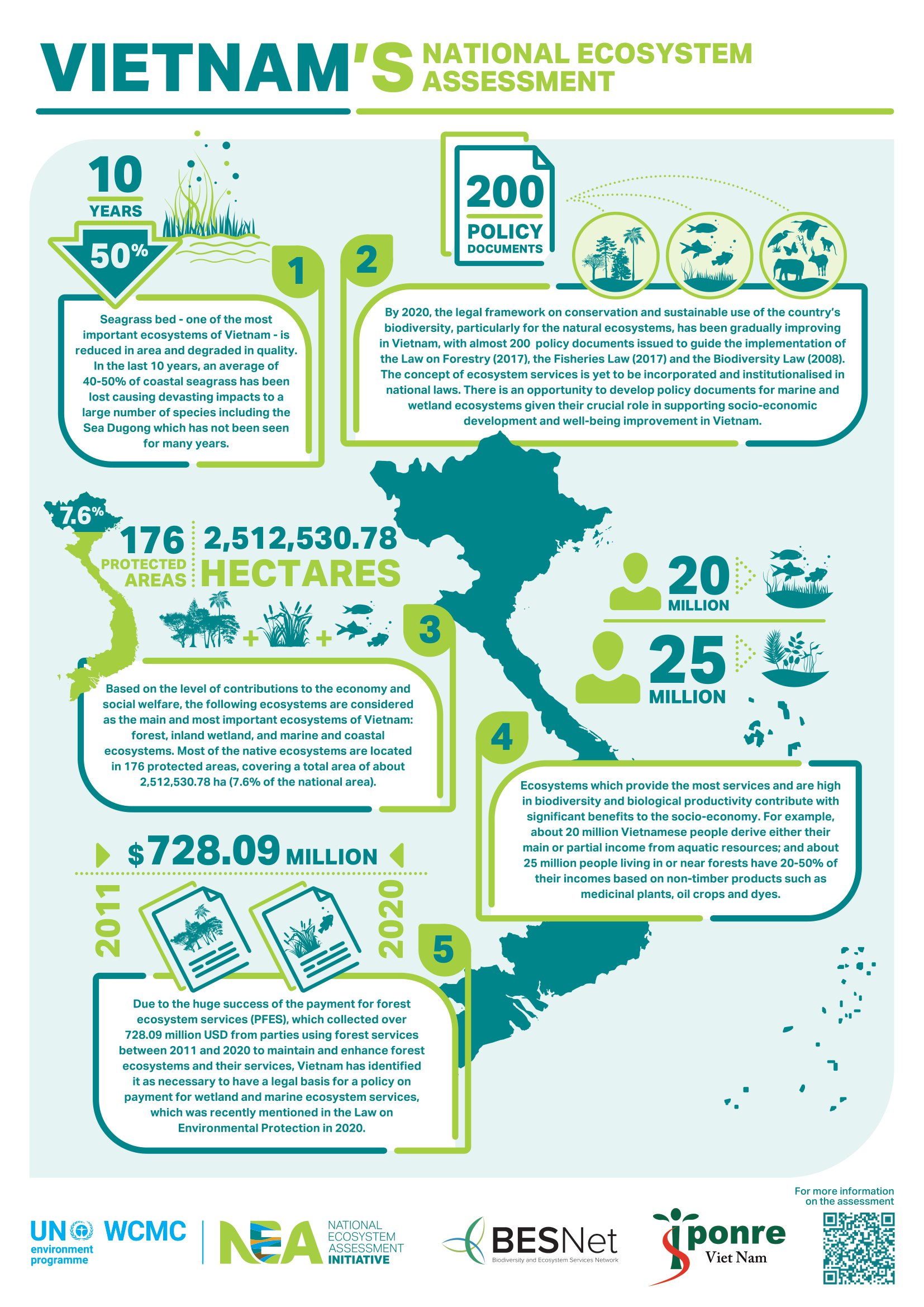
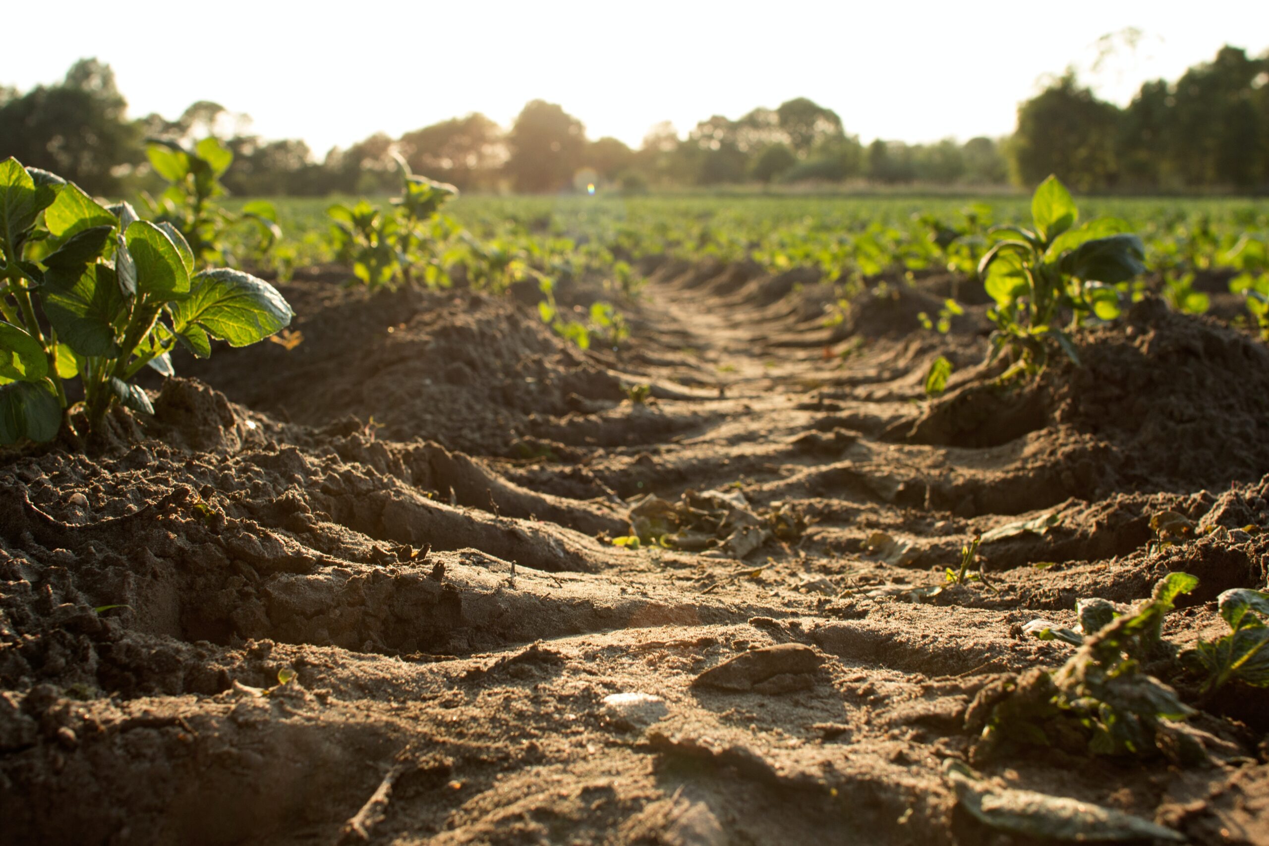
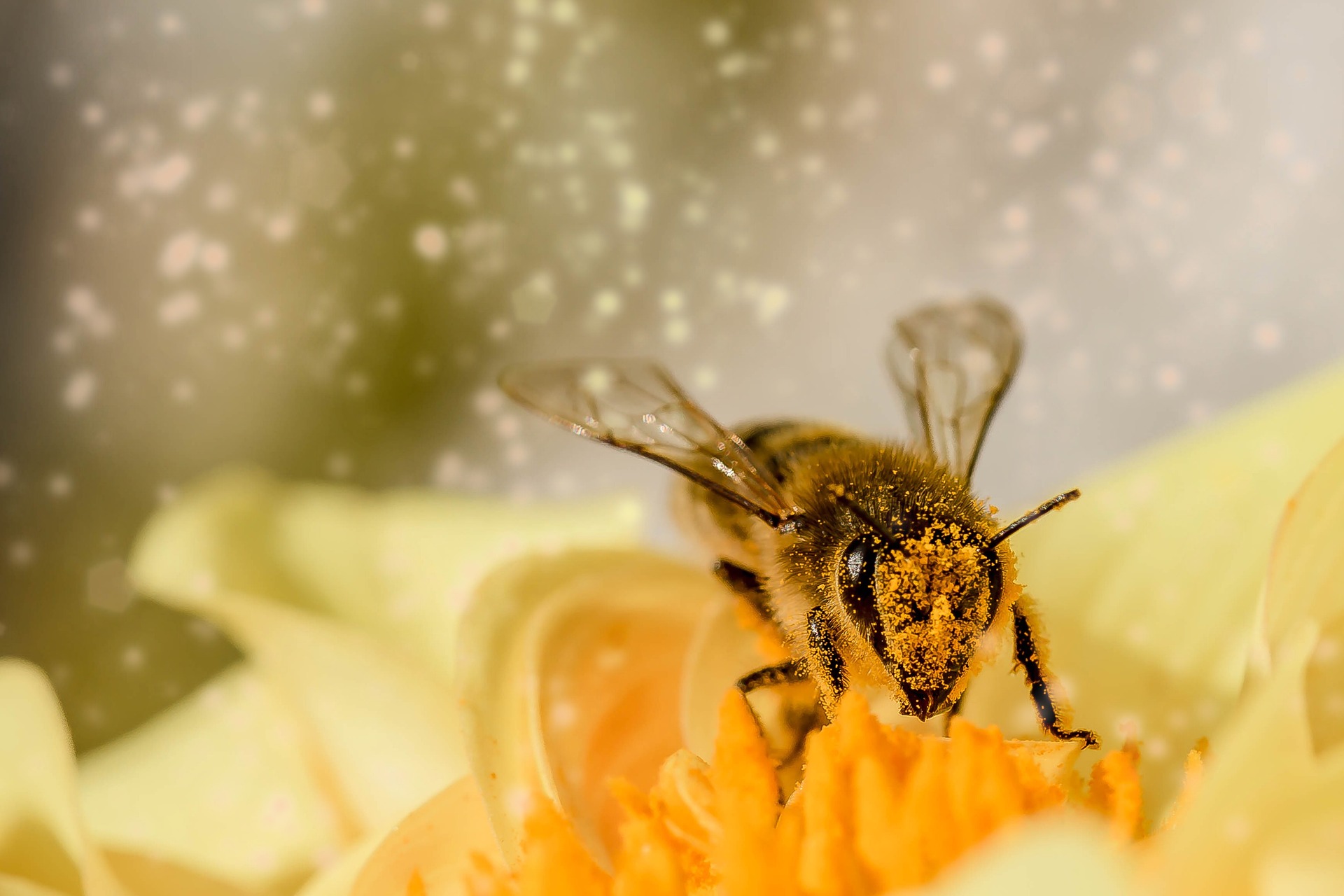
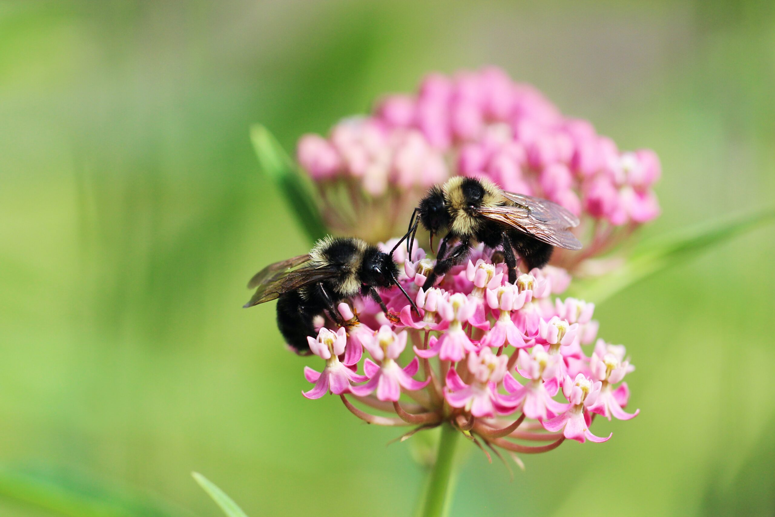
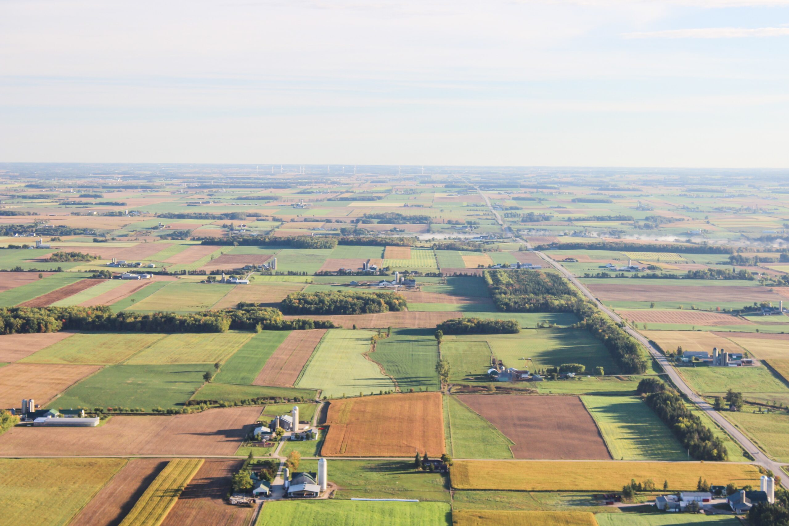
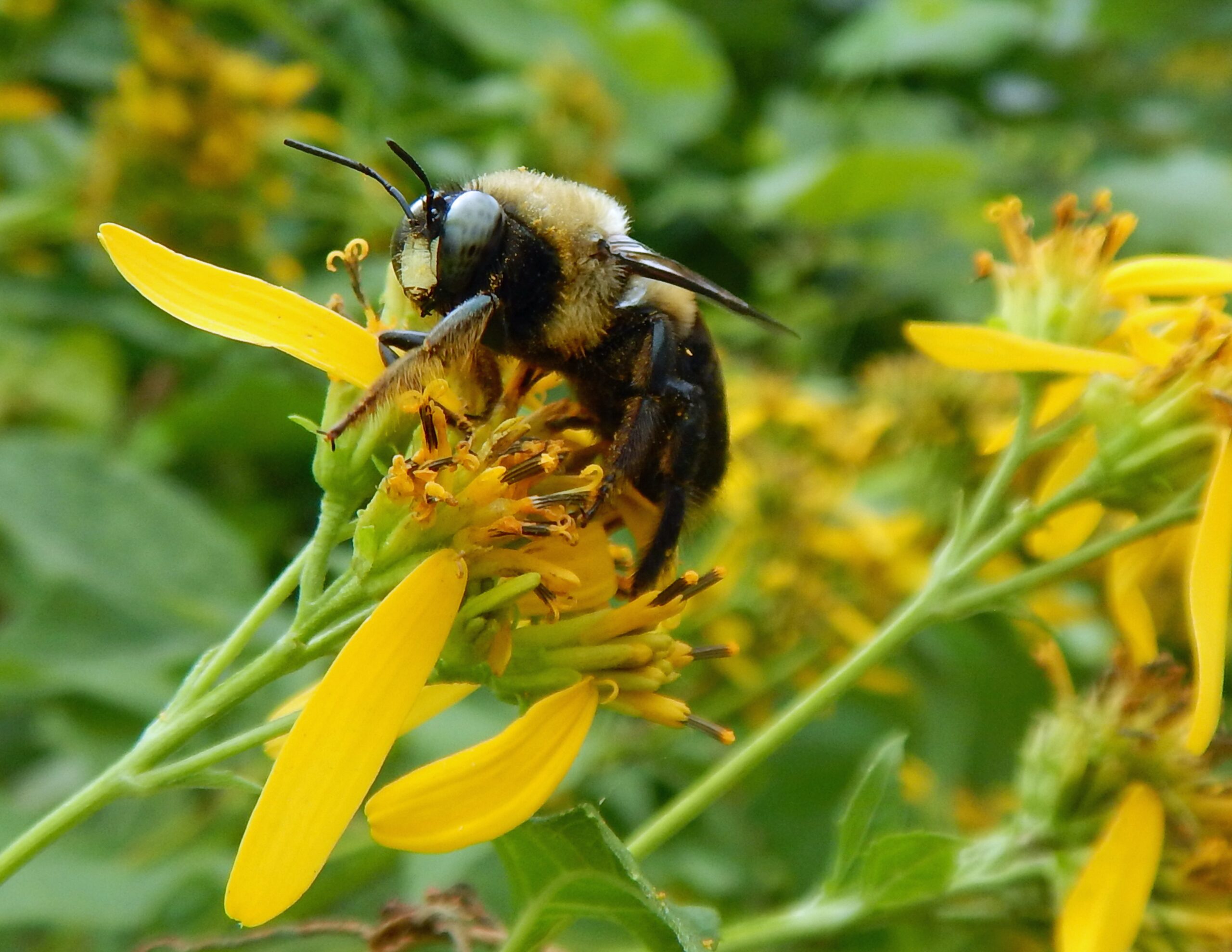
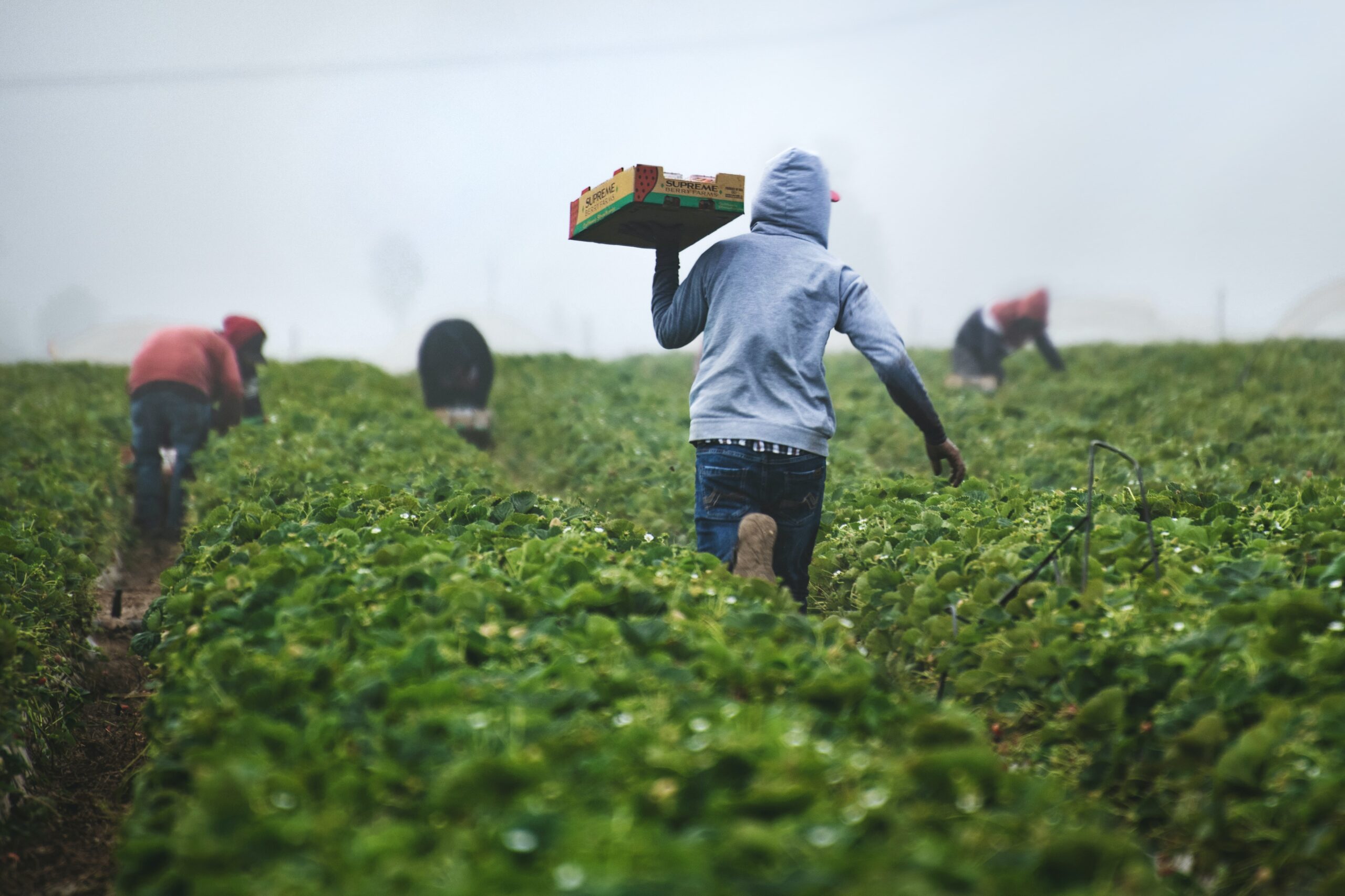
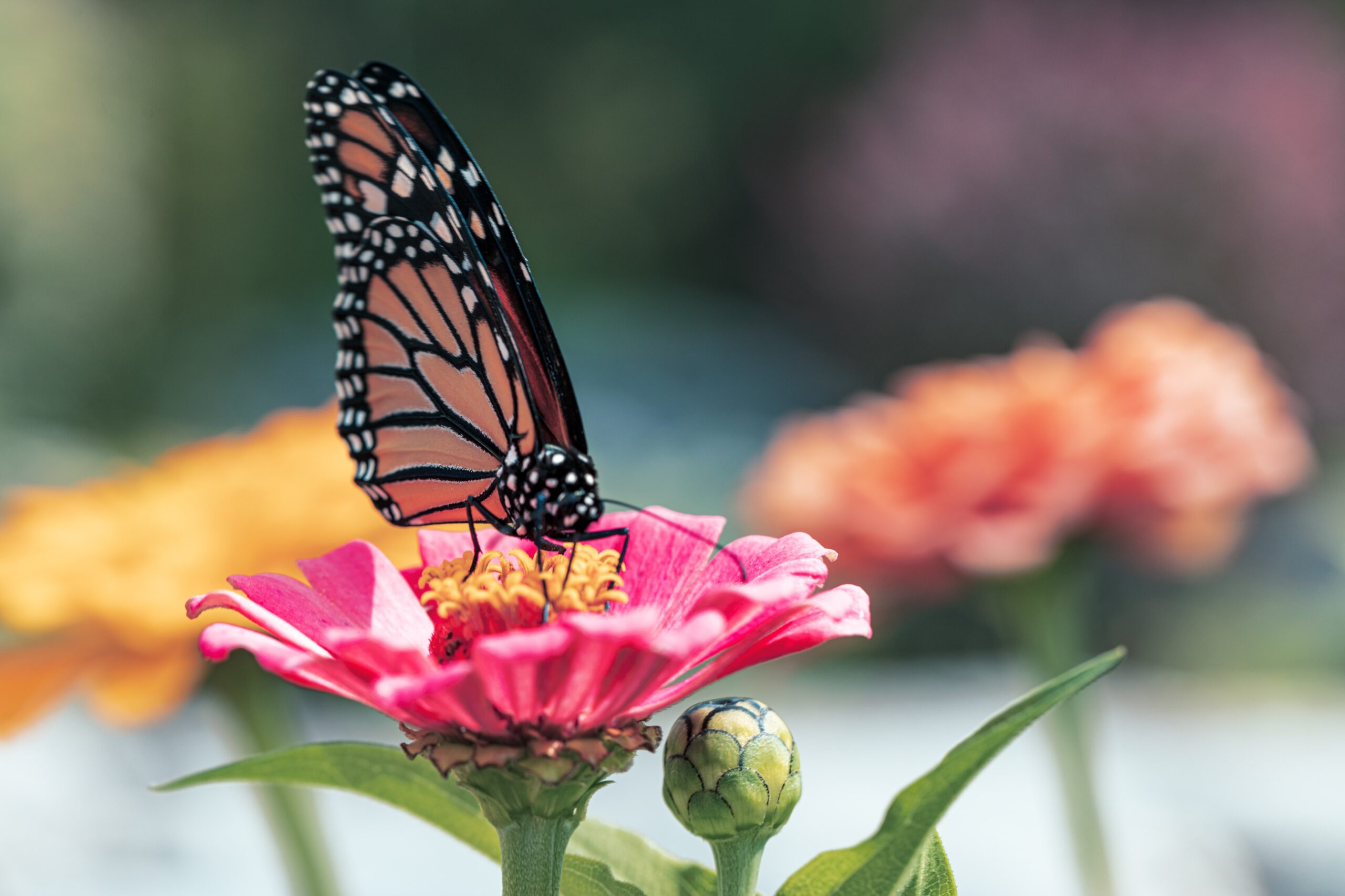
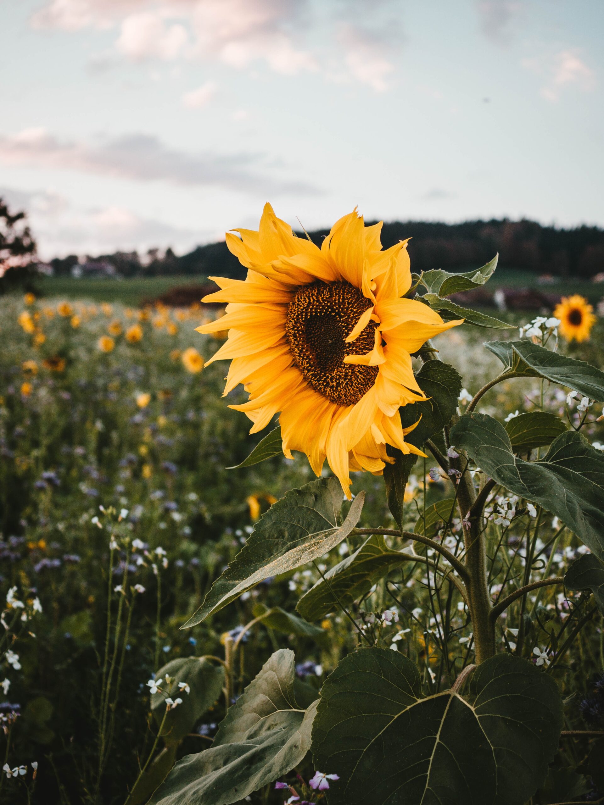
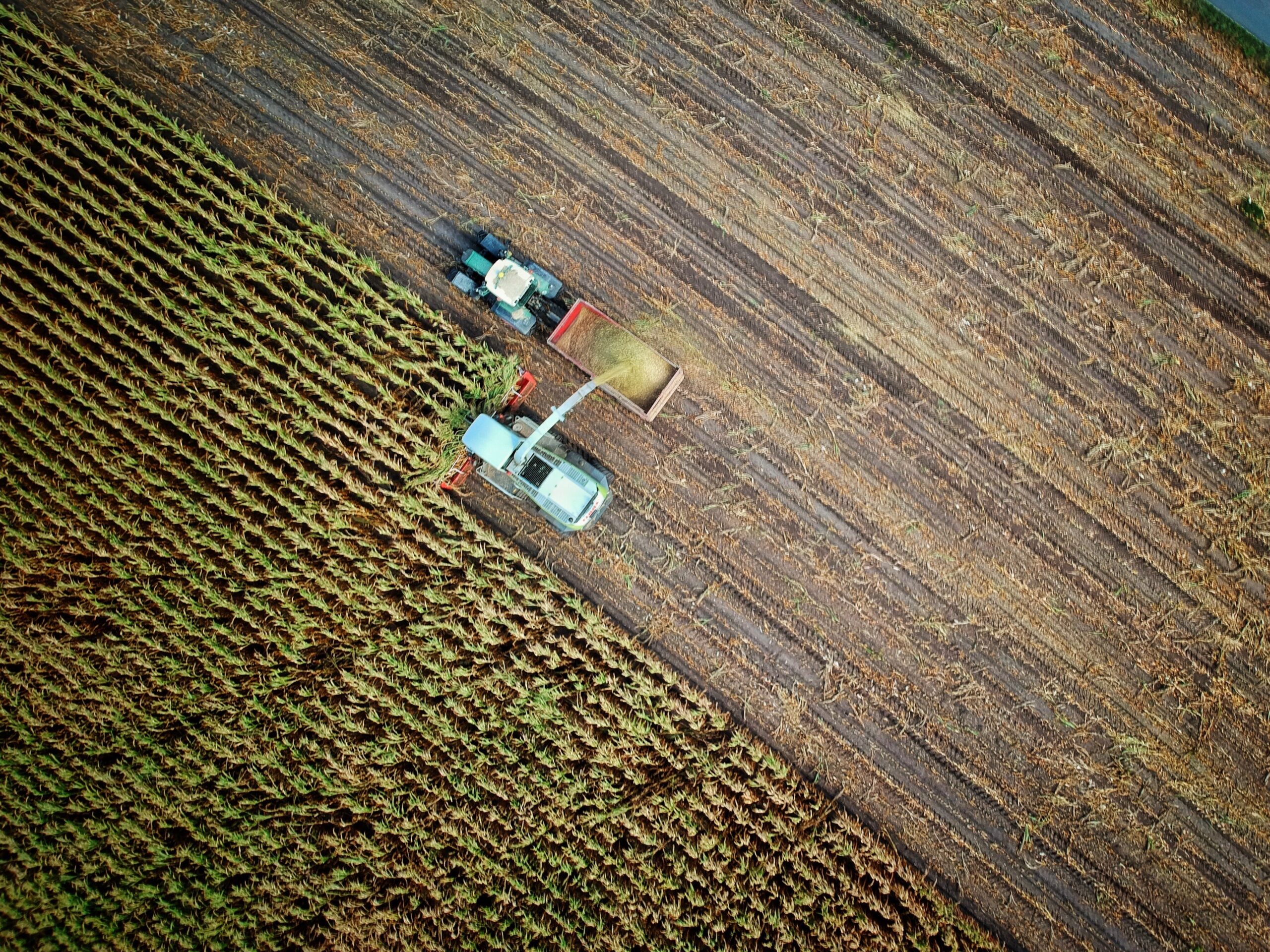
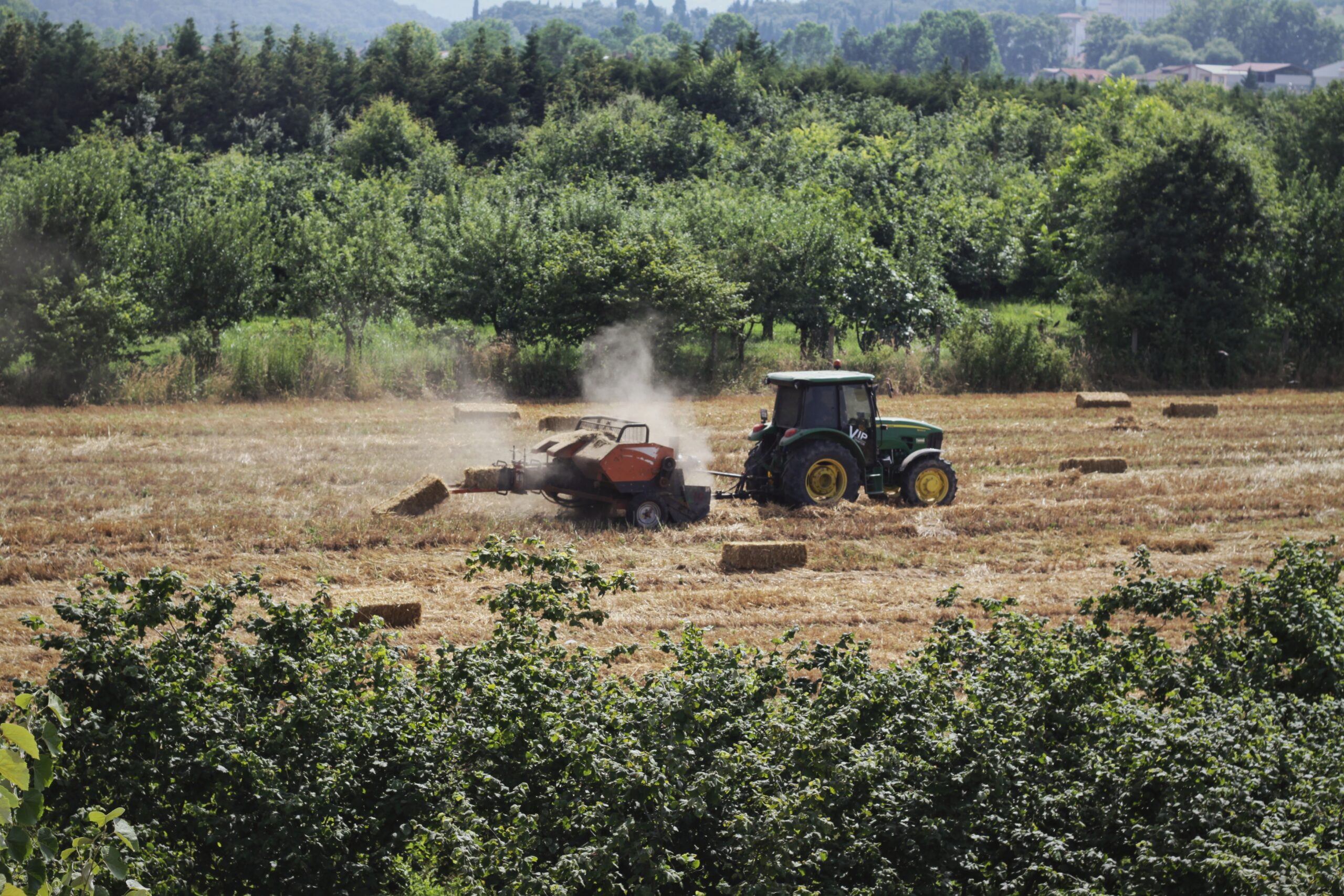
The French National Observatory for Biodiversity (Observatoire National de la Biodiversité) has developed a series of indicators to inform on the state and trends of biodiversity and on the relationship between biodiversity and society. It is also used to monitor the implementation of the National Strategy for Biodiversity. This indicator sheet describes the indicator for the share of agricultural areas, grasslands and meadows under CORINE land cover with hedges, tree lines, thickets, forest, scrubland and moorland : how it was built, what data is collected, and strengths and weaknesses of the indicator. It addresses several examples of responses to pollinator declines identified in IPBES pollination assessment, such as creating uncultivated patches of vegetation or increasing connectivity between habitat patches.